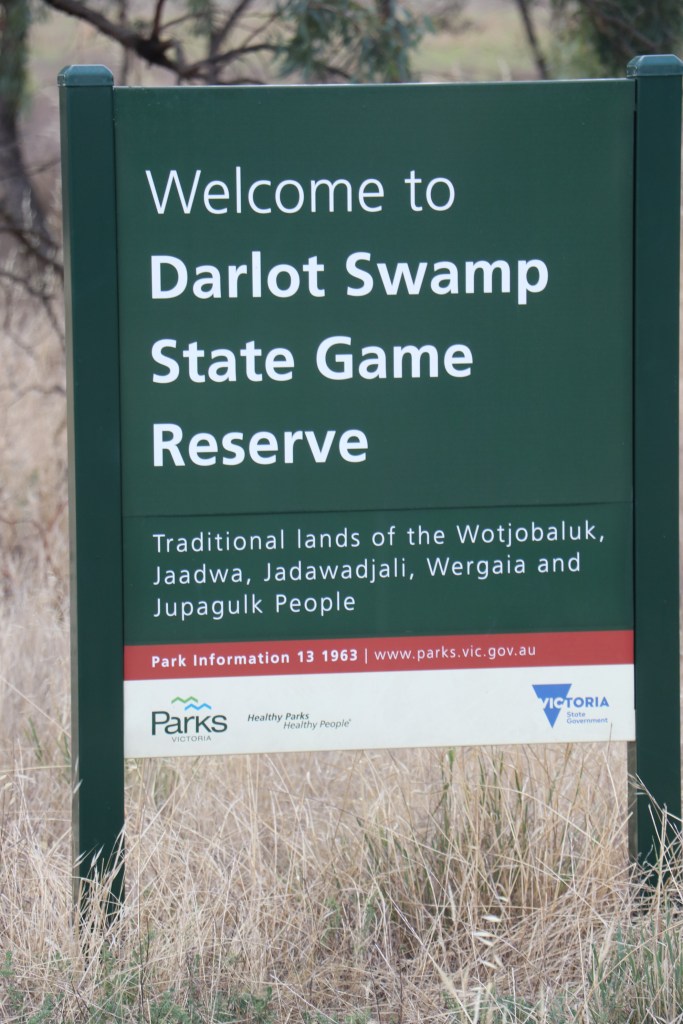
What – Darlot Swamp Wildlife Reserve, Jung
Where: North east of Horsham on Drung Jung Road, several km south of Wimmera Highway
How big:- 264ha and walking distance 8km
In 10 words: Miraculous – water, contradictory – cattle; interesting, tranquil more questions to answer….
Today we visit Darlot Swamp a place of beauty, peace, summer water, a mob of happy cattle, plenty of trees and surprisingly few birds (on our visit).
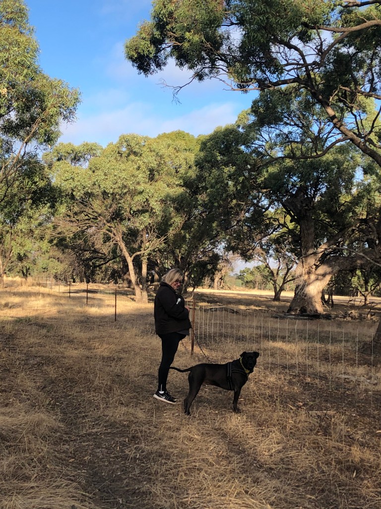
I am walking today with my friends (human) Charisma and (dog) Bean so probably more talking – less looking – goes on at times.
Darlot is filled by waters from the Yarriambiack Creek, which swings past about 100m away from the eastern end of the swamp.
In wet years some of this water can go full cycle and apparently head out the swamp’s western end and run, south back to the Wimmera River before heading towards Horsham.
A kind of water merry-go-round. Nature just can be so tricky sometimes.
Darlot – pronounced correctly as Darlo – is named after James Darlot, an early settler who apparently leased 10s of thousands of acres of land on either side of the Wimmera River in the early 1840s and also was accredited with naming Horsham.

Classed as a terrestrial protected area in a 2016 report, Darlot Swamp covers 264ha area and has also been host to 97 different birds since 1983 as reported on ebird.
https://ebird.org/hotspot/L2552613
I also found a few references to this being a place where locals faced unwelcome flows, probably during wet years when the waters did their big trip from and to the Wimmera.
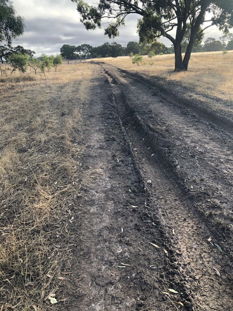
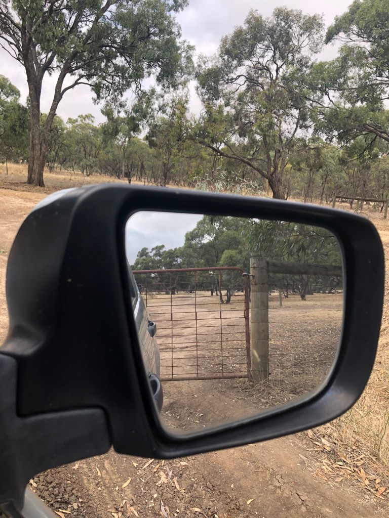
We park at the swamp’s western end just inside the gate off Drung Jung road, which we reached via the Wimmera Highway.
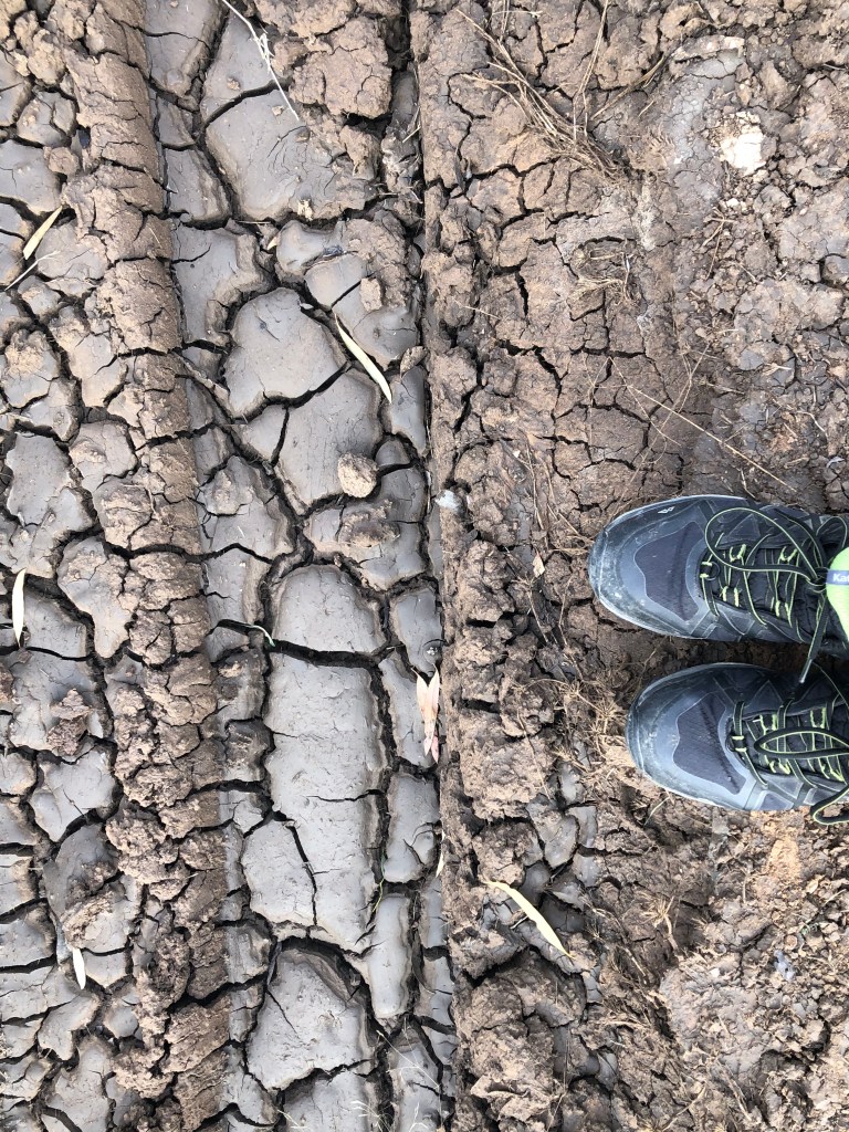
The gate is open and it looks like someone has been checking out the place after recent rain as there are pretty deep ruts in parts of the grey clay track.
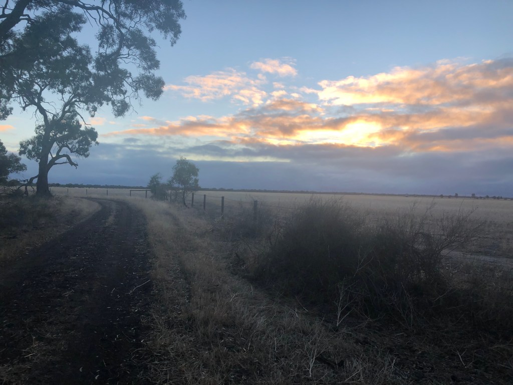
It’s 6.50am, 14 degrees and feels like 10, sky is a murky grey and a technicolour sunrise seems highly unlikely. So let’s get walking
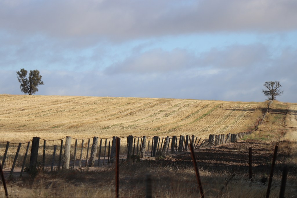
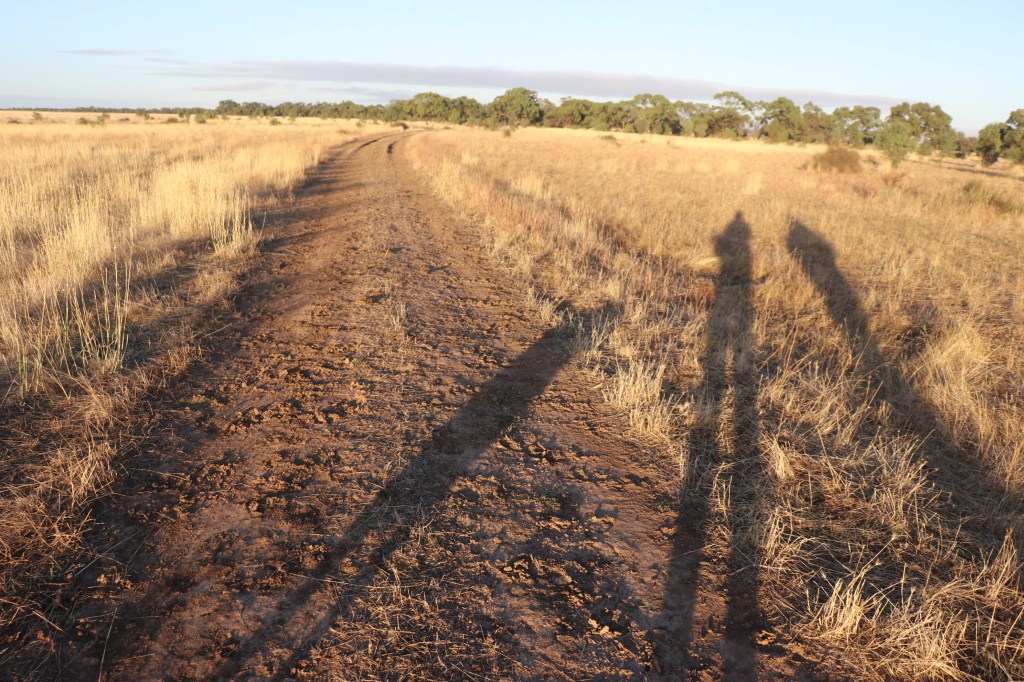
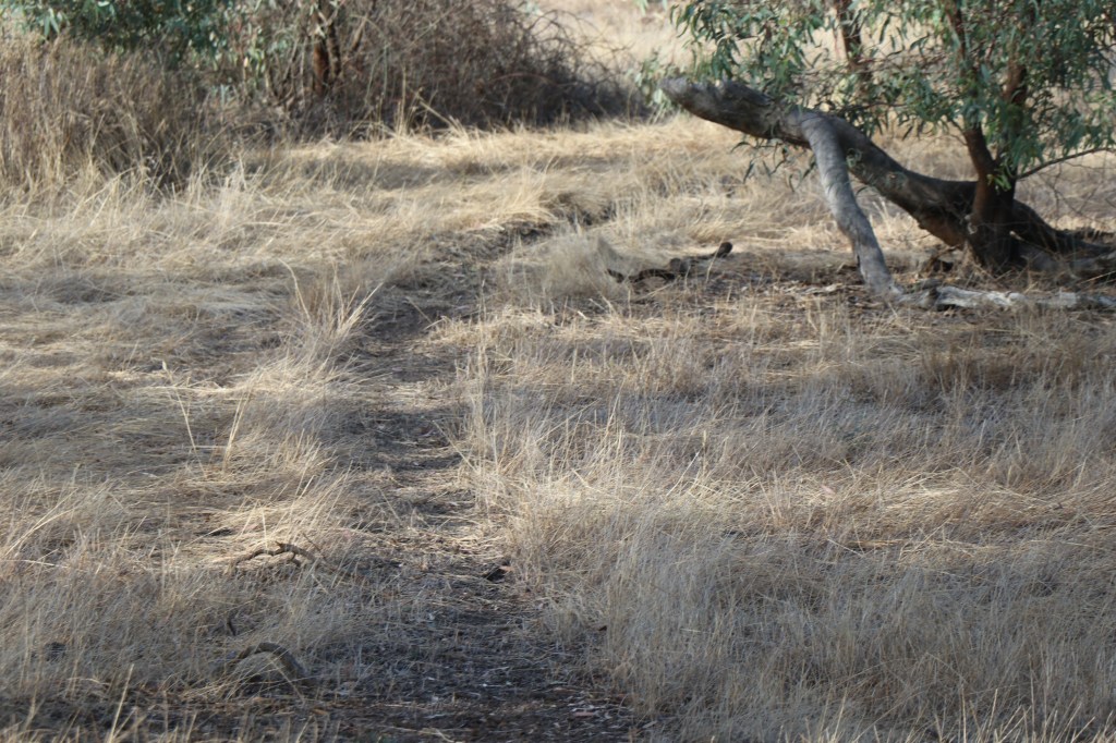
It’s a dirt track that, that according to google maps should pretty much follow the wetland’s outer edge.
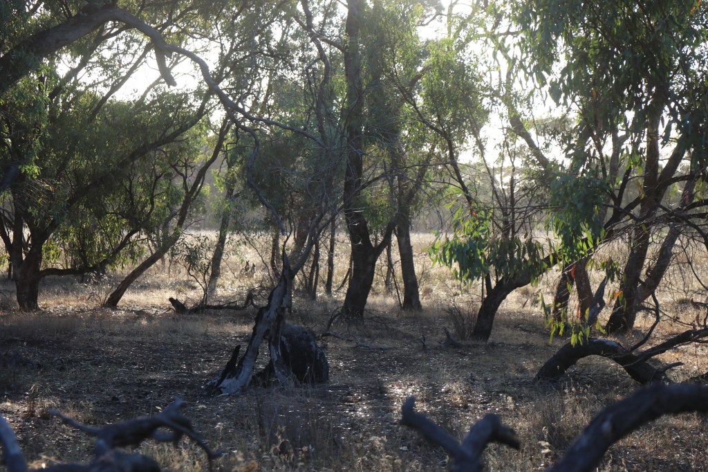
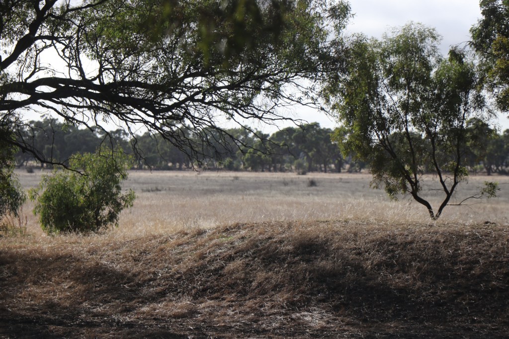
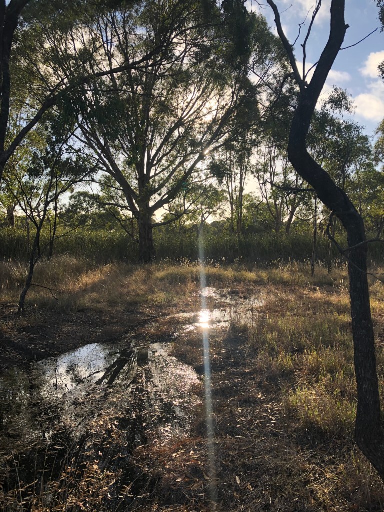
There are no red gums here, but a line of lounging box trees along the shoreline patiently kicking back and waiting for another drink. Might be a long time coming.
One of the first things we notice are both a mob about 30-40 cattle in the distance and a few bits of cow manure lying amongst the dry grass. One rogue escapee we wonder, or maybe we are not alone on the reserve.
We moove ahead regardless.
It’s windy and cool so even if the birds are singing in the new day we can’t hear them. The sky does turn a little dusky pink and blue as the sun rises in the east but if you blink you almost miss it.
As the light grows, so does the intensity of round, fresh cow pads and we realise the cattle are not on the other side of any fence. .
This will not bode well for leashed but excitable hound – so we head to shelter of the trees and follow what looks like the resident roo tracks for a couple of hundred metres.
Of course the cows then move across the path in front of us and towards the swamp centre so we go back out to the track. By this time the grey skies have been brightened by early morning sunshine.
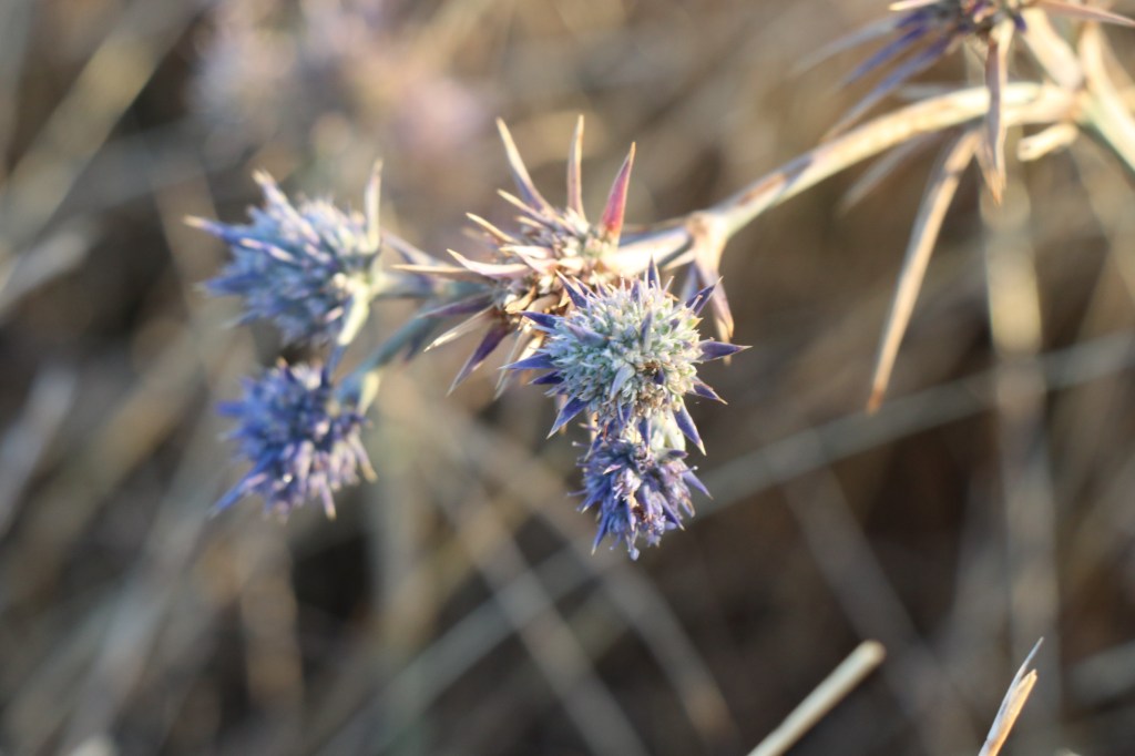
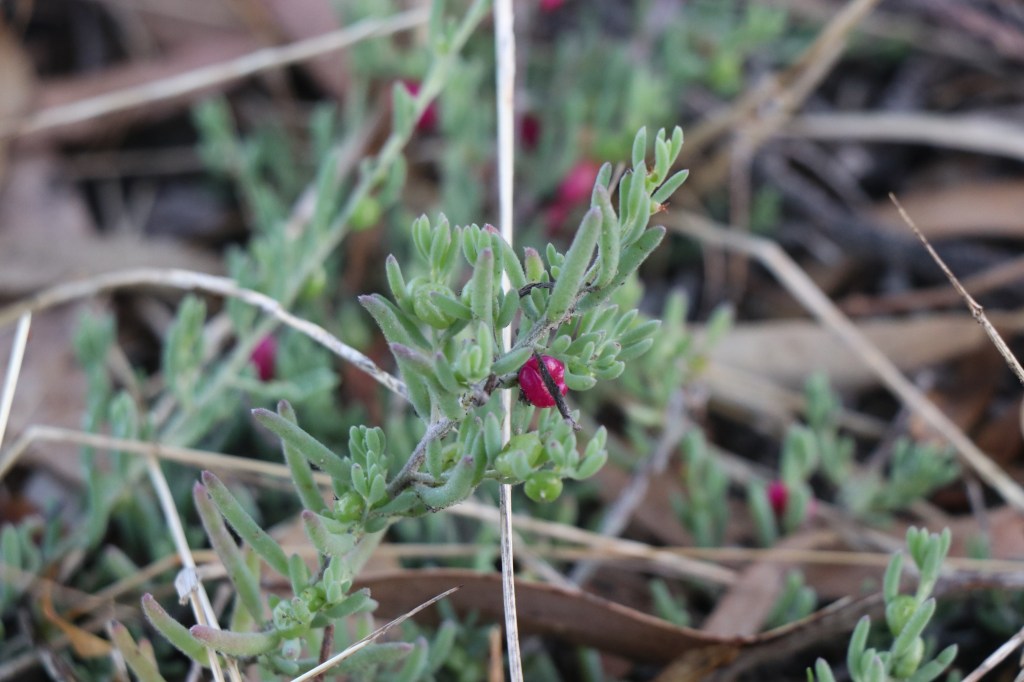
In the mess of dry grass and cow manure we find a small patch of magnificent spiky Blue Devil flowers, a native plant that flowers in the summer.
Soon we come to another gate, walk through and head to what looks like the lush end of the swamp.
We find more trees and you can see just how much the grazing has reduced the thickness of the grass on the other side of the fence. At least it is cool so hopefully the snakes are like the birds – laying low till it warms up.
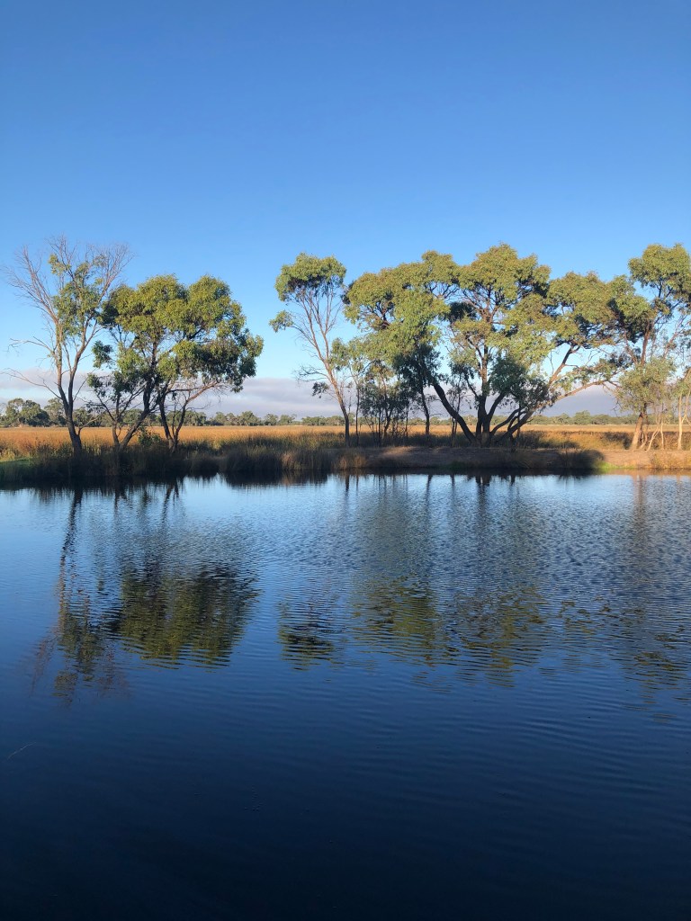
Then we discover a full dam and see where a channel has flown into it. It is a bit of an oasis but we remember how the Wimmera River was in minor flood mode last week. We figure this might be a happy consequence of this.
It will be one of a few dams we will find on this walk and likely a legacy to the former channel system and reliance on dams as holding points for water in this thirsty landscape. But this will be the only one with any water.
It might have been a swimming hole too as this looks like the perfect spot to relax at the end of a hot Wimmera day.
It’s really hard to find out much about Darlot Swamp. It doesn’t rate in lots of online reports and many people don’t even know it exists. Just about every khaki-coloured sign looks trashed on the ground too and they are virtually irreadable.
You do find a bit of information from the duck hunting fraternity so I am glad I did not do the walk a few months later. Not that I can imagine it will host a sea of ducks this year unless we get a lot more rain. We see two ducks for the whole walk as the swamp is completely dry apart from the dam at the end.
As we head around the northern tip of the swamp there are clues as to this being an important water source some time in the past. Channels coming in and out, abandoned windmills and tanks and huge concrete structures that look like old weirs.
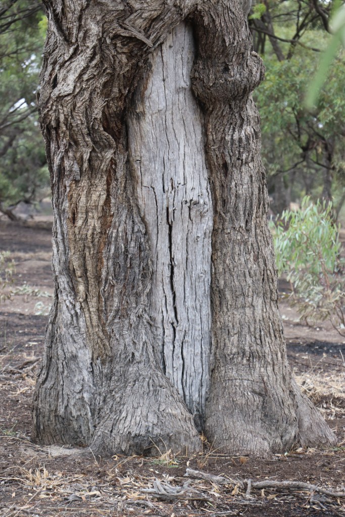
We also come across what looks like a scar tree and we see both kangaroo tracks and kangaroos during the walk.
Near the end of the walk we also see that there has also been some action at the swamp’s western end. A couple of hectares of the ground is black and you can smell the charred aroma of a recent fire.

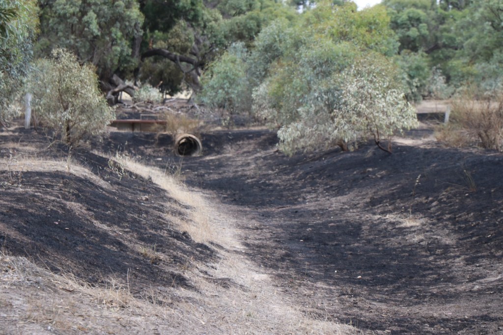
It only covers a few hectares, but at this time of the year could have been much worse.
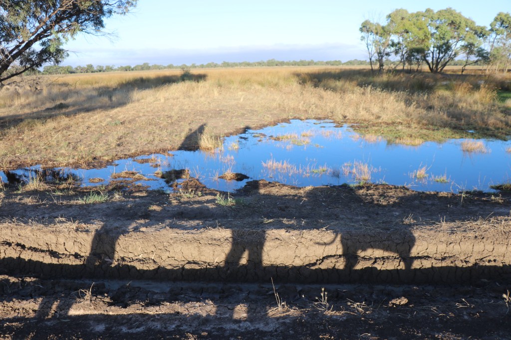
We also see where the water overflows out of the swamp in wet years across a floodway on the track.
Right near the end we find the most absurd thing of the day. A sign dated 1993 declaring this a grazing exclusion study area.

Obviously cows can’t read or they are working on a set excuse that they are just walking and not eating. Sounds like bull to me. The more likely outcome is that the study has ended some time on the last 28 years.

So we end the walk a bit like the start. Fascinated by this place, wanting to know more and glad we braved the cool morning to come and explore.