What – Barengi Djul (Wimmera River) from Big Bend to Barbours Lake and back
Where – Wimmera Track west of Wail in Wail State Forest
How long – 9km
10 words or less – River, dry lake, sand, scars, pines, camping, wallaby, kangaroo, questions….


We all know the Wimmera River – Barengi Djul or Barringgi Gadyin – it stretches from the mountains of the Pyrenees, north to the Southern Mallee sands.
Today we are going to visit a little snippet of this Heritage River between Horsham and Dimboola in the Wail State Forest.
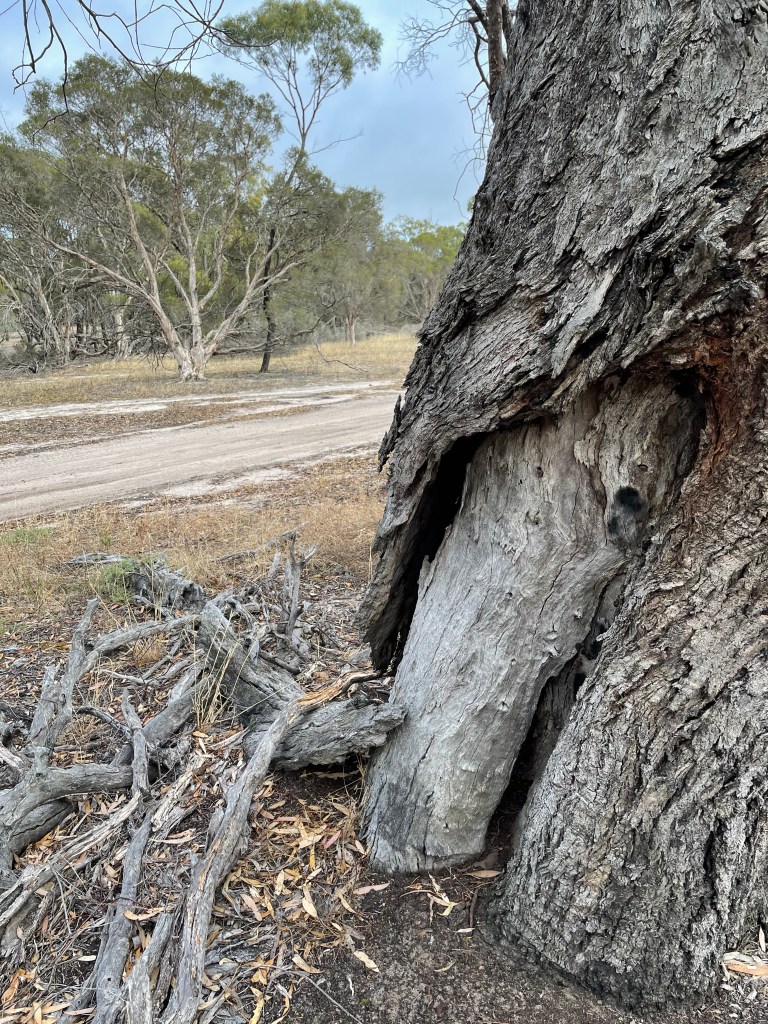
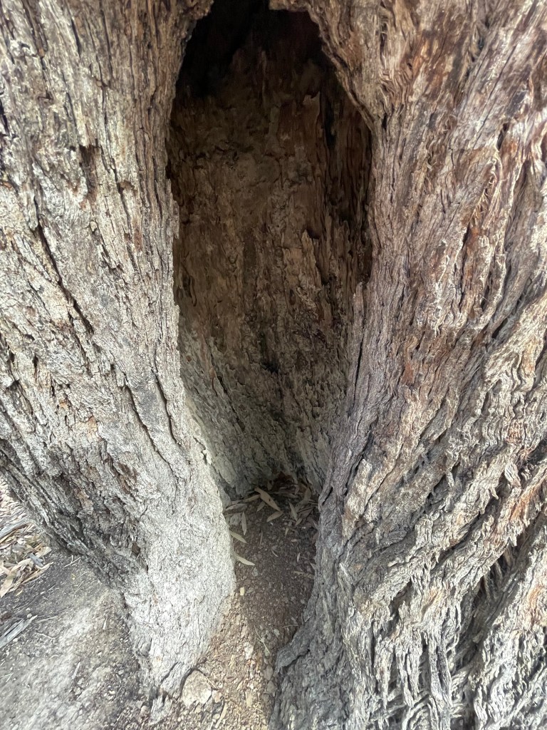
It’s a place of cultural heritage with plenty of scar trees, signs of middens and reports of stone scatters.
And just up the River on the other side at Ackle Bend or Wutiyeti, ( which means Camping Place on the river) there are even stories of a local Bunyip.
Our walk starts at Big Bend picnic ground and winds along sand tracks, across Reedy
Swamp or Barbour’s Lake – depending on which map you read – and back along the river bank.
Today we will see plenty of water, sand hills or lunettes, a mix of different plants and the odd kangaroo and wallaby.
I struggled to find a lot of documented history about this sandy landscape which does feel less altered by white settlement than other parts of the region.
In 1902 Wail residents were lobbying for a stock and domestic water supplies so maybe a lack of water and the sandy soil saved it from clearing.
That year locals attended the Polkemmet bridge opening with activities including a ladies’ nail driving competition and a women versus men tug of war. The Wail school meeting also agreed ‘in a most liberal manner’ to subscribe money for a library and science apparatus.
Later in the 20th century science was applied several kilometres east at the Wail nursery where the Government established an arboretum, researched, and propagated 1000s of trees and helped farmers get them in the ground.
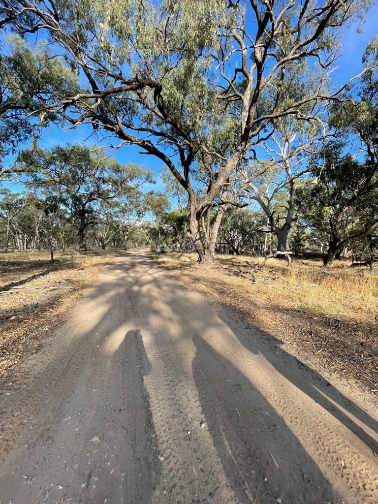
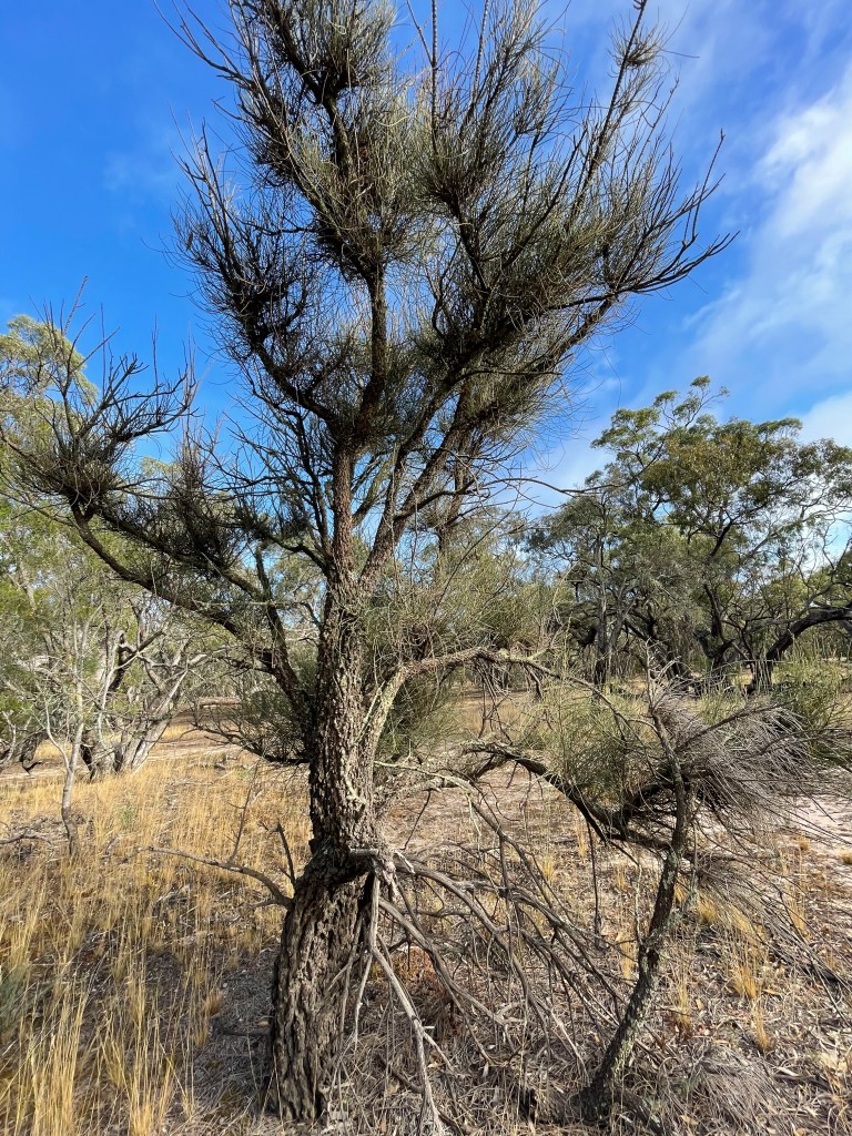
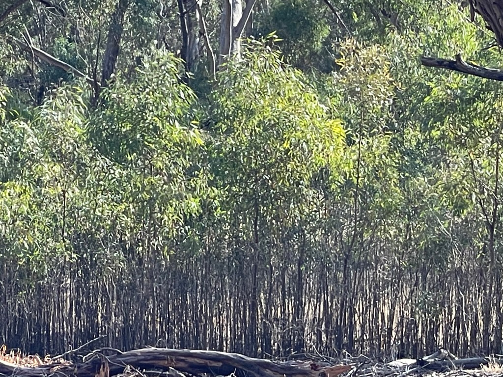
Our walk takes us along a sandy track that would not be brilliant in two-wheel drive. On the right is a forest of native pines which makes a welcome change from eucalypts.
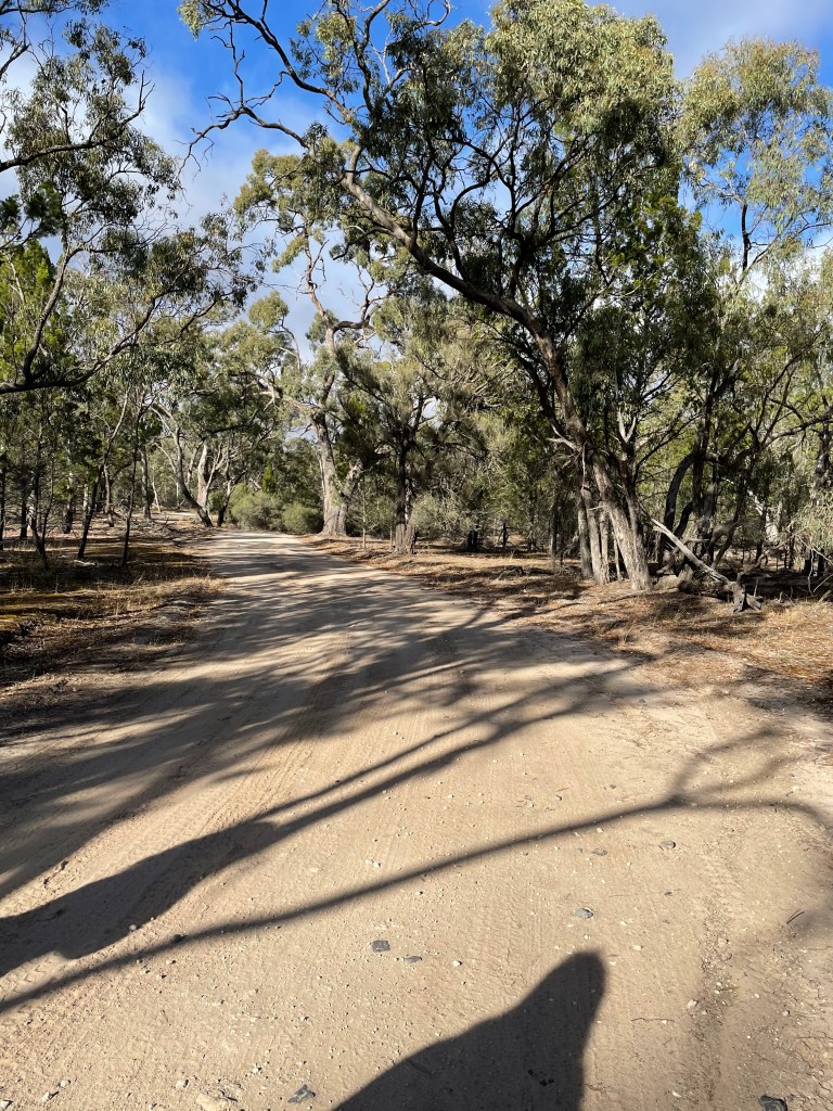
It is cool and windy so we don’t hear a lot of birds, but we do disturb a couple of kangaroos. You get the feeling there are more motorcyclists, drivers, and anglers than bushwalkers out in Wail State Forest.
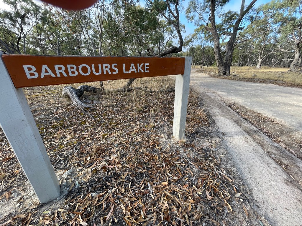
We follow Wimmera Track for a few kilometres looking for a turn off to Reedy Swamp or Barbour’s Lake.
I found a bit of information in a 2011 CMA report citing a Reedy Swamp being a permanent saline wetland that could reach up to 2 metres in depth and typically held water all year round.
A lot has changed since 2011 and it appears this includes the permanent water and name of this swamp that now has the sign Barbours Lake at the northern entrance.
I found no information about Barbours Lake or even who Barbour was although there were and still are plenty of Barbers in the district.
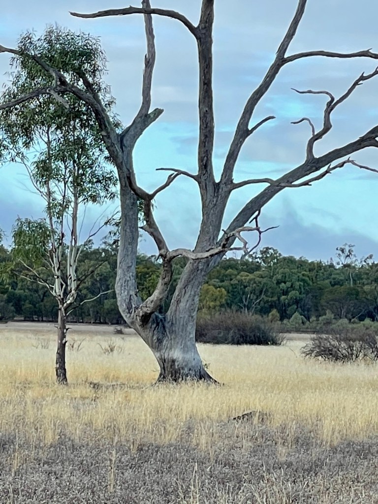
The lake’s depth is another interesting question. One large tree is sporting a watermark well up the trunk so it must have been wet here sometimes in the past.
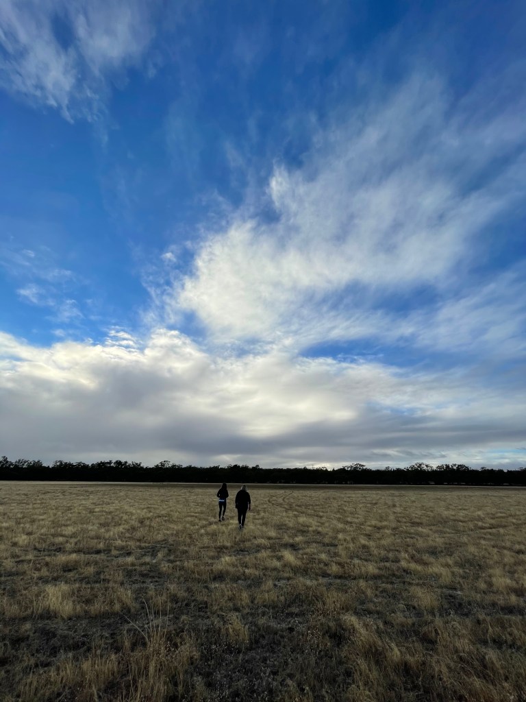
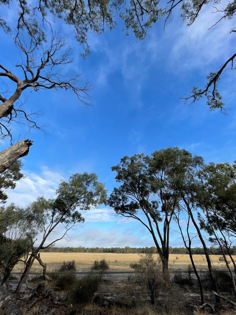
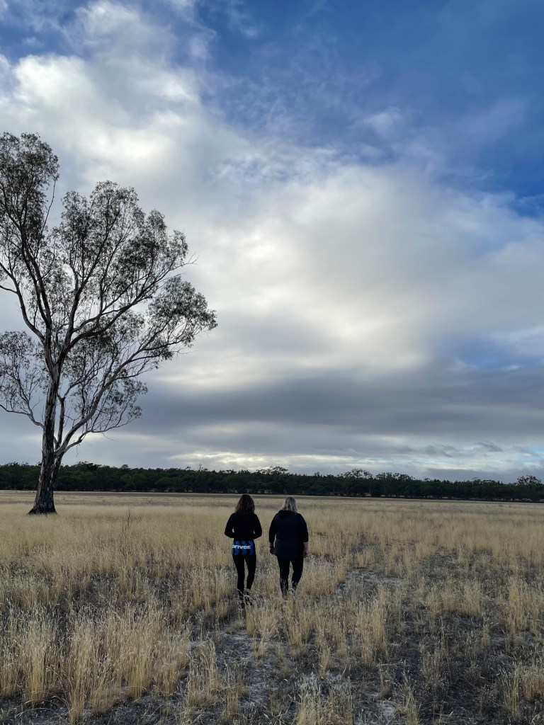
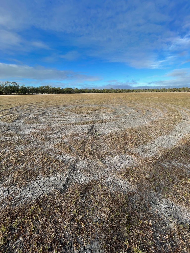
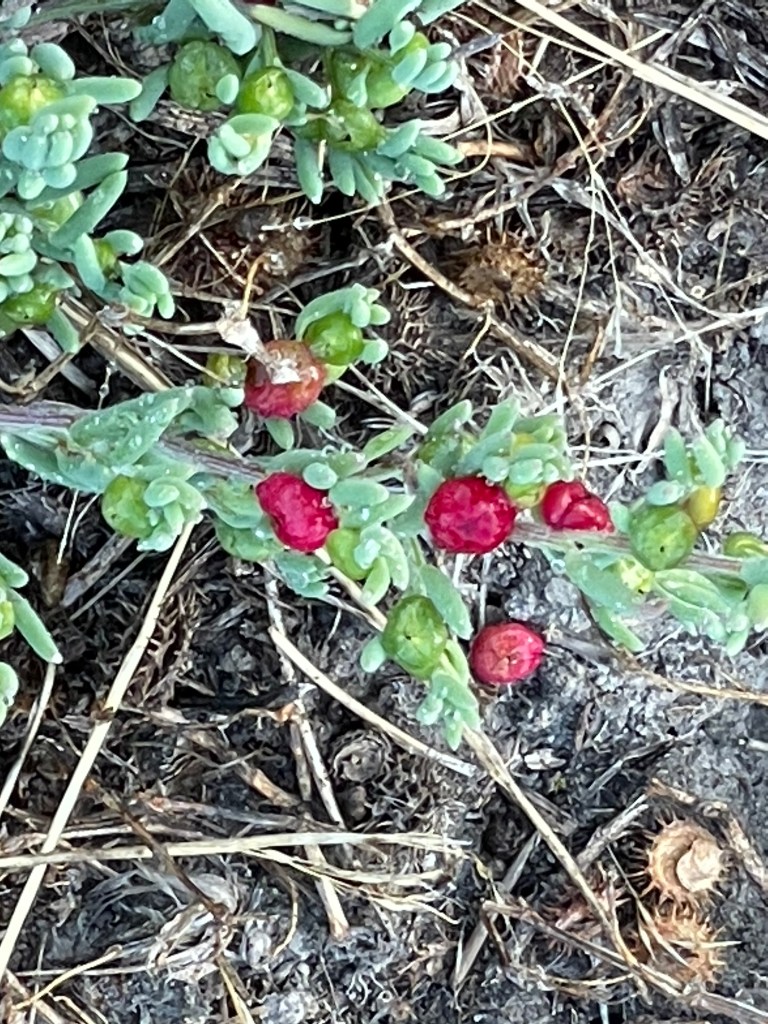
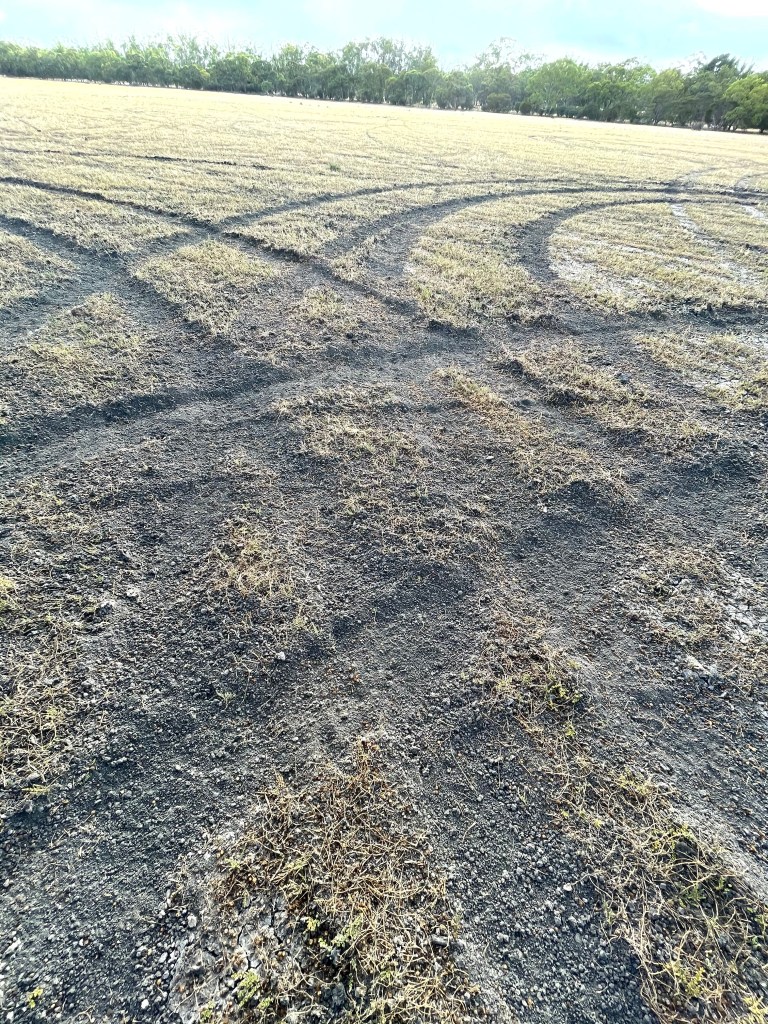
Today things are dry with ruby saltbush growing on the lakebed and plenty of recent vehicle tracks heading from one side the other.
It feels more like a dry paddock, than a reedy swamp.
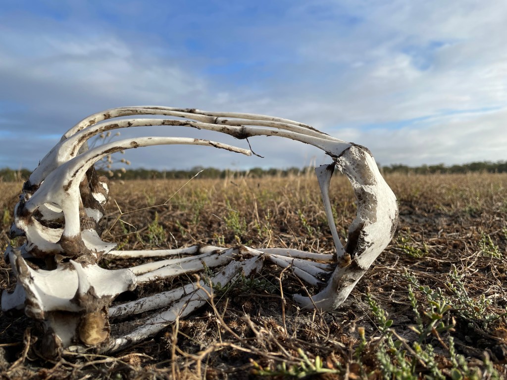
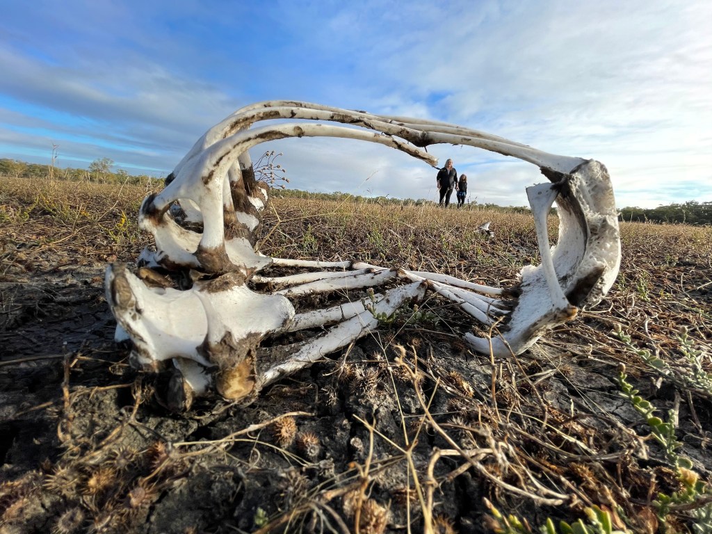
One other find out in the middle is a kangaroo carcase, spread across several metre, with a small skull suggesting there was also a joey’s in the mix.
Things get interesting on the other side with a noticeable hill beyond the bank -possibly a lunette formed from the soil blowing over many years in times when the lake was dry.
Large gums form a boundary ‘fence’ of this wetland arena and beyond them is a big crowd of spindly pines all cheering silently from sandy hill.
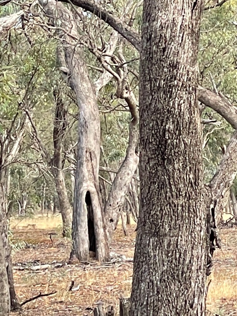
We are also seeing a few scars on the trees and the view and atmosphere suggests it is a great place to be a spectator of life, especially when the arena had water.
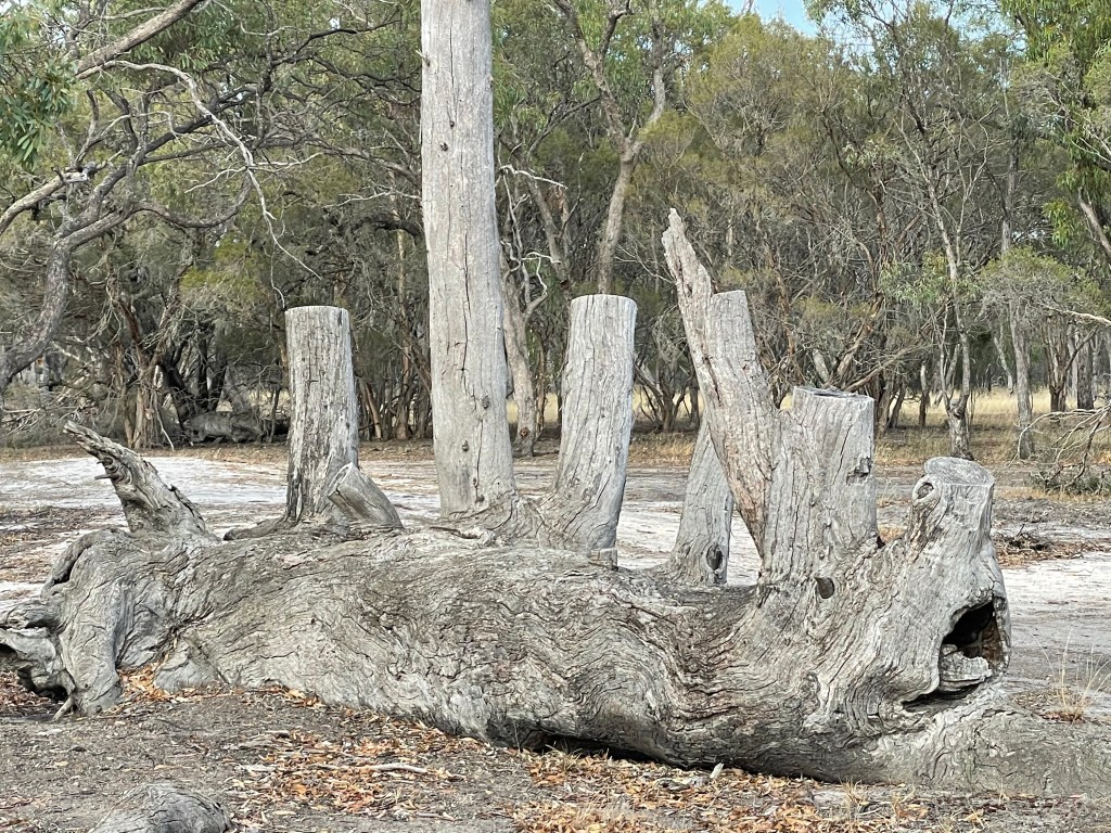
Further on the boundary line is also home to some paperbarks, an odd buloke and some other shrubs. After several hundred metres we reach Wail Camp 2 and the official entrance to Barbours Lake.
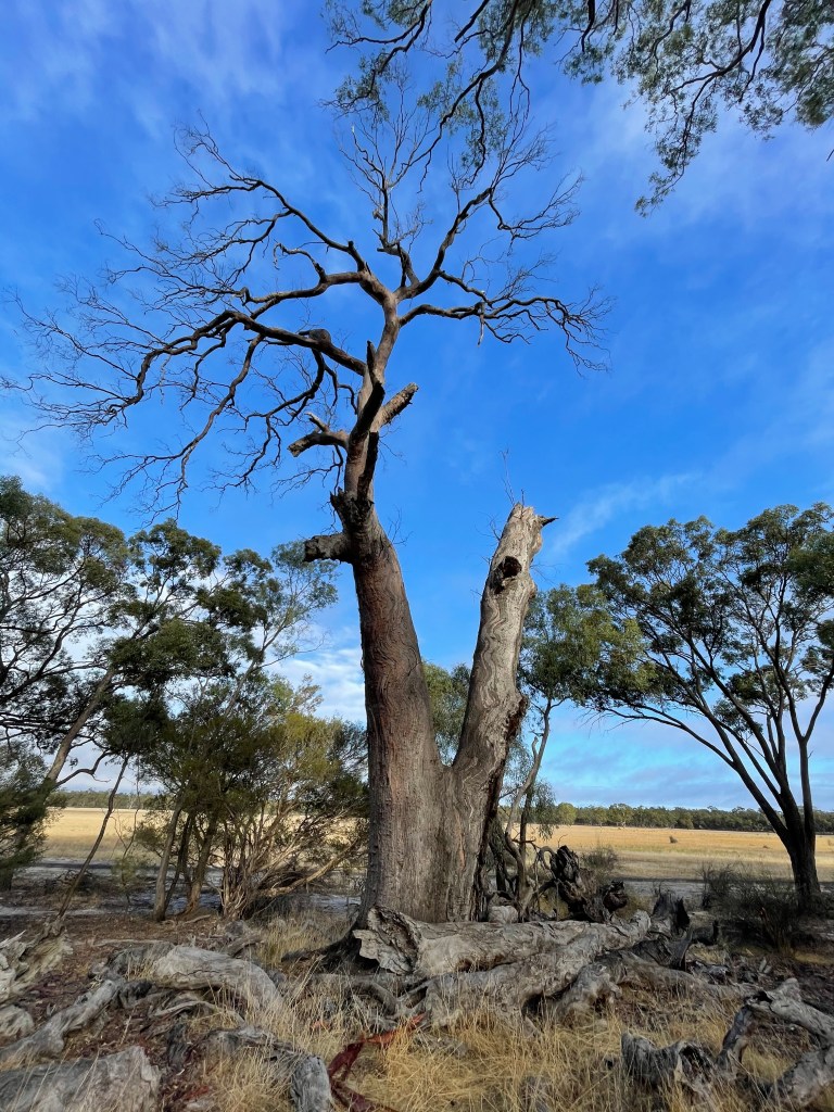
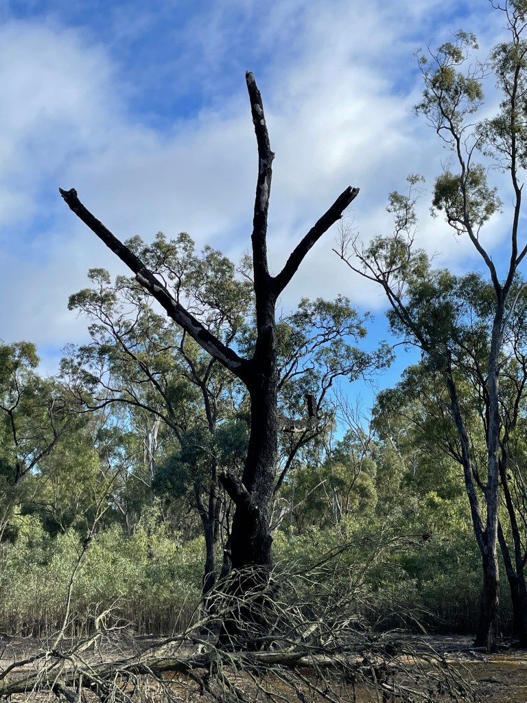
A feature of this basic camps site is an unusual dead tree. Lounging on its side it looks like it fell over many years ago and several new branches grew vertically from the trunk. Not a bunyip but a possibly a multi-armed trunk monster.
We leave the lake and re-join Wimmera Track, now heading south to our starting point. But instead of sticking to the road we veer into campsites along the Wimmera River.
In some parts we are walking along a billabong which is dry and separate from the river, but we also enjoy plenty of tree-lined stream.
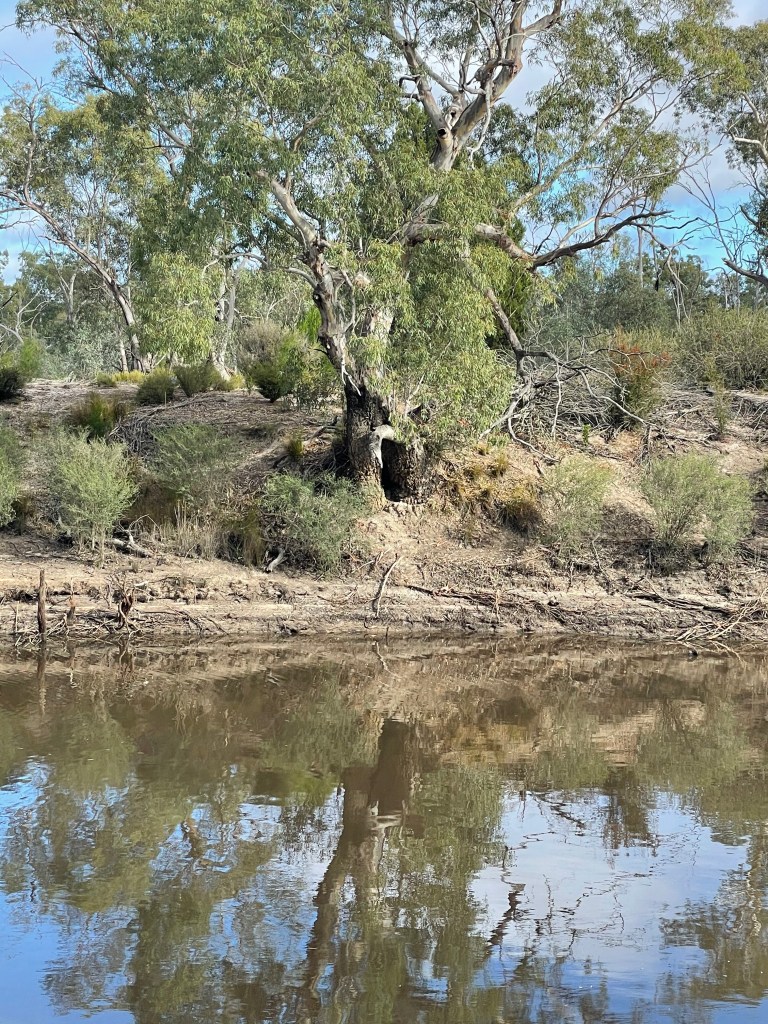
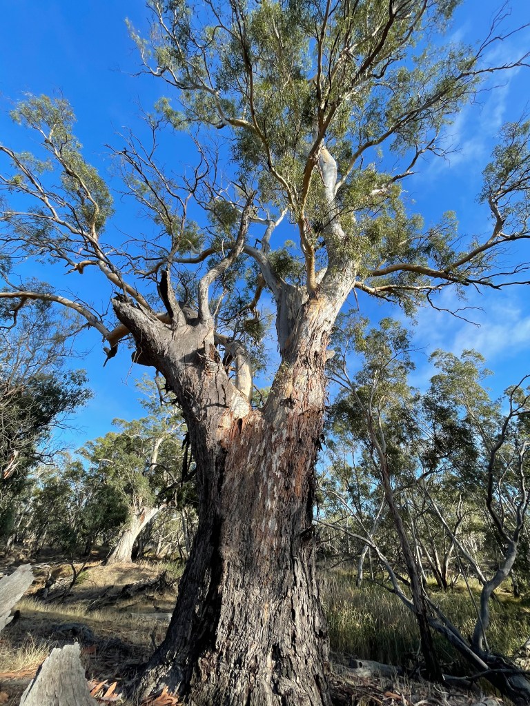
The red gums are old and impressive, and the tall banks suggest that this area can host some big flows in wet years.
Lush clumps of eucalypt saplings are the progeny of recent floods and bare black trucks show this area has also been hit by fire.
There are quite a few scarred trees along this stretch, the odd buloke and one tree with bright yellow berries which I could not identify. Any ideas anyone?

Wail State Forest is quiet, peaceful and a great place to walk and apart from one ute – where the driver asked if need help – and a cluster tents at one camp – we are the only other humans here.
Barengi Djul’s still water plays host to many ducks and a few mysterious bubbles but we can’t report any bunyips.
Our calves get a work out in the sand but our souls are pretty well soothed by the time we return to Big Bend. A great way to start the weekend and an excellent 9km walk.