What – two gullies walk at Dyurrite, Mt Arapiles.
Where – West of Natimuk, Victoria
How far: Two gullies walk is about 5km, but I did a bit of a detour around the camp
10 words: Energising, exhausting, amazing views, contrasts, rocky, historic, just do it!!
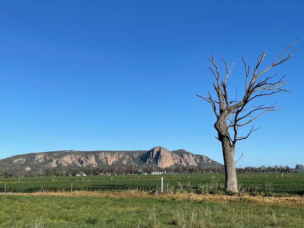
Mt Arapiles – Dyurrite is many things.
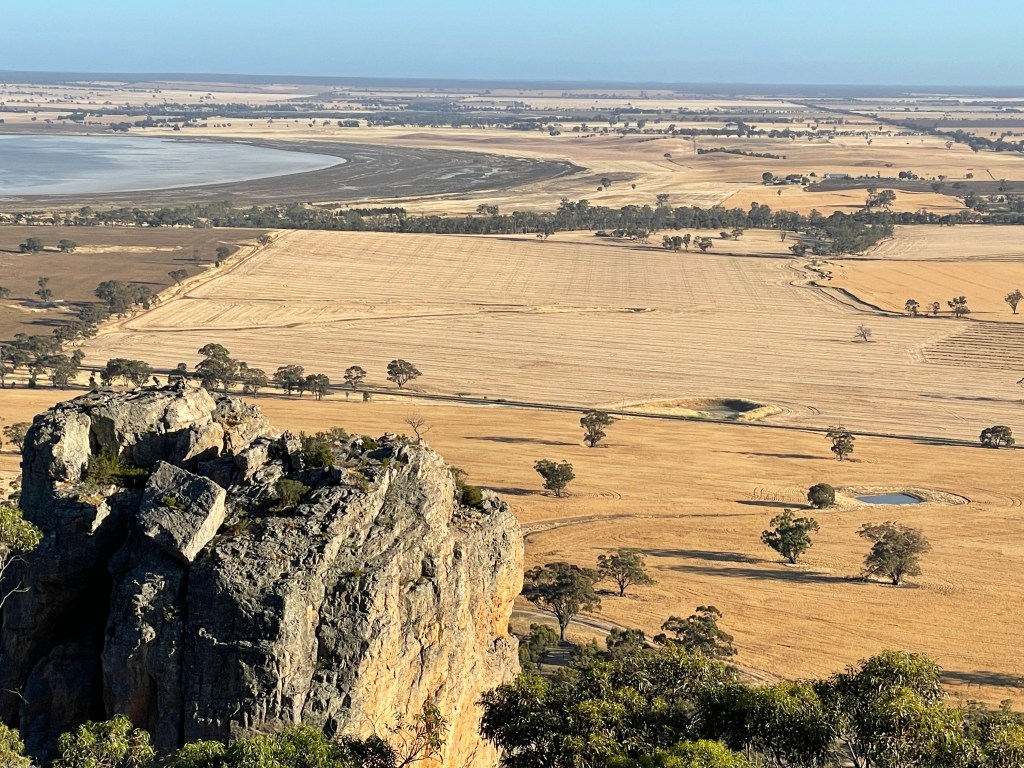
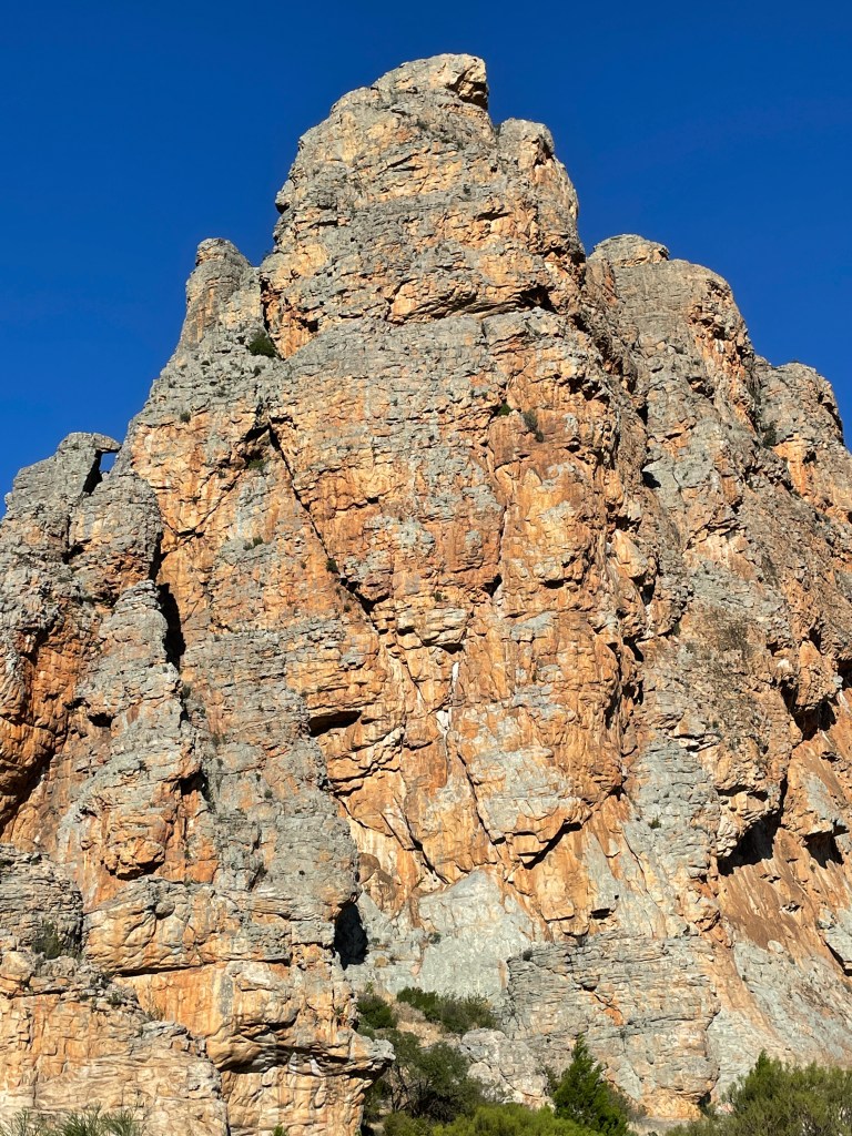
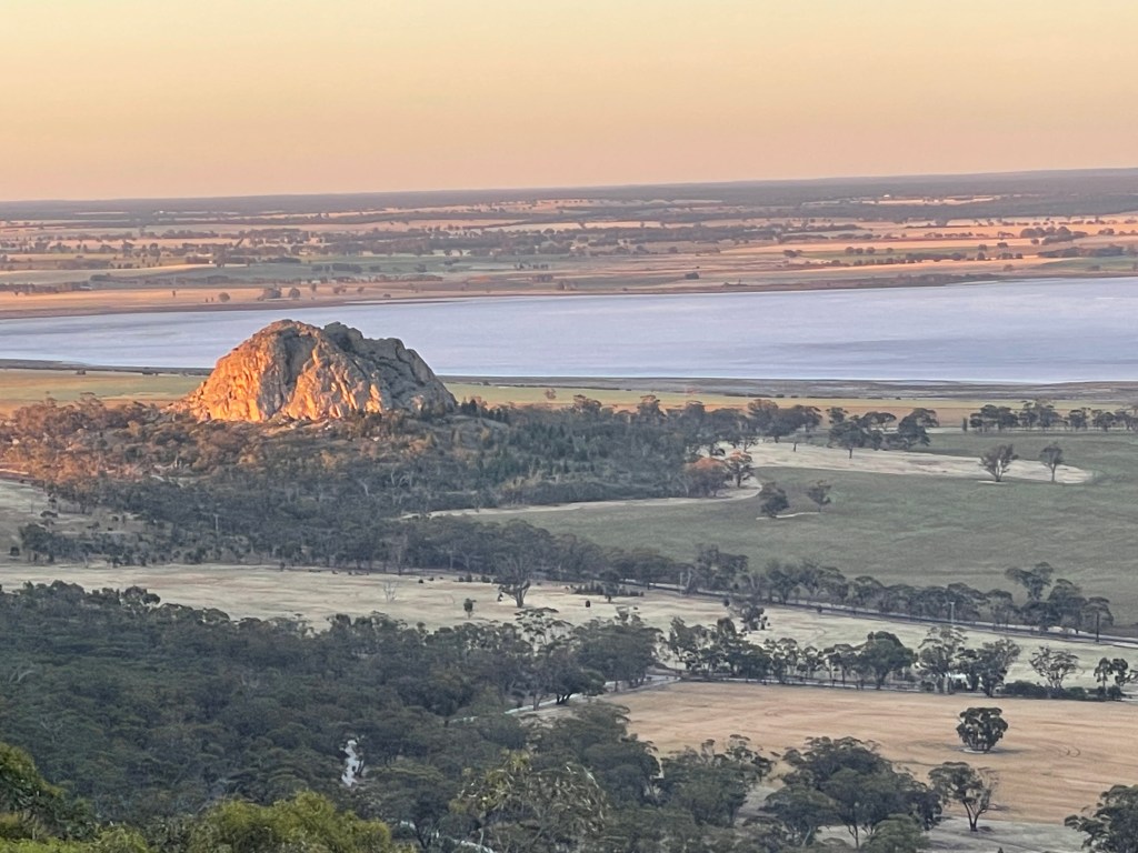
She has a presence, standing tall and proud – an island of rock in a flat sea of clay, sand and stubble.
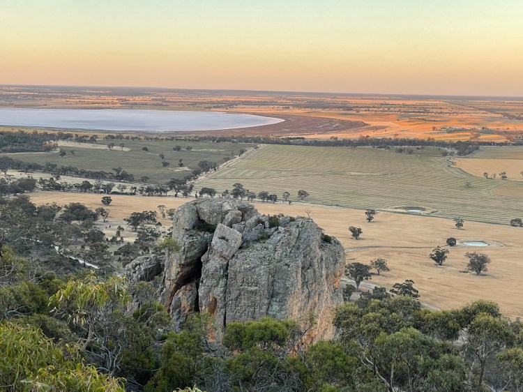
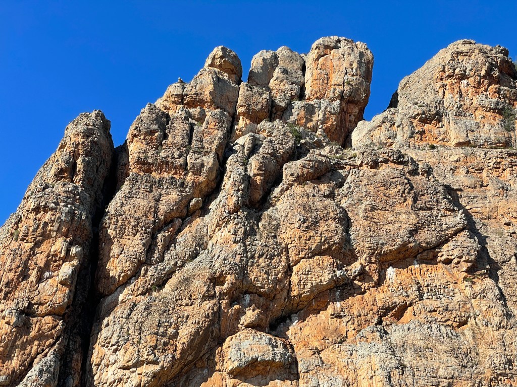
She dazzles when dawn or dusk light catches her rock face.
She has watched countless people pass her way over 1000s of years and silently holds their secrets.
She happily shares her park with a host of animals and plants.
And every day she patiently hosts climbers, who spread like tethered ants across her body, in their quest to achieve the almost impossible.
Dyurrite is one hell of a rock – in so many ways.
She is home to more than 40 important cultural heritage sites for the Wotjobaluk people, including quarries, rock art and shelters. Her hardened sandstone was perfect for tools.
About 40-50million years ago, she sat in water, an island in the Wimmera’s inland sea. Today, years later, some rough textured rock faces still bear wave erosion marks.
Not being agile enough to spread like a tethered ant, I am going to ‘eleph-ant’ my way up and down two of Dyurrite’s gullies today.
She is more than a just wall to conquer and I will show you why.
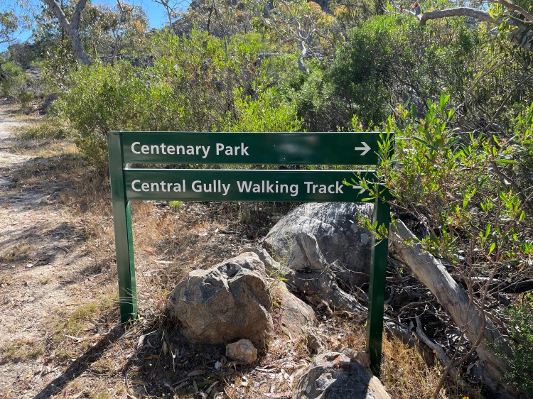
Being seriously unprepared, I am map-less but will be guided by vague memory, gut instinct – and any signs I find.
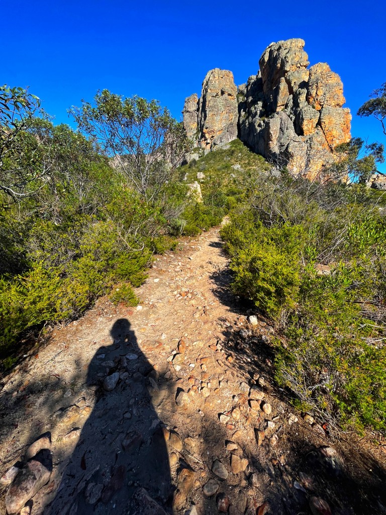
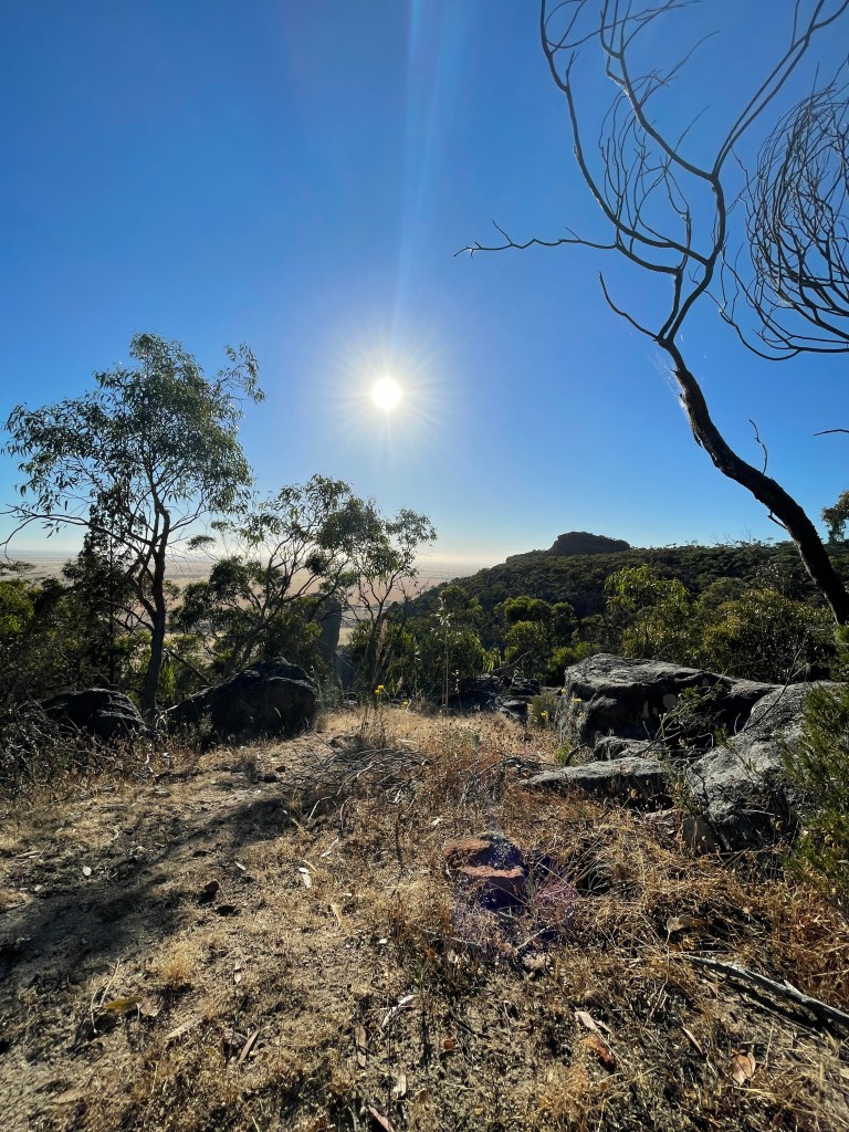
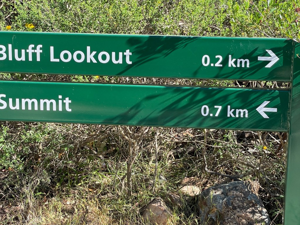
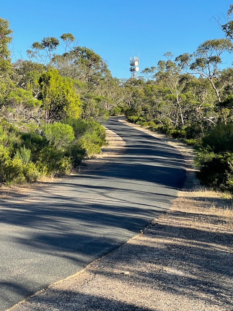
I drive towards the summit and park at the Bluff lookout, walking from here towards the summit, before turning off onto Pharos Gully Walking Track which heads down the side of the rock.

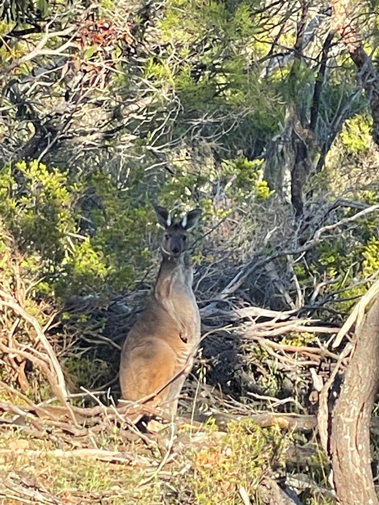
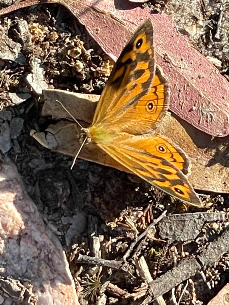
I see a kangaroo– then he sees me and retreats. I am also playing unofficial chasey with tan and gold butterflies along a narrow winding track.
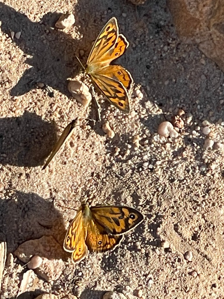
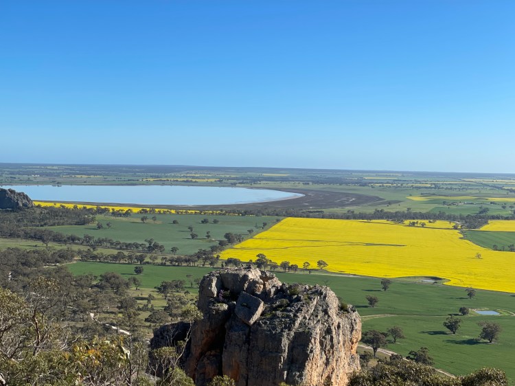
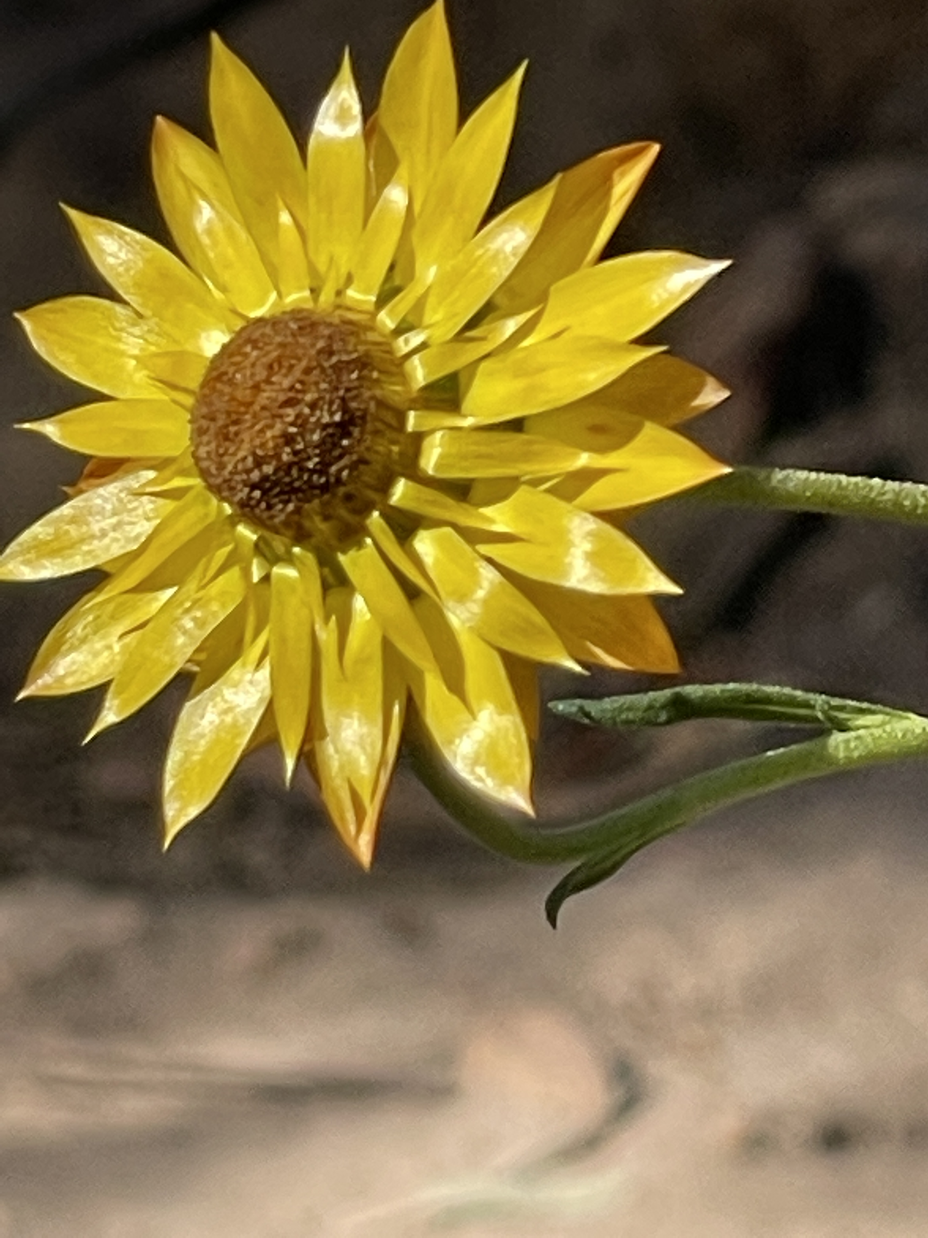
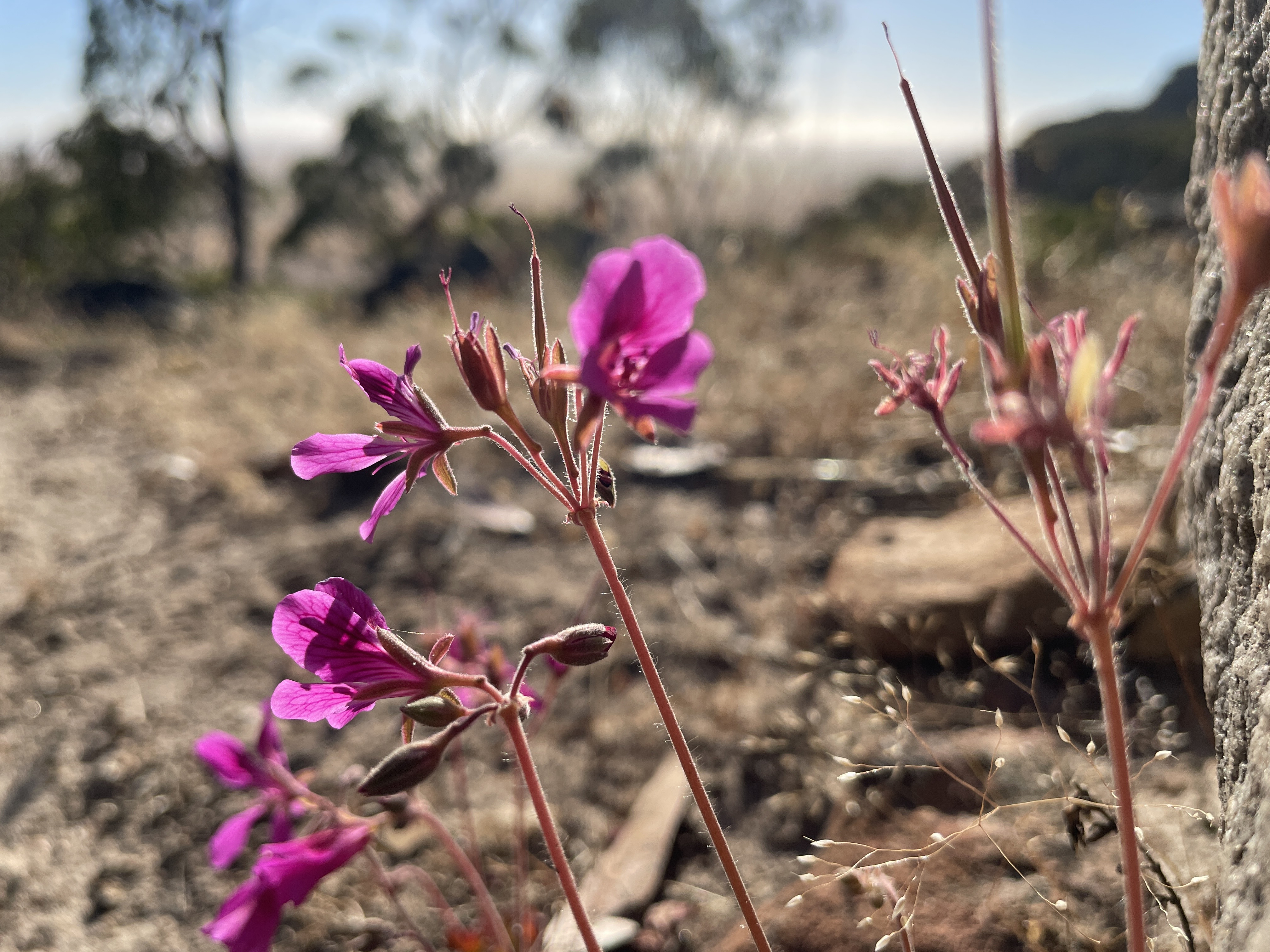
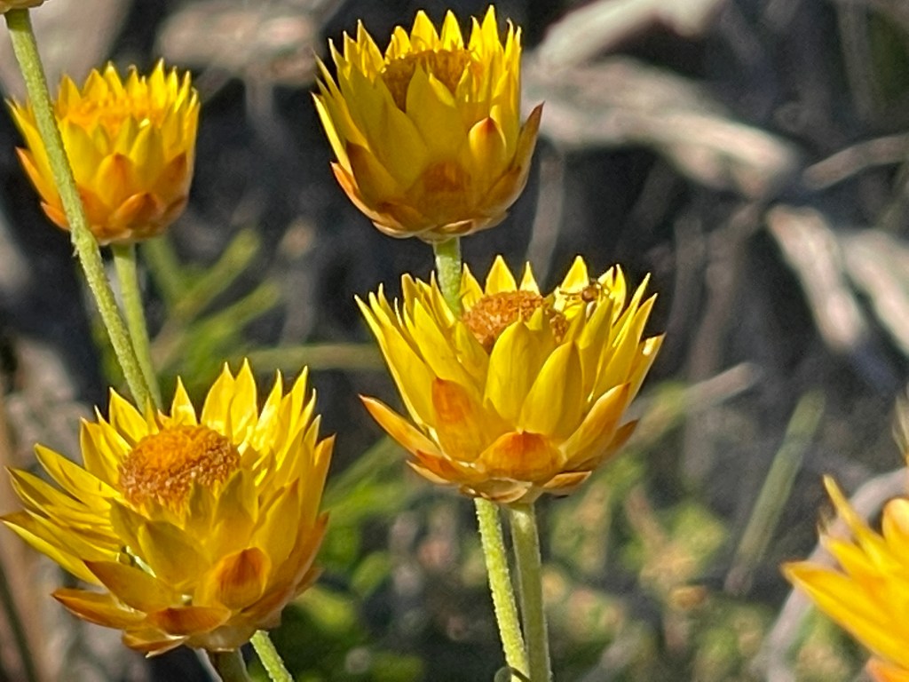
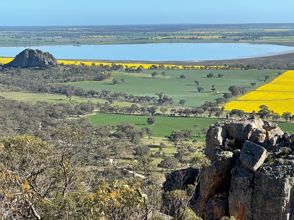
It is going to be a cracking day, with early morning sun really hitting its straps. The views are magic and the pink and yellow wildflowers just glow.
I can see why the climbers love challenging themselves in this setting.
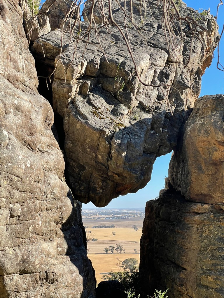
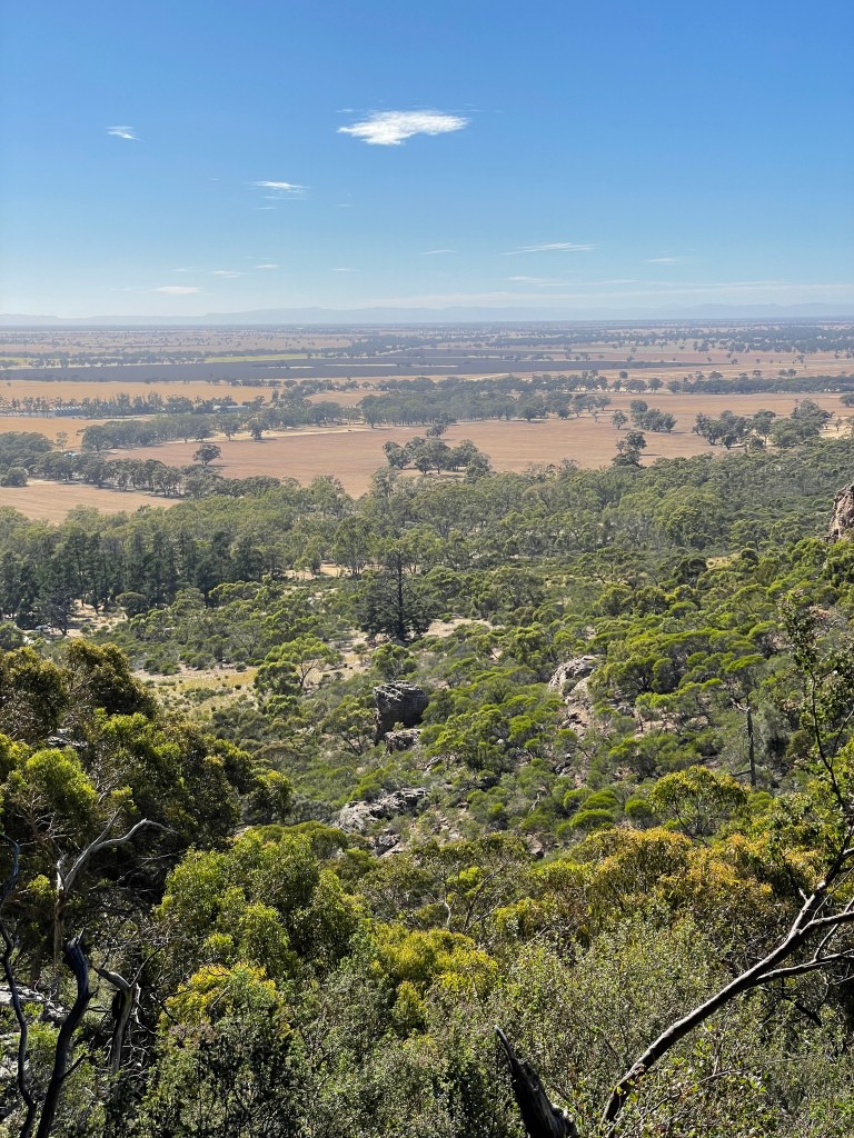
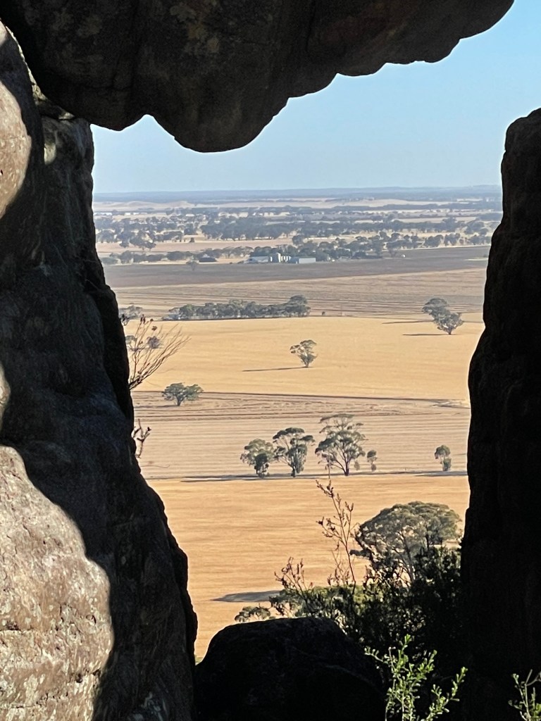
A natural window frames the straight lines of harvested flats, which are only interrupted by isolated trees or a square dam carved out of the flatness.
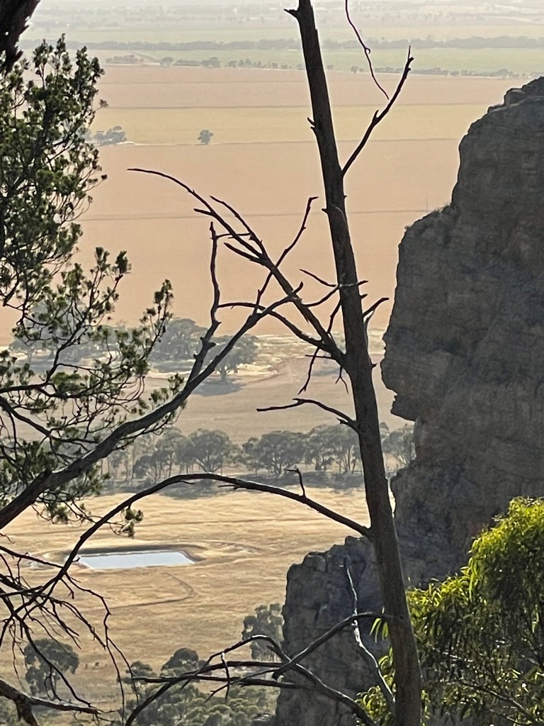
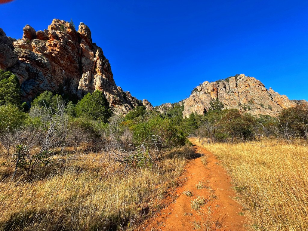
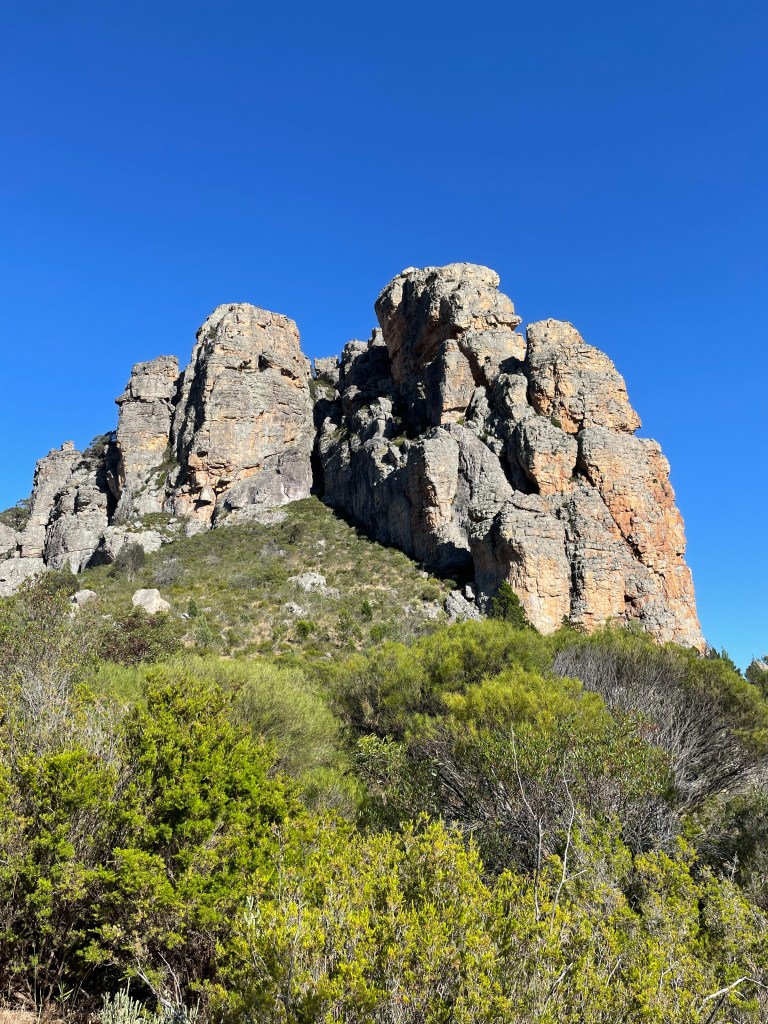
It is a steep descent but not too hard. Once back at ground level, I begin to look up. The old rocks become a tent or a pyramid, a fortress and a three-dimensional mosaic.
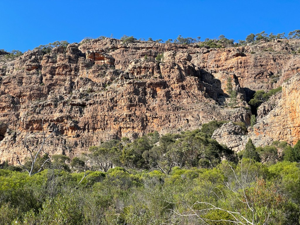
Distracted by the rich colours and textures, I completely miss the next track. But, after a circuit of the camp, Central Gully track looms and I start heading up again towards the Bluff.
It is harder going up and I stop ‘for a few looks’ along the way.

There is a shell in one rock, and I wish I knew where to find the wave marks.

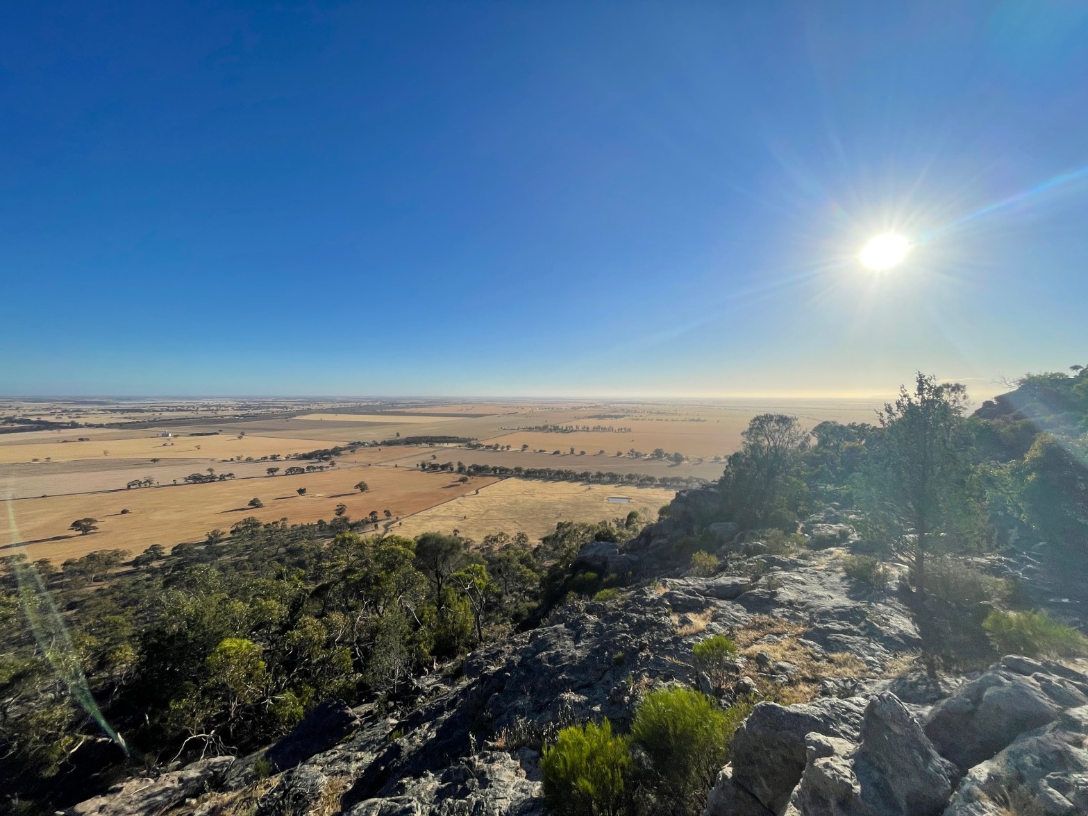
I puff a lot, I am in awe of the Gariwerd vista, and before I know it – I reach the top.
There is a quick scan east from the Bluff lookout, just a bit further along the track.
The Bluff rock summit also provides views in just about every direction. I have done a couple of sunsets here and it gives you rare views to the west.
You have to do a bit of scrambling along the the track, which is not that clear, but it is worth the effort. I’m not bluffing!
And there you have it – Dyurrite before breakfast.
Respect her, tread carefully, be mindful of her rich cultural heritage but most of all enjoy your time on this absolute, ancient rock of a place.