Where – Big Water following the Wimmera River east from Rokesky’s Road, Longerenong, and exploring just off Burnt Clay Road.
What – Two different views of the Wimmera River upstream from Horsham.
How far – Longerenong Walk – just over 1km but plenty more to explore. Big Water – 10km
10 words – Contrasts – empty stream/brimming pool; wildflowers, eucalypts, history, bulokes, calm.
We can’t finish our 52 weeks without exploring the Wimmera River, upstream of Horsham.
The first is where the Wimmera River and Yarriambiack Creek meet near Longerenong Homestead and the second is the Big Water, which has recently been upgraded for camping and better access and provides some impressive, peaceful and BIG water on the edge of Horsham.
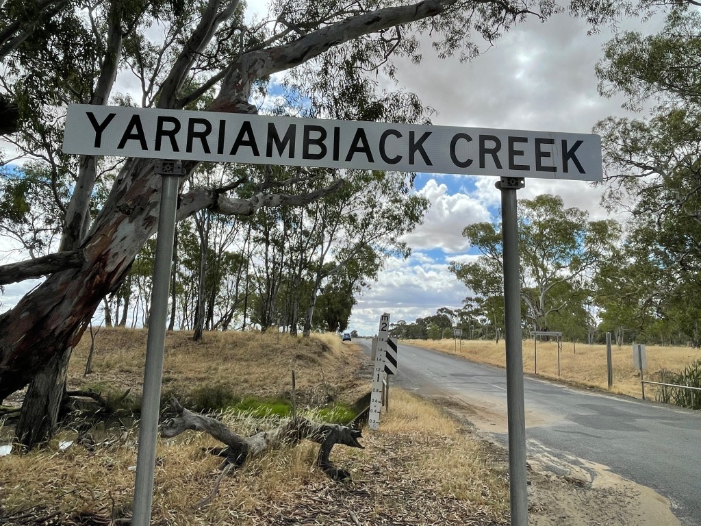
Yarriambiack and Wimmera Confluence
The day before I visit Longerong, big clouds form while I am driving east of Horsham. No rain where I am but someone must have been getting it.
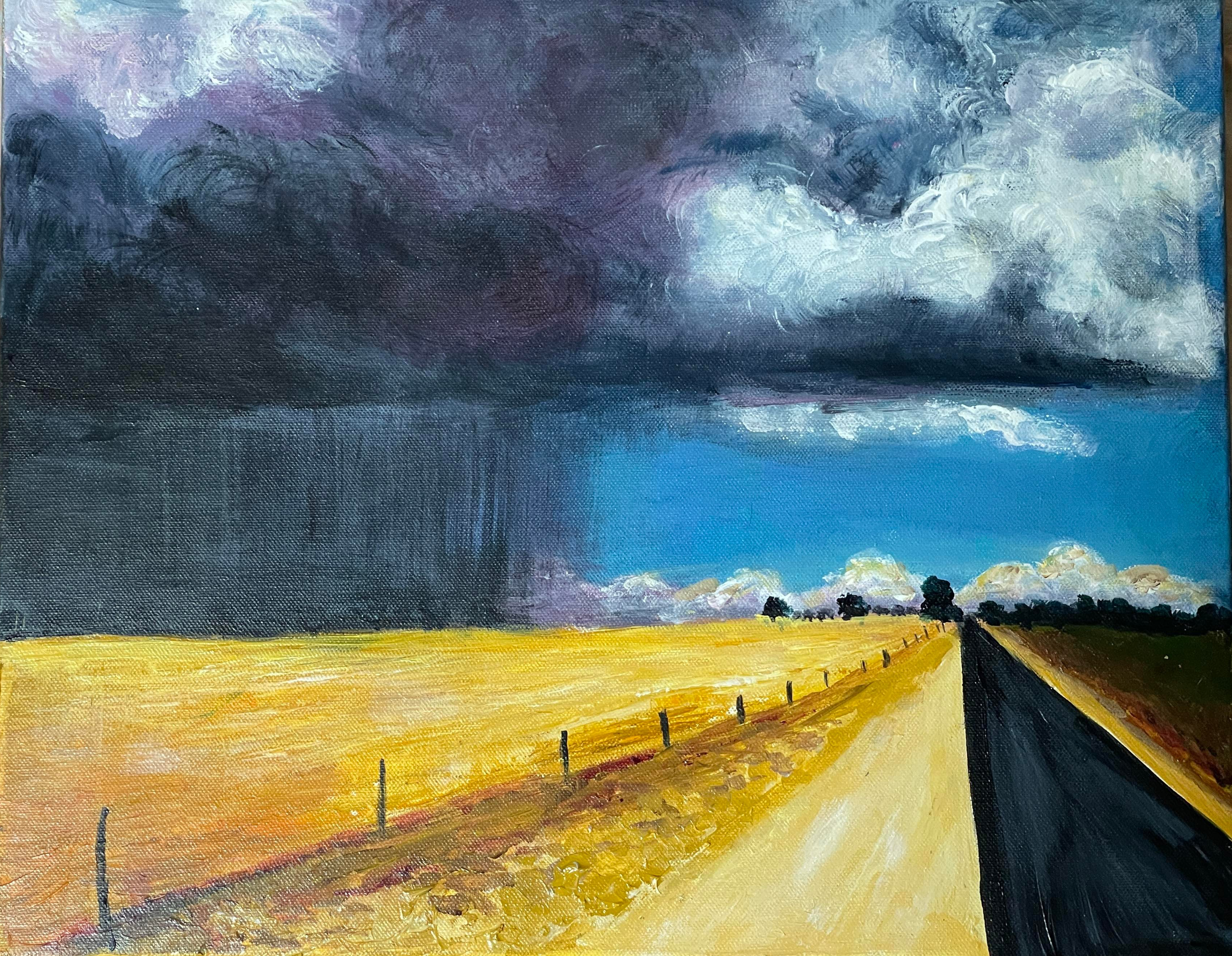
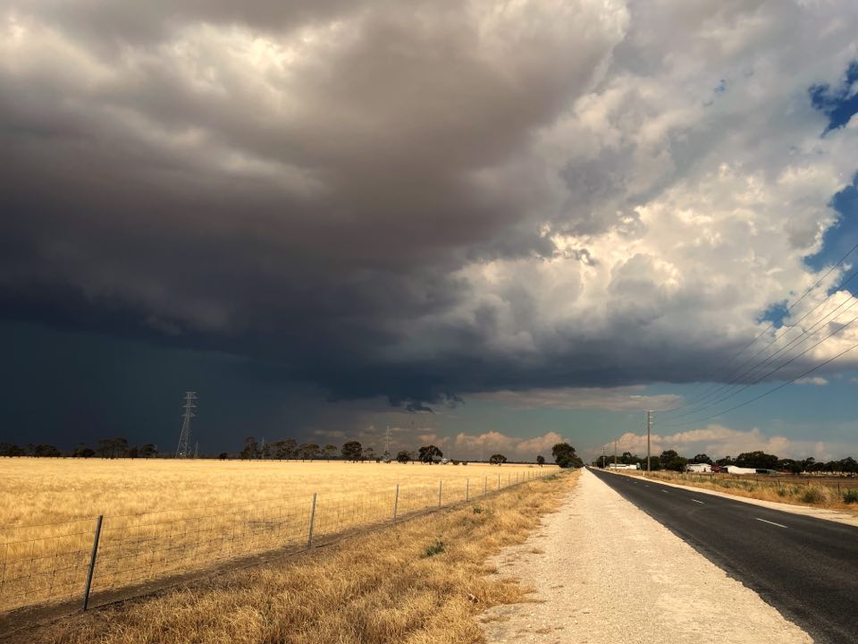
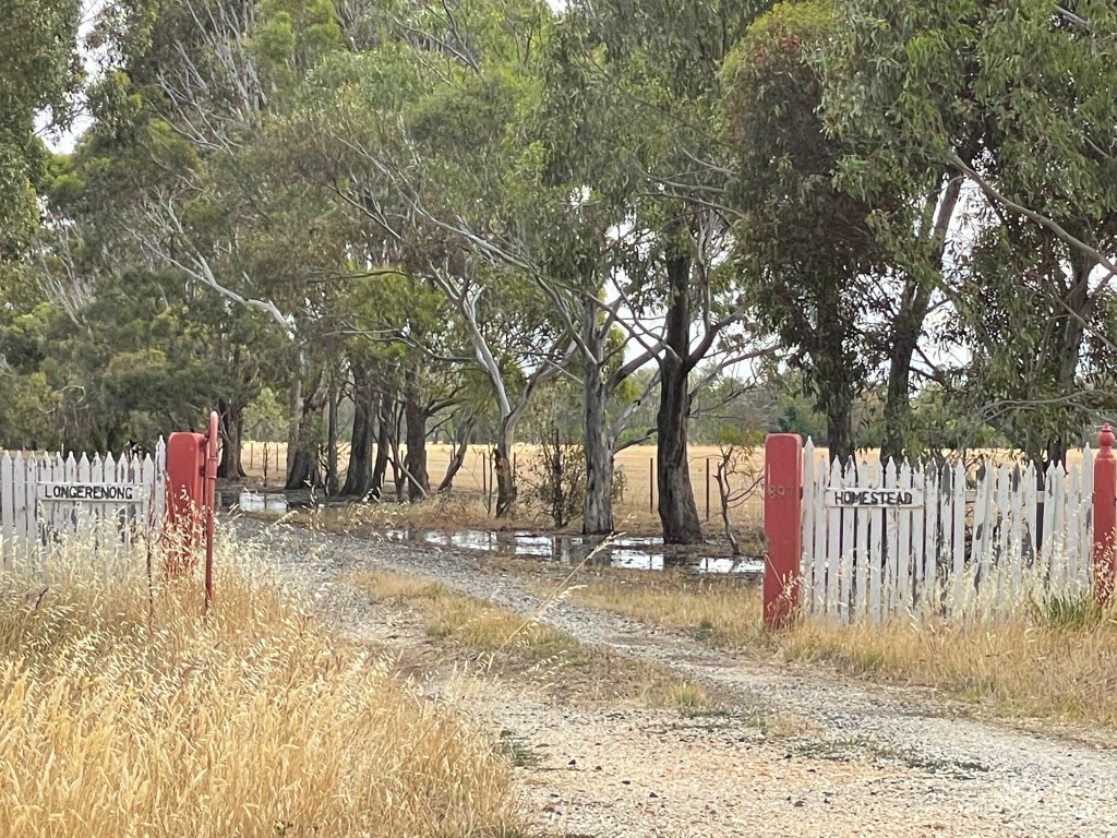
I find out exactly where it landed, as I head down Burt Clay, Longerengong. The side of the road is awash as I pass the gate to Longereong Homestead and the way to my first walk the next day.
According to Sue Devlin’s history, Longerenong’s Aboriginal meaning is parting of the waters – which makes sense as the property sits where Yarriambaick Creek splits north from the Wimmera River.
Burnt Clay Road was built by heaping logs, covering them with clay and then setting them alight. The brick surface provided a high and dry road on these riverflats.
This is a selfish trip. Great Great grandfather Willian Dalton was the manager of Longereong Station from about 1881 to 1901 and my great grandfather Alexander ‘Pop’ Dalton grew up living with his family, and the owner, William Bullivant in the homestead I just passed.
I am keen to explore the waters near where my anscestors walked, worked and played.
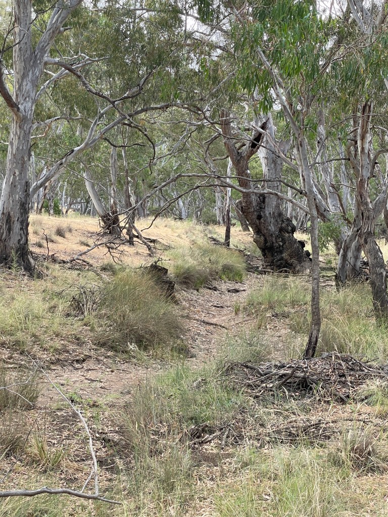
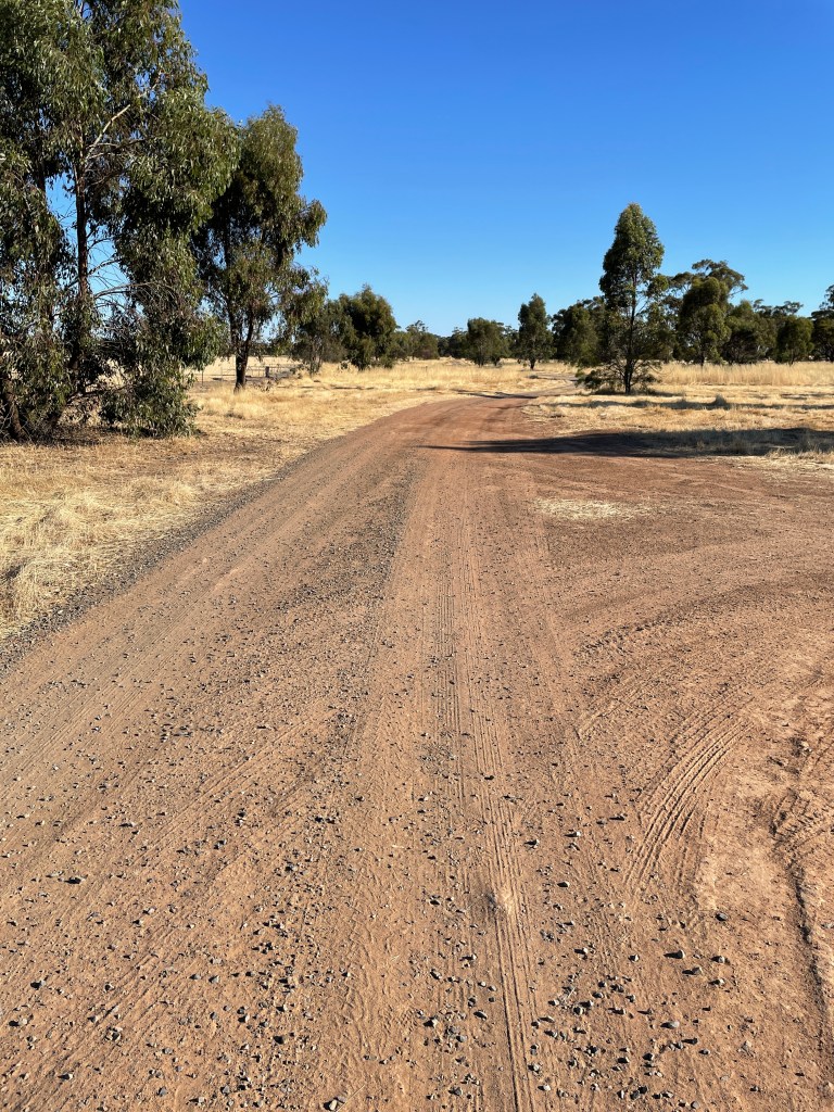
I come to some trees and park on the right hand side of the road at the bend (carefully for fear of getting bogged) and head down a track on the right hand side towards the river.
The Wimmera River seems to split in several directions here, so finding the right track and is not easy. I cross one stream which is virtually empty and then follow a track to my right. It crosses a creek at one point and then seems to come to a dead end.
Looking on Google maps, it appears I can’t get to the actual creek via tracks on this reserve. I can see Yarriambiack Creek in the distance, but getting there is troublesome.
What I do find is a place that would have been a wonderful playground for the Dalton children – and probably the Wotjobaluk Nations children before them.
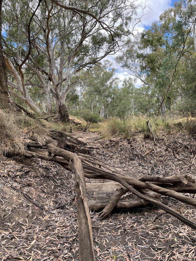
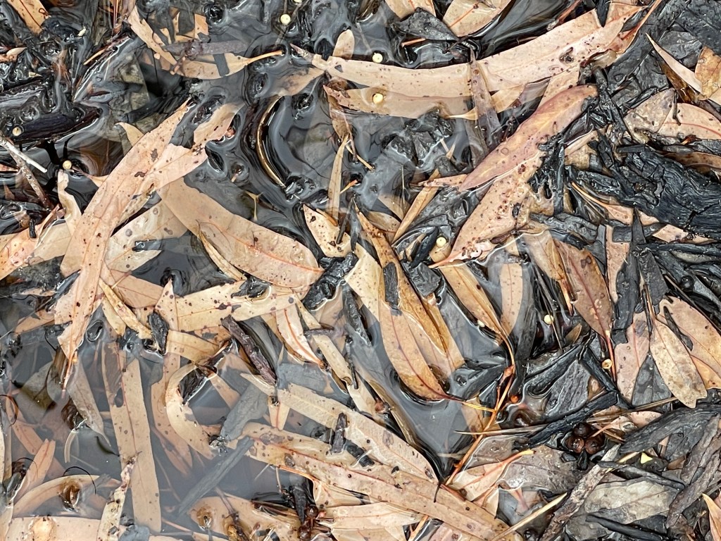
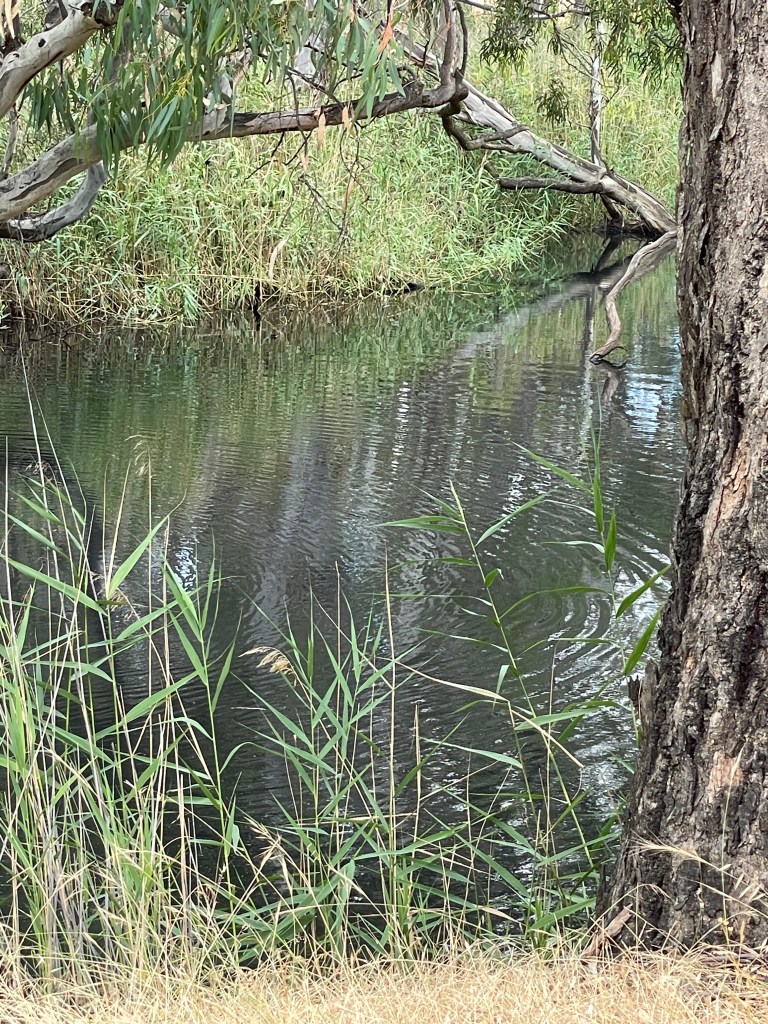
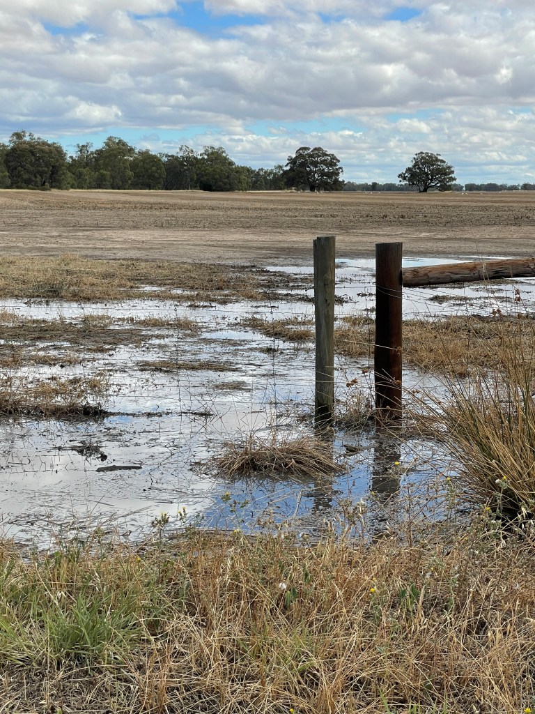
It obviously gets a lot of water when the river floods but today there are pools but not a lot of water where I am walking.
The Yarriabiack – a distributory – flows when the Wimmera gets full. It would be pretty wet around here for that to happen. Sue Devlin’s book taklks about not being able to cross the creek for months at a time in wet years.
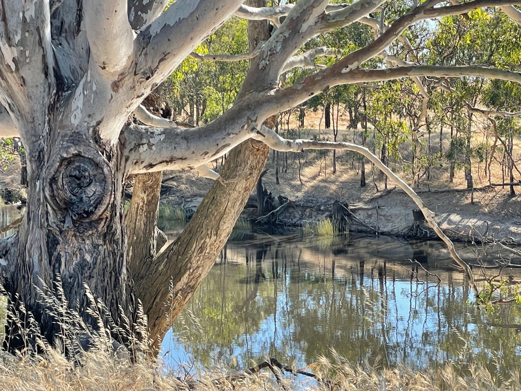
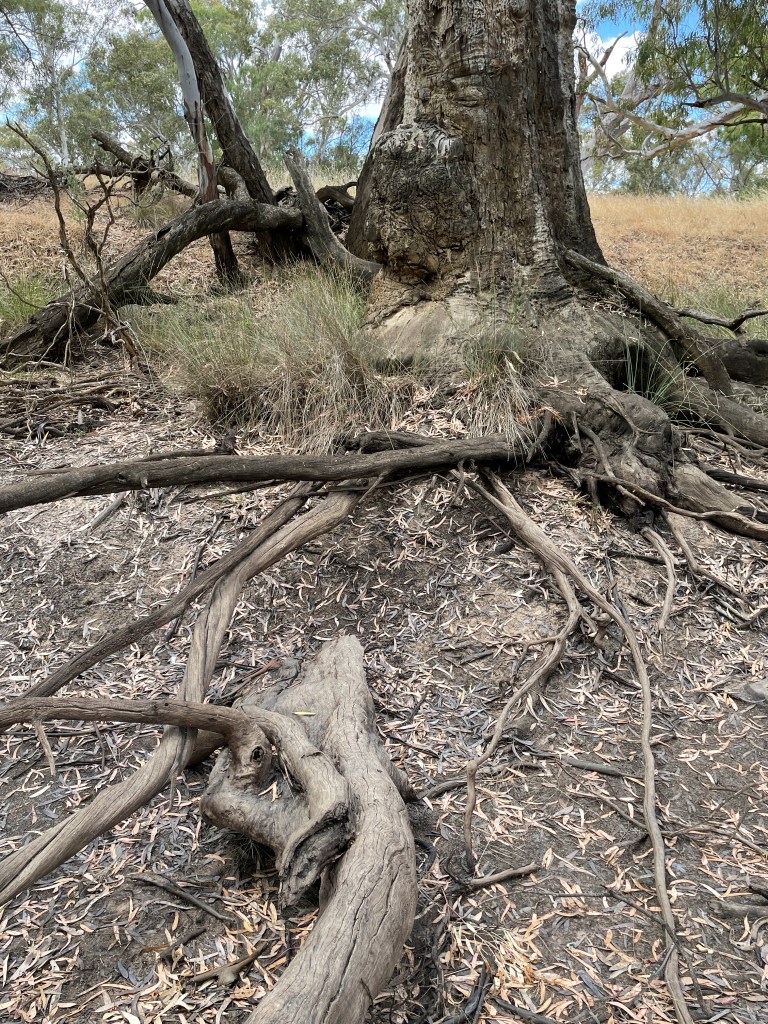
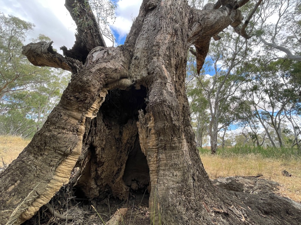
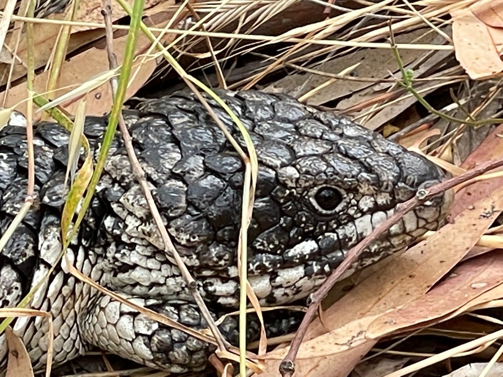
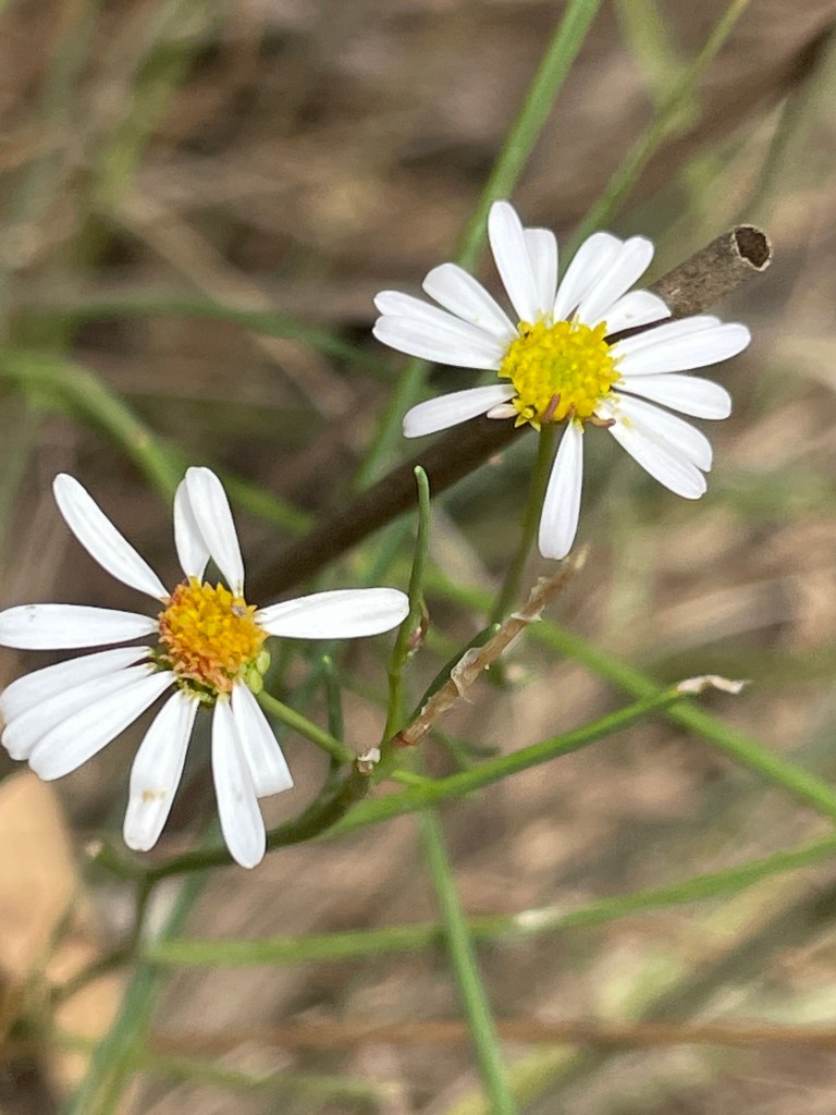
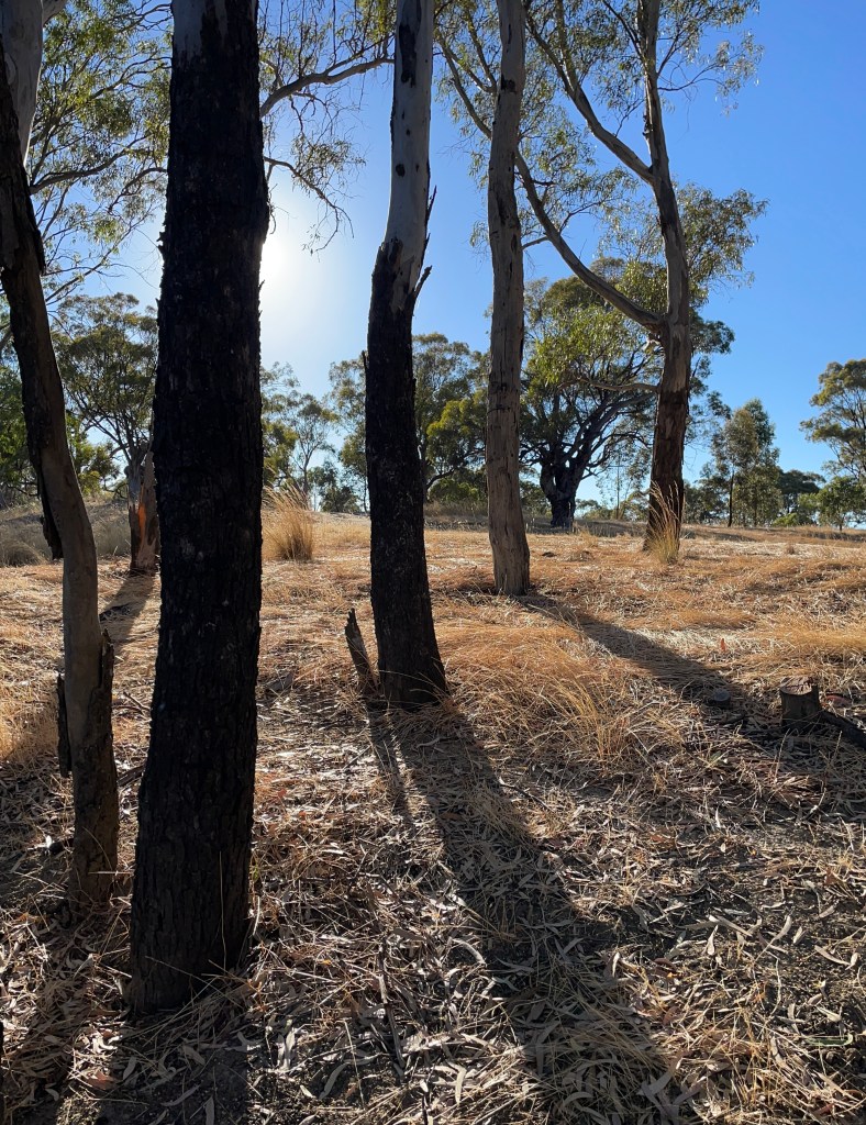
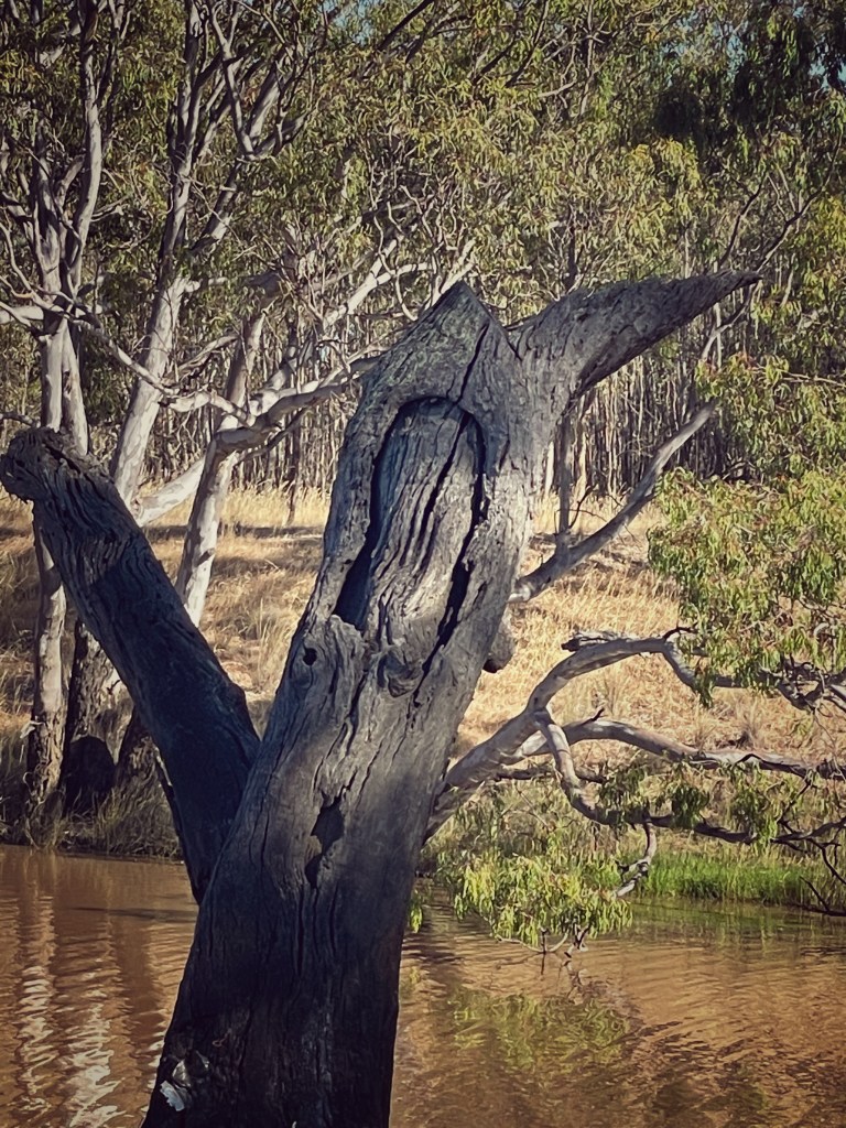
I find a big scar tree, native flowers, and a stumpy tail lizard.

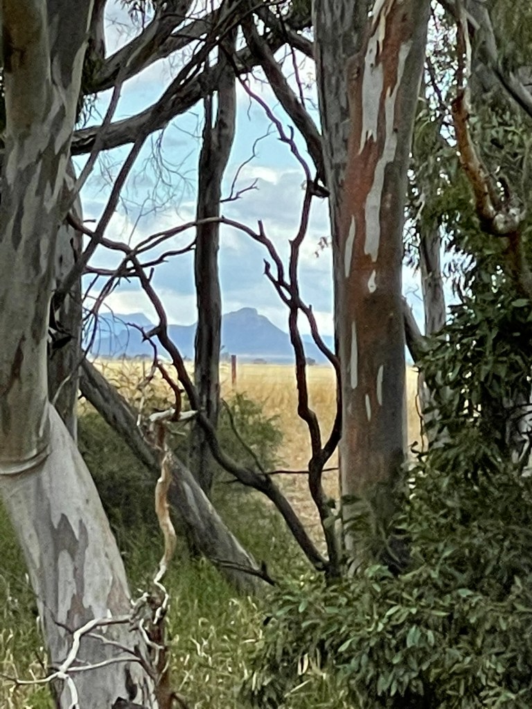
I walk in the dry creek bed among the huge roots of ancient trees, enjoy snippets of the Grampians -Gariwerd through the gaps in the bush and feel as if I am kilometres away from the rest of the world.
I wonder if the Dalton children came here to swim when the Yarriambiack was dry. I wonder if they got their water from down here. Maybe it was considered dangerous and out of bounds too?.
Today I know the Yarriambiack is out of bounds for this Dalton.
I head back along Burnt Clay road and stop and look at the Yarriambiack Creek on Longerenong Road. It has a bit of water due to the recent rain. It is a nice spot and I like to imagine Pop and his siblings fishing here in the good years.
How could you live so close to such playgrounds and not investigate.
BIG water
Today we shift from big rains to Big Water.
This is a gem which has recently been given improved access through work of the Wimmera catchment Management Authority.
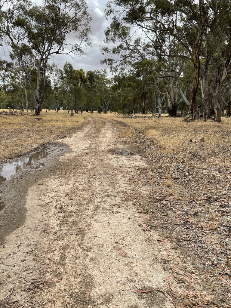
I head to Riverside road, cross the Wimmera River Bridge and immediately turn left into Heards Road, from here I follow the road around until a sharp right hand turn into Rokesky’s Road. Slow right down and carefully turn left down the dirt track to the river.
This takes you along the Wimmera to Big Water.
Nestled along this dusty trail are a series of places to fish, camp or just contemplate under one of many trees.
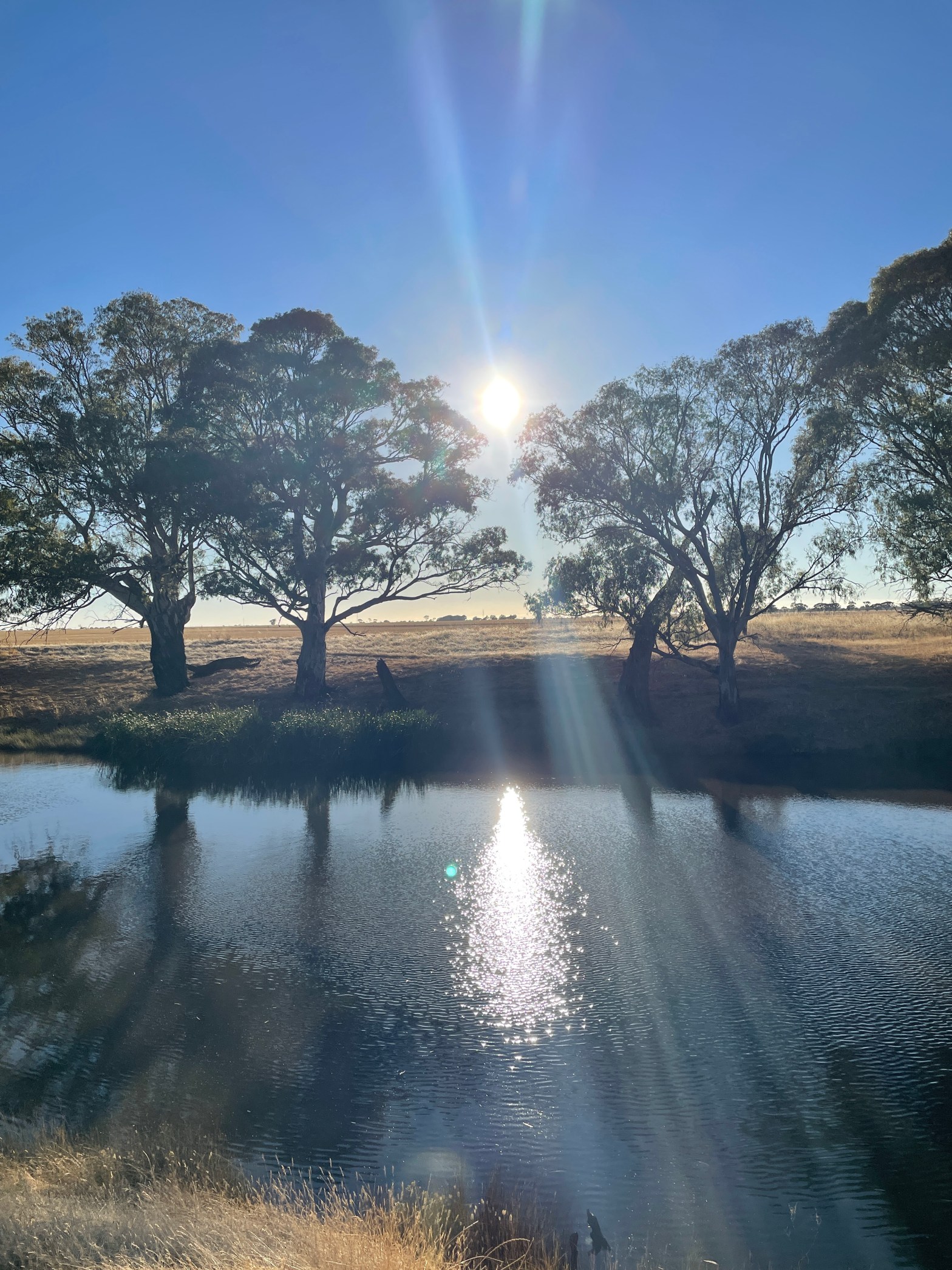
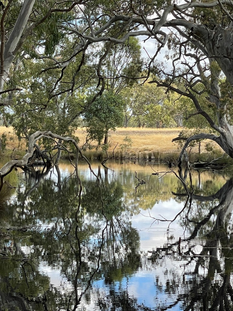
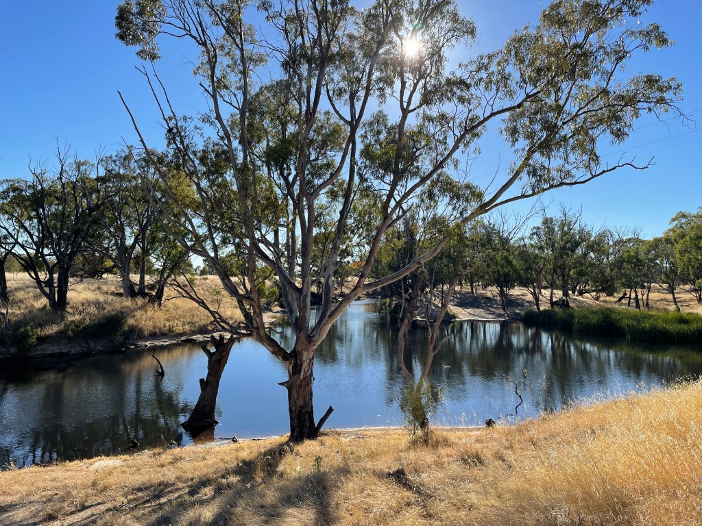
My early morning shadows are long the colours brilliant as the Wimmera and the world wakes.

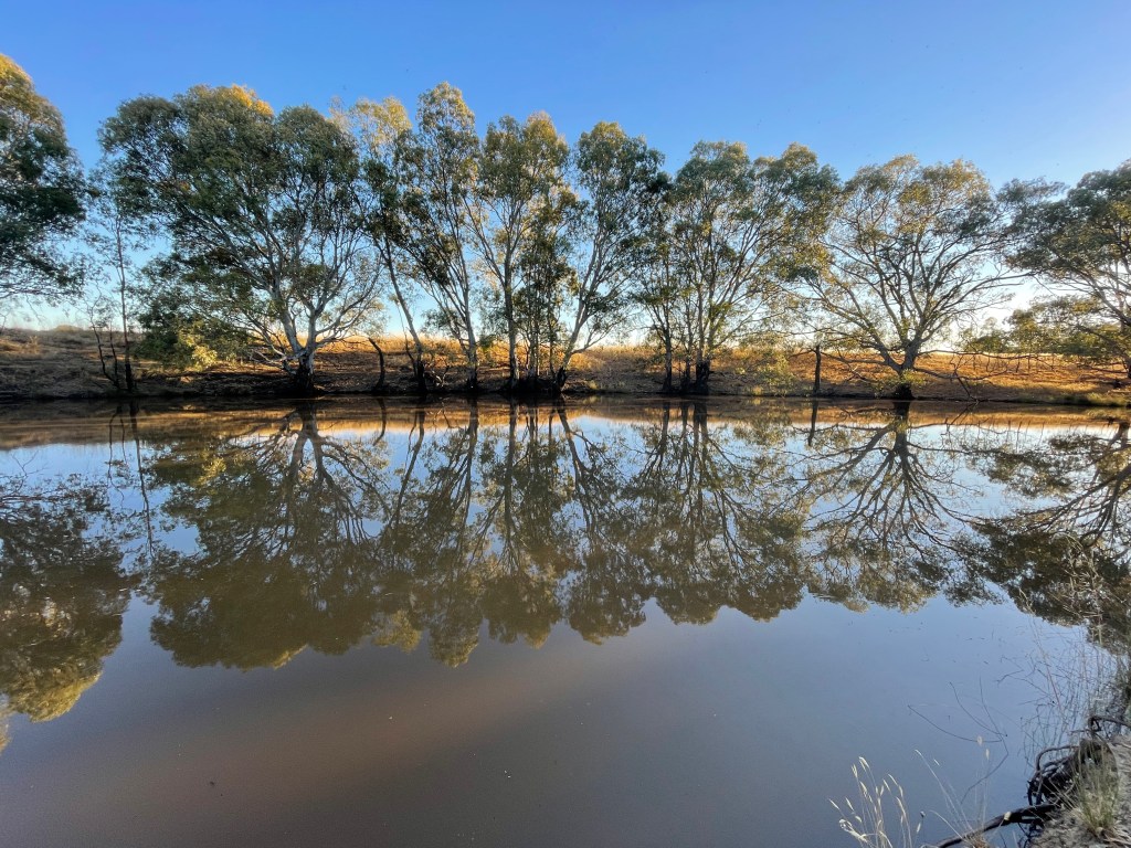
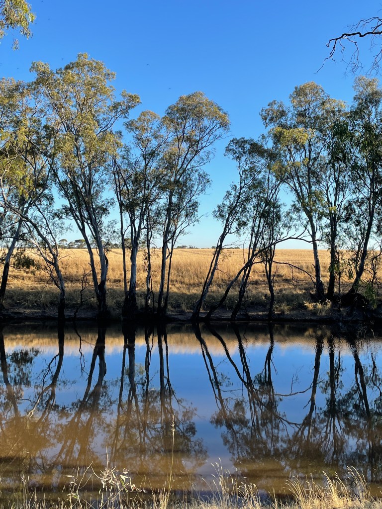
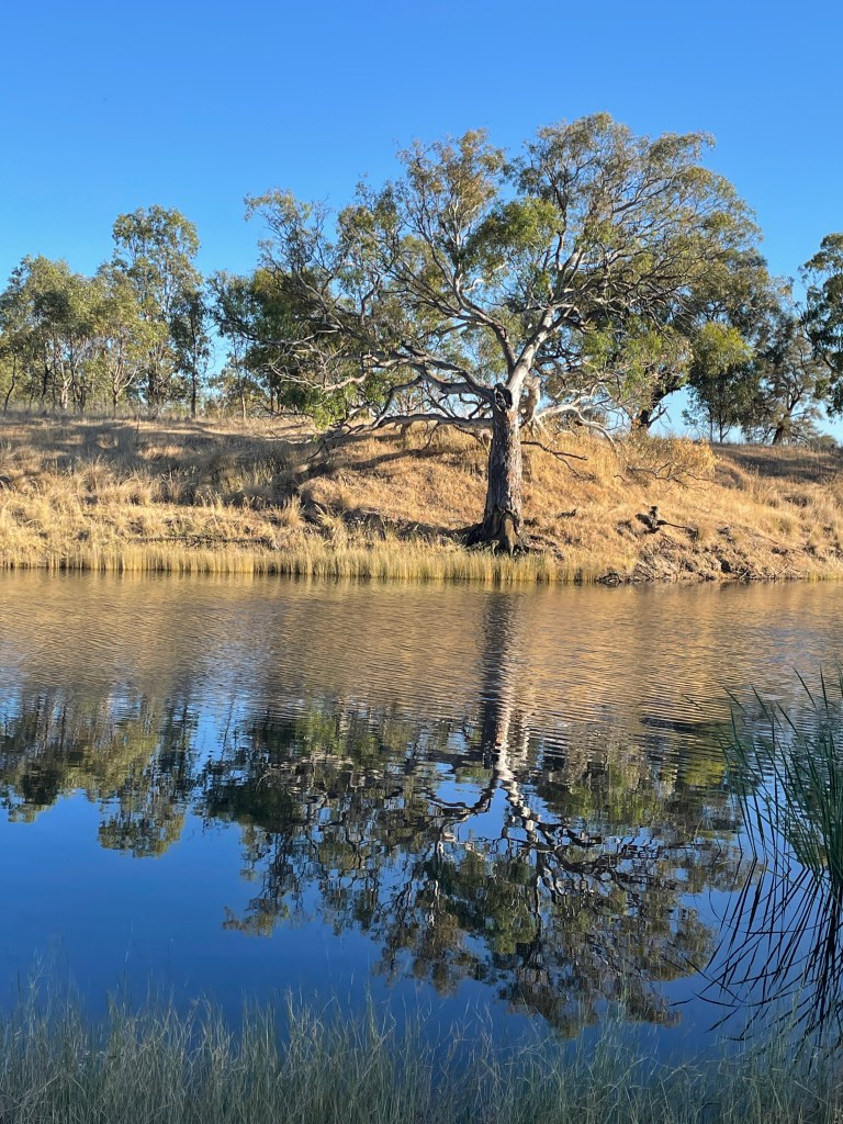
Still, blue skies make for mirror perfect reflections on wide, still river.
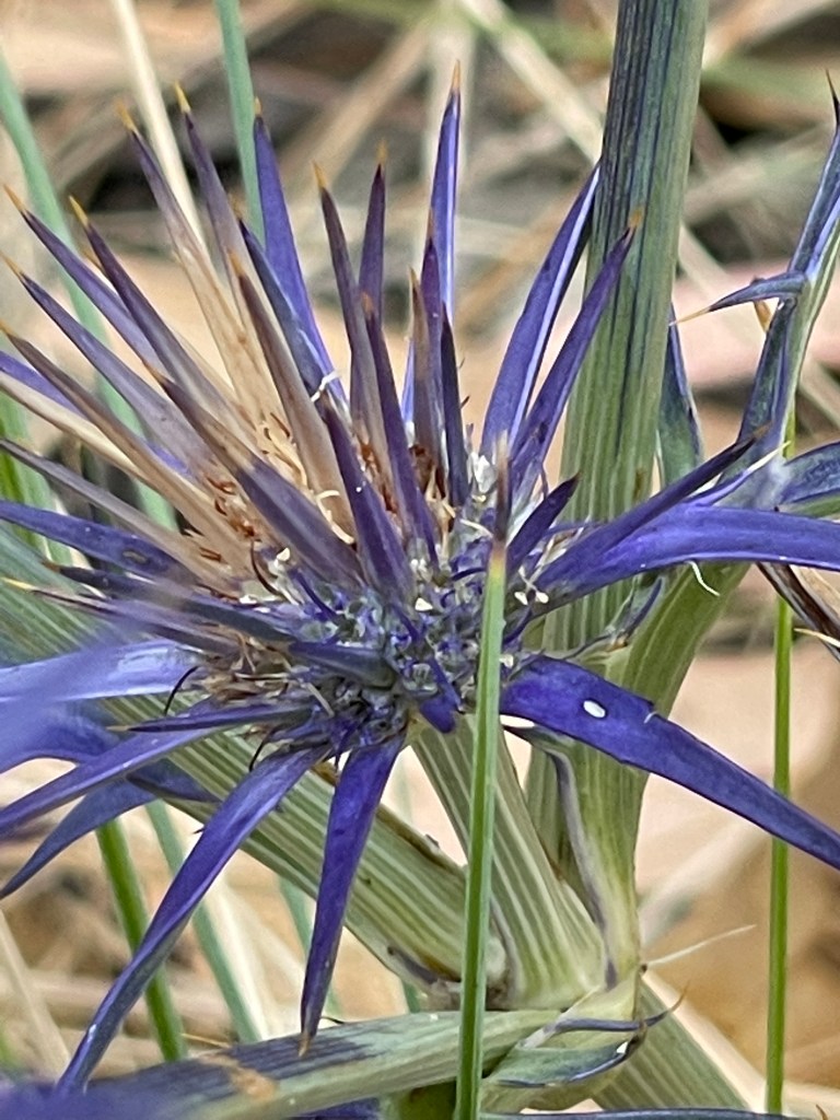
There are an abundance of blue devil flowers and – to my initial shock – a dead snake on the road.

One area’s thick with skinny young saplings – possibly a result of the 2010 flood – and across the water relatives from an earlier good year line the bank.
Golden Billy buttons glow in the sun which also provides dramatic shadows.
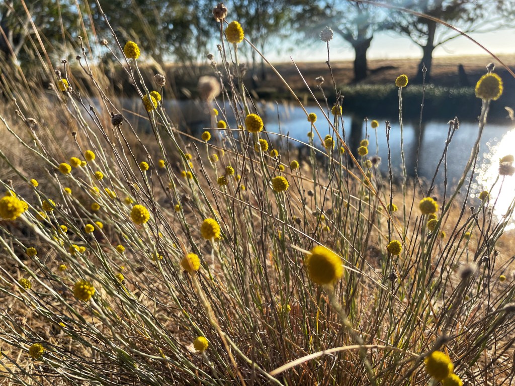
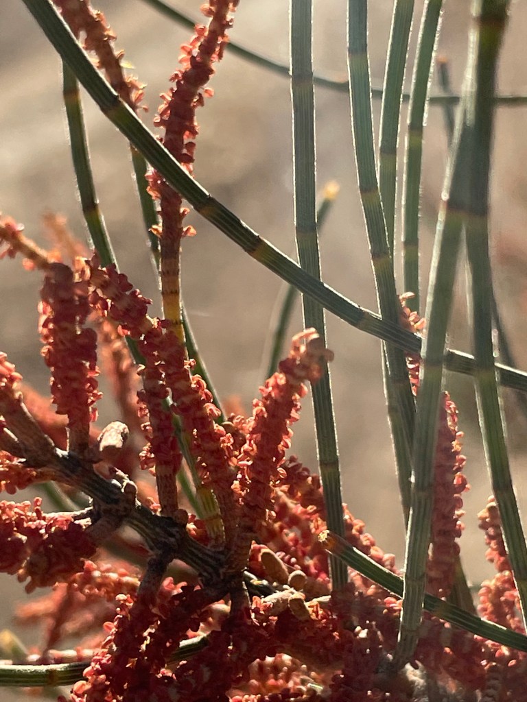
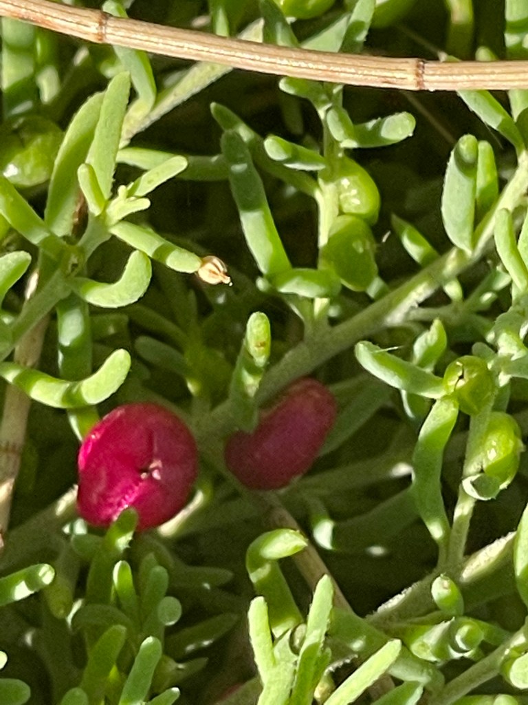
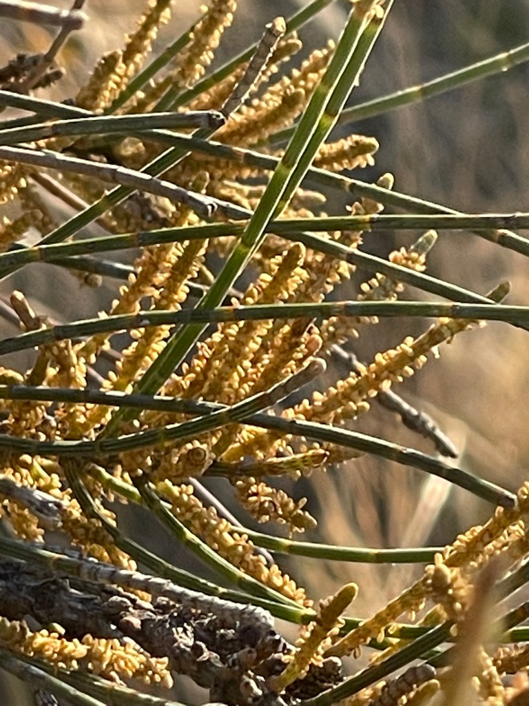
A stand of bullokes, thick with yellow and red seeds, sing despite the stillness and provide the perfect host for ruby salt bush.
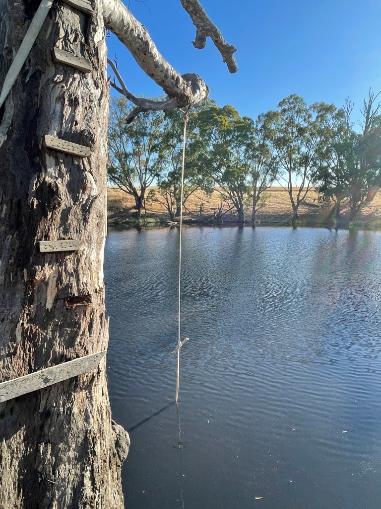
The winding river provides many big pools, including one featuring a rope swing, platform and ladder.
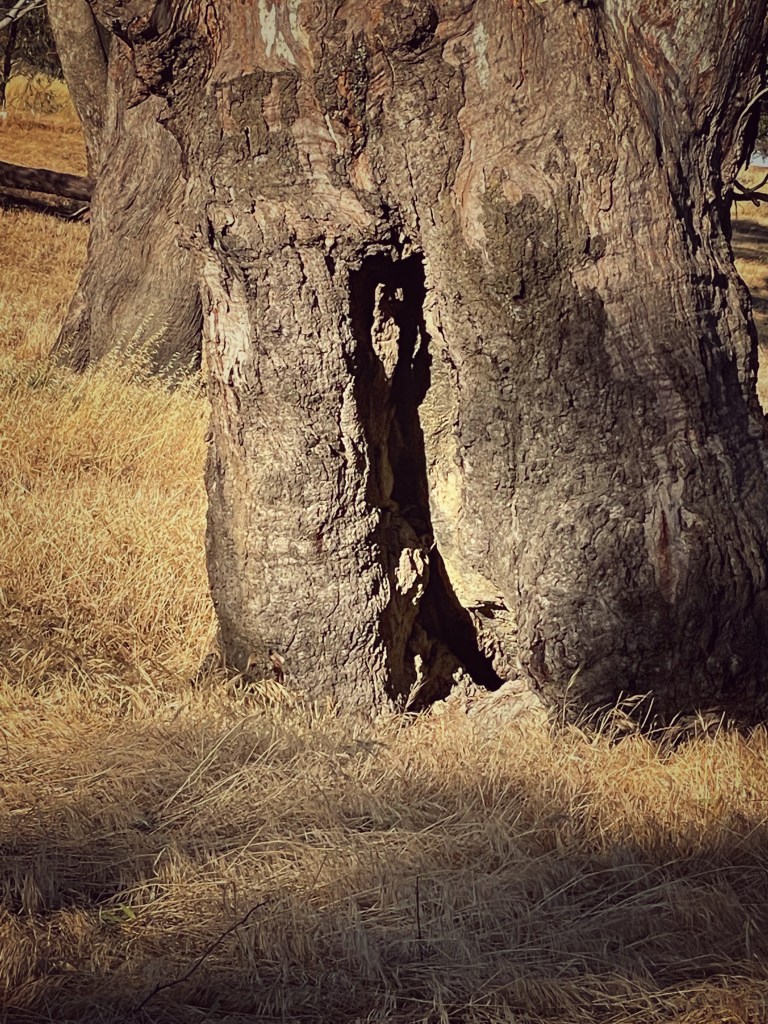
I wonder if it was always this big or it got bigger when weirs went in at Dooen and then in Horsham. Some trees seem to be scarred, which suggests they predate white settlement so maybe this has always been this way.
I reach the other entrace to this area – at School Road and then turn around and return via the main track to my car. Only one area is being used by campers and for the rest of the journey it is me, the river and the birds.
Such a great journey and next time I will bring my bathers and test the water.
