Week 42 – Gariwerd on the rocks

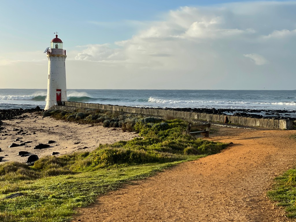
What – Three short walks Wallaby Rocks, Paddy Castle and Burrong Falls

Where – North Central Grampians/Zumsteins areas via Roses Creek Road, Wallaby Rocks Track and Lodge Road. (Maps required and 4wd advised on Wallaby Rocks Track)

How far – About 2km walking but considerable driving in between

In 10 words – Explore, climb, wildflowers aplenty, water, diverse rocks, imagination runs wild

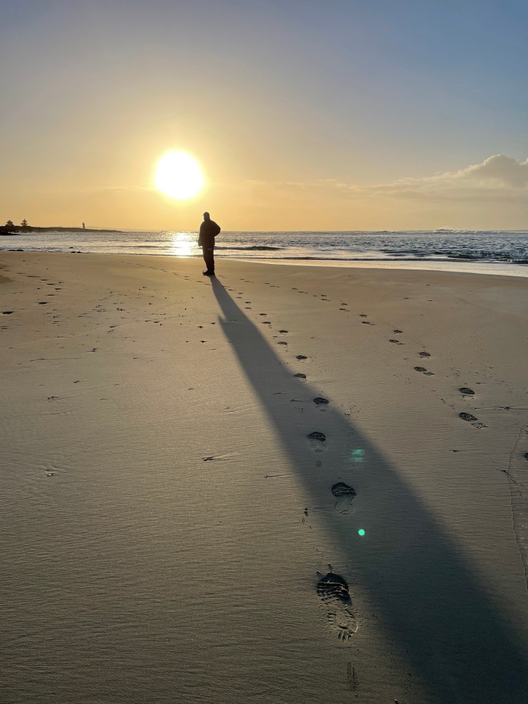
You could spend a year doing walks in Gariwerd and still not find them all.

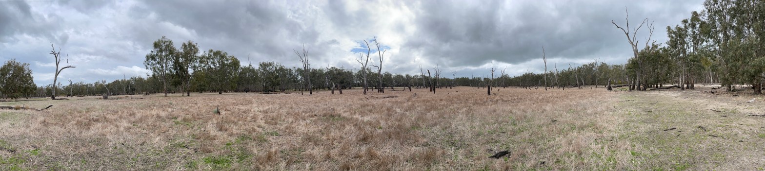
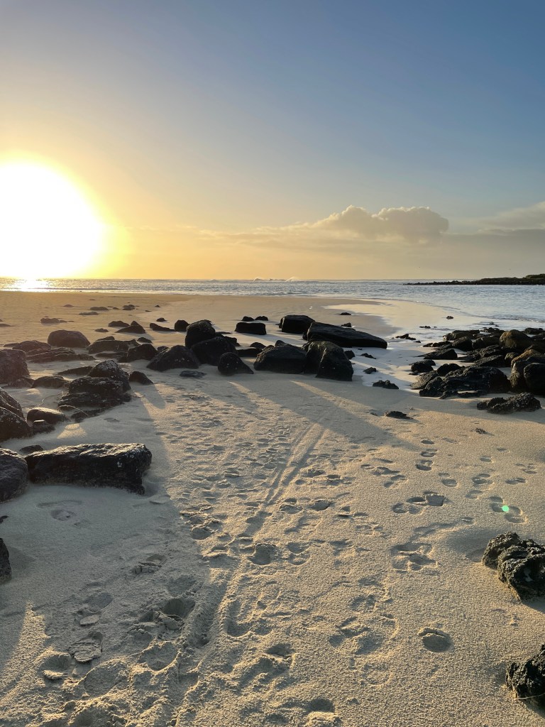
As the Peaks Trail prepares to officially open, we take you away from the big name attractions to a few short walks and tracks.  This was done over two visits in the Zumsteins, Assess Ears and Roses Creek areas and involved some four-wheel driving – principally on Wallaby Rocks Track.

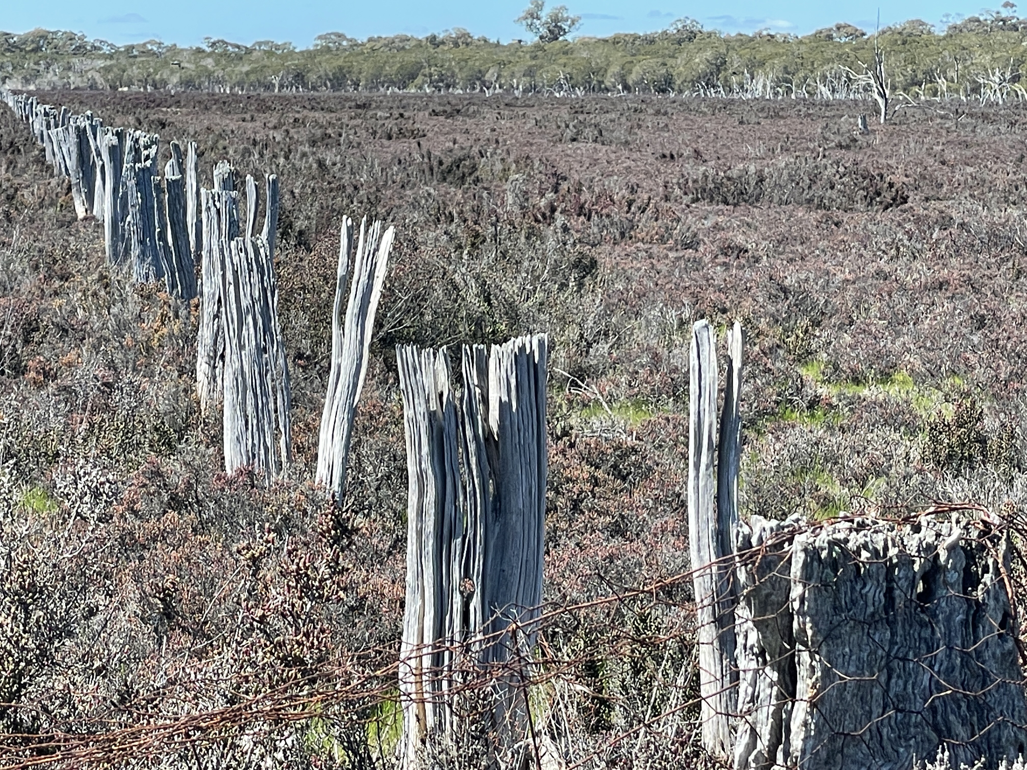
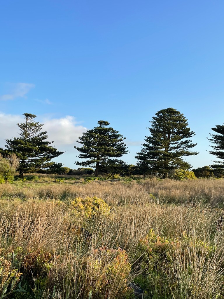
We start our drive on Roses Creek Road which off the Mt Victory Road, about 1.5km after the turn off to Lake Wartook and McKenzie Falls.

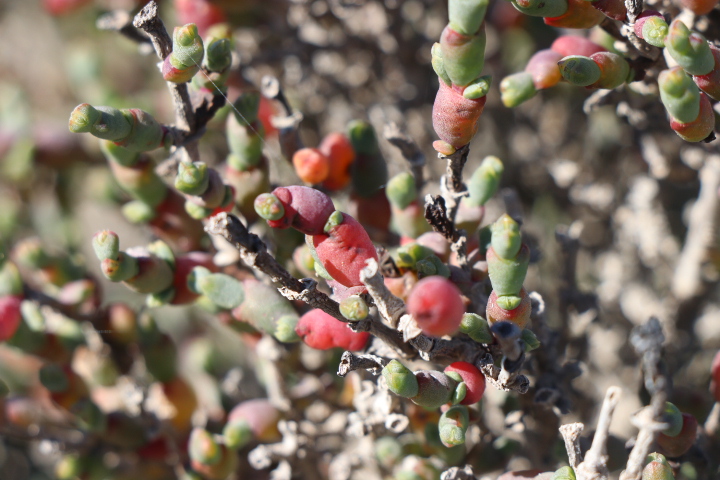
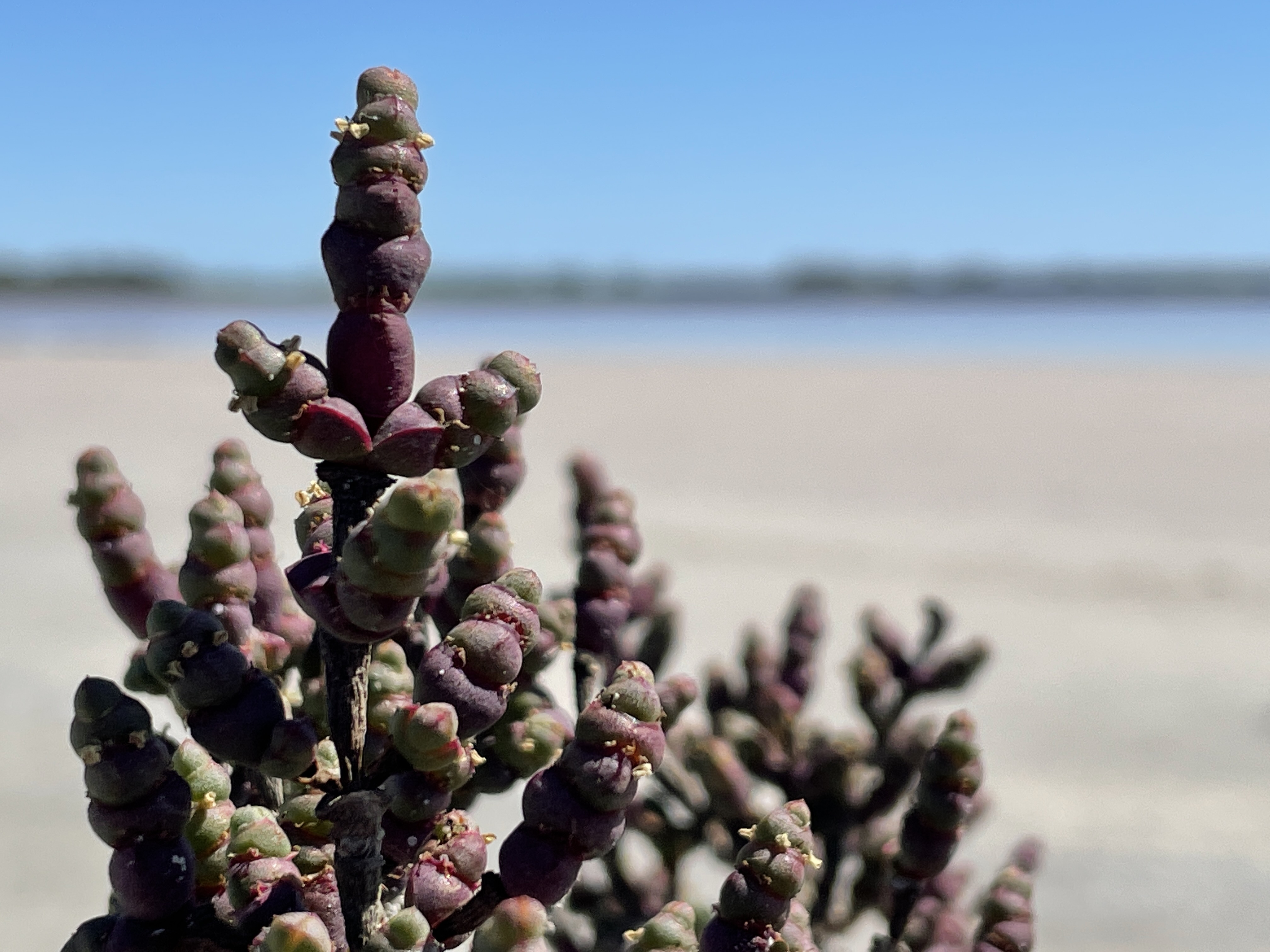
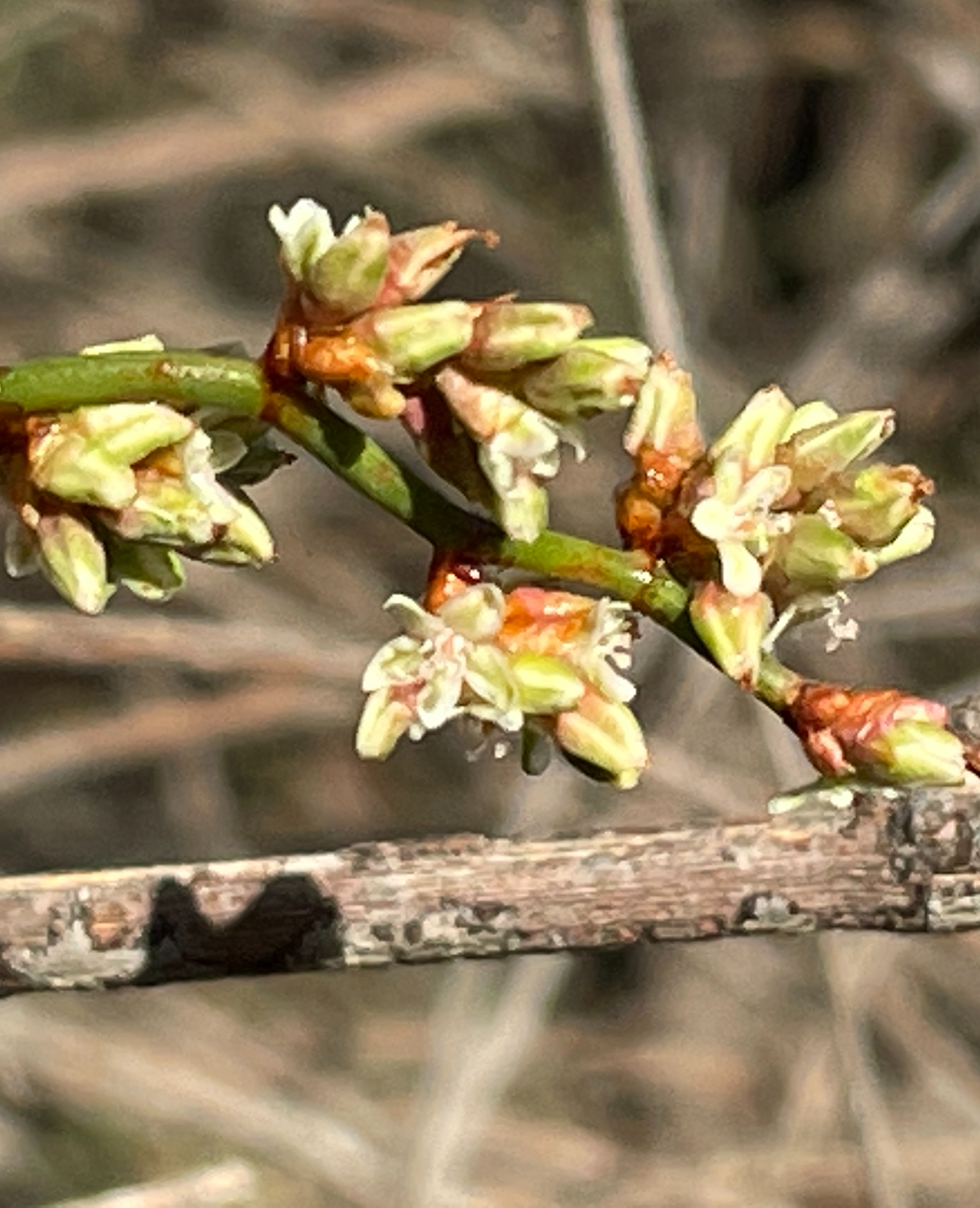
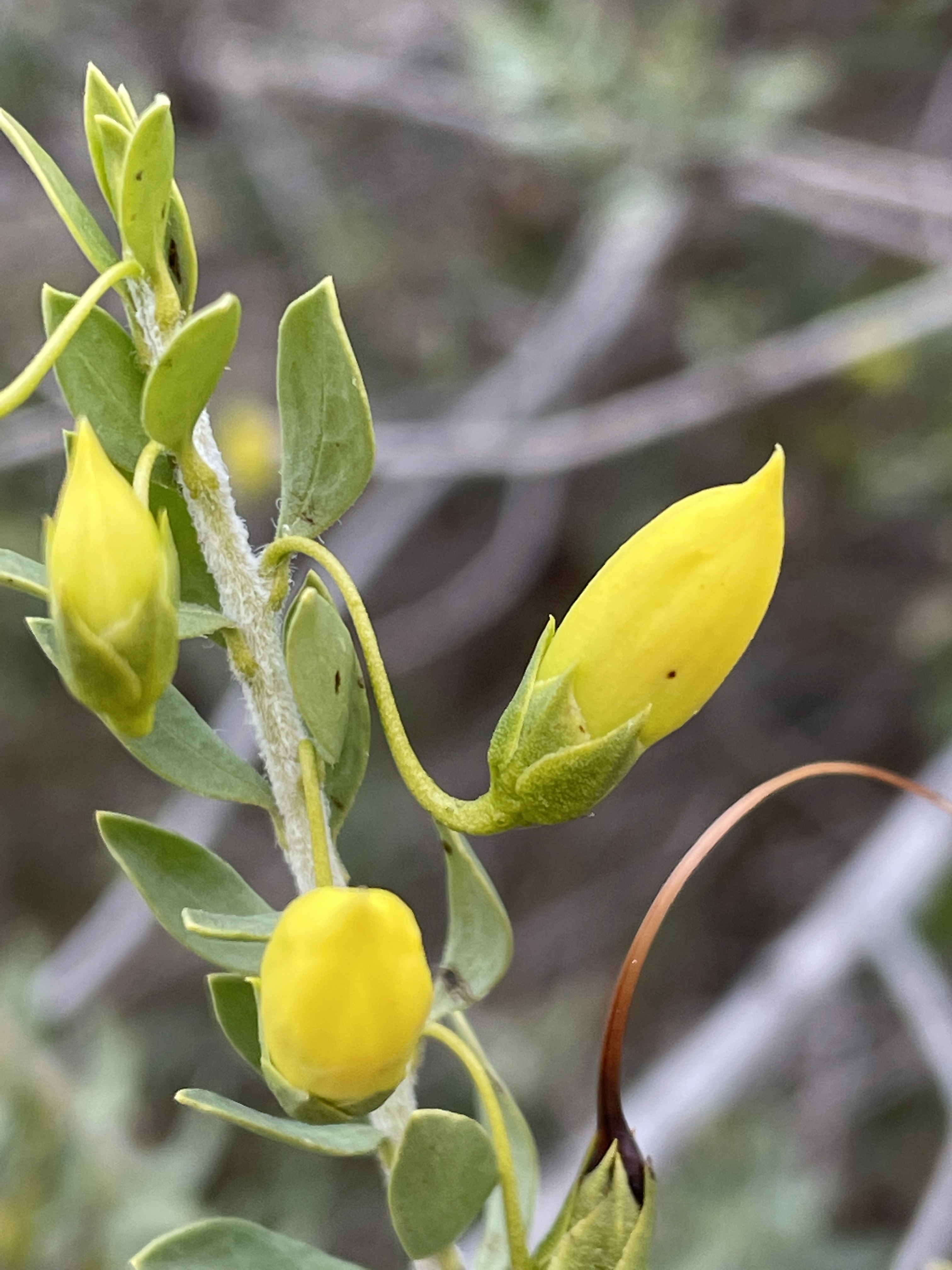
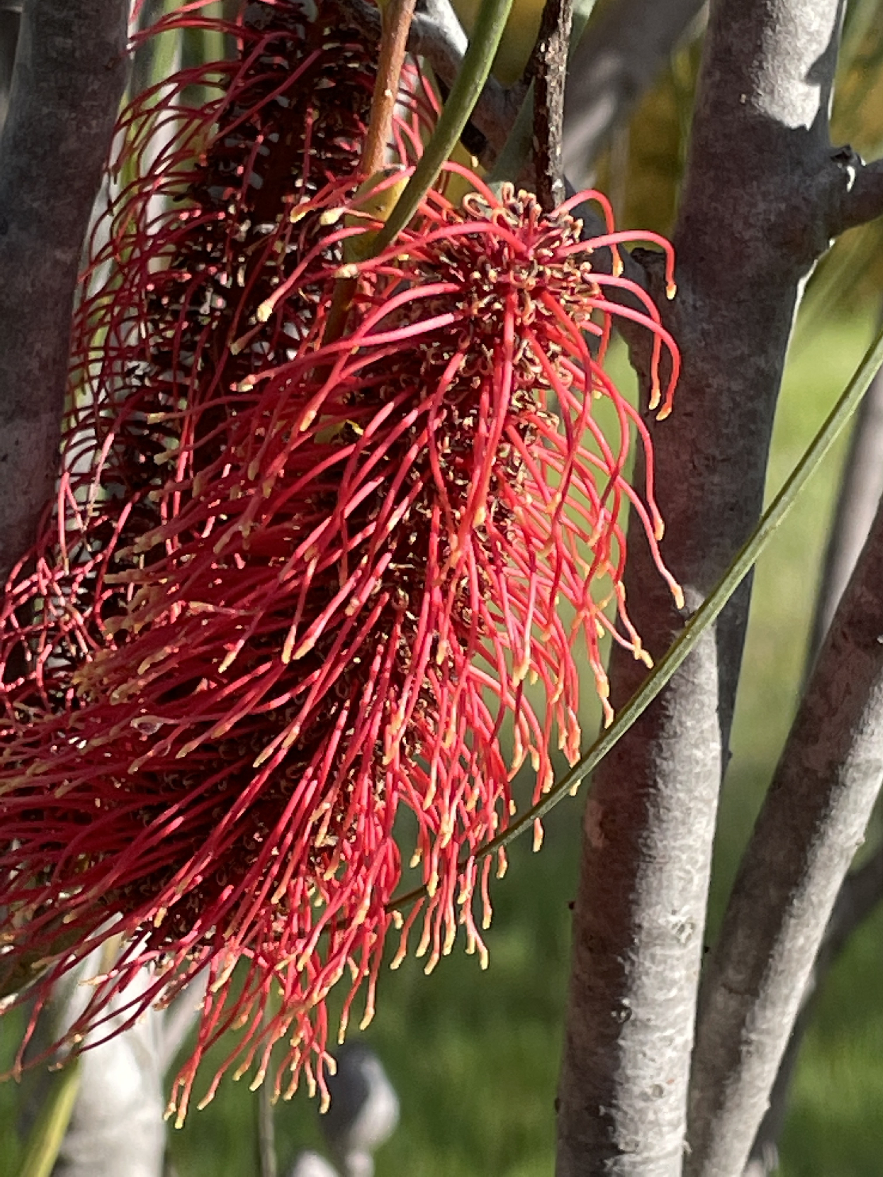
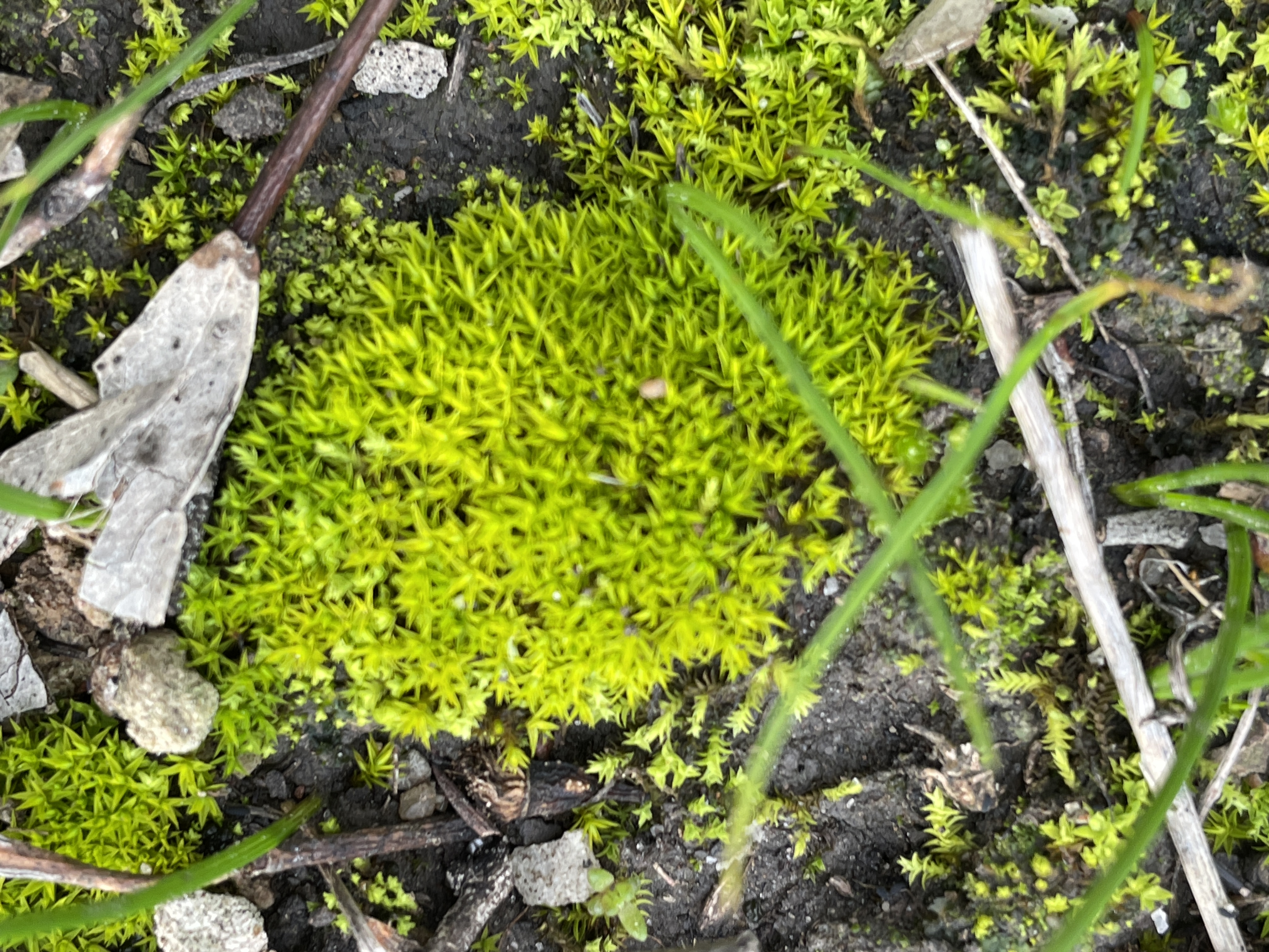
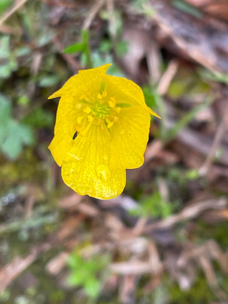
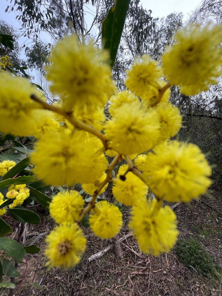
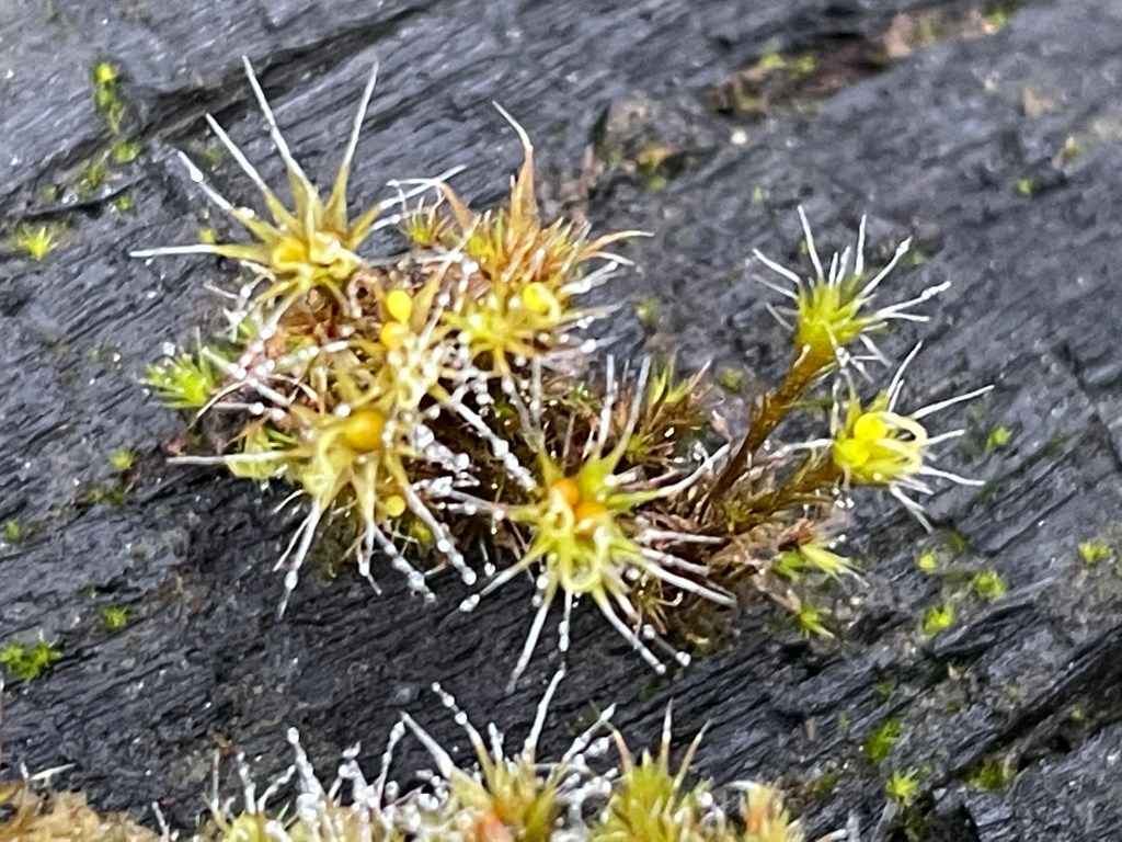
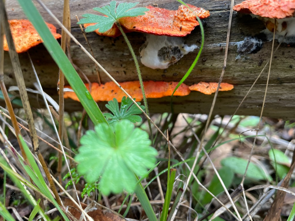
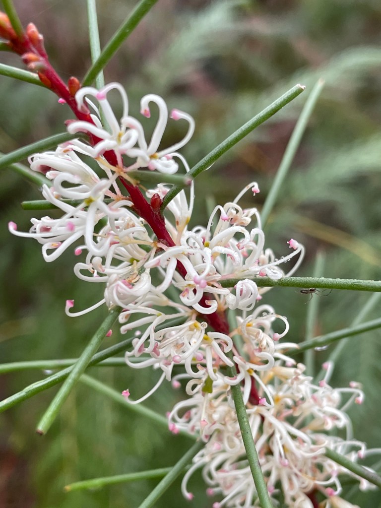
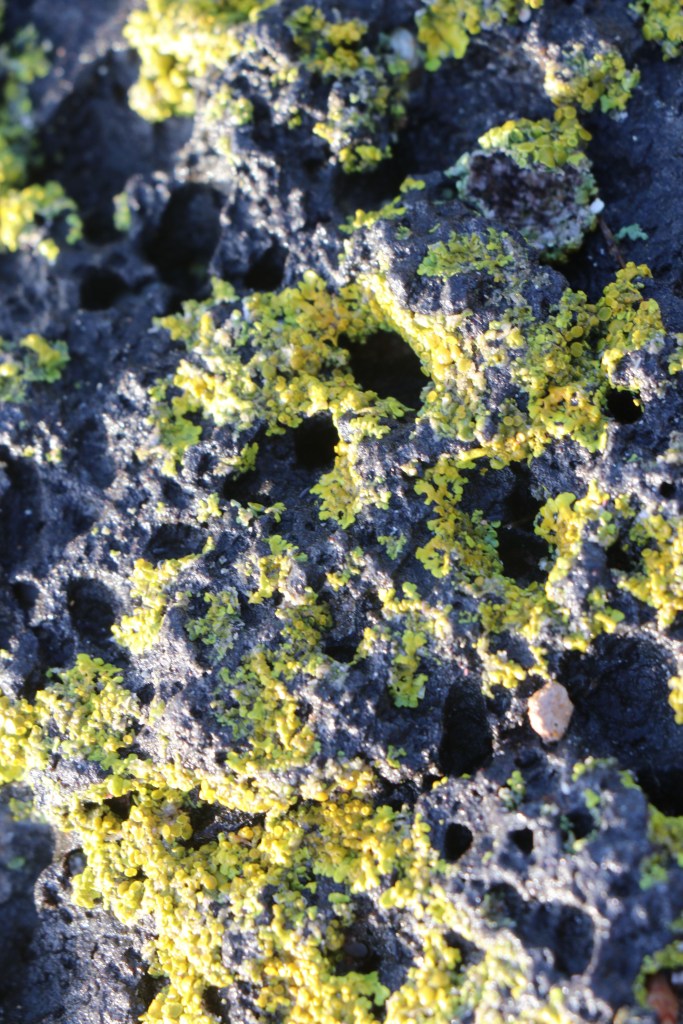
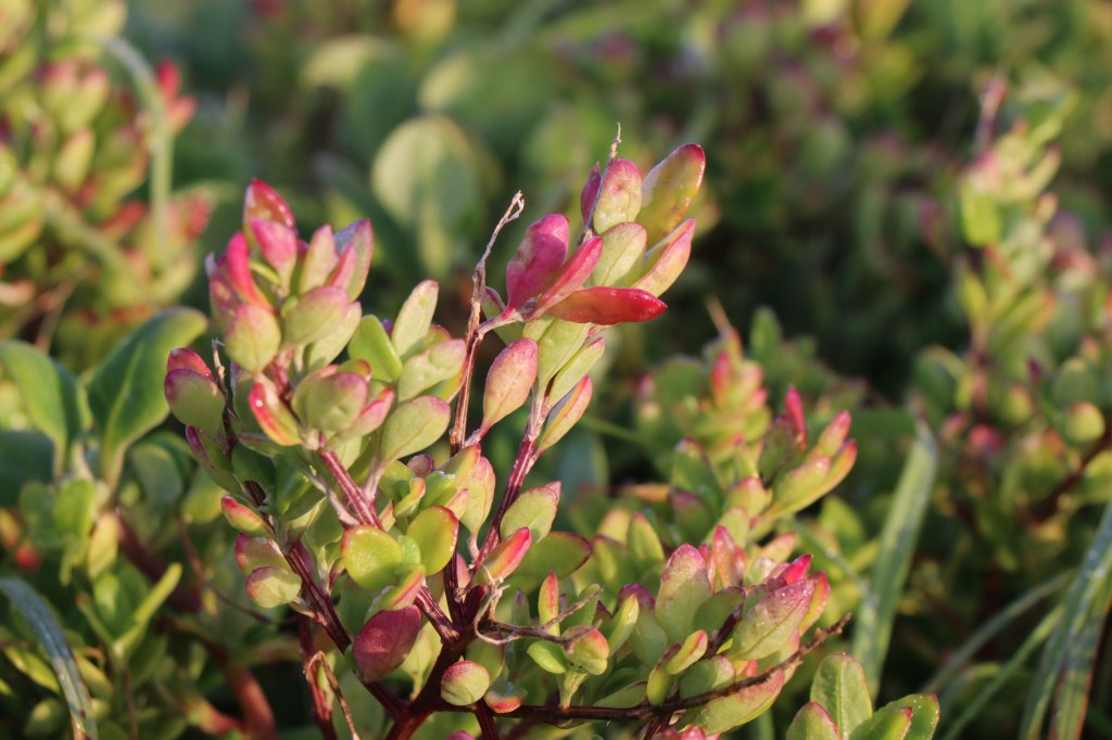
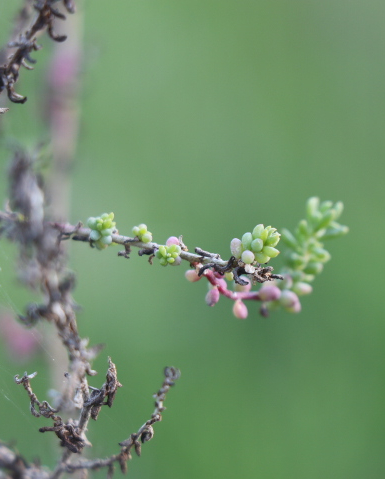
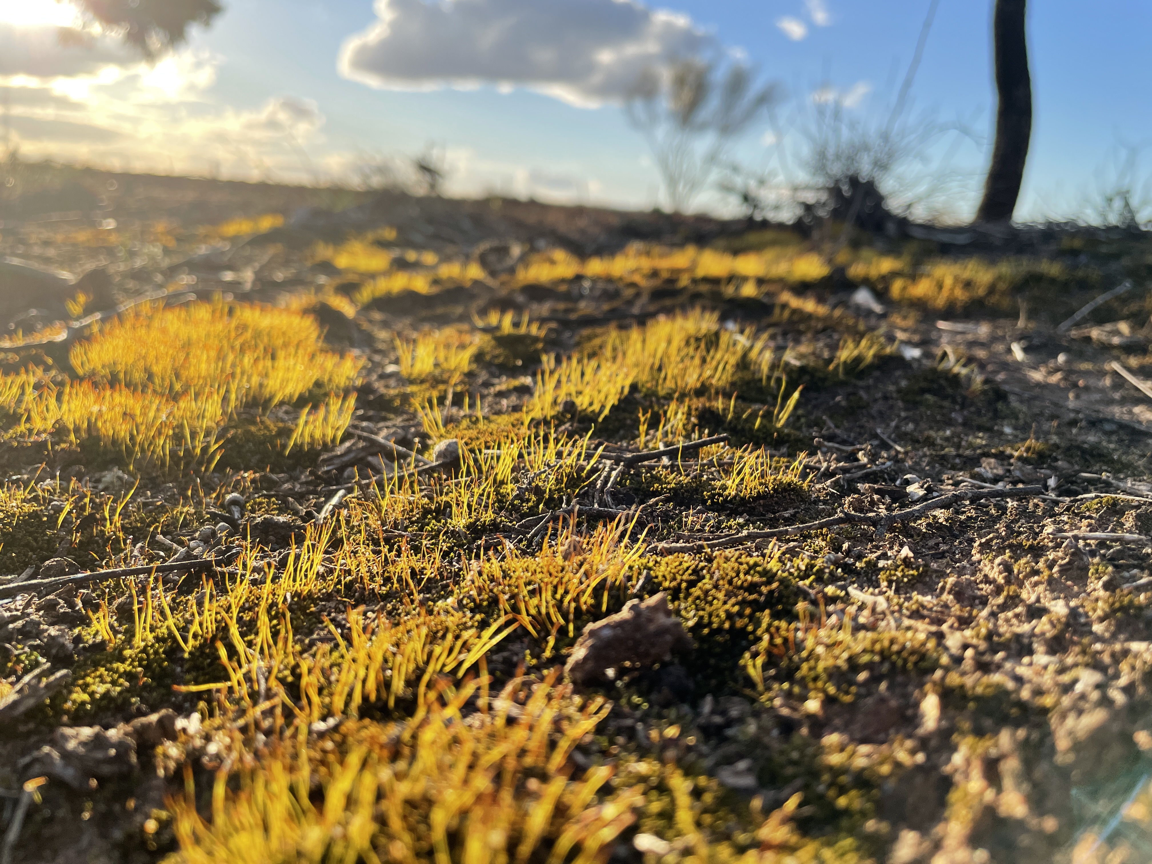
In the first couple of km along this road we saw a multitude of wildflowers so keep an eye out. It was amazing and well wort stopping to look and take some pics. Make sure you park safely off the road when you do this.

Here are a few of them – just magic. I has been a great spring for flowers this year.

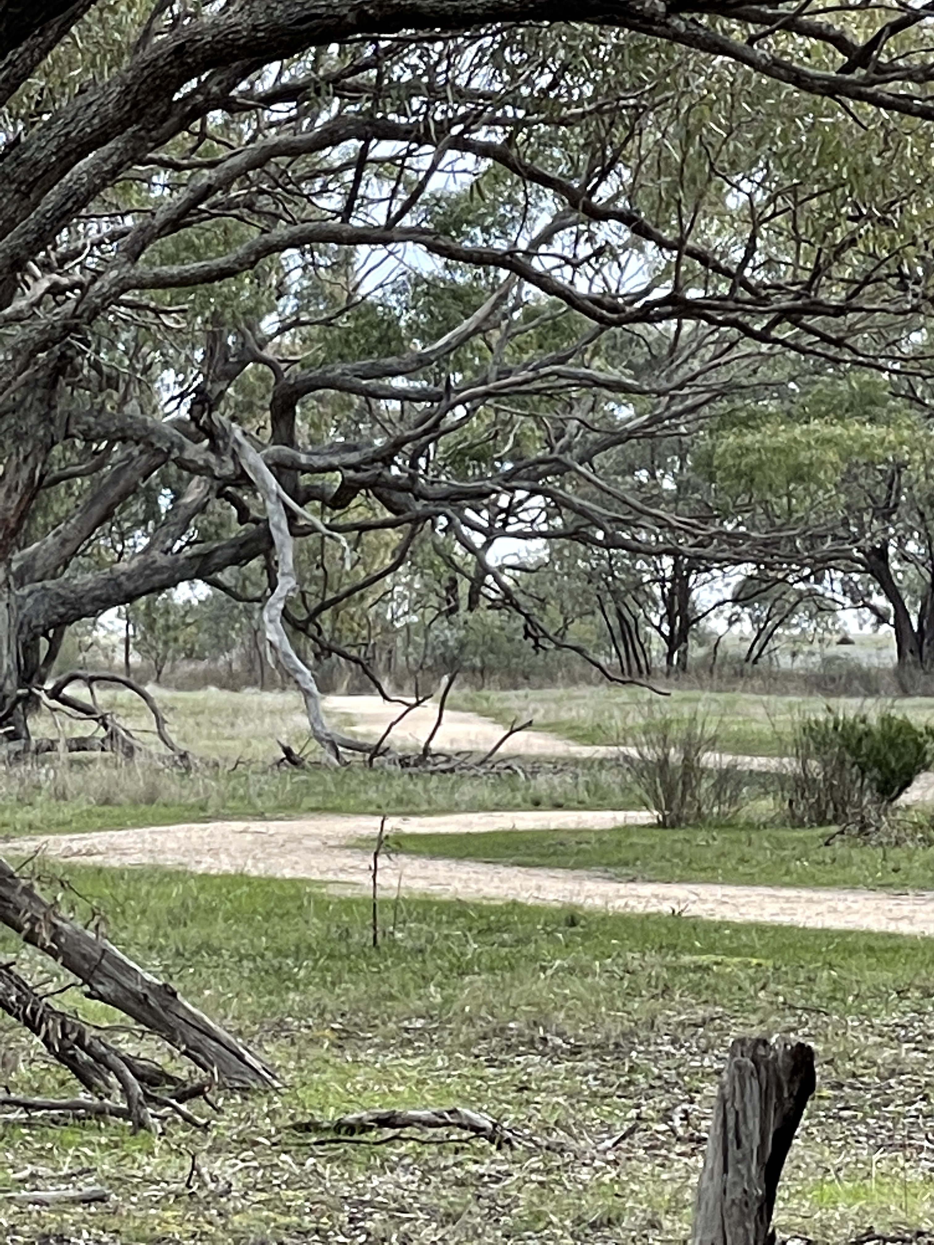
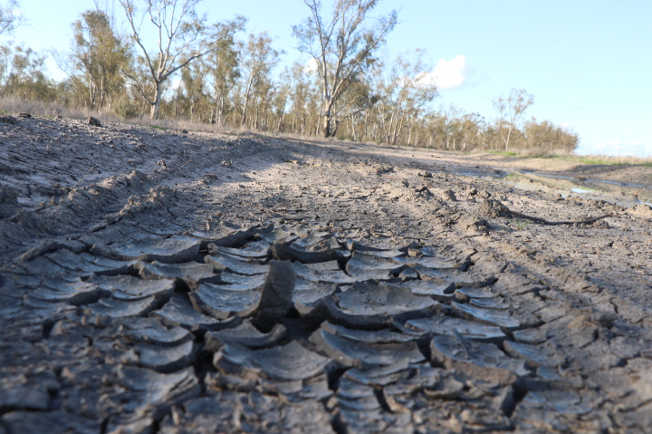
About 4km along this road and you will come to Wallaby Rocks Track which is on your right.

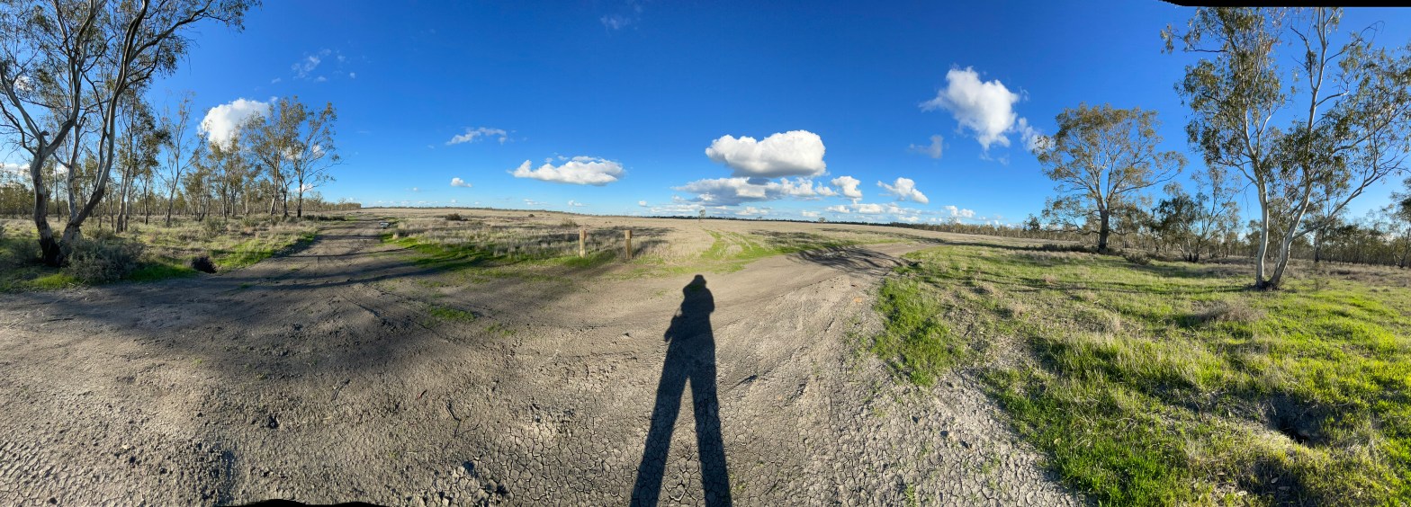
The windy track is four-wheel drive only and not well signposted and the day we were there was so windy at one point, about 3km into Wallaby Rock’s Track, we were not game to stand too close to any edges as a freezing, powerful wind attacked us from the west.

As we looked west towards the Black Ranges the horizontal rain almost turned to snow as it attacked us.

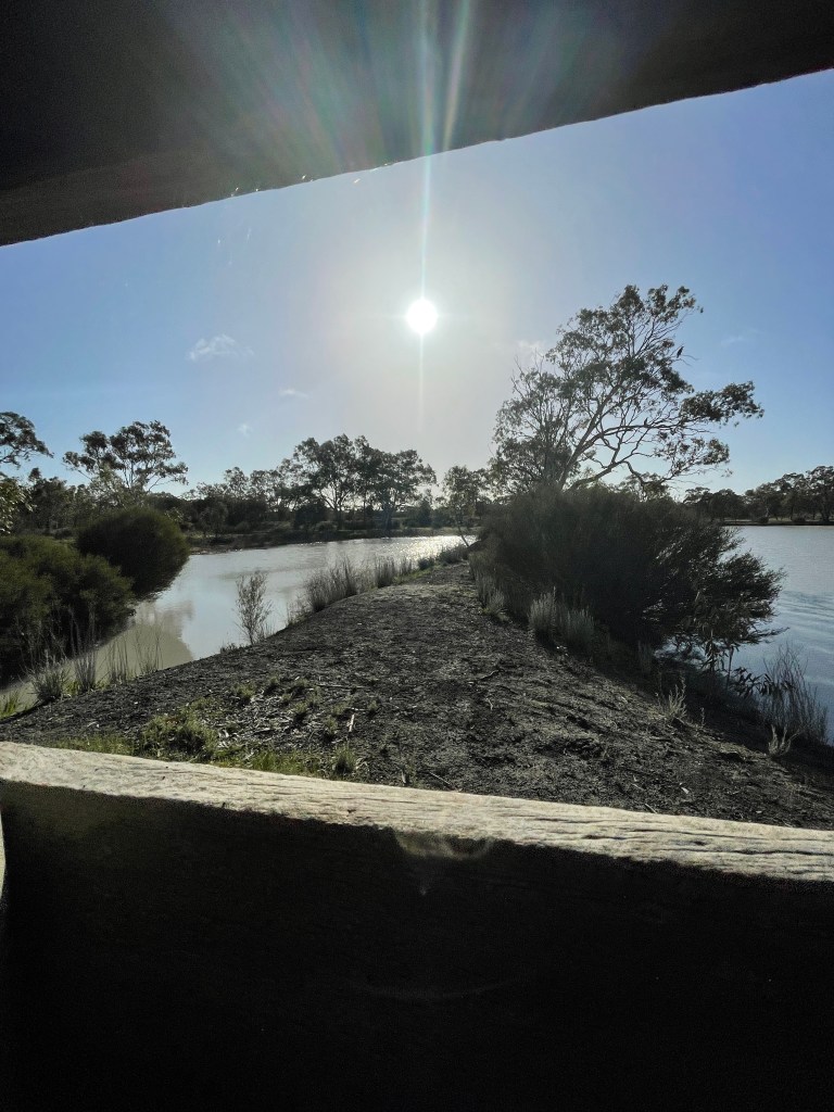
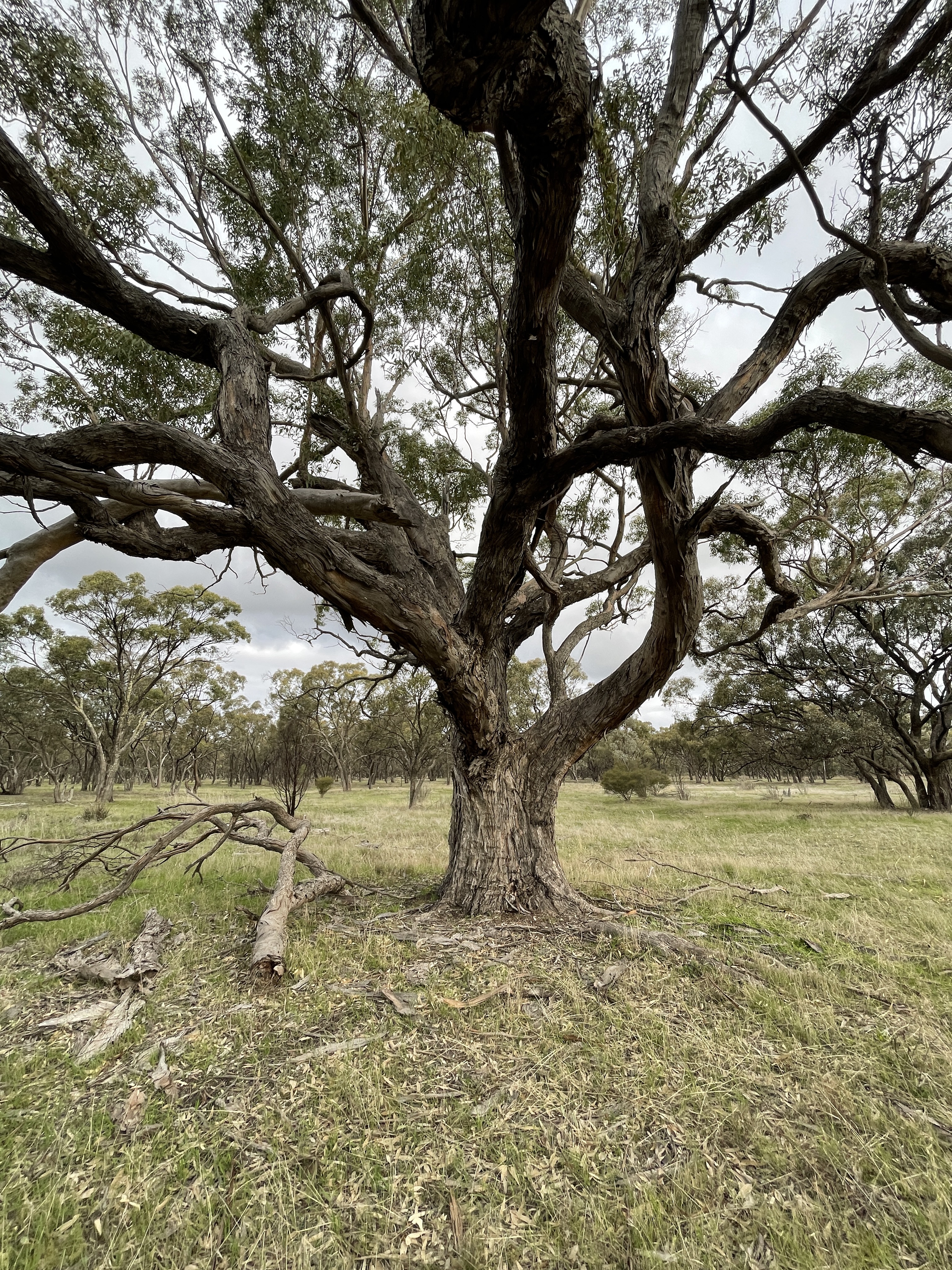
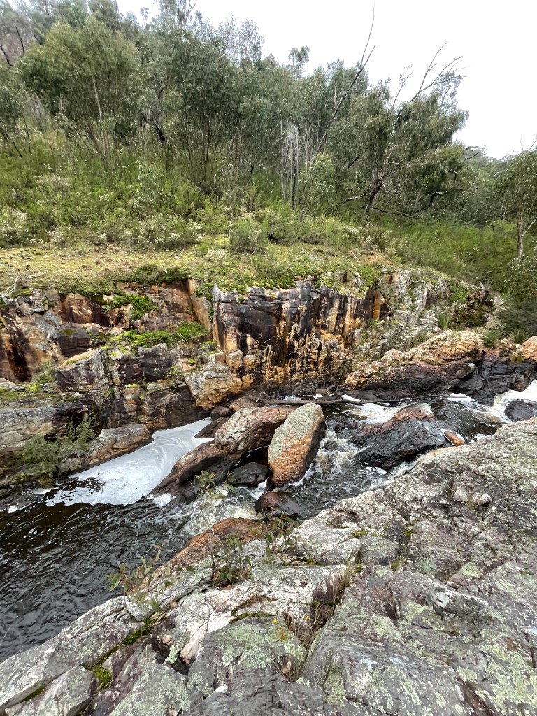
There were some magical views, especially the escarpments that form long and impressive walls of rock on the eastern parts of the track.

In the right weather, it would probably make a great walking.

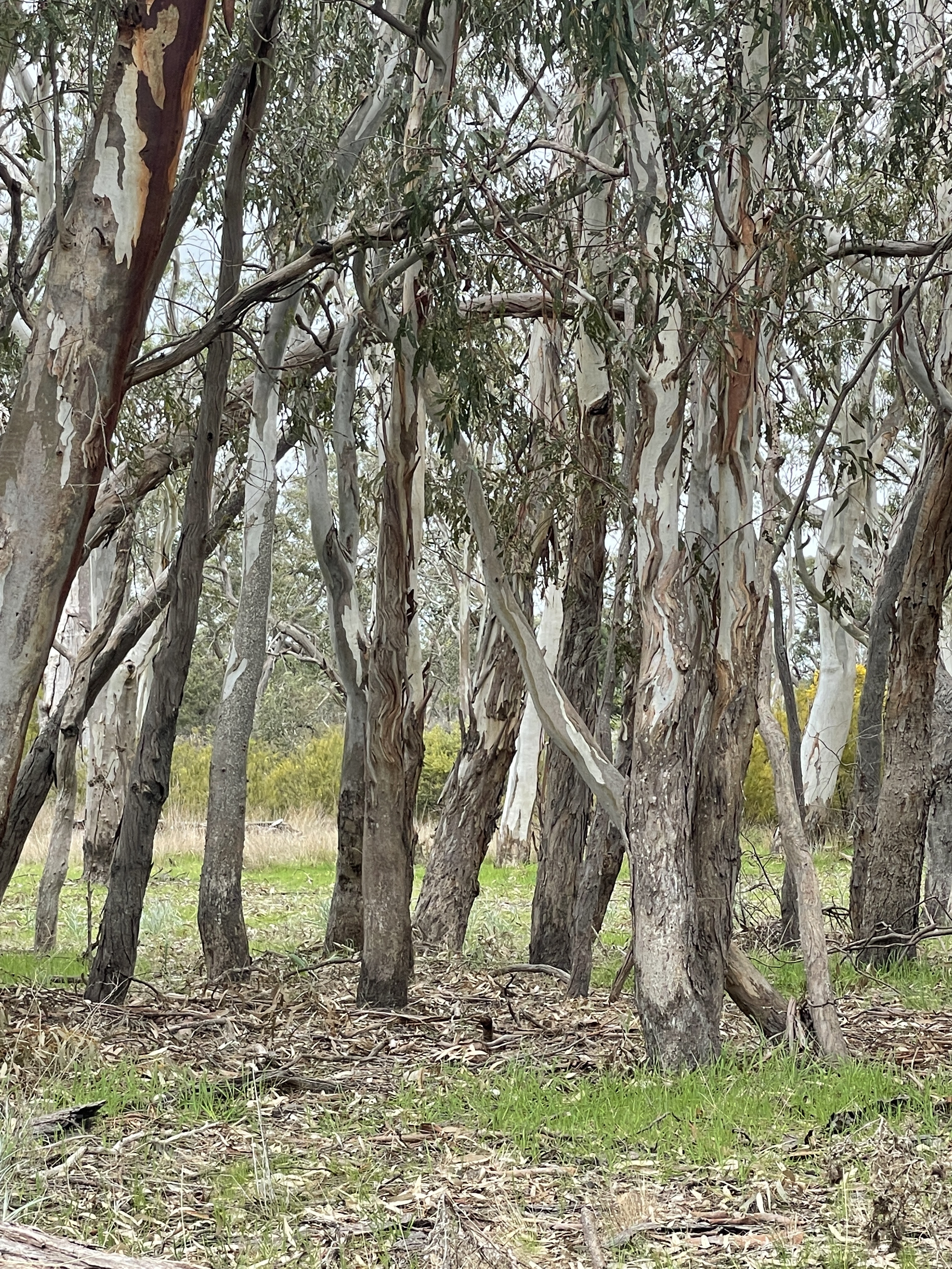
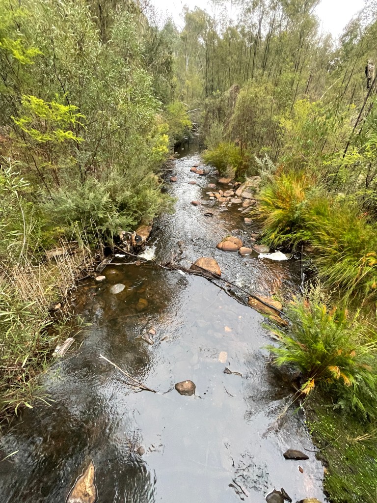
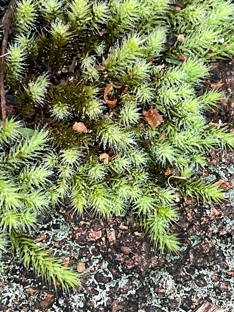
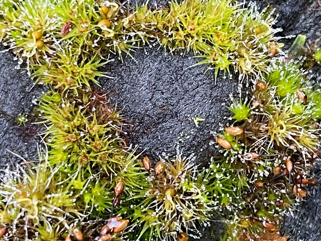
At times this rocky, windy track follows a creek, takes you up big hills and, in spring when we were there, past a rainbow of native flowers.

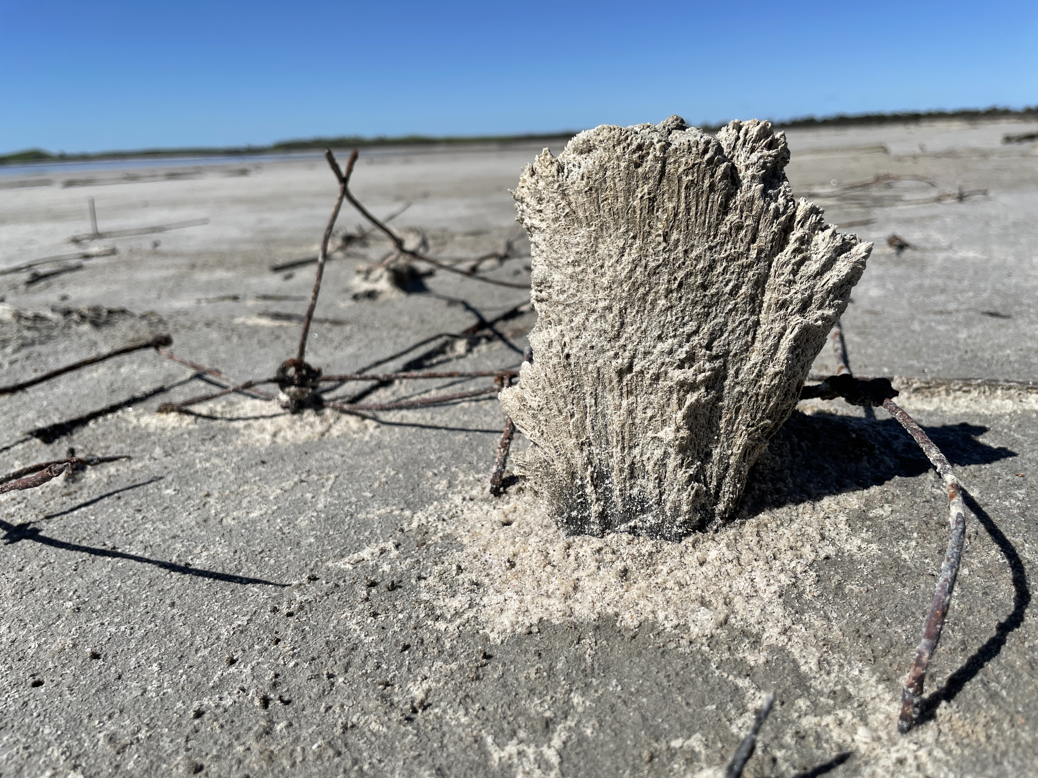
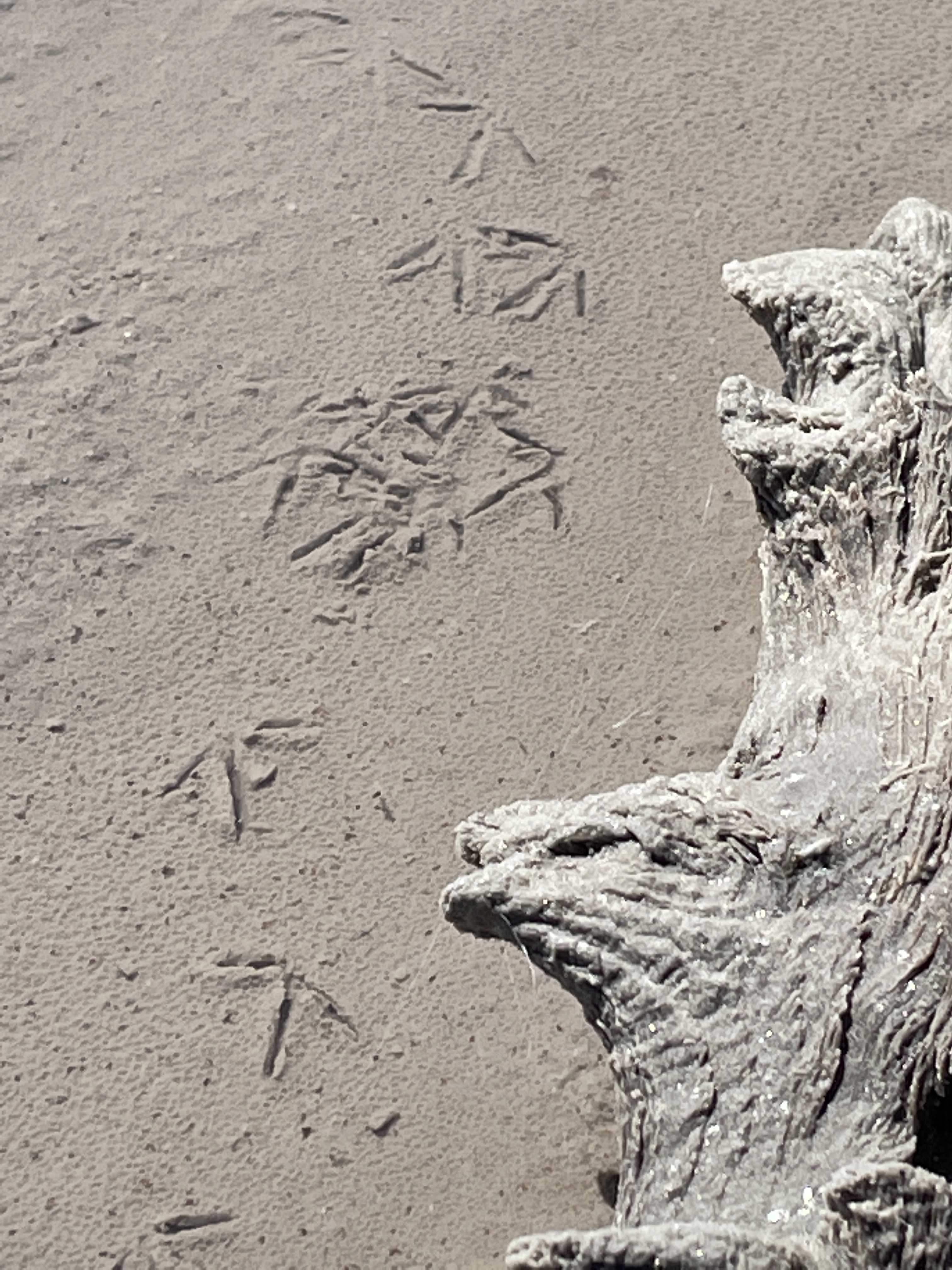
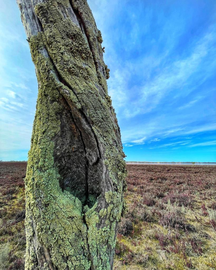
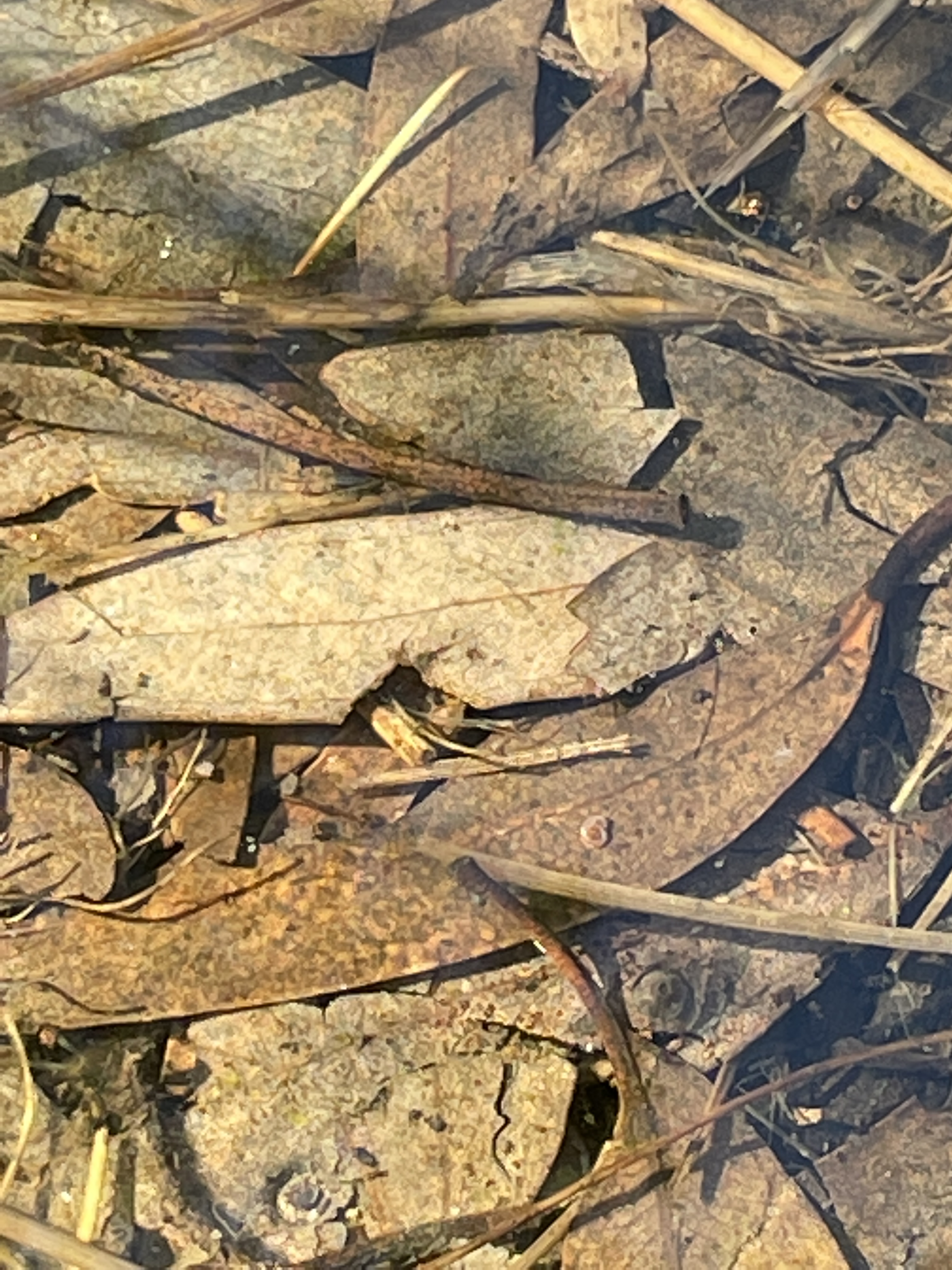
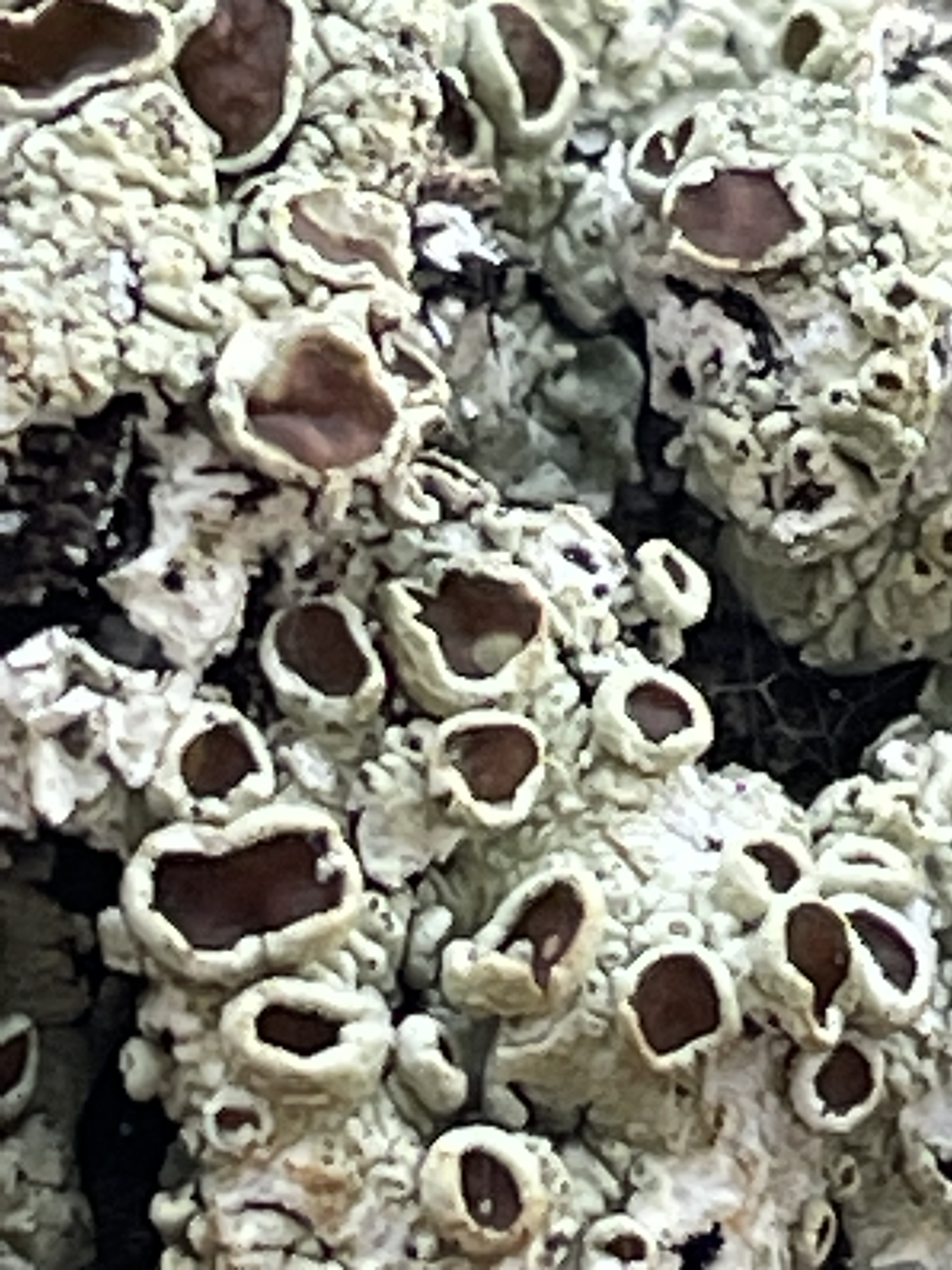
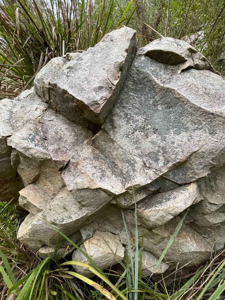
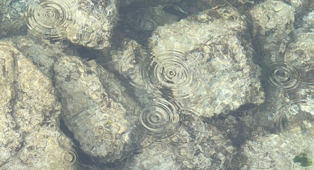
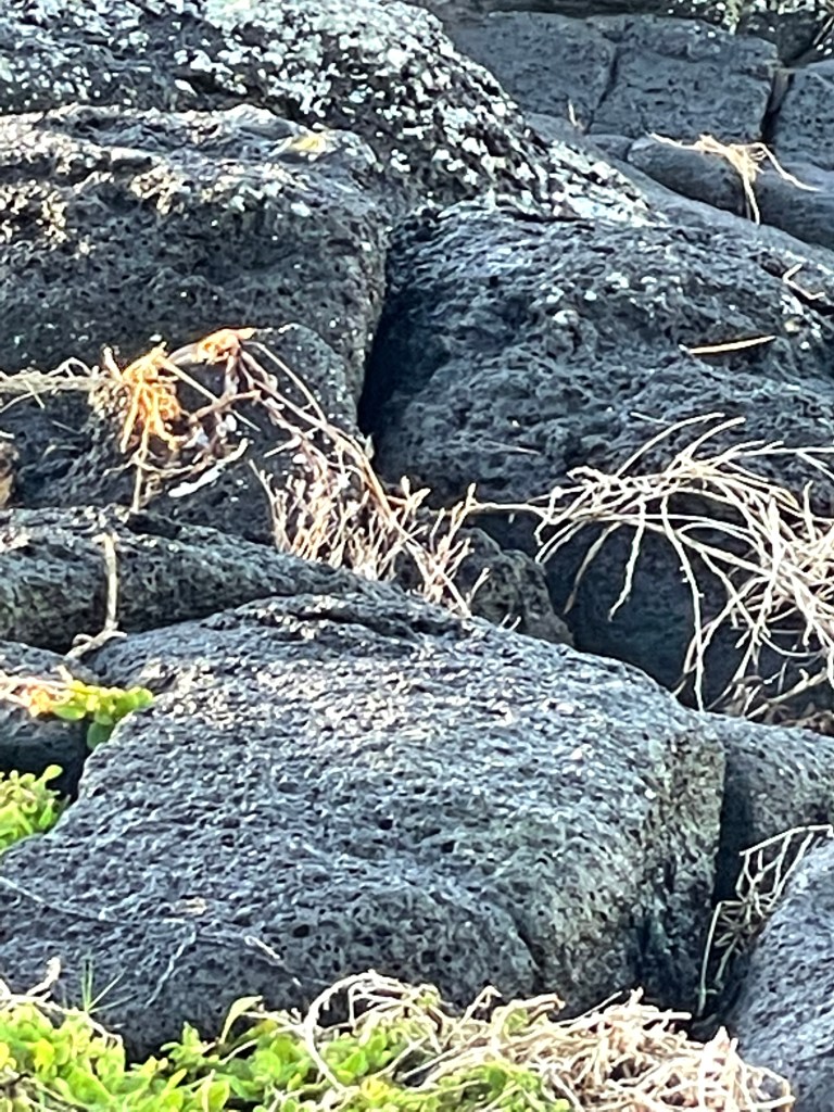
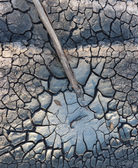
The other thing that strikes you are the rocks. Not your typical Gariwerd variety – if there is such a thing – and almost like they have been stacked. Mother Nature’s answer to Lego. Other flat ones resemble a rock mosaic, round rocks jammed together and possibly flattened over time by water and those harsh winds.

Other stacks of these stones perch at the edge of a cliff, almost directing your eye to the amazing views below and into the distance.

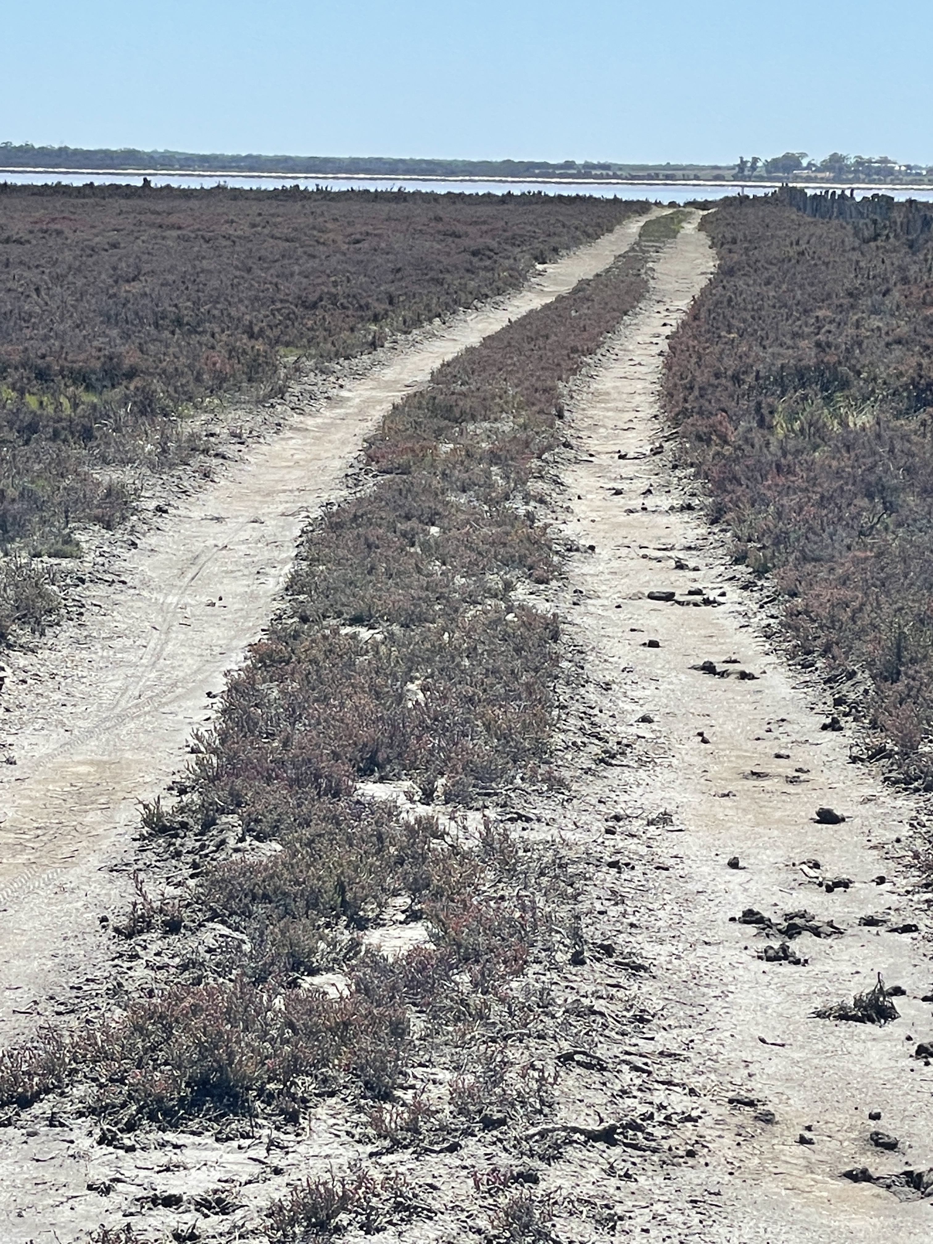
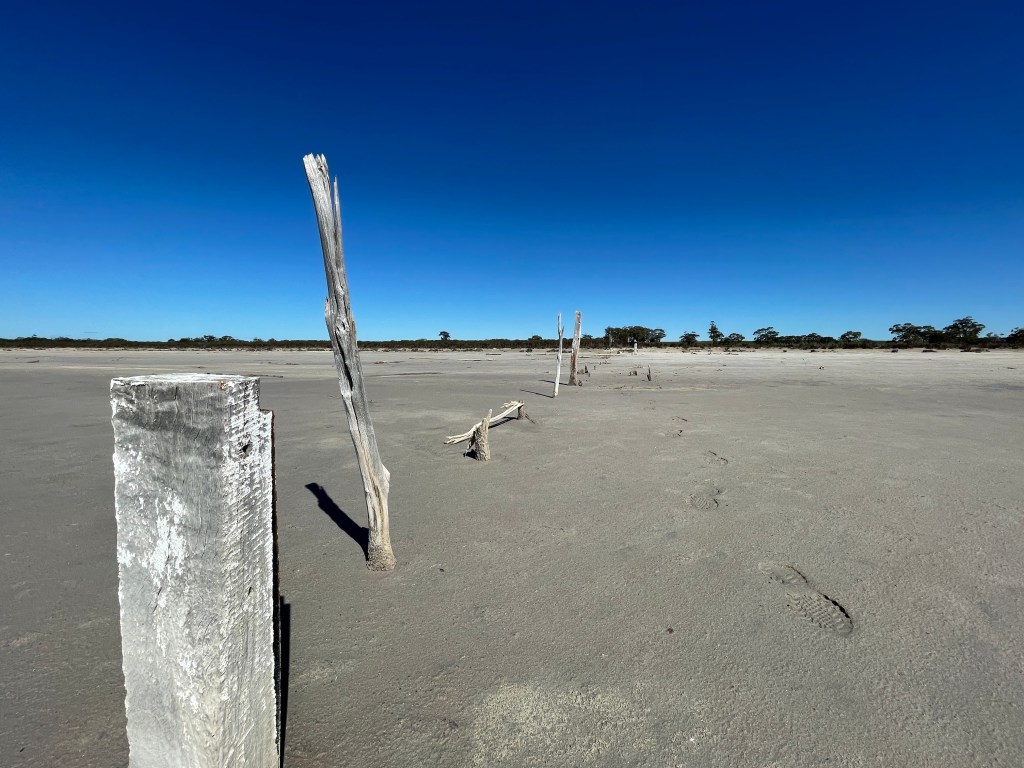
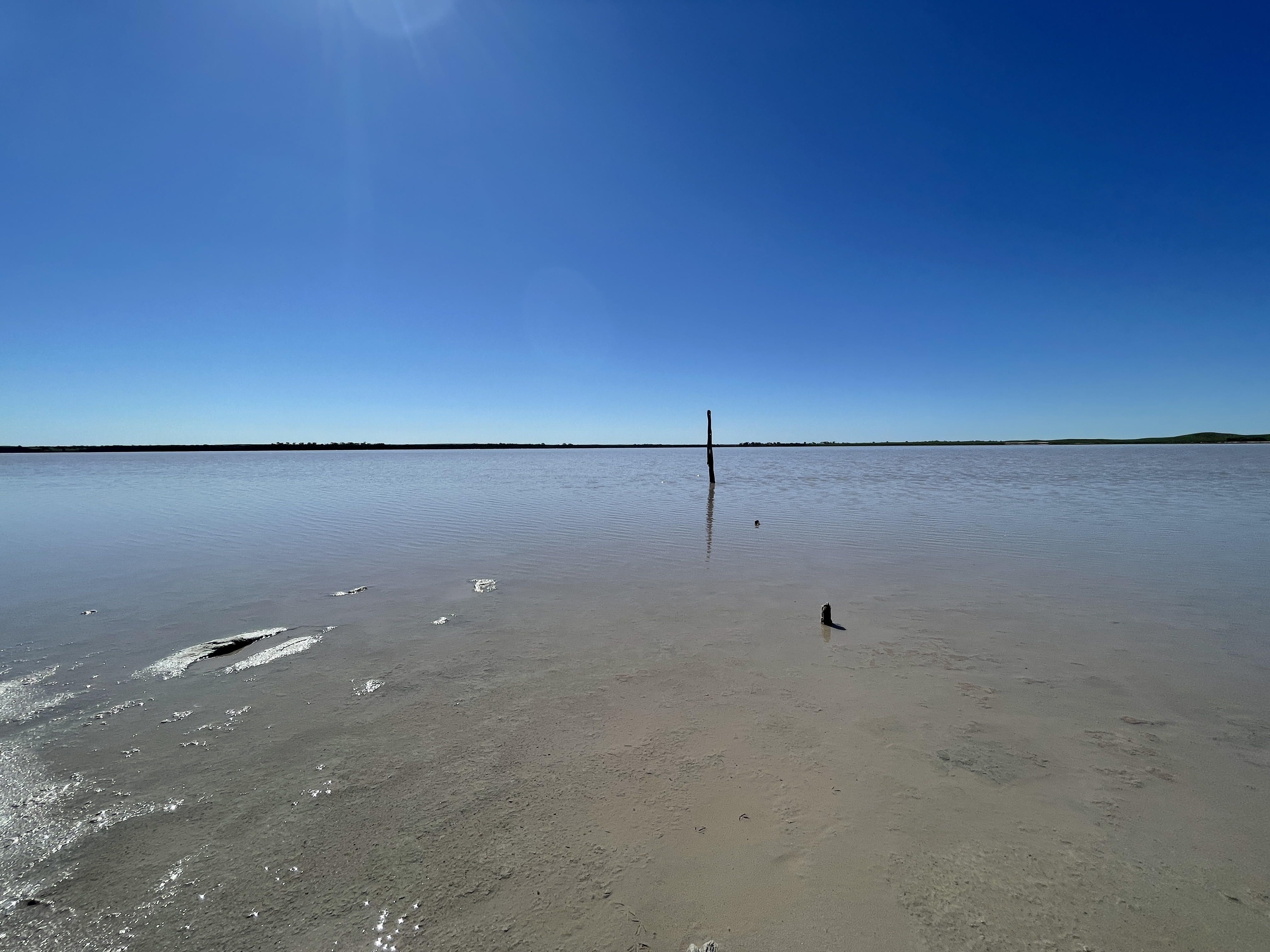
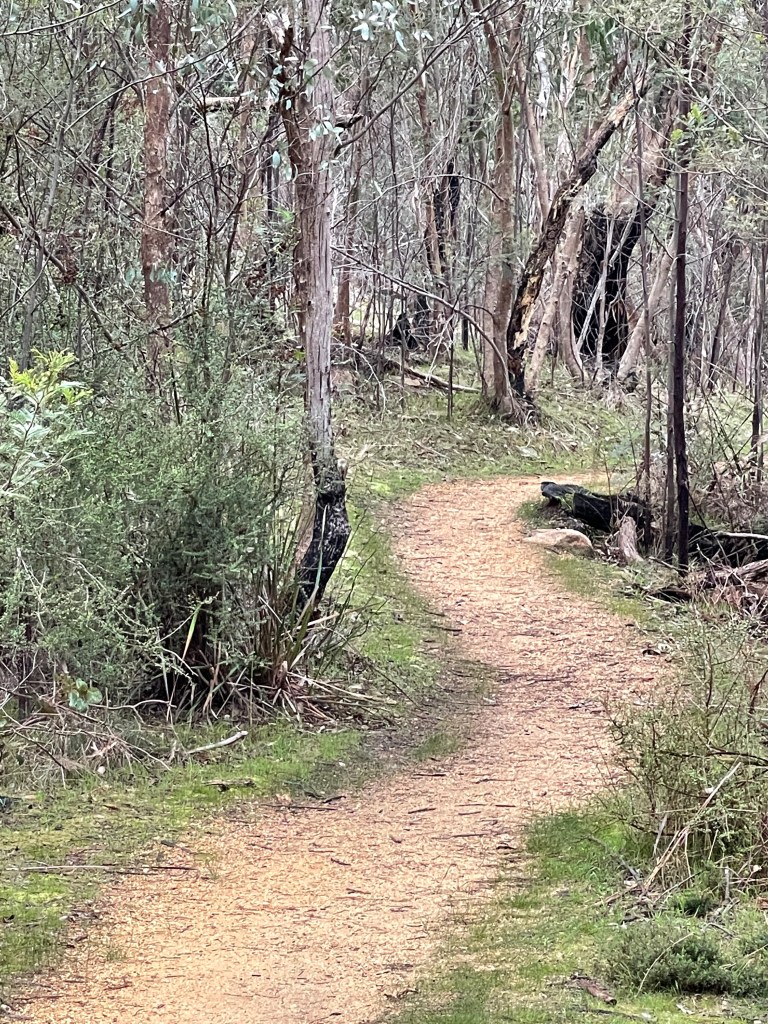
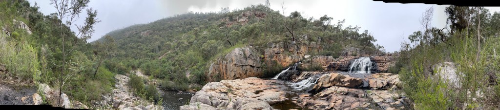
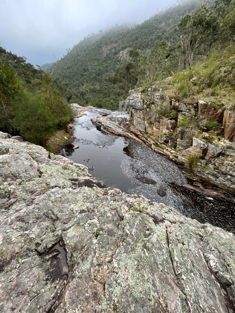
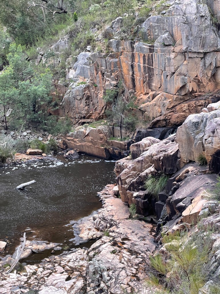
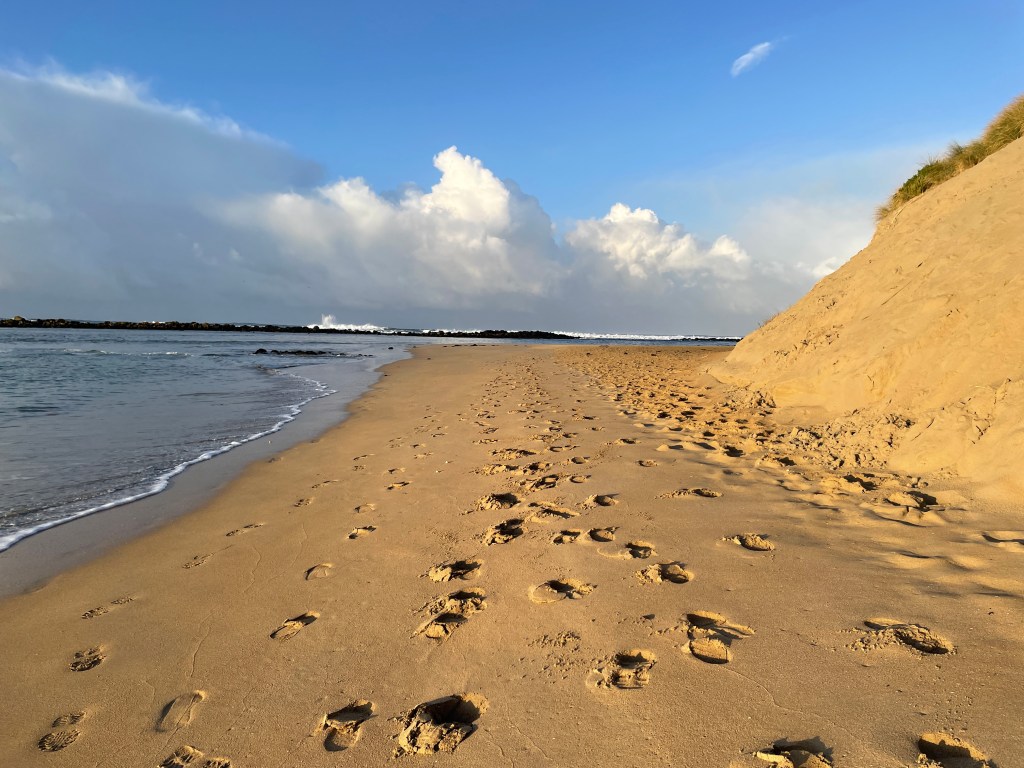
Wallaby’s Rocks is off the track probably about 10km in and this is where the rocks really star. It is only a short walk but take time to look at the plants and the rocks all around.

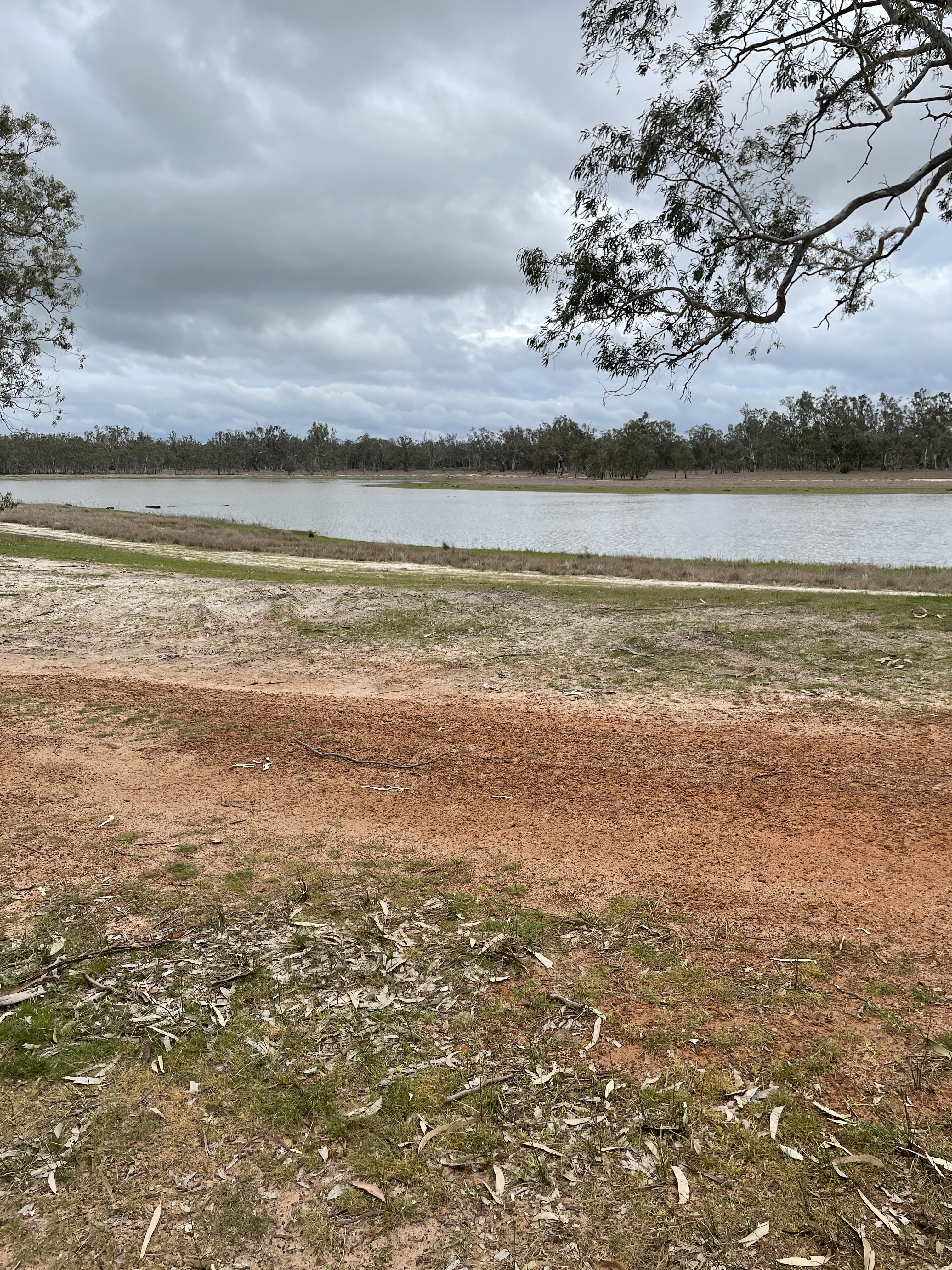
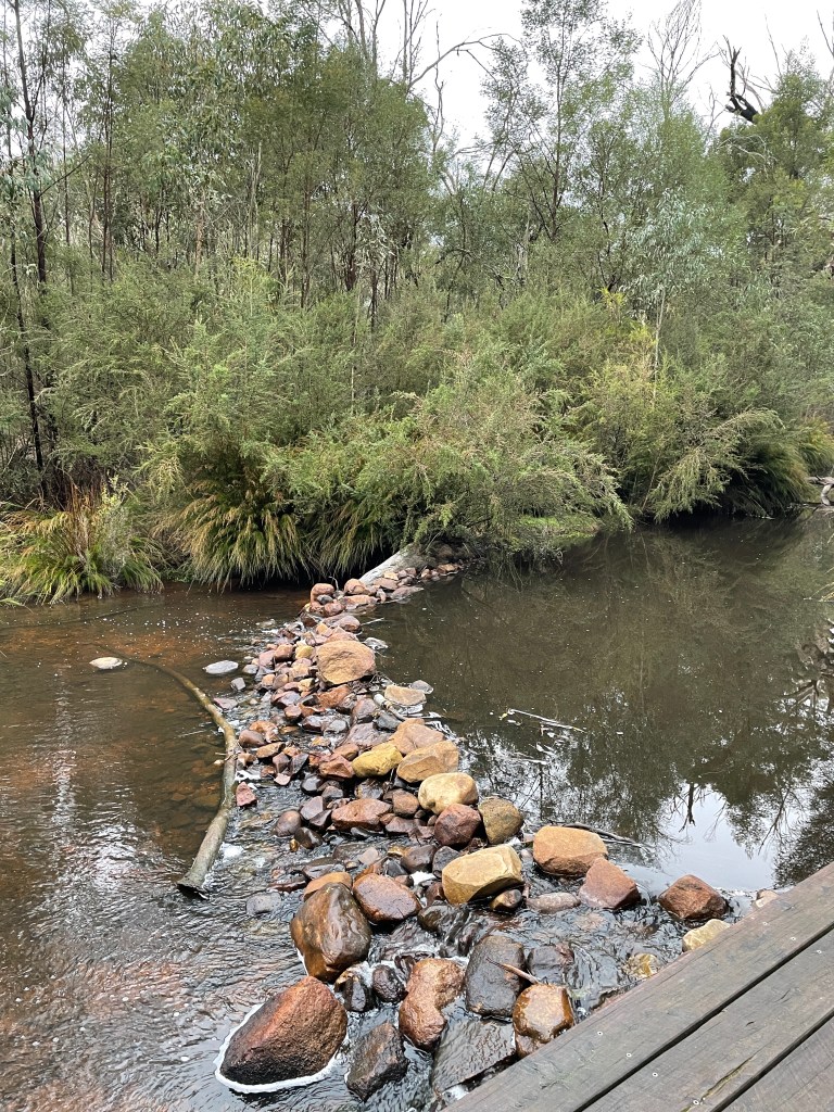
From here you can turn around and head back towards Roses Creek Road and continue your exploration to Burrong Falls and Paddy Castle.

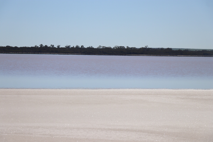
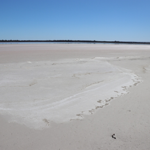
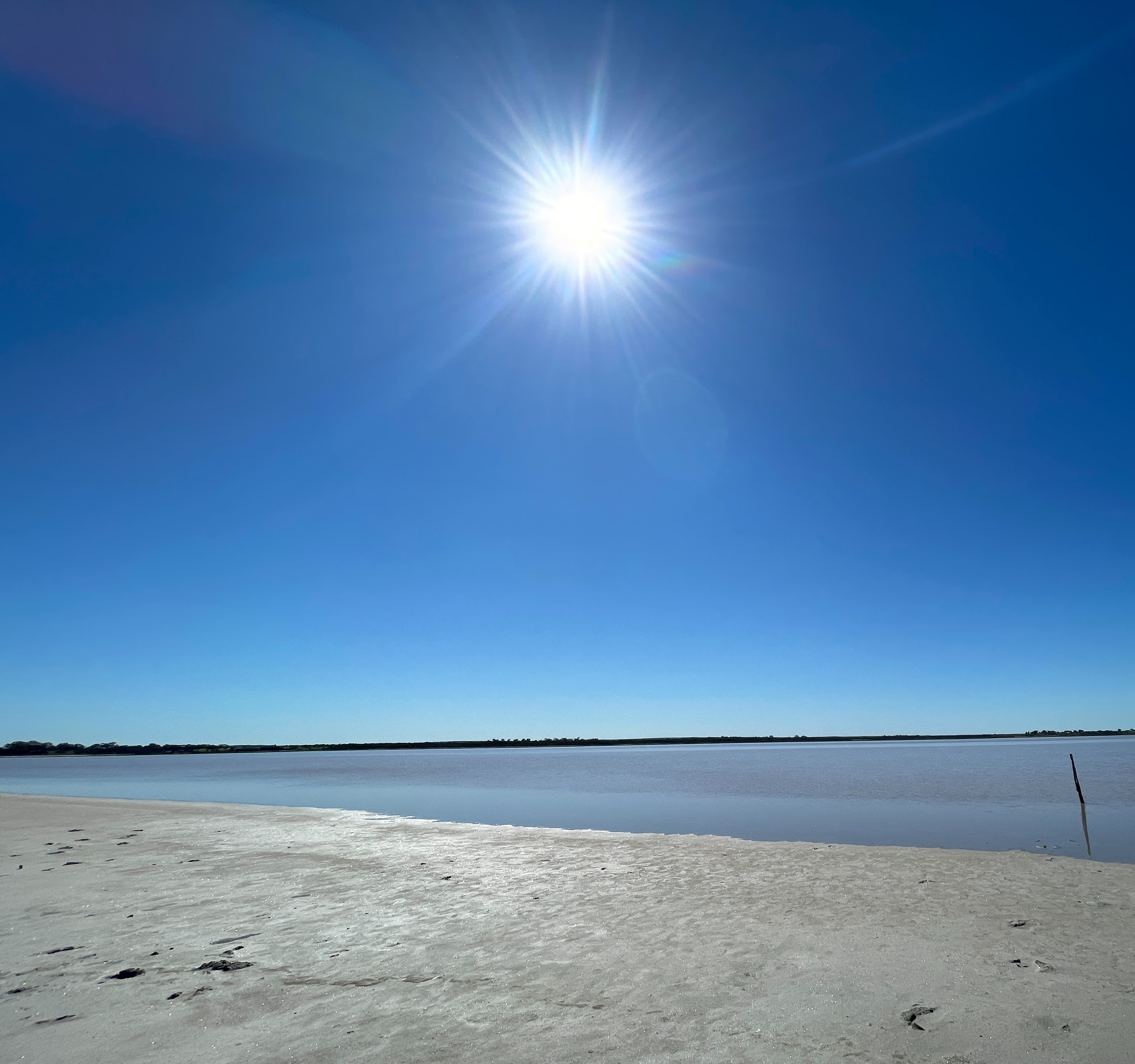
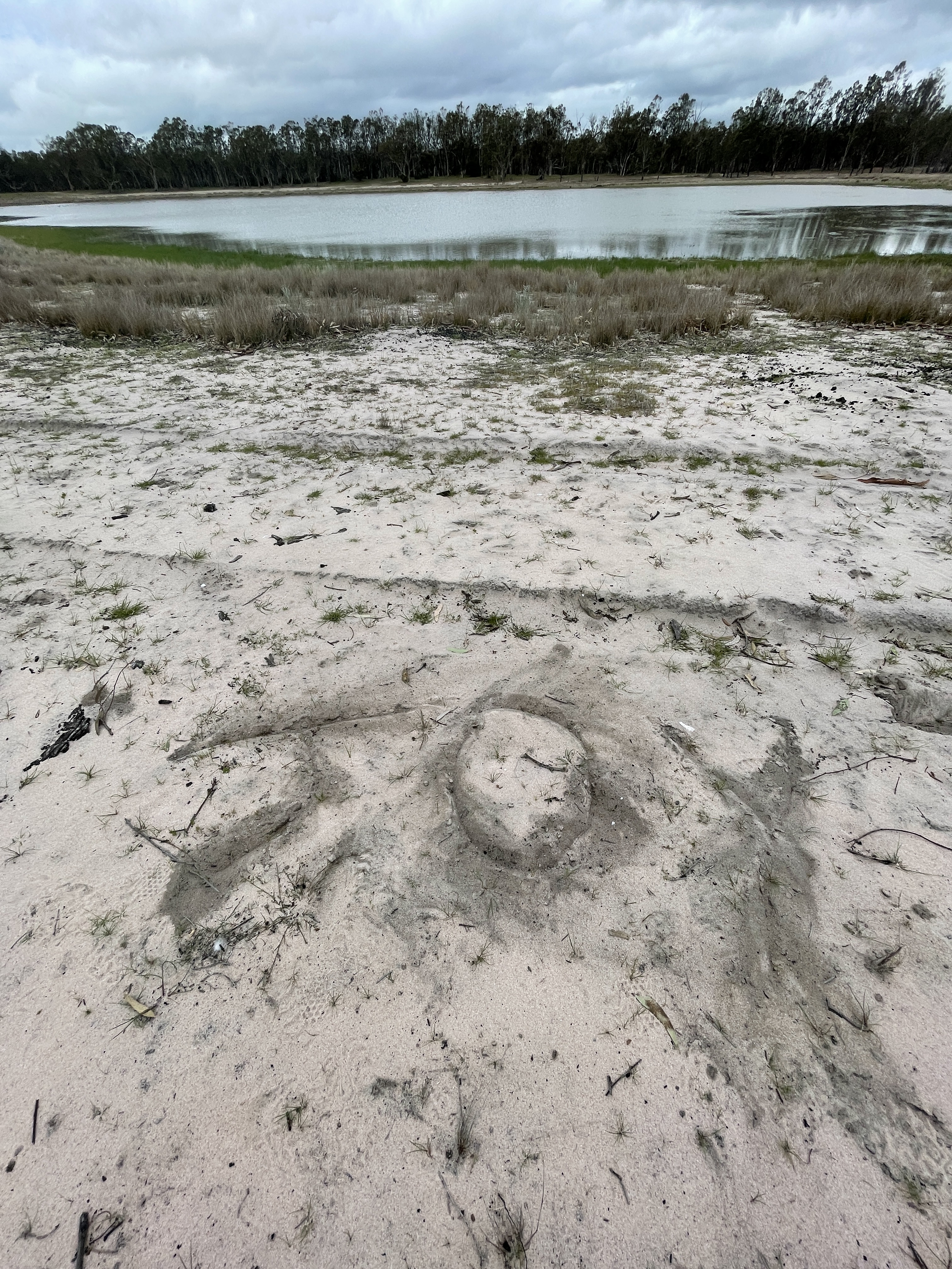
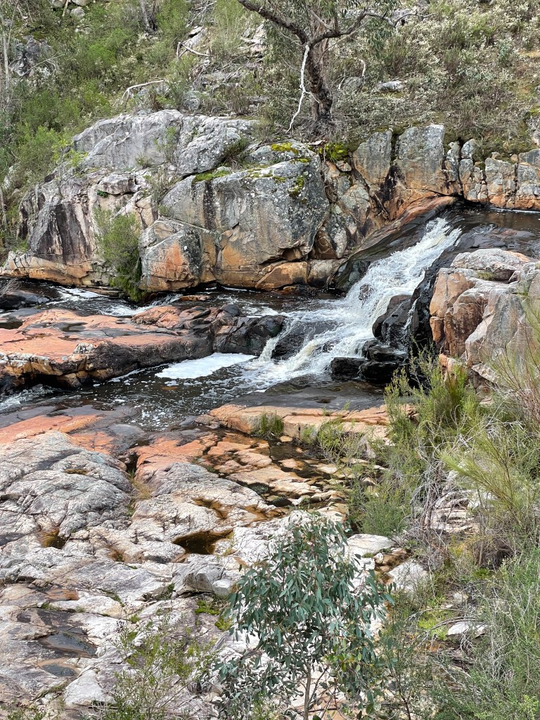
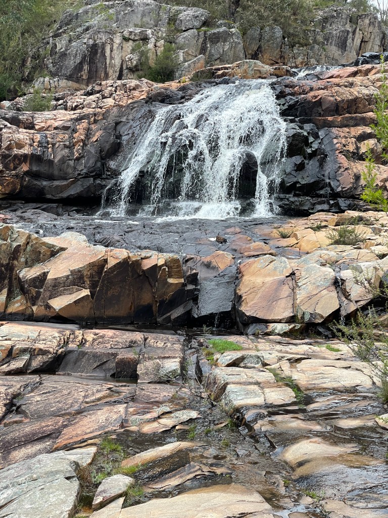
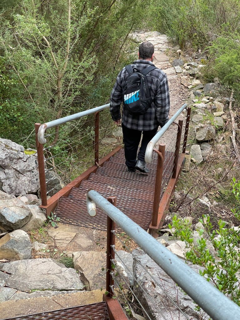
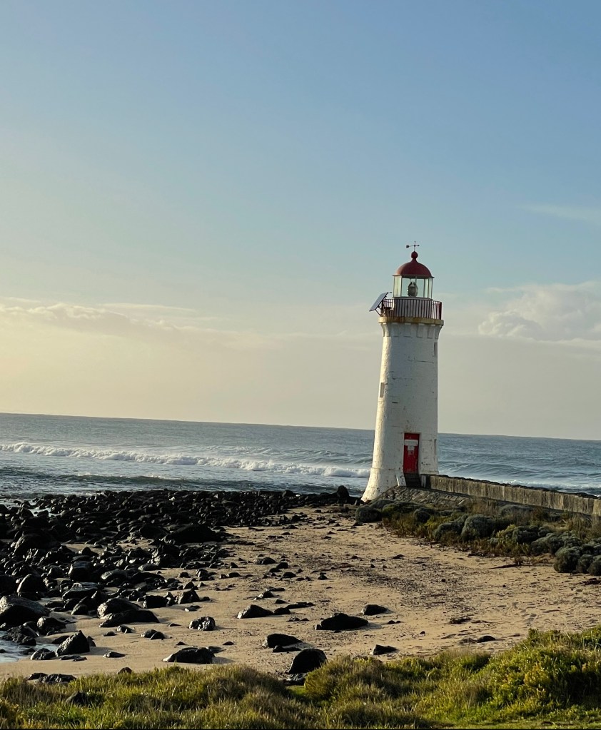
The Falls turnoff is about 3km after the Wallaby Rocks Track intersection, and it is a 850m return walk.

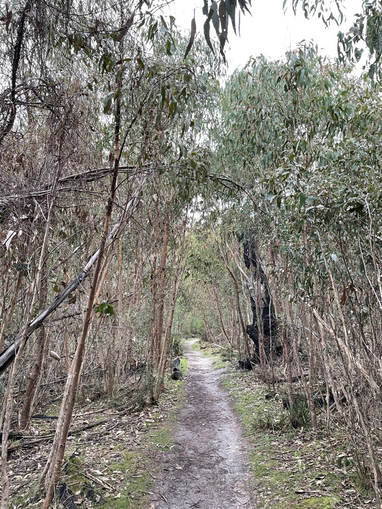
It is a pretty good track. We passed a bloke who had ridden his trail bike halfway down – not the smartest move and probably highly illegal – but it gives you an idea that it is a wide and robust until it turns into steeper steps (that the motorcycle did not traverse).

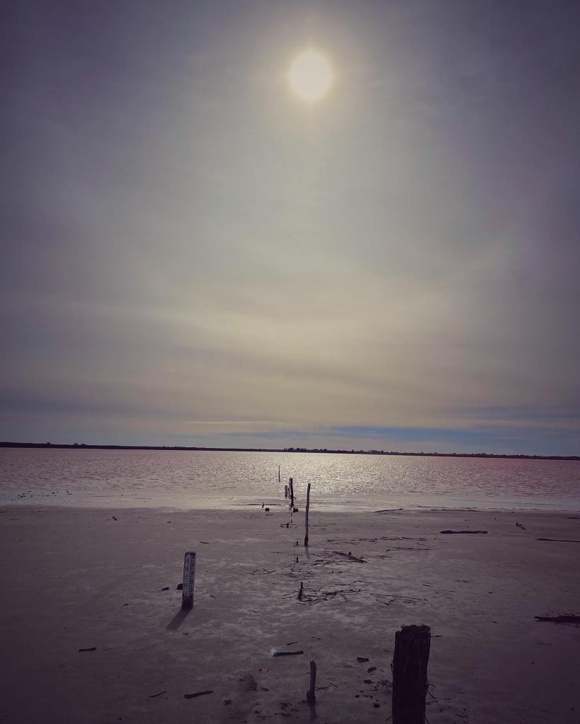
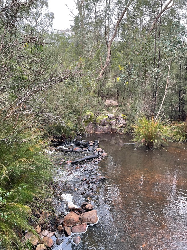
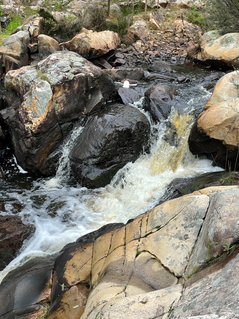
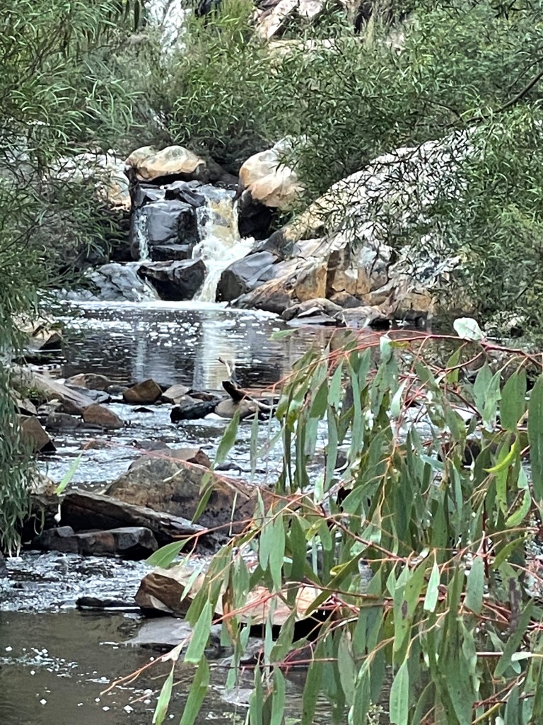
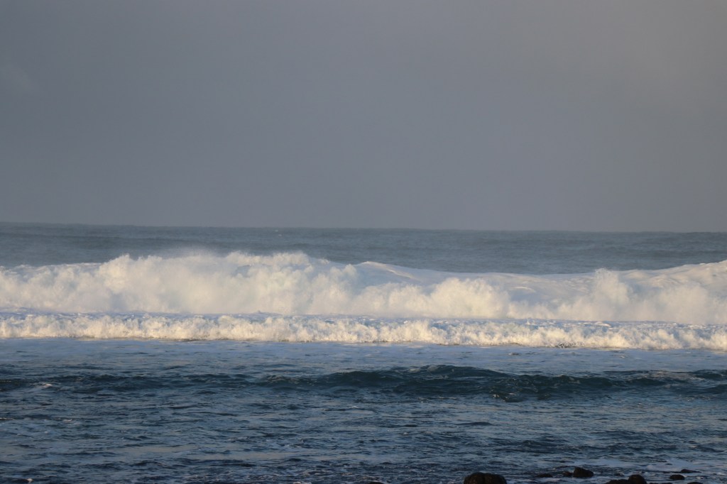
As you descend to the falls you are so busy looking at the mass of flowers that you forget to scan for the water and then it bursts out of the mess of rocks and bush.

Knots of white water from Rose Creek roll over the shiny stones, sometimes multiple heads of thick, long white hair.

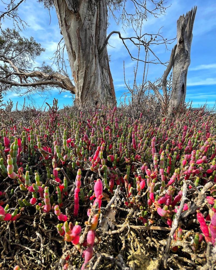
Like Wallaby Rocks, Burrong stones are a stacked creation from Mother Nature’s Lego Design studio, in this case a set of almost perfectly cut steps installed for the little creek’s grand descent.

I find a few different vantage points and wonder if these were the falls where, as a shy 13-year-old at my first day at a new high school, I was unceremoniously bitten by a bull an on the bum. No chance of applying the bracken fern treatment on that day for fear of the being the butt of many strangers/ jokes.

We head back up the hill, noticing even more flowers than we did before, and get back in the car and head towards and Scrubby Creek and Paddy Castle.

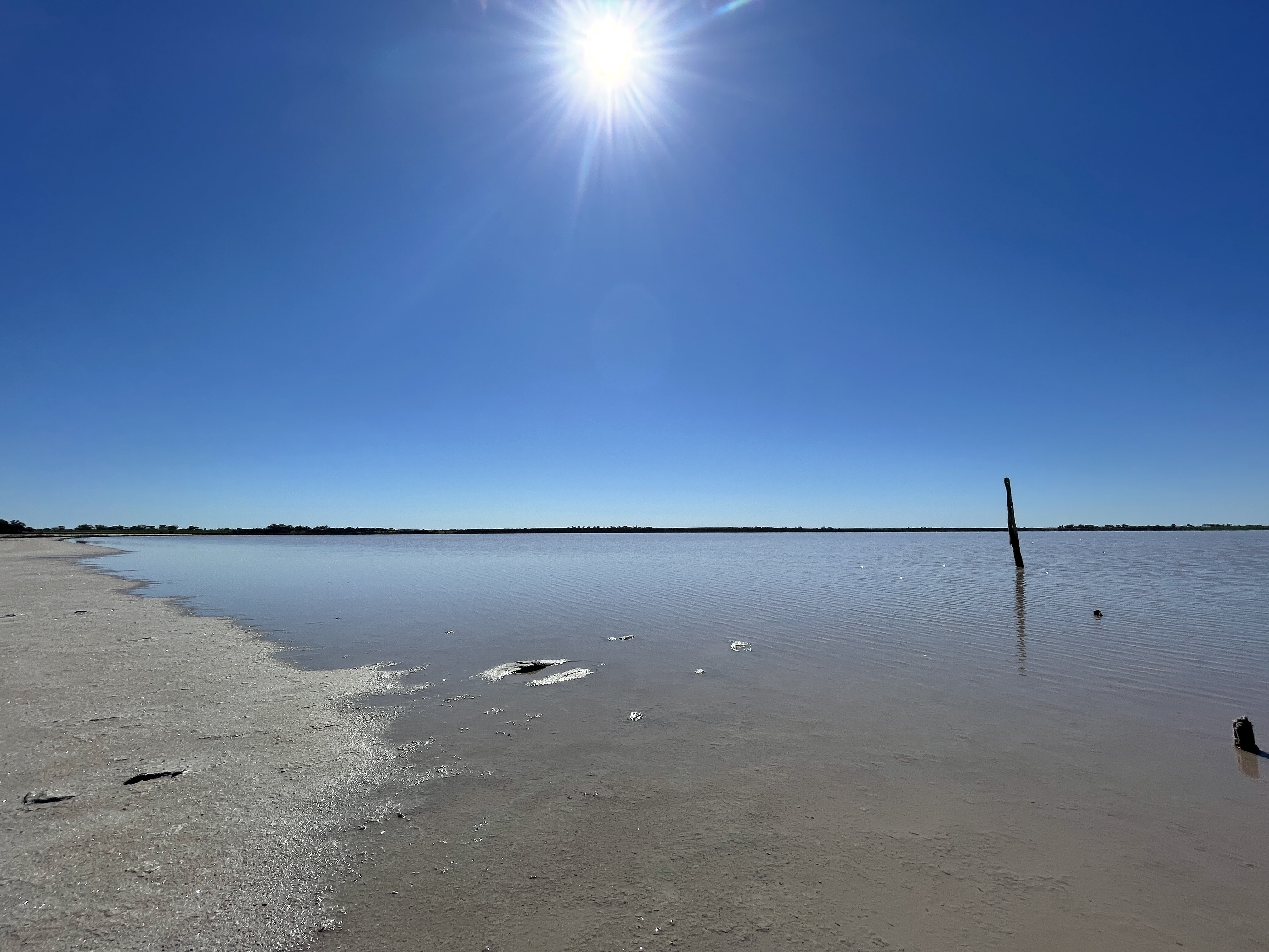
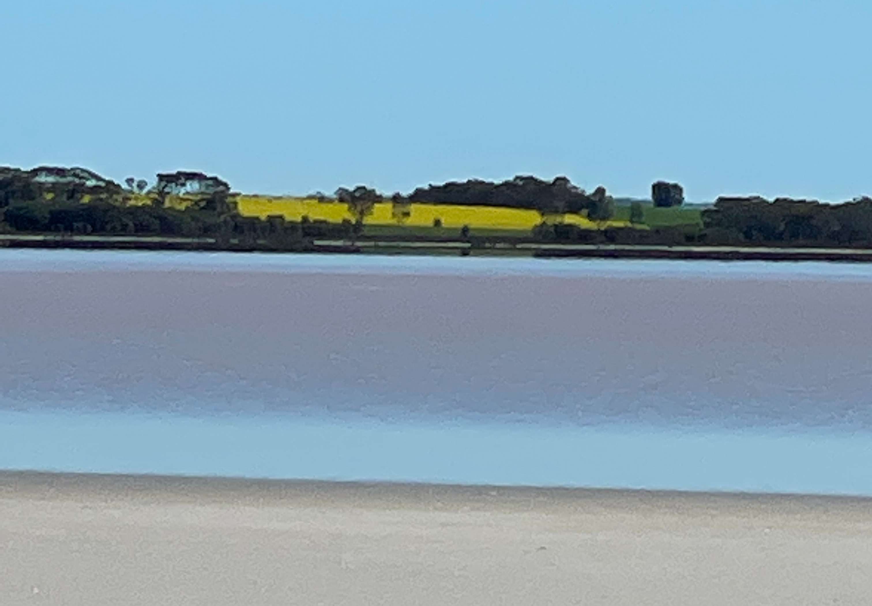
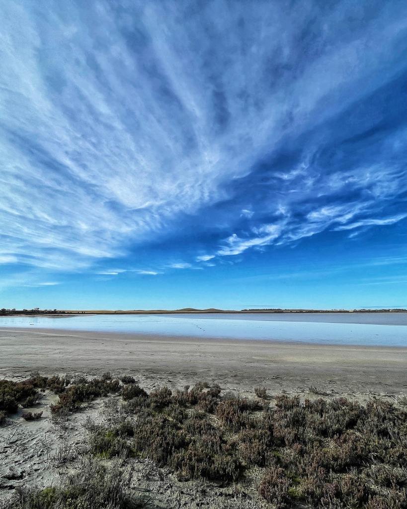
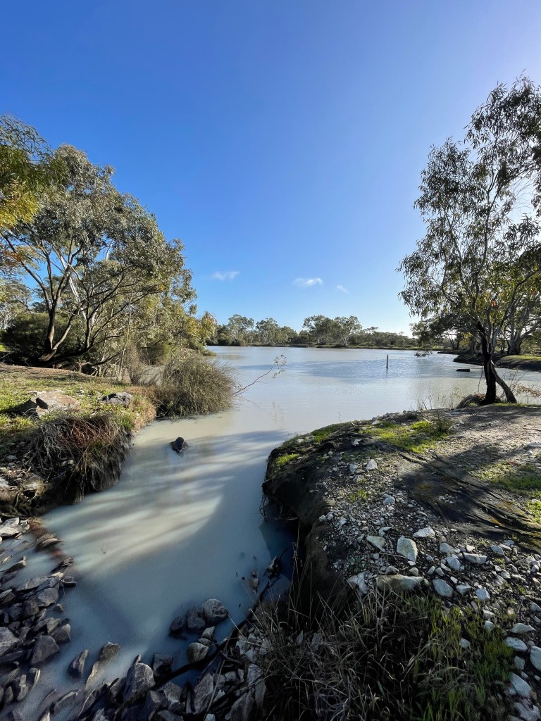
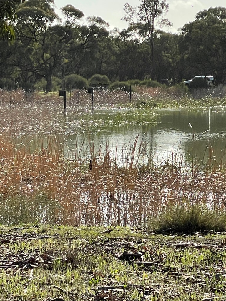
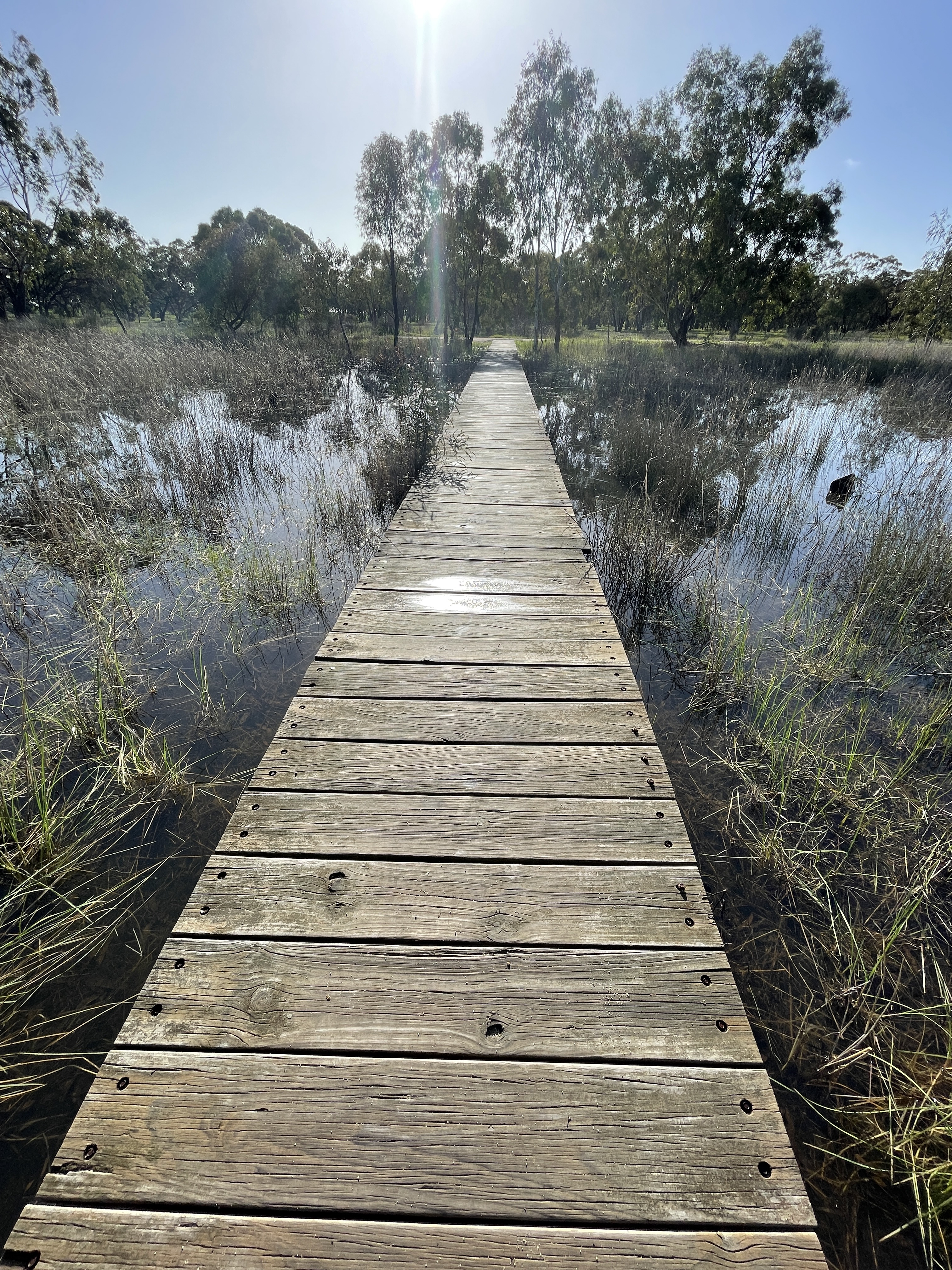
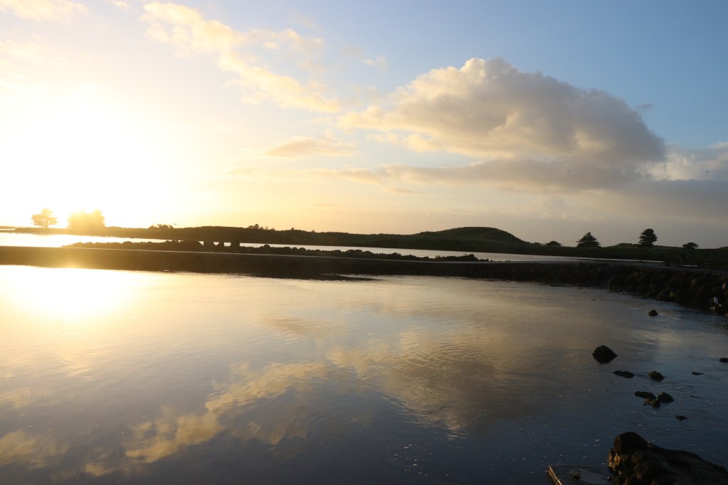
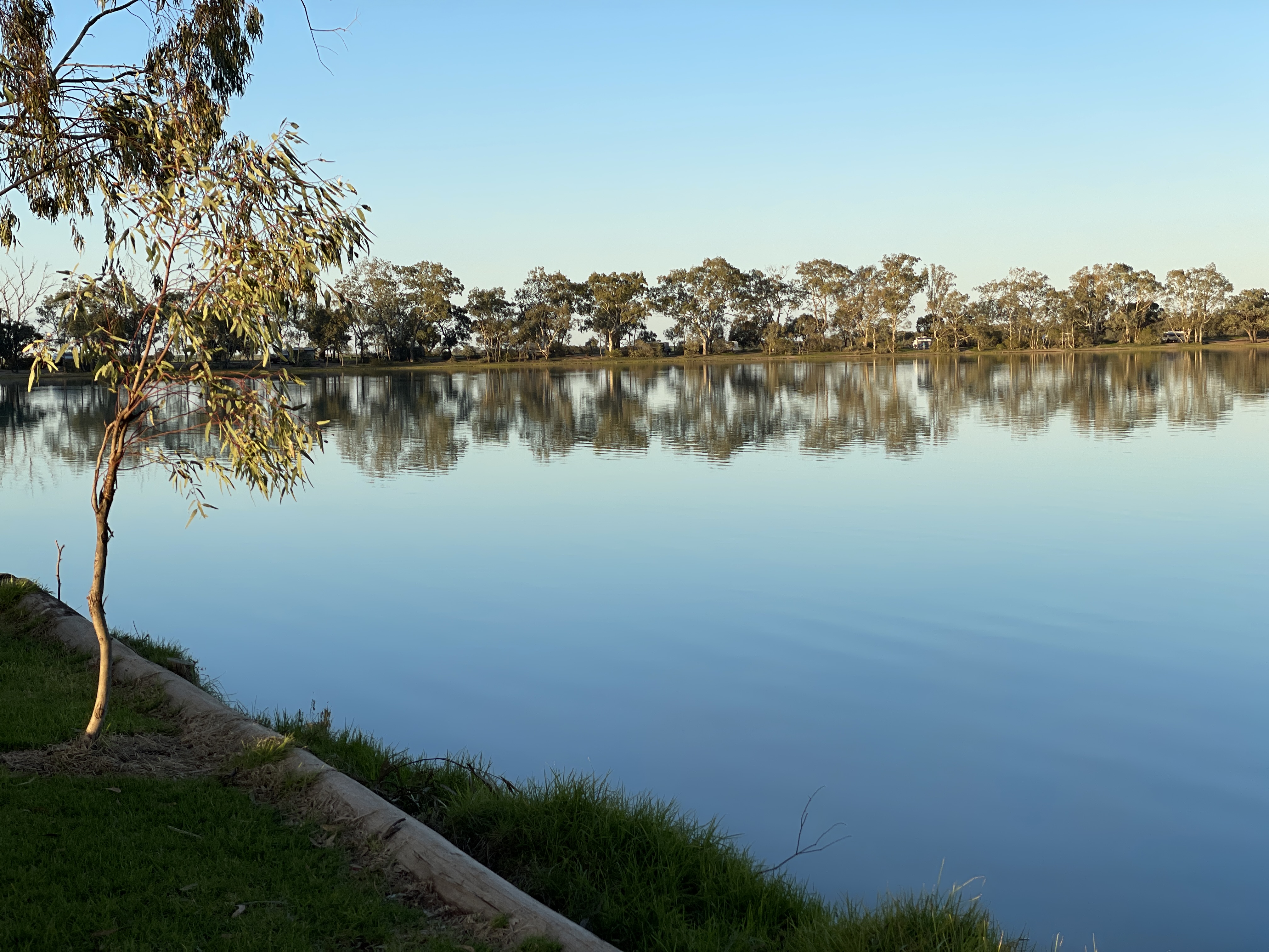
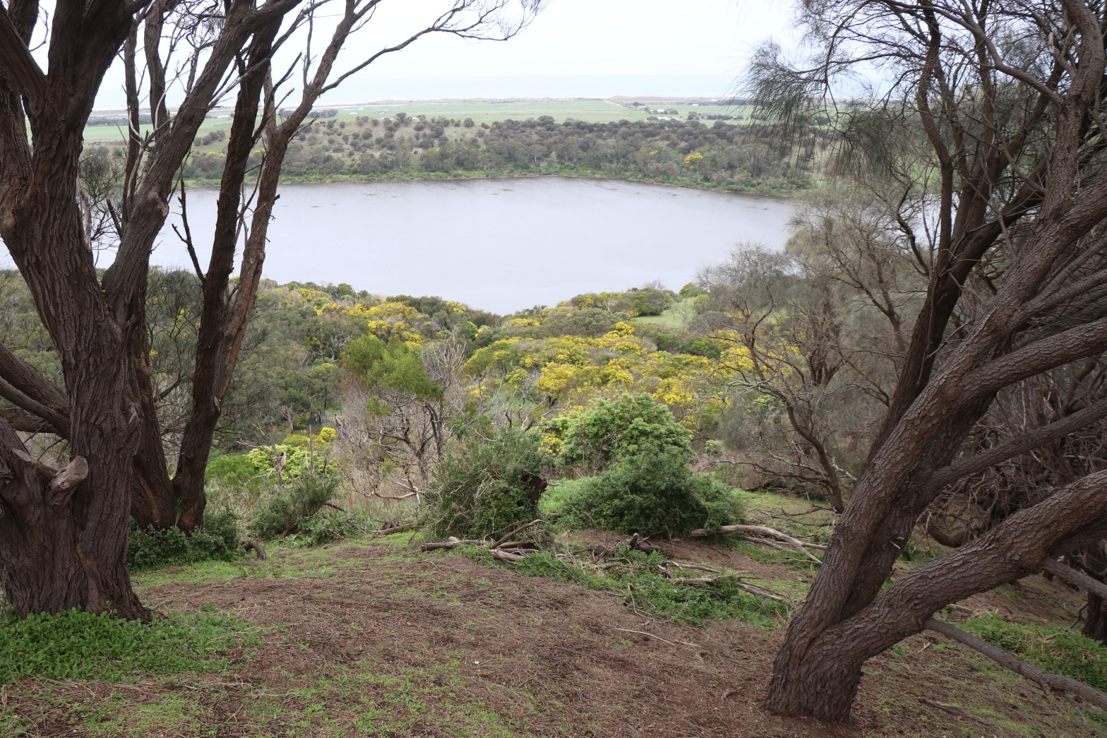
We take Phillip Island Road, which an Age article from April 9, 1894, tells me was ‘so called because in the Winter it is surrounded by water’. I am not sure if we saw Phillip Island – which is a tiny bit of land at the southern end of White Bull Swamp, which runs for several kilometers beside Phillip Island Road and is fed by Rose Creek.

At the intersection of Phillip Island Road and Lodge Road you find Boreang Camping Ground which looks like a great spot to stay and hosted a few campers. Paddy Castle is a couple of Km west of this ground.

The Age article also describes this castle, although it does not say who Paddy was.  Paddy was a derogatory term for an Irishman so perhaps this was a name given to the rock by a non-Irish settler.

The 1894 writer talks of ‘A bold rook jutting out from the mountain side, with an apparently loose stone on the extreme top, looking like a brick on a chimney.’

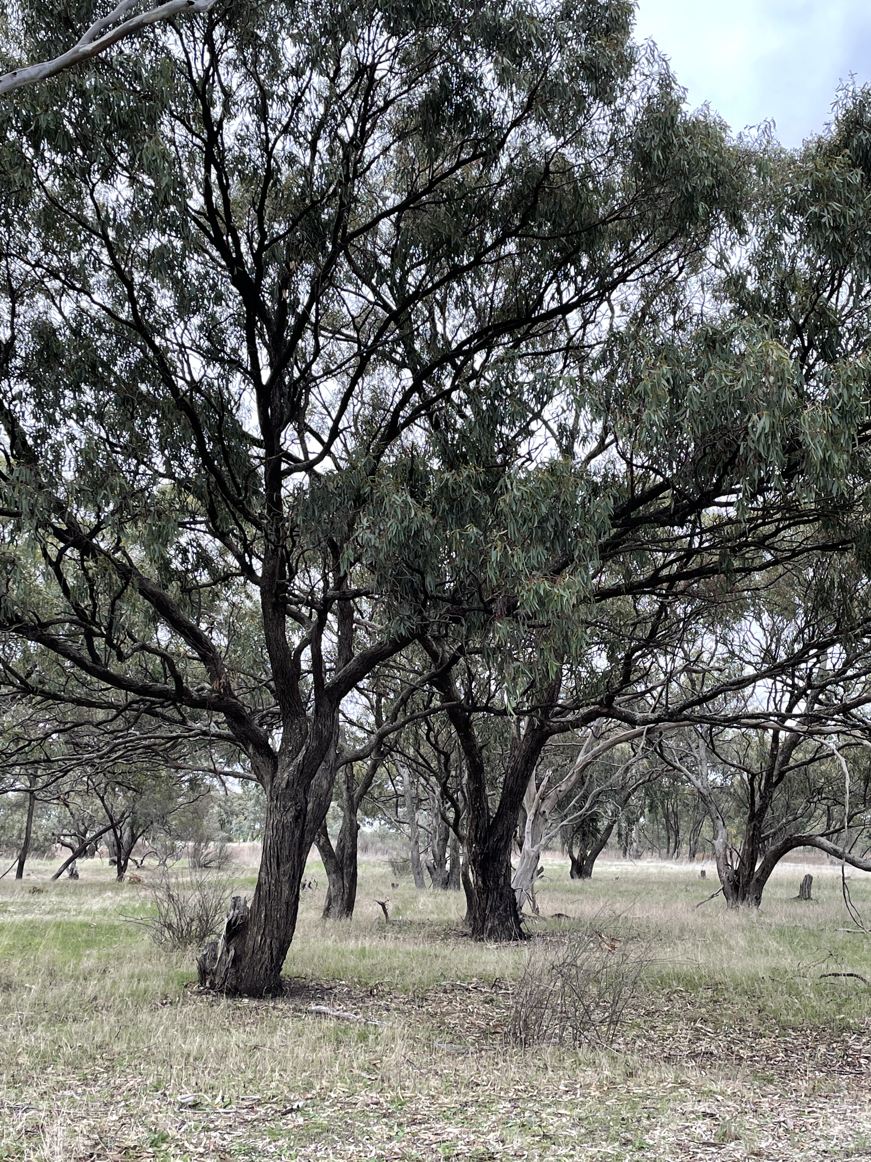
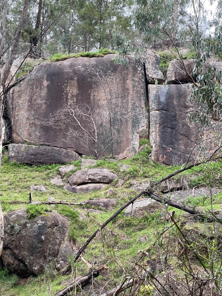
It is another short walk but an impressive one as you take a path to the rock and then skirt around its base, gradually climbing it from the northeast side. Paddy Castle is like an island in the bush and its rounded rocks do resemble tall towers

Up the top there is a peep hole in the rocks which provided a jagged vantage point to the Victoria range in the southwest.

One rock does look like a chimney or more fittingly a turret and another sits like a throne, from which to regally cast your eye across this grand kingdom. 

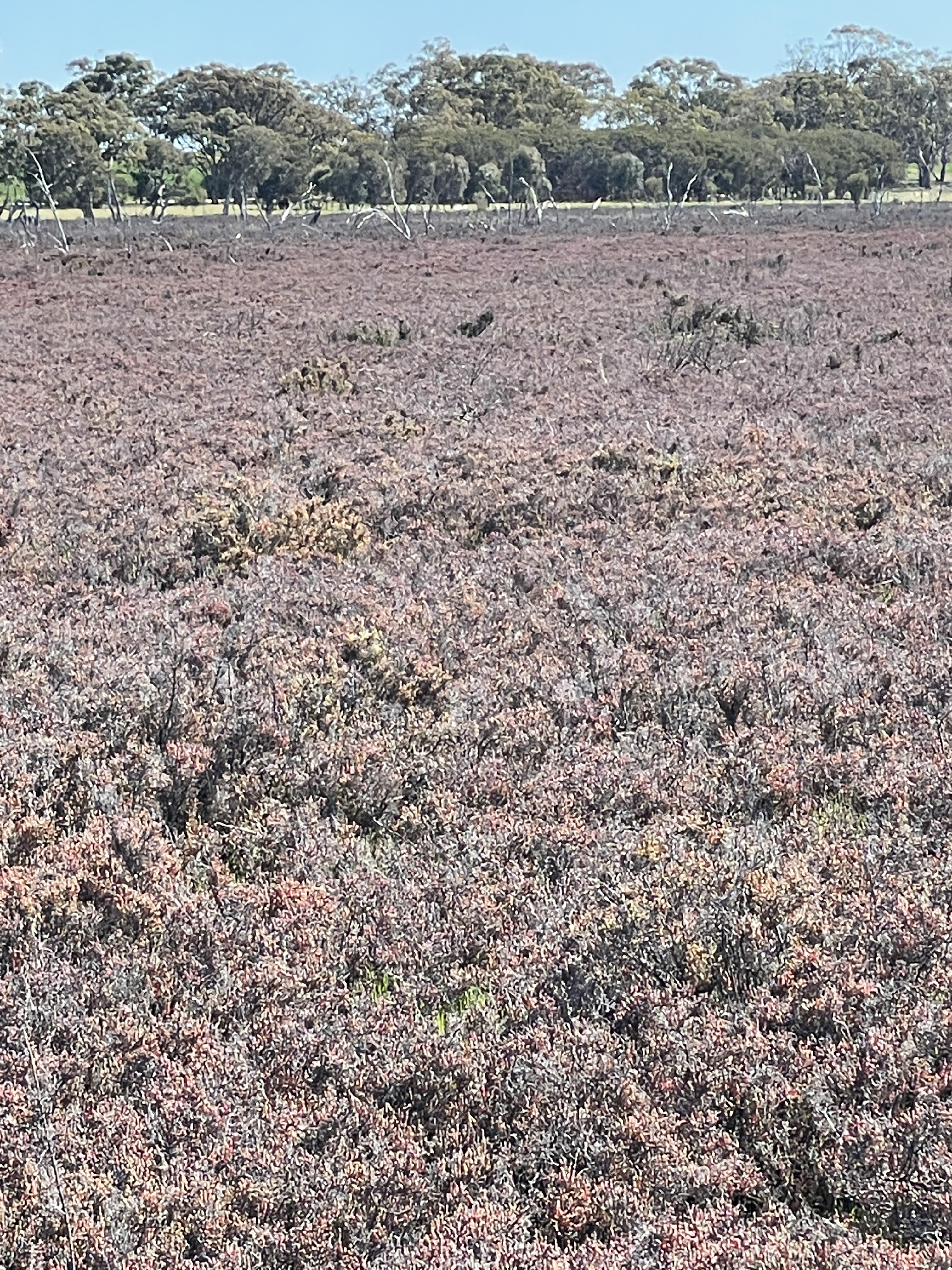
Denim mountains rise from a sea of bush that spreads across the landscape, with different views from various vantage points along the short walk across the elevated courtyard complete with bulokes.

I wonder at its significance for first nations residents over thousands of years and what Paddy – or whoever gave its current name, thought when they first climbed its rocky path and sat on that throne.

There is another Castle further down the road, which we don’t see today but, on the way, back along Lodge Road there is a fine castle wall view of the Victoria Range and its distant ‘moat’ with round swamp.

Yes it is a bit of driving but there is heaps to see on the way and the walks make nice breaks in the journey. Have fun and I hope you will agree that Gariwerd really does rock!

A few tips for these walks

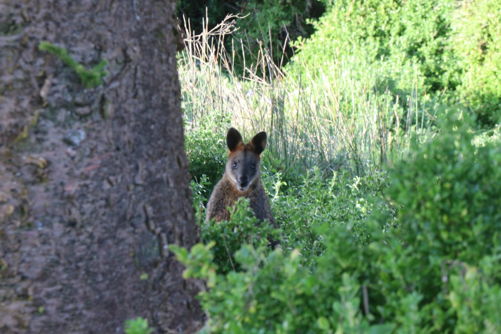
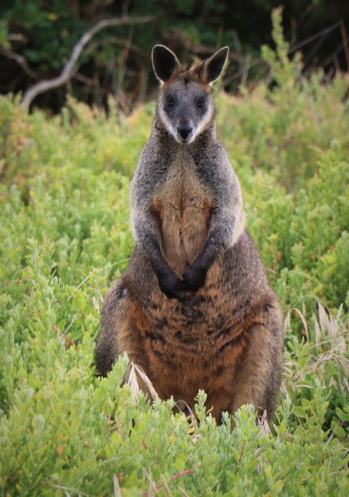
Watch out for snakes when walking and kangaroos and deer etc when driving.

Get a map and take it with you – won’t won’t have mobile range all the time.

Avoid driving after dark and also stay right away on high fire danger days.

Drive carefully on the tracks, especially 4WD as they are winding and narrow and not good for seeing ahead.

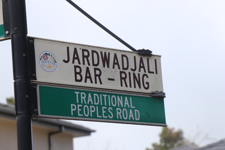
Respect the bush and respect the traditional owners on the land on which you walk – they have been the custodians of this land for 1000s of years.

Week 41 – A real Wyn Wyn situation

What- Lake Wyn Wyn

Where – Wyn Wyn road, near Natimuk.

How far –  5.24km

10 words – Escape, peace, survival, salt, endurance, stillness, butterfly haven, other world

Lake Wyn Wyn is the ultimate escape.

It takes a bit of effort finding so it is no wonder I am all alone out here

With several lakes in a row – it is part of the Douglas Depression – the roads in this area do a lot of winding across this landscape.

Head along Wyn Wyn Road until you reach the sign that says Natimuk field and game shooting range – bizarrely complete with playground – turn left and travel along a gravel road which has a stand of paperbarks on the right – near the end of these is a track which takes you to a shaded car park which is the entrance.

The track continues but I would proceed in the vehicle with cautions because once out of the trees it all changes.

It is like a vast wasteland of salt affected plants – and I would suspect snakes – so keep your eyes peeled.

At a distance the plants look like dirty pink weeds but take a closer look and they are exquisite. I think they are glass beadworts – which we saw at Pink Lakes and Oliver – and they really do look like vertical freestanding strings of beads.

This is clay country so don’t attempt to drive if there has been even a hint of rain. The straight grey tracks lead to the water’s edge and are flanked by a fencline of wrinkled wooden posts. These posts are old but appear to have been preserved by the salt – a change from the hungry white ants that attack most other unprotected timber in the Wimmera.

I head along the track for a couple of hundred metres and get to the shoreline. We visited Wyn Wyn’s neighbour Oliver earlier in the year but it was dry. Not so with Wyn Wyn which offers a shining sheet of water at the end of this road.

But not very much if the water level sign is anything to go by. It optimistically can measure up to 2.9m. You wish wish – Wyn Wyn. Twenty-nine cm is probably a stretch today.

I could paddle in the briny pond and find out but the Wimmera grey clay is resisting.

Any bit of wet shoreline sticks to my boots so I just can’t get too close.

I can’t find an origin to the lake name. Considering the spelling and that the same word is repeated twice, Wyn Wyn might be an Aboriginal name but my research did not find any concrete evidence of this.  There was a reference to Wi/lam-wyn (camplhut fire) mentioned in another part of Victoria, with wyn possibly referring to fire.  I can imagine some fiery sunsets reflected on these still waters.

I head back to solid ground and notice that everything is preserved with salt, the half-buried blonde lumps of driftwood, crusty cracks on the drying bank, bones and the aged posts – weathered but upright thanks to the determined clay.

Google tells of dozens of bird sightings over the years with 88 listed between Natimuk Lake and Lake Wyn Wyn. Up to 20,000 banded stilts have also congregated in the right conditions and a number of rare birds seen.

Find out more about birds here

Above the sky is endless blue, still and empty – apart from one moment when one bird hovers above – possibly a brown falcon which is common around here.

There are no big congregations of banded stilts– in fact I don’t think I saw one bird out on the water the whole day. Maybe it is too shallow or too early or too late in the year. Who knows.

I do see some bird tracks in one spot and watch where a kangaroo raced towards the lake only to do a quick u-turn in the mud!

But you don’t need the birds to enjoy his sensory paradise.

Just shut your eyes and smell the salt, listen to the sheer silence and the feel the warmth of a sun that is free of shade and intensifies as it reflects off a salty pad.  

0pen eyes take in the bright colours and stark, vast lake-scape, with a backdrop of Mount Arapiles – Dyuritte and green spring crops.

The soul feels that liberating sense of being completely alone in a peaceful place.

You could imagine some bizarre outback crime movie being shot here. Or Wyn Wyn appealing to people who want that absolute escape.

I come to a possible inflow area which still holds a bit of water. I have read how Natimuk lake overflows and then the water runs to Wyn Wyn. Natimuk is very much dry now but there are quite a few hills which would no doubt produce run off with the right rains.

I keep walking until I reach a fence and here, having heard parts of the lake front on to private land, I decide to turn back.

Mind you I am quite intrigued by all the bush on the opposite side of the lake and hope to do some more exploring some other time.

Apparently this area is home to the rare golden rayed blue butterfly which lives on the creeping boobialla plant. Several years ago, there was a push to clear some of the paperbarks to ensure the boobialla could grow and provide habitat for the butterfly.

I have also read accounts of sightings in January 2008 so there is certainly more research and exploring to be done, today on my walk I don’t see any of the plant or any butterflies.

What I do see are the waves of salt on the shore. I see how salt makes the whole area sparkle when hit by the sun and how the sun just  beams on the flat still lake.

I see distant golden canola crops, the lines of different colours and textures between water, clay, hills and bush.

Wyn Wyn is a unique. Quiet, empty, still and vast. The perfect escape from the crazy world of 2021.

Update spring 2022 – Wyn Wyn with water

Week 40 – Open door and open space at Ratzcatle

What – Lake Ratzcastle Reserve, lake, camping with toilets and shower.

Where – Goroke Harrow Road, 10km South of Goroke.

How long – There are several tracks, we did a 2.2 km walk around the main lake.

10 words – A sandy castle where everyone can  walk, sup and lodge.

We did not see Ratzcastle in all her glory but she was still worth seeing.

It was cold, the lake half empty and the grey, breezy day only inspired a short 2.2km walk.

In spite of this, Ratzcastle Lake Reserve is an unexpected and noble treasure, perched in sandy scrub 10km south of Goroke.

The intriguing name apparently dates from 19th Century London. Spelt Ratscatle by the English it was “the night-house where all kind of low people meet to sup and lodge,” and a refuge for run aways.

(Find out more about that here )

Makes we wonder who scarpered here to lodge in the past. Bushrangers perhaps, or criminals who took advantage of the nearby no-man’s land that stretched along the disputed SA-Victorian border for decades from the mid 1850s?

Today as we visit, after another lockdown for regional people ends, there are likely some modern day COVID-runaways, happy to legally escape to this haven more than 5km from home.

The cars that surround the undercover area, and the laughter spilling from its open walls, suggests I might be right!

Ratzcastle has no turrets or obvious rodents or criminals, but there is a toilet and a shower, the undercover meeting area and plenty of free picnic and camping areas. Mostly this is thanks to the local Lions Club and I believe and you can make donations to its upkeep at the supermarket in nearby Goroke.

Heading for a walk around the lake and I am struck by the sand. It is everywhere which is not surprising as we are not too far from the Little Desert.  This sand – and the water that sits here in wet years – probably saved the island of bush from being cleared for farming unlike many adjoining paddocks.

But rather than messy scrub, Ratzcastle provides a natural parkland with plenty of camping spots under the large shady trees that line the water’s edge.

We follow the track around the lake and come to dry section – probably the shallow end.

Walking across the sandy bed and you can see just how deep it sometimes gets. Dark areas nearly a metre up trunks suggest some pretty good water in the right year.

Some trees also have big scars and I wonder who else used supped and lodged here before white fellas arrive and what name they gave this place.

Skeletons of dead trees in the middle also suggests some victims of environmental drownings when extra water arrived after land clearing.

From the dry lake and we return to the partially-filled one which hosts to a massive flock of ducks – maybe we should call it Duxcastle today?

They don’t like visitors and take to the sky in a noisy mass as we approach. After a COVID-interrupted duck season these birds have definitely found some princely accommodation in Ratzcastle and are doing well. And by the number of ducklings in toe, have produced some heirs as well.

There are some grand old trees around the shore and plenty of bush beyond to explore which is likely to home to plenty of kangaroos.

Before we know it, we are back at the main camp site. The sky once again fills with a swaying swarm of anxious ducks keen to get back to their floating and feasting up the other end.

They are the kings of this castle today.

We take the 2km track back to the Goroke Harrow Road and head 10km north to Goroke – which some sources say is an Aboriginal word for Magpie –  to see some more birds on the local silos.

The aptly chosen magpie, plus a kookaburra and galah – are impressive and we stop for a look.

We might not have seen Ratzcastle at its fullest today but someone who did has made a beautiful video of their camping there at a full lake.

Watch the video here

Hopefully it will encourage you to one day runaway to West Wimmera and sup and lodge at this right royal camp in the sand.

Week 39 – On the trail for Public Art

What – Public Art Trail, Horsham

Where – Wimmera River Adventure Island car park to CBD and back

How far – 5.2km round trip.

10 words – Art is everywhere, good for the soul and worth a walk

Art is all around us.

The brilliance of a sunrise, the reflections on the river, the cracks in rocks or even the colors and shapes of gardens, buildings and nature that create crazy beautiful abstract compositions.

Today we take a walk in Horsham to see all sorts of public art, made by people and deliberately, but often subtly, scattered across the landscape.

It is amazing what you see when you look – and what you find when you think about what you are seeing.

Come for a walk with me and fill on this feast of public art.

We start down at the river which every day provides changing moods, color and natural art.

Not everyone will agree on my first stop – the shining silver Time Capsule standing on the edge of the path just before the car park to Adventure Island and the Anzac Bridge.

It was first created by the Horsham Leo Club in 1977 as a replica of the world globe and made from a former naval mine.

I love is the odd shape and the light and the shadows that it creates.  And it feels like transforming a bomb into the world speaks hopefully to unity, peace and rolling along as one.

It starts to rain, and the drops create a bit of art in the brown river as I head to the official Public Art Trail’s original starting point – the carpark beyond the rowing club of Eastgate Drive.

Here I find Wimmera Woven Vessels – hanging sculptures made from old fencing wire, including some retrieved after the 2011 floods.

Created by locally born artist Michael Shiell, they speak to our connections to the Wimmera River.

I am also reminded of the term about being up a certain creek “without a paddle in a barbed wire canoe” which makes this a fitting starting point as we see-saw through lockdowns and battle to steer clear of COVID.

I love the way they hang up there silently watching and reminding us of the region’s long connection – socially, sustainably and spiritually – to this stretch of water.

Next stop is the Remlaw Fire Memorial, created by local sculptor Donal Molloy Drum in 2010 and part of the Urban Forest.

The gold bird in this striking piece, which is a bit hard to see behind the Perspex screen, actually mimics the shape of the more than 2200 ha fire which was one of many on Black Saturday.

This subtle piece also speaks to our connections to the landscape and just how tenuous this relationship can be in times of a changing climate.

Looking to the river and a line of seagulls create a perfect pose on a flat rock – some fleeting natural art.

Beside me sits a mini Stone Henge-like rock pile. I have a vague recollection these might have some link to an old olive press – but I might be wrong.

The sound shell – where performing artists meet – also rates a mention. A giant piece of acoustically perfect pie perched on the open landscape.  Today, in lockdown, my solidary shadow speaks to its silent emptiness.

Across the lawn is the 2004-built War Memorial which replaced several others around town.

It is simple but also profoundly sobering when you look at long list of solidiers’ names and the extra stones, waiting to add more in the future. If more bombs became time capsules, we might not need to fill them.

Across the lawn is a small, corrugated iron shelter featuring painted creatures of the waterways and information about the Catchment Management Authority’s activities.  Might not be Louvre material but it is interesting, colorful and a fascinating read when you get inside.

Look in the windows of the Men’s Shed in O’Callaghan’s Parade and you will find original wood art for sale.

On the corner of Hamilton and Urquhart Street, Goolum Goolum Aboriginal Cooperative is a treasure trove of magnificent mosaics. On the wall outside the entrance, you find swans, kangaroos, turtles, emus and cockatoos, to name a few.

The Centre for Participation, further along Urquhart Street has a sunset on water mosaic near the main door and a many hands mural on the northern external wall.

Station Youth Centre, just up Pynsent Street, has a bright front wall mural and a ‘dancing’ mosaic near the side door.

Back in Urquhart Street, The Uniting Wimmera Wellness Centre features an impressive peacock mosaic – even if it is hard to see well behind the cover.

Roberts Avenue has some small mosaics and a painted piano- that everyone is free to play. I realise two other pieces – a totem pole and Wimmera River Burnt Creek Meeting place have disappeared after apparently succumbing to white ant attacks. Sad but not surprising in this neck of the woods.

Bradbury Lane (off Firebrace Street) has a busy and colorful 2008 mural by Nicki Clarke and Horsham Youth inspired by their thoughts on a future Horsham.  Great ideas but not sure we are there yet!

I continue up Firebrace Street to Joe’s Lane where one side features Donal Molloy Drum’s 2009 Aerial and the other a more recent mural by Stacey Reece.

I love the way the birds contrast with the sky and on the other side I am transported to a calm water down south at Clear Lake.

Across the car park to McLachlan Street, Horsham Color has several windows featuring photographs of iconic landscape scenes and then Coles’ wall in Roberts Avenue has a large mural welcoming people to Horsham.

Windows further along feature local Aboriginal Art Works. Some amazing talent highlighted here.

Down Ward Street, toward Horsham Regional Art Gallery and frames for public art are filled with faded posters from two years ago and look a little worse for wear.

The grand façade of the gallery and Town Hall stands at the end of this lane and has been used for projections in the past.

It is also well worth a visit to the Horsham Regional Art Gallery gallery (in the Town Hall) , which is open daily and rates highly among Victoria’s regional galleries. Earlier this year RACV listed it as number one and said – “Housed in a distinctive brick art-deco building, Horsham’s gallery punches above its weight on the regional scene.”

( Read more- here )

 I hope to find art along the narrow path beside the Town Hall – Gallery Alley – but this seems to have also fallen victim to two years of pandemic.

Then it is back down Darlot Street, along the waterway path called Jardwadali Bar-Ring which takes you to a scar tree sculpture and some more mosaics.

You can also duck into the gardens and view sculptures made from wood and a snakes and ladders mosaic and then take the path back through the urban forest to the car.

In summary – not only does Horsham punch above its weight with its regional art gallery there is also a gallery of free public art in this regional city. You just have to take the time to look.

Week 38 – Cop a look at the police paddock

Where – police Paddock, off Rasmussen Road, Horsham

What – series of wetlands, tracks and existing trees on the edge of Horsham. Previously used to house police horses.

How far – 2.6km

10 words – Kakadu without crocodiles and waterfalls. Peaceful, easy, birds, trees, water.

With the 5km rule in progress during lockdown and the Wimmera River walking tracks so busy it is almost hard to social distance, I head 4.9km north to explore the Police Paddock.

This is a combination of two visits – one just after rain and one where the mud had settled, and the weather was brighter.

No cops anywhere to be seen but back before cars, Police Paddocks, which is an eastern Australian term, provided a home for the trusty horses which were vital in covering large beats.

When horses became redundant many paddocks were turned into sports grounds – including the Melbourne Cricket Ground. In Horsham it has become a reserve for walking, bird watching and fishing.

It is logical that the horses would have been housed on an area with a good water source and today – years after the animals galloped into history – water is one of this area’s key features.

We pull up near the toilets – AKA water closets back in the day – and begin out Police Paddock patrol.

First we head west along the track that takes you right around all the wetlands. It has been a good winter for run off and things are looking and sounding healthy.

Local nature enthusiast *Gary Aitken describes this place as Kakadu without the crocodiles – might not be the truth, the whole truth and nothing but the truth – but this place is beautiful and peaceful.

* (see video of Gary below)

No awe-inspiring water falls but extra shrubs have been planted here and the tracks and boardwalks make it easy to navigate as you take in some arresting views.

We head north and then wind our way in a clockwise direction.

On the first day water is muddy as it has rained recently.

Gary tells us that the lime in the soil acts as purifier and he is not wrong. When we return a few weeks later all evidence of the sediment is gone and the water  crystal clear.  

Nesting boxes look down upon us from trees and on the ground a mess of lignan plants are beginning to flower.

There are also quite a few shrubs, many I suspect may have been planted, that are providing some spring colour.

I don’t think I have seen such water here for a few years and the frogs are in full song.

The green grass and reeds look waterlogged with the inflows which wind their way from Rasmussen Road, through the park.

I stop to take peak – or should I say reconnoiter- from the bird hide. Apparently, there is evidence of  79 different bird species at Police Paddock and the hide provides a perfect spot for undercover surveillance.

I can report several friendly magpies and ducks and see and hear some more timid sulphur-crested cockatoos.

The board walk goes right across the water and provides a chance to stop and inspect all the tiny plants and swimming creatures. On the second early morning visit, this water is crystal clear and reveals a blanket of flat gum leaves spread out across the waterbed.

I see some kanga tracks on parts of the path, positive proof the paddock is not just for humans and dogs.

Past the water and the track heads towards the northern boundary and through a parkland of box trees that likely date back many years.

While their shaggy grey bark seems to be falling down around them, tough old limbs reach and bend upwards with the strength and determined grace.

Collectively these grand old stalwarts stand as a strong team upholding their right be and live in this park.   

Over the fence surrounded by lines of crop is an island of squashed trees –sadly and probably jealously watching from their windswept prison.

We turn south and we notice the huge chunks of lichen on trees that line the winding trail back towards the wetlands.

A seat on this home stretch provides a great spot to sit and take in this quieter end of the park. I wonder who has walked before me, especially the people of the Wotjobaluk Nations who have lived on this landscape for 1000s of years.

A few more 100 metres through the trees, past some water and our Police Paddock patrol is done.

Nothing untoward to report.

Just one word of advice though, it would be a crime not to call in and visit some time.

AND before you do, watch Gary Aitken’s video here

Week 37 – Dooen the bridge to the weir

WHAT Riverside Bridge to old Dooen Weir, along the Wimmera River.

WHERE – Riverside Road, Horsham

HOW – Follow the Indigenous Riverside Walk and then continue along the track beside the river until you get to the weir ruins. Total distance 8km return.

10 WORDS – Peaceful, vintage river, accessible, history, Indigenous information, great trees, shrubs.

There is nothing like limited travel options to help you appreciate your own back yard.

The track from Riverside heading upstream towards Dooen is a perfect example. It has history, cultural heritage, nature, magnificent riverscape and all on the edge of town.

This area has been upgraded over the years with quite a few waterside platforms, signs and a really good track.

A bit of googling when I get home tells me it even has an official name – Riverside Indigenous Walk, (see https://walkingmaps.com.au/walk/402 )

Being upstream from the town and the Horsham weir, this is vintage Wimmera River with grand old red gums perched at the edge – even if their toes get cold sometimes with some roots poking out of the bank.

The track is a road but there is also a narrow walking track behind the barriers meandering along the riverbank.

During the first kilometre there seem to have been a lot of natives planted – possibly as part of the Indigenous Walk development – and the wattles are just a sea of yellow.

There are also quite a few other flowering shrubs and I think it will only get better once spring is in full swing.

The road, which has been shut off for winter, basically backs on to quite a few houses on acreage at River Heights and then you reach some open paddocks and a lovely little forest of spindly red gums that probably popped up after floods in the 90s.

We walk through a ford which crosses a channel or creek that may have helped drain the Dooen swamp – or been part of an irrigation project at some point in the past. A bit further on from here a track veers away from the river and will take you through more trees which lead to the Dooen Swamp Reserve area.

We keep following the river and come to what I am assuming is the Old Dooen Weir site.

It does not look like a very significant structure, but a bit of research suggests it may have been a very big and important piece of kit back in its day.

These are 1880s images of the weir which was according to this link

( ///C:/Users/Simon/Downloads/2037-3857-1-PB%20(2).pdf )

“200 feet in length between the abutments, divided by wooden standards into forty bays. The purpose served by this weir is the diversion of water into a gravitation channel 2 miles in length, from which it is raised by a steam-pumping plant through a rising main, 1.25 miles in length, into a summit reservoir of a commanding elevation. From this reservoir are supplied 155 miles of channel reticulation for the ser vice of the country lying to the north.”

The images of 130 years ago seem a world away from this place I am now standing.

You can see the aged timber remnants of the structure but the lack of trees and vast open vista in the old photos make it hard to imagine they are the same place.

I also find a reference from 1953 where the weir’s future seems bleak.

According to a Horsham Times news story the Minister had written a letter outlining the high cost of replacing the weir and noting that it was both damaged in a flood some years ago and is also servicing less irrigators than in the past. There is also reference to the new opportunities to come once Rocklands Reservoir is built.

Fast forward to 2021 and all the irrigation has ceased in the Wimmera; we have a pipeline that moves out water around and much of this comes from lakes in the Grampians.

It is almost like this place has come full circle and the river is moving back to the pace and purpose that it had for 1000s of years before white settlement. It certainly is a peaceful, beautiful place today.

The track ends here and we turn around and head back.

On the way I explore some little turn offs where grassy spaces would provide ideal picnic spots, possibly fishing or camp sites.

One stump in the river looks a bit like a monster but mostly it is just peaceful, grand old trees and quite a few birds enjoying the sunshine.

I also spend a bit more time taking a closer look at the Indigenous Walk’s jetties closer to the Riverside Bridge with signs explaining some Aboriginal words: Bidjin (meaning freshwater mussel); Wirringgal (meaning Golden Perch) and Yalam (meaning Waterhole).

It is a great spot and excellent way to have a peaceful 8km walk, along natural the river very close to town.

Week 36 – The one where we got away – Fish Falls

Where Fish Falls in Grampians Gariewerd starting from Zumsteins

How – park at the Zumsteins car park and follow the signs

What – great walk along good paths, meandering along Mackenzie River

10 words – escape, peaceful, great track, rocks, water,  awesome views and waterfalls

One last escape before lockdown was the early morning dash to Fish Falls, in Gariwerd.

My son raves about this place – including jumping off a very high cliff into the pool below.

I will be checking the water dept this morning and seeing what all the fuss is about.

We start at Zumsteins – an iconic location of many childhoods when it was home to a big mob of quiet kangaroos and was also the site of many camps before the Grampians National Park was formed.

Why the accommodation – which had its roots from Walter Zumstein a WW1 veteran and bee keeper – no longer exists was the cause of much angst in the 1980s and 1990s – but we are not going open that can of worms today.

You can find out a lot about the history of Zumsteins – on a short history walk at the site which includes brilliant old images and stories.

In short:

During the 1930s Walter and his wife built three pise, or rammed earth cottages, plus a tennis court and a large swimming pool fed by the river.

Walter charged 6 pence for a day’s swimming, collecting the fees in person and writing names in chalk on the back of an oven tray.

He planted pines and poplar trees, and built timber bridges across the river. They ran their retreat until the late 1950s.  

“He had an amazing affinity with nature, living with the animals and the bush, never trying to change it to his will.” Anne Wilksch

Walter died in 1963, and his ashes were scattered with his beloved birds and trees  at Zumsteins.

Once past Zumstein proper, we begin to follow Mackenzie River towards both Fish falls and Mackenzie falls.

Like many water ways in the district this winter, the creek is visibly flowing and the sound of running water sings a rare and beautiful song.

You can imagine families of campers waking to its sound and loving to explore the gentle stream and peaceful bush around here.

It is so  quiet, apart from the intermittent calls of the odd kookaburra, cockatoos and other birds.  

The plants are also starting to show signs of spring with golden splashes of wattle and beautiful ferns lining parts of the creek.

There is also plenty of moss and fungi, as a result of the damp stream environment and recent rain.

Impacts of dry and fiery times are also evident with faded black trunks on some trees and exposed rocky slopes where vegetation was likely scorched and slipped away in the next big rains.

This is feast or famine country territory which does not come without a few scars.

Right now the track is in feast mode – as are most at popular spots in the Grampians – with no flood or fire damage and an excellent walking surface .

Despit an early start we see about half a dozen other walkers and joggers during our trails.

It is really interesting how rocky this place is – the creek sits at the base of some steep slopes and we notice plenty of big boulders on high.

It is nearly 9am and while the fog has gone, low clouds still hang, hiding the tops of surrounding peaks.

They kind of silently speak to the global fogginess as we all battle COVID and our own immediate uncertainty with an impending lockdown.

Nothing to do but enjoy the moment.

And there is a lot to enjoy as we reach the base of fish falls.

The burnt orange rocks expose their colour and size and the white water tumbles over them into the pool below.

It’s not a dramatic, classic fall but it’s a cracker no less.

We follow some steel steps to another couple of viewing places and enjoy the sights and the sounds.

Looking back on the images it does not look typical Gariwerd and has the remote and mystical cham of deep Tasmanian forest. Makes for an even more exotic pre-lockdown escape if the think about it.

There are more flowers at the falls and some great opportunities to see the big cliff the dare devil son jumps off. I won’t think too much about that one, having watched him recover from the last calamity for the past five months.

We could have continued to Mackenzie Falls, about 1km on, but with pre-lockdown jobs to attend to and having had a great walk we, return to Zumsteins along the same route.

By 11am we are in town to the mayhem of lockdown starting in just 2 hours – thanks Fish Falls for a great escape which made the finals hours of freedom so peaceful and special.

And thanks Walter Zumstein for having the vision and love of nature to preserve and share this beautiful place for some many years in your day.

Week 35 – This little island is a treasure

What – Griffiths Island Port Fairy

Where – just past the wharf and over the causeway

How – free and open but keep to the track be mindful of where you walk, especially when the mutton birds are here.

10 words – Wallabies, birds, waves, fresh air, sand, history, rocks, escape

(PLEASE NOTE – this walk was done the same weekend as Tower Hill and was NOT done during lockdown)

If you have been to Port Fairy you have probably been to Griffiths Island – 1.5km long and less than 1km wide it seems like just an unassuming point where the river meets the sea.

Nothing could be further from the truth.

Yes it is small but it has an ocean of stories to tell about rabbits and goats, wallabies, mutton birds, missions, whalers and waves lapping at the lighthouse door.

Come for a walk with me and I will reveal all.

Griffiths was apparently known as Moleen by the local Gunditjmara Peoples –  and while it was visited by the local mob I could not find a lot more detail of why and how they connected with it.

Gunditjmara are  traditionally river and lake people and this island sits at the mouth of the Moyne river which has its origins in lava flows 82km upstream at Penshurst .

The first white settlers came in the mid 1830s and chose Griffiths as a base for their short-lived whaling operations that ended in 1843. That decade it was also the site of ship construction with The Brothers built here in 1847.

For a short time in the 1850s, widow and colourful character Flora Dunlop turned the abandoned whaling station buildings into a sort of ‘mission’ for young Aboriginal children.  The operation, which included a house, farm, schoolroom and dormitory, closed in 1854.

Back then the island was separated from the mainland but now it is as simple as walking across a concrete for access.

Map showing original islands – sourced from the Griffith’s Island brochure

The water from The passage, to the west, passes beneath as we cross. There are many things to see in and near the clear water.

Once across we are on the island – which was originally three islands. We arrive on the original Goat Island and follow the path south to a very rocky shore on the other side. If you look closely you will see burrows in the vegetation. They are empty in winter but in spring they come to life with the return of resident owners – mutton birds fresh from a flight half way round the world.

These birds work like clockwork – returning within days of September 22, mating mid November and leaving again in April. They also feed out at sea during the day and all arrive home about dusk – at the same time. It is like a scene from ‘The birds’ as they arrive en masse at sunset.

The path takes you to the sea on the south side which has many rocks – I think this actually has a name Daisy Miller Island and the hill behind us also has the same name.

It feels like you are a world away from the mainland as you trek along the shoreline – looking to rocks and wandering big sandy beaches. This part is likely the original Griffiths Island, by far the bigger of the three islands.

At one point there is a little bay which seems to be ringed by rocks – possibly a former breakwater.

We also pass the old quarry which may have supplied rock for the 1860s training walls and the breakwater which, with landfill, joined the islands.

We have now reached Rabbit Island – and the eastern most point where we find 1859 lighthouse.

Erected at sea level, it rises almost eleven metres above high water mark and features a spiral stone staircase, with each step inserted in a course of stonework in the outside wall.

Back in the day it was not easy to get to the island and you had to be pretty self-sufficient – even though you were shouting distance from the town.

Huge Haldane was the lighthouse keeper from the 1929-1953 and recorded his memories.

“Big seas could cut the island off and also make it difficult to get in and out of the lighthouse. Sometimes waves were at the bottom of the door, ” he said.

“My boys were fisherman and they set about building two fishing boats, in the area behind the cottages. We launched them in the bay at the north. There was a garden for vegetables and flowers, and we kept a cow, fowls and pigs (though I didn’t like them). “


While the house is long gone the Norfolk Island pines Hugh planted remain.

Today the most obvious residents are wallabies who coexist with thousands of tourists passing by and taking their photographs.

Like the lighthouse, they stand quiet and still watching the world go by.

Once past the lighthouse, the ‘training wall’ takes us back to the causeway.

Griffith Island is a short walk, but one with diversity, history, smiling wallabies and plenty of life.

Week 34 – Hope lives here at the riverine highway’s end

What – Lake Corrong – beside Lake Lascelles at Hopetoun

Where – Hopetoun, enter via Lake Lascelles

How far: It was 5km skirting along the western edge of Lake Corrong and back via Rifle Butts road.

10 words – Corrong- vast, dry, big clouds beautfiul; Lascelles – busy, vibrant, full, great sunset

Despite many hot days and dry years, Hopetoun – like its name – is often a place of optimism.

I came here in the millennium drought to report on hopeful locals lobbying for water to transform their empty lake. It had hardly rained for a decade, water was in short supply and the prospects seemed slim.

But today, 13-14 years later, not only does that lake get filled annually but the place is virtually overflowing with caravans – grey nomads on the move or COVID escapees who happened to be on holiday when the city lockdown set in.

Right now that sort of optimism is criticial – with half the country locked down and the Delta variant spreading like a nasty rumour across the landscape.

So, today I will take you to another example of hope – the dry lake next door – Lake Corrong which is lucky to fill once a decade.

Corrong possibly means bark canoe and the lake may also have been known as Yarrik by the local Weerigia peoples, according to difference sources.

As well as a lake, Lake Corrong was the moniker for a huge sheep station held by Edward Lascelles in the late 1800s and the springboard for his much-touted closer settlement scheme in this district.

Any one who could picture small farms thriving out here in the late 1800s needed hope and by all accounts, Lascelles was a man of vision and positivity which earned him the title of ‘Father of the Mallee’ .

For Me Lascelles was also the boss of my great great great uncle John Dalton who managed Lake Corrong – right here where I am today – until his death in 1893.

John was just three when the Tipperary Daltons, who were likely potato famine escapees, landed at Melbourne in 1853.

The Daltons settled at Inverleigh, near Geelong, within 30 years both John’s mother and father were dead, the latter having perished in a tragic house fire.

John and his brother William – my great great grandfather, both ended up as farm managers on big properties in the Wimmera southern Mallee.

William lived at the start of Yarriambiack Creek managing Longerenong Station and John at the end, where it spills into Lake Corrong.

John had, with great support from Lascelles, been an early adopter of phosphorous laced grain to poison rabbits which were a major pest in the late 1800s.

Phosphorous poisoning however was not for the faint-hearted with the risk of blowing yourself up and starting bushfires if you got it wrong. Google also tells me there are quite a few short and long-term health risks from exposure to its fumes.

I am not sure how big Lake Corrong station was under John’ leadership but in 1890 there were 60,000 sheep to shear on it and neighbouring Lake Tyrell – as well as a shearers’ strike!

Managing this property would have been a massive job, in a harsh, unknown and isolated environment and sadly John died of  ‘disease of the brain’ in late 1893.  He was 43 and left behind a wife and eight children aged from 5-22. Whether he had a breakdown or indeed contracted disease is not clear.

So, today I am proudly and optimistically, walking this dry lake in the footsteps of my great great great uncle John.

I park at Lake Lascelles and walk past the impressive communal kitchen, field bins and other accommodation – a project started when the lake was empty.

There is also a big sign telling me the history of the area. which leads me down a rough, muddy track towards Lake Corrong.

Everything changes on this track.  It is blissfully peaceful, there are spindly tough trees in all directions and the sounds of singing birds.  A group of noisy miners almost pose for photographs – enjoying the late afternoon sunshine too much to worry about me.

I just I hope I’m on the right track and will get back before dark…… I wonder if John felt the same way some days out here.

It has been raining recently and the road still has a few puddles. Drying mud shines in some places or cracks in dramatic, yet artistic, ways. There are also some deep kanga prints which would have taken the spring out of their step – or bounce.

All this lovely moisture has been good for plants too, which look happy and healthy.

After about 1km, I reach the lake –  100s of hectares of empty paddock as far as the eye can see.

Yarriambiack Creek rarely flows these days and it has been a decade since Corrong last filled.

Dry it may be but there is something wonderful about this spot. Grand clouds linger above – almost watching over it or commanding respect for the ground below them.

I wonder how many times John walked or rode this track and what he thought when he looked at the clouds and the lake.

I also get to thinking about traditional owners – The Werrigia – and what significance Lake Corrong held for them.

The information board talked of young Aboriginal boy ‘Jowley’ adopted by an early Lake Corrong lesee after his family tragically died,  but what of Jowley’s extended family and community? What did HIS great great great uncle see and do? What traditional stories are associated with this lake?

I find a possible answer in a Yarriamabiack Shire heritage study which says: “the focus of Aboriginal settlement on the Yarriambiack was the destination point of this riverine highway, the watering hole, meeting place and regional trading hub at Lake Coorong. (Massola, 1969:112) Taylor (1996:16) also refers to Lake Corrong as a major meeting place, known also by its Aboriginal name of ‘Yarrik’.”

You can just imagine the local mobs doing business, trade and yarning under those big white clouds back in the day.

After another 10 minutes following the track north, I come to another fork in the road and turn west back towards the other lake.

There is a patch of red Mallee soil and I feel like I am on the high ground looking down into a wetland that was possibly a lake overflow. Trees on the elevated ground have dark trunks and those on the swamp country are pale grey.

Looks like good kangaroo country and sure enough, I see their silhouettes through the trees.

I also notice lots of moss just shimmering in the late afternoon sun; the world seems a pretty good place right now.

I follow the track back to Lake Lascelles and around its shoreline  – and its many human guests – to the northern end and my car. 

The evening sun teams up with the still water to make, reeds, trees and even thistles beautiful.

I hope John and his family also found time to pause and enjoy the sun on the water and that their existence was more than hard work and hardship.

With the walk over, I follow the Yarriambiack Creek’s ‘riverine highway’ south back towards Horsham.

On the way it occurs to me that something was missing on today’s adventure –  rabbits. Perhaps a family spirit walked with me today and is sending me a message: “Yes it was hard and I paid the ultimate price –  but all hope was not lost – I took plenty of those bloody rabbits with me!”

Week 33 – A Towering example of vision

What – Tower Hill

Where – next door to Koroit in south west Victoria

How – just turn off Princes Highway. There are many different walking options.

10 words – living example of massive – destruction, reconstruction, art, dreaming, achieving, contrasts

I always feared Tower Hill.

Someone had crashed over the side in the early 1970s and I would plead with mum not to take the route along its edge on the way home from Warrnambool.

A year or two after, my older sisters were part of a mass regional effort to re-plant the extinct volcano with its original vegetation.

As a young journalist, I interviewed the bloke who drove the tractor to prepare the dirt for planting.

They were frightening recollections of working at precarious angles –probably with no roll bar – on the edge of that very steep and much-feared (by me) cliff.

He also told of his frustration at never managing to kill the last Tower Hill rabbit. Doubt he was alone there.

Today I happily return to this place of past childhood angst to check out some of Chris and Kate’s – and 1000s of other 1970s high school kids’ – handiwork.

On the the land of Gunditjmara peoples, Tower Hill is a dormant volcano which last erupted 35,000 years ago and represents one of the world’s few remaining nested Maar volcanoes.

Perched beside Australia’s Number One highway and surrounded by cleared, flat green paddocks – it is a hilly, bush oasis.

In 1855 early European settler James Dawson – who farmed on Kangatong near Hawkesdale and developed great friendships with the local first nations peoples – recognised its value as “one of the most beautiful and interesting specimens of extinct volcanoes in Victoria.”

He commissioned artist Eugene von Guerard to paint it, in what would be a big and valuable move, especially a century later.

In 1857  writer James Bonwick  was calling for it be made an ‘everlasting reserve’. He raved about the leafy shrubs, trees that formed delightful bowers, gigantic ferns and almost tropical reeds.

This was about the same time the shallow swamp was dammed – stopping eels from entering the lake – to be followed by clearing, burning and grazing in the 1860s and 1870s.

When Dawson returned in 1891 his ‘beautiful lake’ was drained, quarried and overrun with thistles, boxweed and rabbits.

Charles Kingsford Smith flew a plane over it in 1932 and in the 1950s it was the scene of car racing and shooting.

Tower Hill before replanting – images source Worn Gundidj Enterprises 

That could have been the end of the story if Fisheries officer Max Downes had not begun a restoration project in 1960.  Max happened up von Geurard’s painting with the original rendition of its tea trees, wattles, banksias and Eucalypts.

Using the painting as a guide, he and his team oversaw the volunteer planting of more than a quarter of a million trees and shrubs between 1964 and 1984.

Today I am doing two quick walks – in between the rain. The first is up to the highest peak which is not really that high but should be fun.

After all my obscure Wimmera reserves, it is weird following at track that is virtually concrete path all the way.

And there are many people about – a vast contrast to my often solo adventures.

The tracks are all well sign-posted too and there a heaps of big trees but the understorey does give clue to the century of neglect. So many weeds including stinging nettles and huge thistles, as well as blue forget-me-nots.

There are also a lot of dead trees – which might be something to do with one big plant-out over 20 years; resulting in many plants beginning to die at the same time four to five decades later.

It is still an amazing testament to human endeavour and organisation.

Half way up the hill I pass an old crater filled with trees but still showing some of the brilliant burnt orange volcanic soil.

The views on this walk are breath-taking – as is the climb up the long ramp – literally. At one point you can see the scarred wall where the quarry once was, contrasted with the lush brilliance of the flowering wattles.

Beyond this is a distant estuary tucked beside sand dunes and then open sea on the other side.

Then you turn your attentions north to lines of both big houses and neatly-planted pine trees  assembled at the top of the cliff.

This is still a place of many contrasts.

Heading back, I can’t help but notice the weeds as well as a blue wren, wallaby and magpie that seem to pose for photographs – two sides to this recreated bush. The emus are also particularly friendly – and I have heard very keen to take whatever unsuspecting visitors wave in their path.

My second trek is a boardwalk around the lake area.

It is all just so lush. The lichen and mosses are abundant and the bright orange fungi just thriving this winter.

Tower Hill might be full of people but it so peaceful and I see what James Bonwick meant about the “leafy shrubs, trees that formed delightful bowers, gigantic ferns and almost tropical reeds” . I hear some emus but only get to see the backs of them running away.

As the rain intensifies and I get back to the car I give thanks to James, Euegene and later Max for their keen observations and vision in helping ensure that Tower Hill is still here and thriving – despite all that has been thrown at it over many years.