Week 12 – A tiny taste of the Mallee Murray

The big river looks several footy fields wide

What – 6km of riverside tracks

Where – 60km West of Mildura on the Murray River. On Latji Latji, Ngintait and Nyeri Nyeri country

10 words – Lush, surprising, diverse, tiny taste of big river, plains, history.

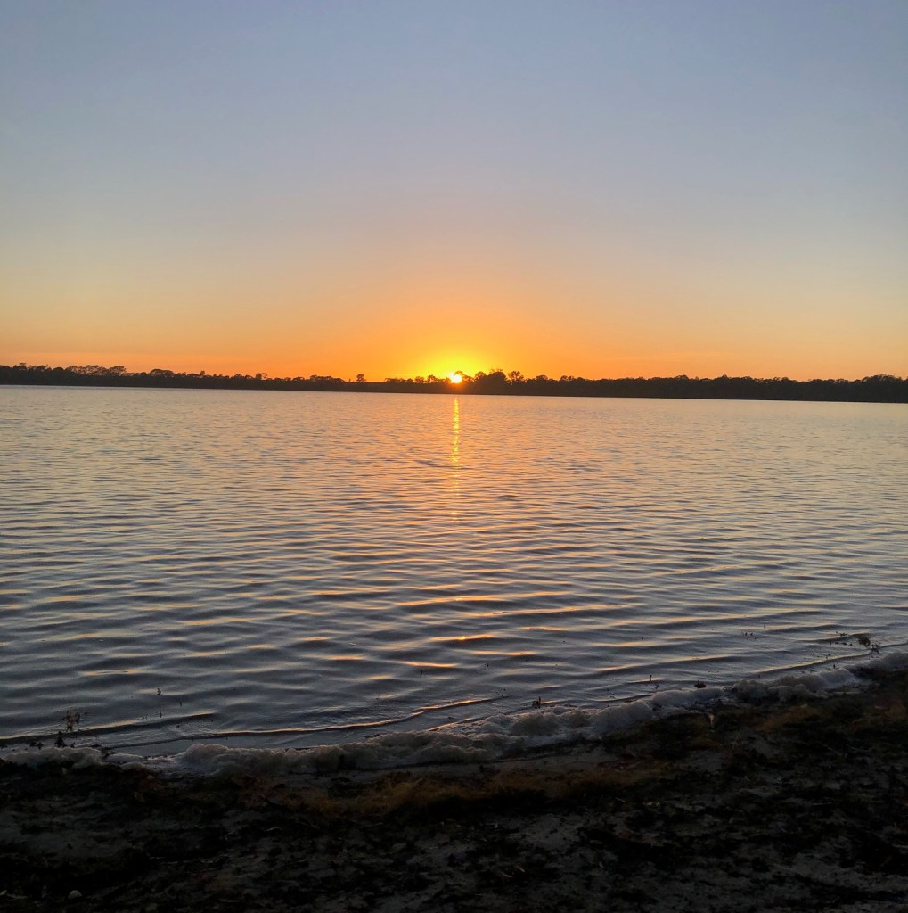
We’re on a northern road trip this week to the Mighty Murray River.

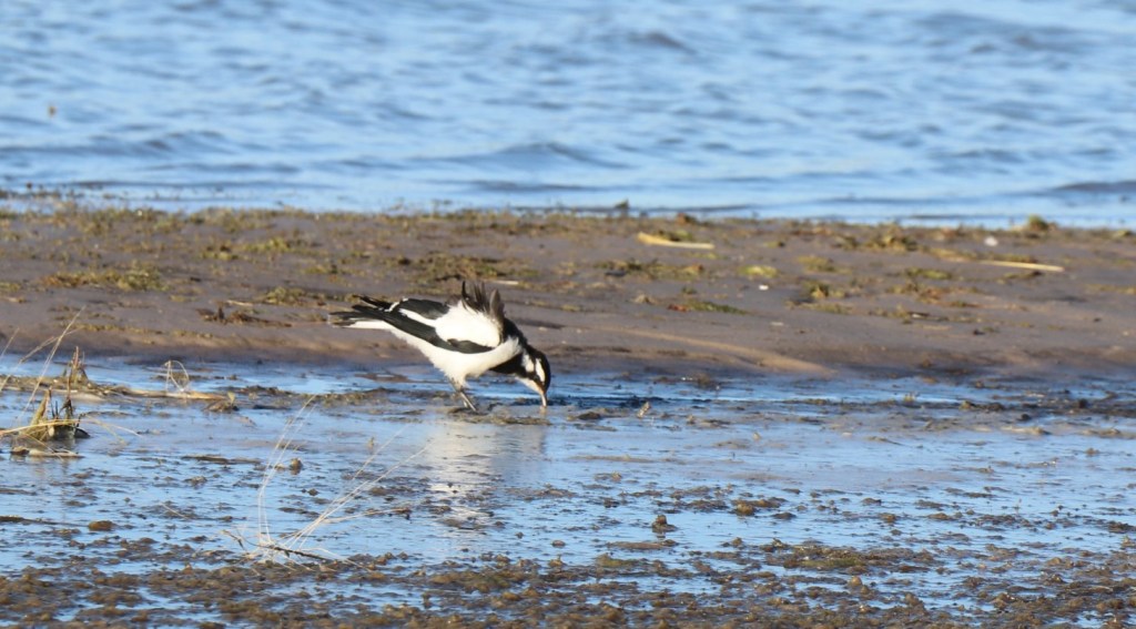
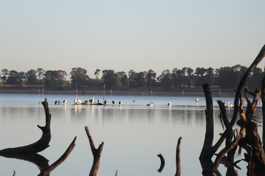
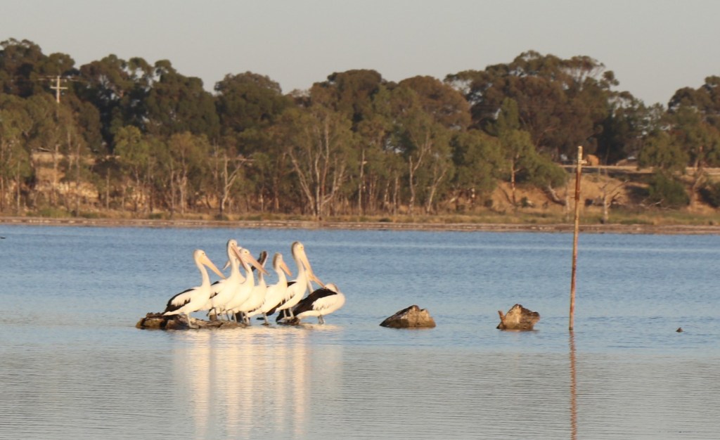
And not just the foodbowl oasis that is Mildura  – although here I was spellbound by two pelicans almost tying themselves in knots as they cleaned their features and slept.

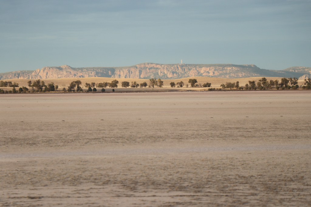
No, this week’s walk is 60km west of Mildura where we get out teeth into a tiny stretch of river on the ancient Ned’s Corner flood plain.

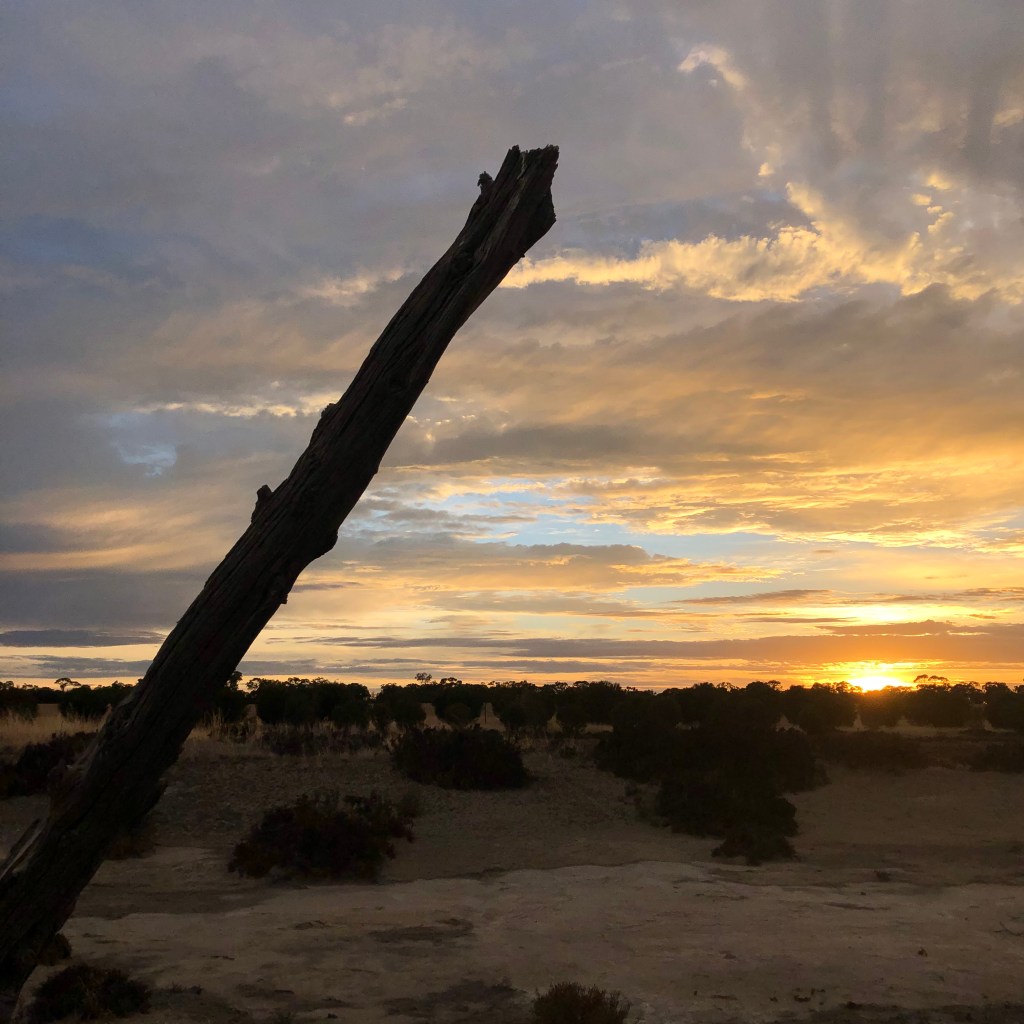
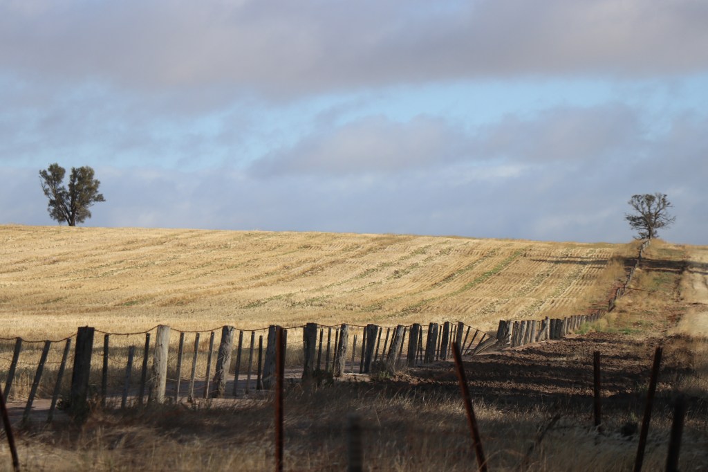
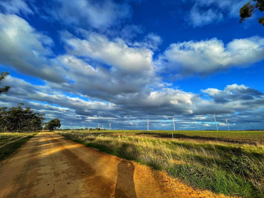
Many would consider it a long, boring flat drive from Mildura, but I am struck by the diversity.

One minute you are in the suburbs; then passing mop-haired grape vines jammed between houses, sheds and shops; then yellow signs warn to prepare to stop and turn your lights on in dust storms’and its all desert – big skies, pumpkin paddocks and straight roads.

One highlight is a trio of willy willy’s – nature’s whirling dervishes dressed today in apricot.

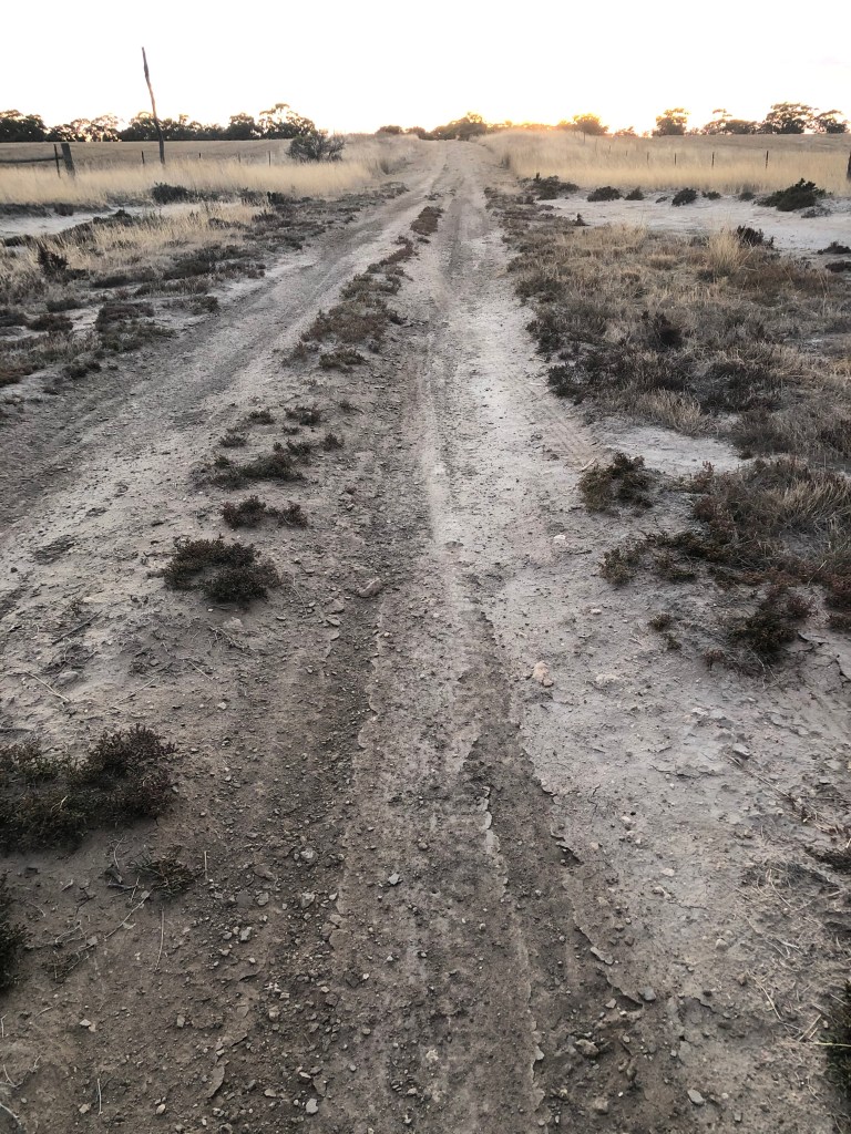
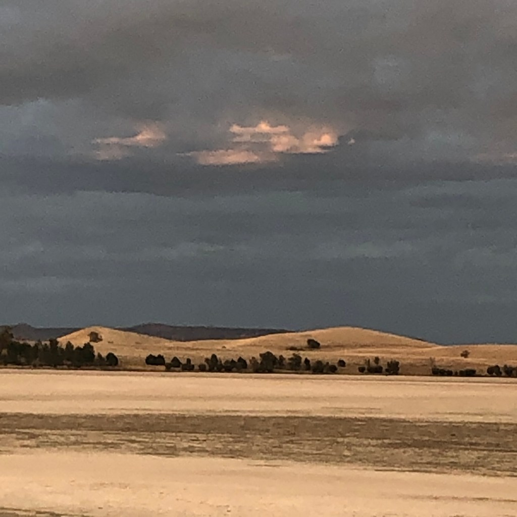
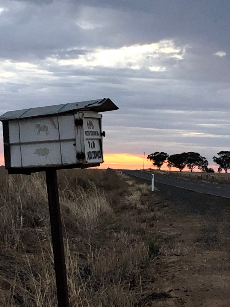
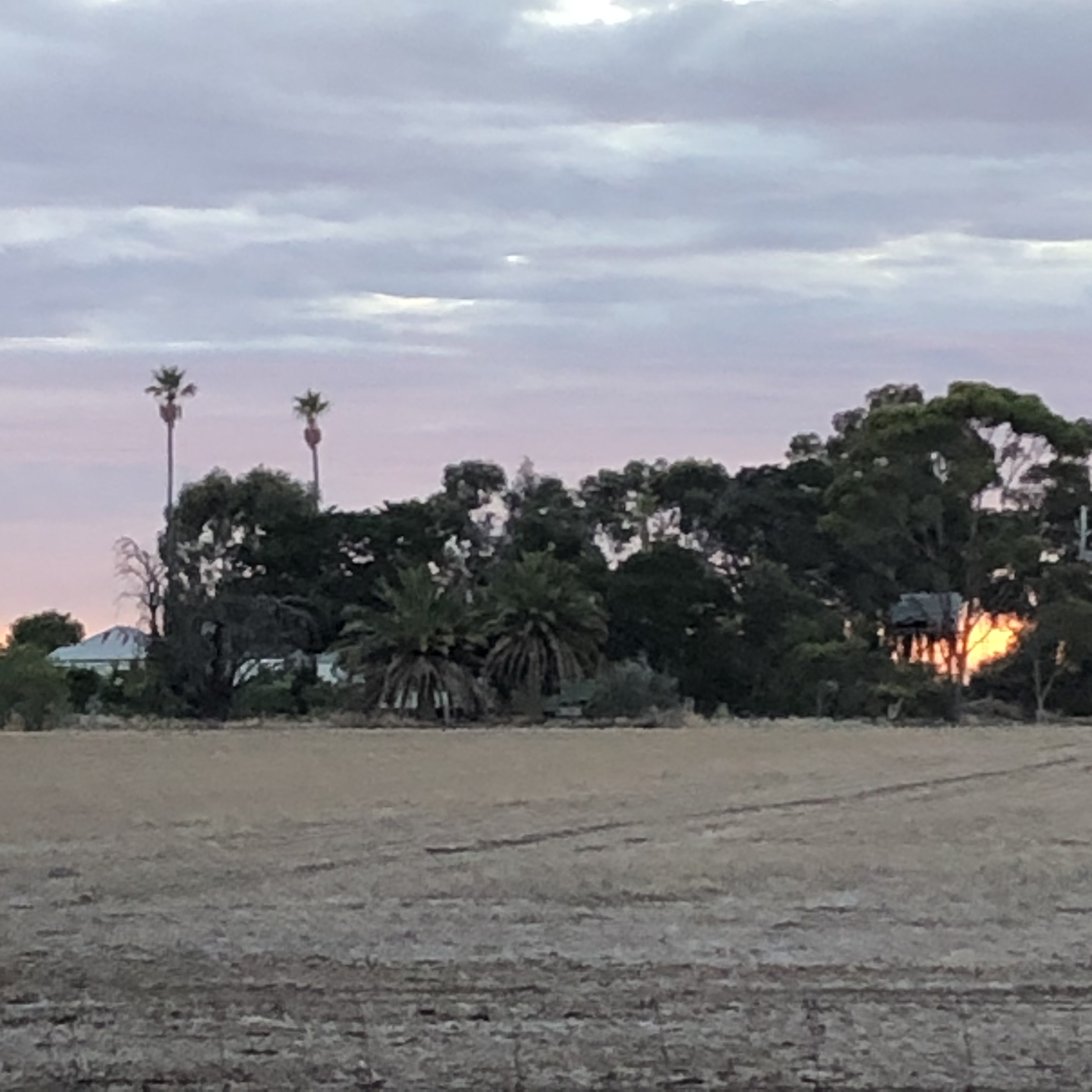
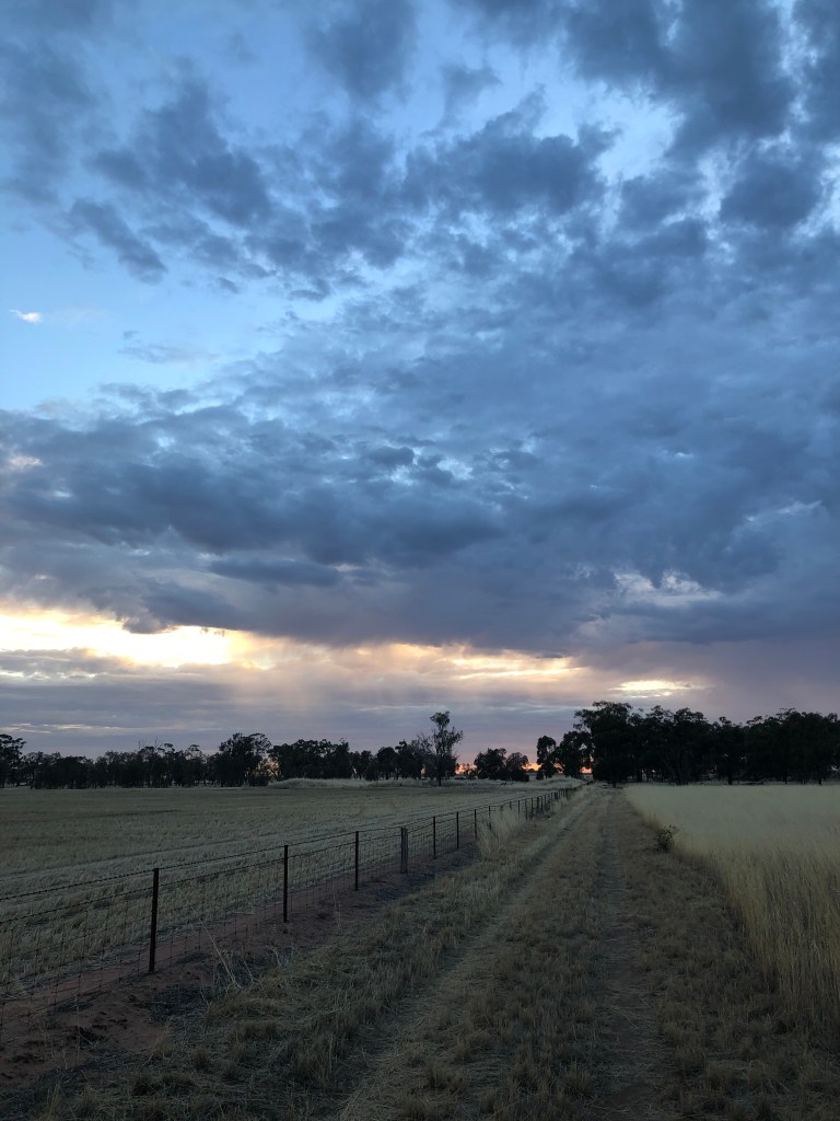
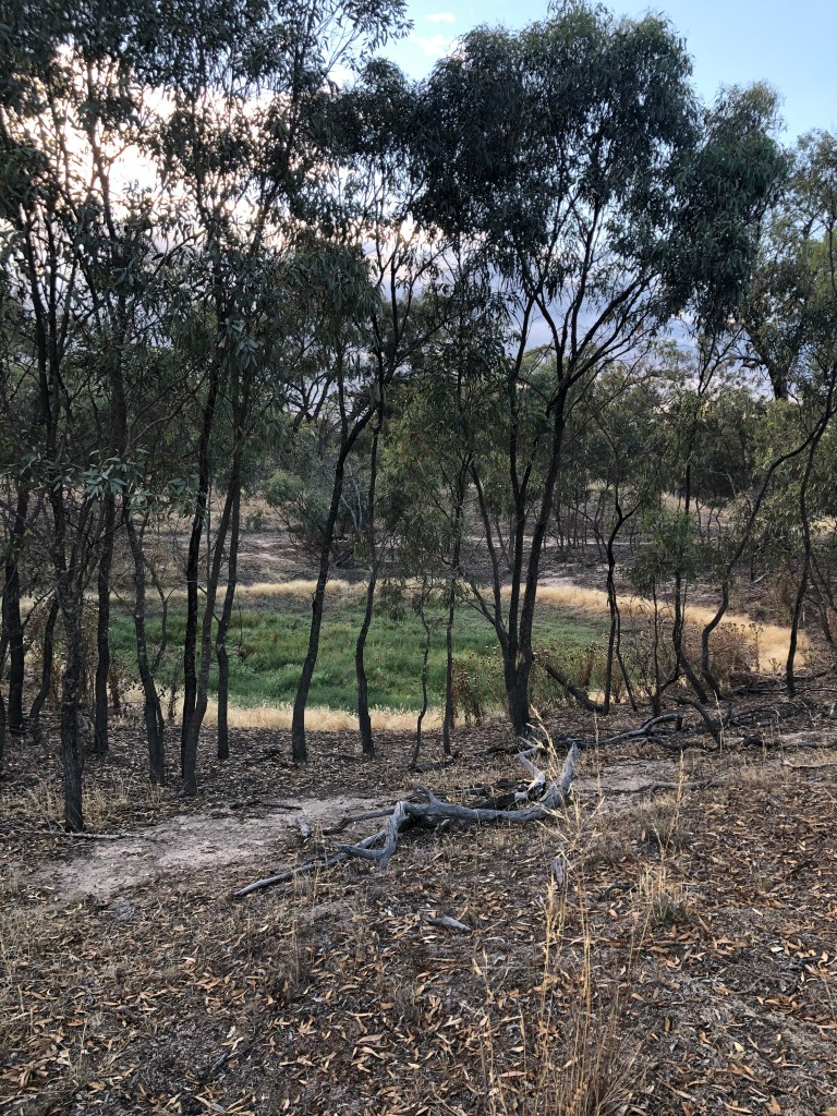
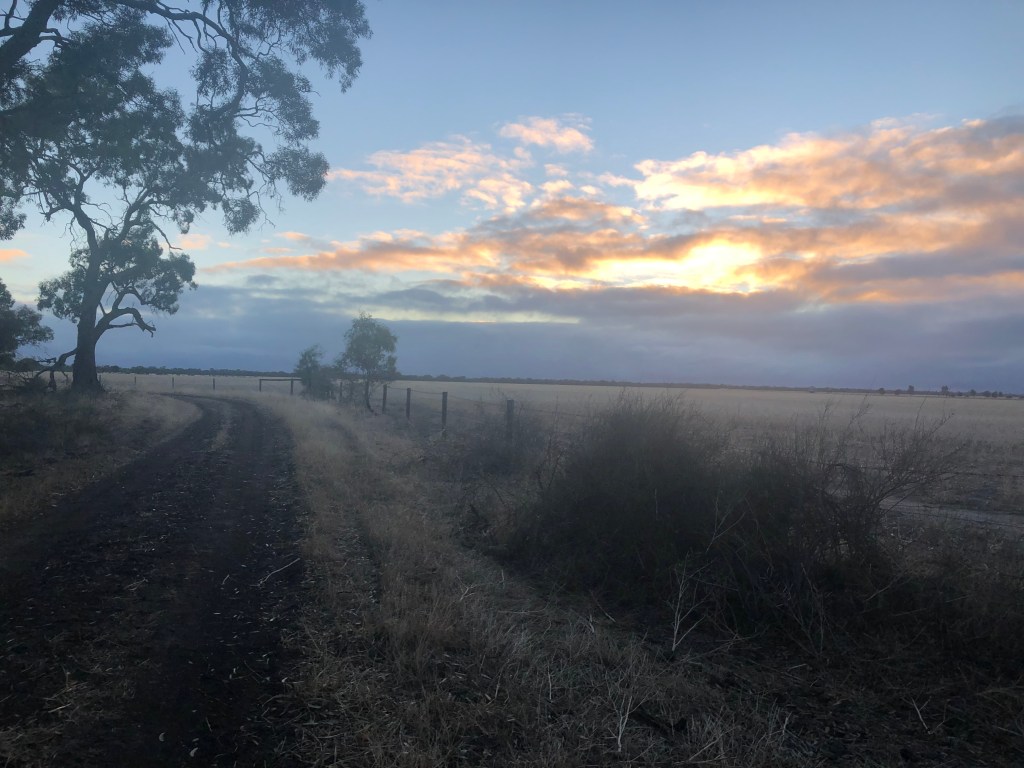
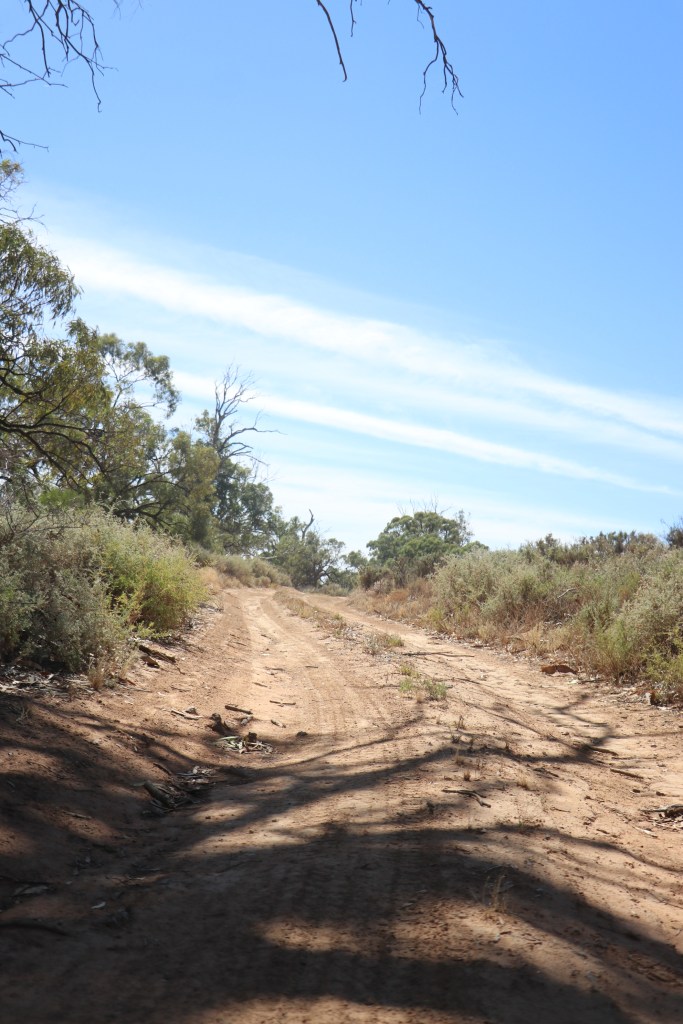
Then the landscape comes to life again.  Tens of 1000s of big green trees on the left followed by well-irrigated Culluleraine sports grounds on the right. We turn left onto Lock 9 Road and head north through salt bush and dust to the Murray.

Our starting point is Ned’s Corner – a bend in the river where 170 years ago shepherd Ned found a sanctuary for his sheep.

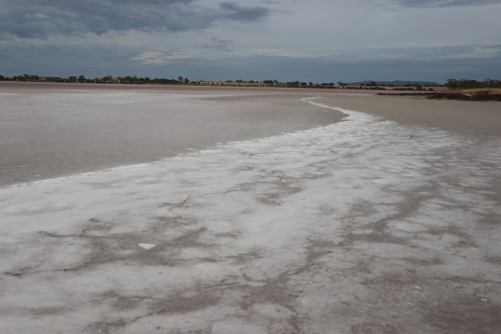
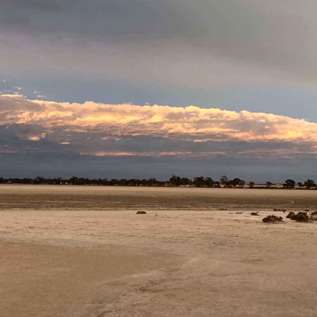
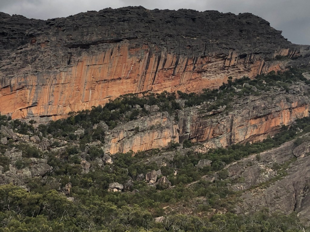
From the ground the place seems like a standard mix of river, salt bush the odd red gum.  But satellite images show marvellous marbling in white, grey and black that is long-lost riverbeds, anabranches and billabongs from an ancient river bed many kilometres wide.
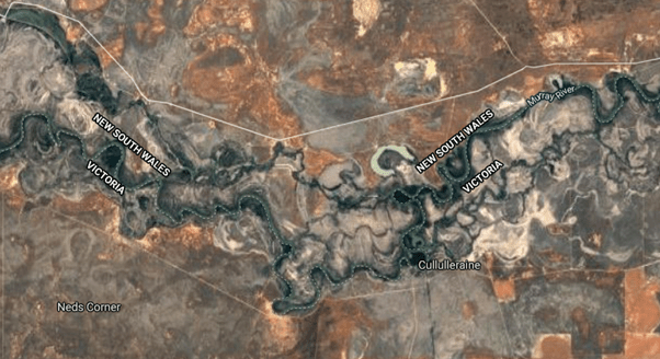
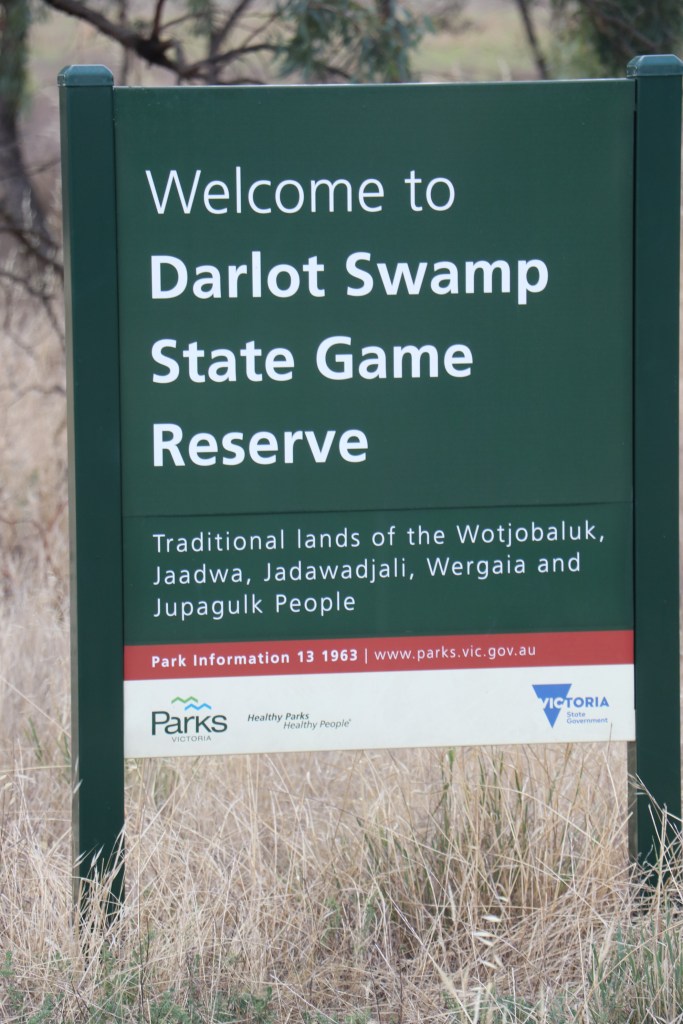
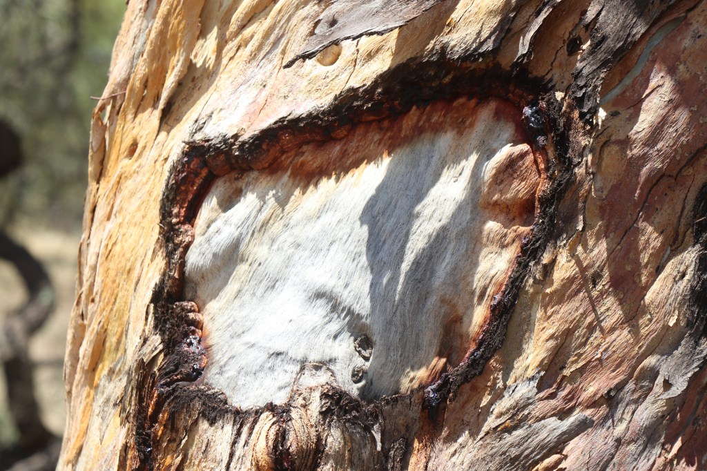
This is Latji Latji, Ngintait and Nyeri Nyeri country and their history is alive through scar trees, oven mounds, fireplaces, stone tool artefacts and shell middens.

From mid 1800s, white fellas named this Ned’s Corner and used the land to run sheep. In 1991 part of district became Murray Sunset National Park and nine years later Trust for Nature bought the 30,000 ha Ned’s Corner property to conserve this unique landscape.

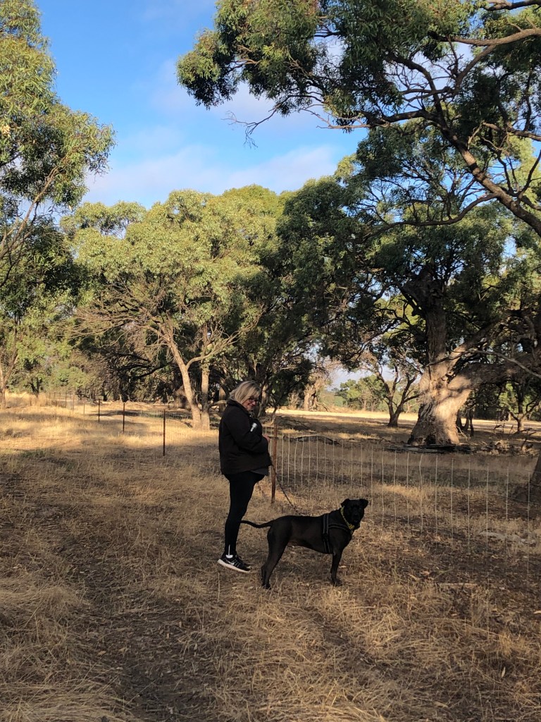
Two things are immediately obvious when I step out of the care. Ned re-discovered a great place and it was definitely worth conserving.

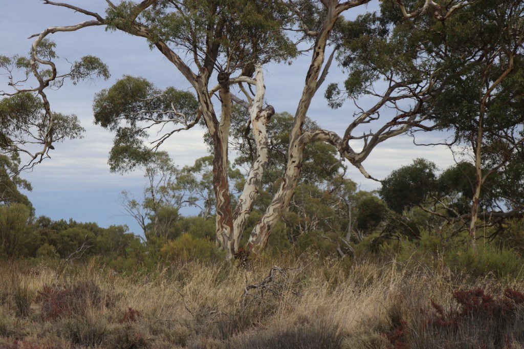
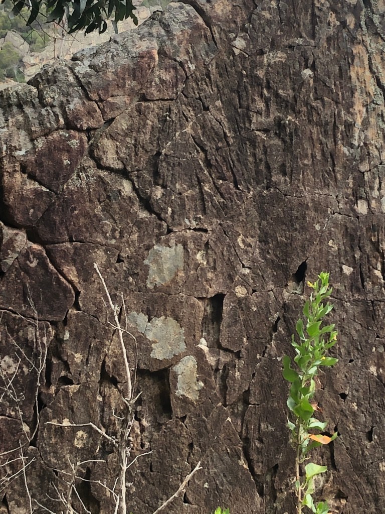
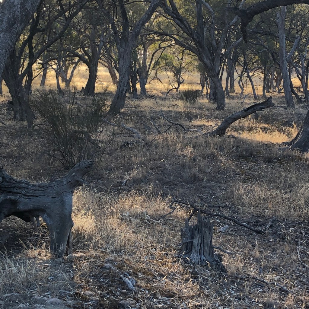
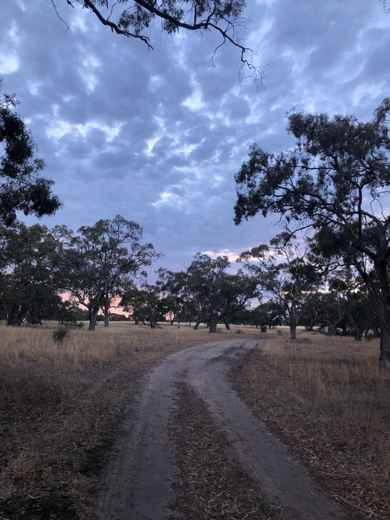
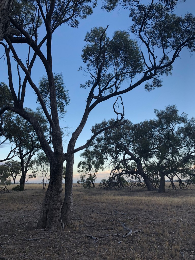
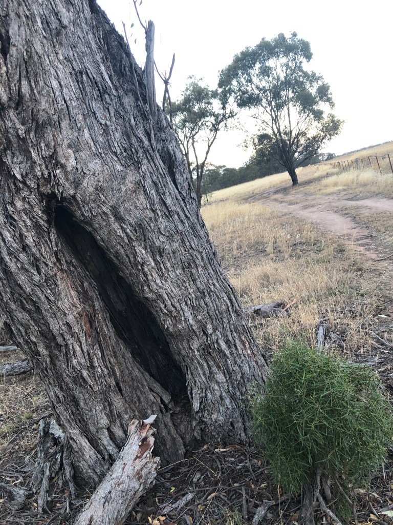
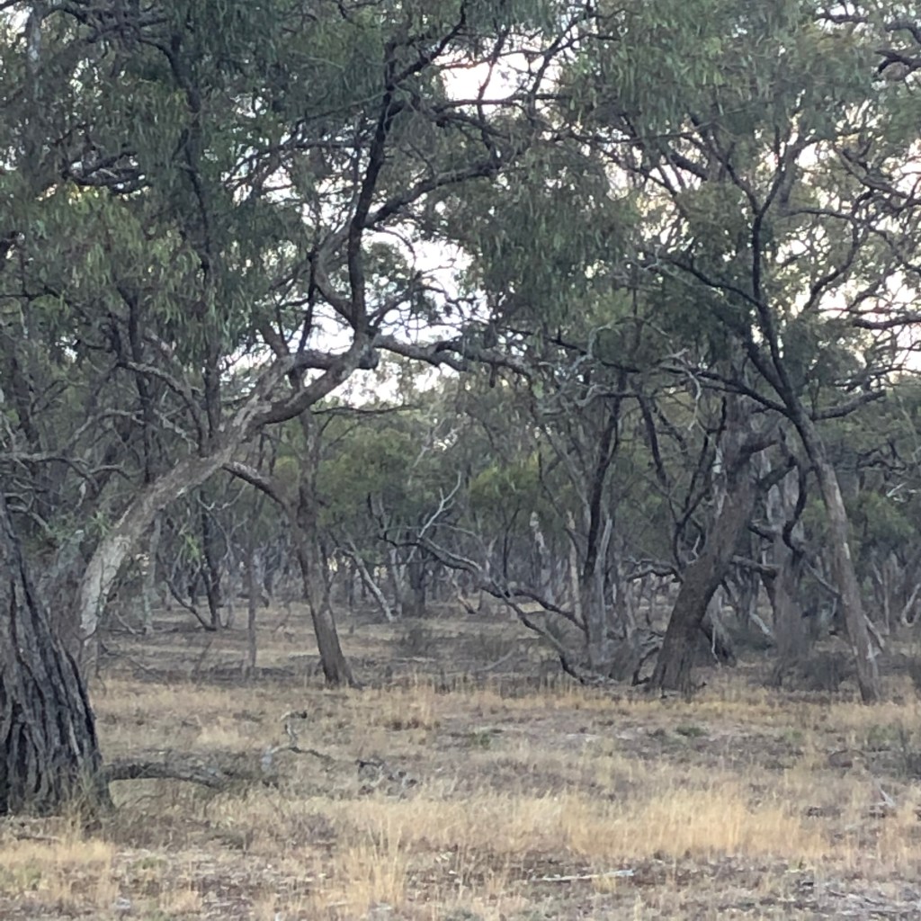
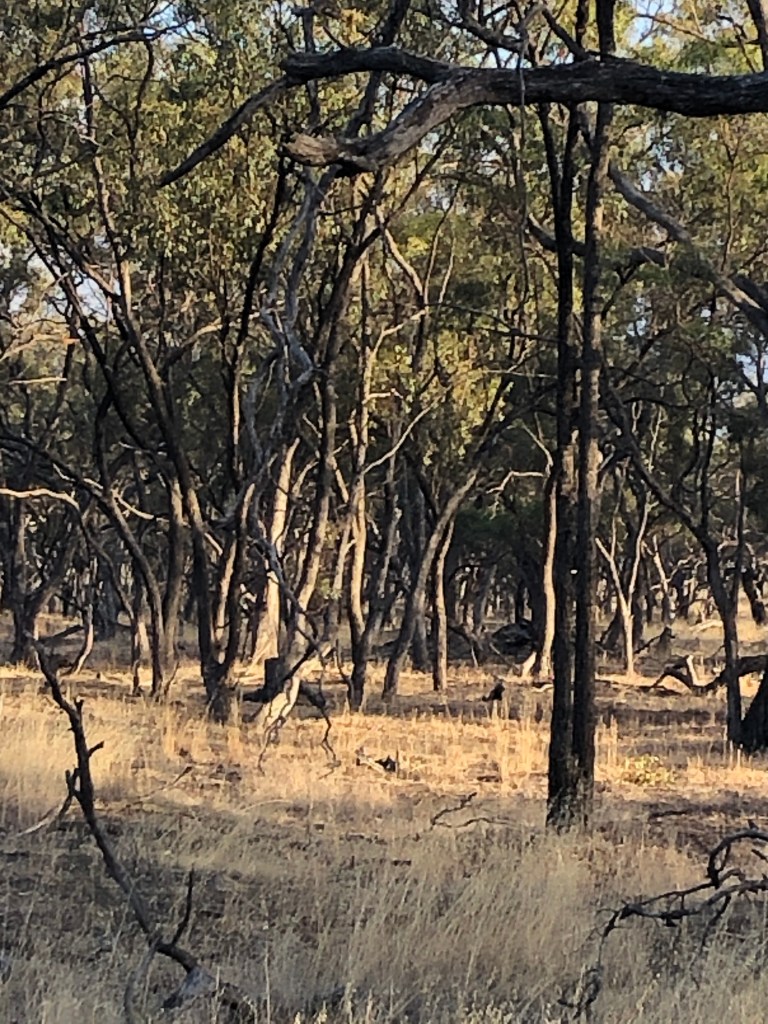
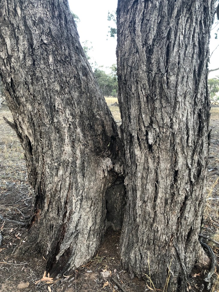
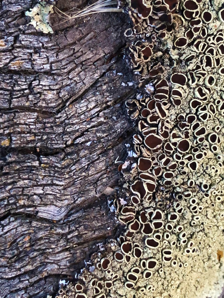
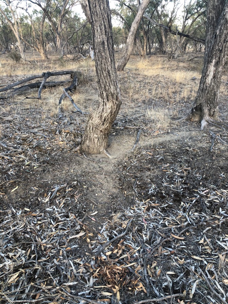
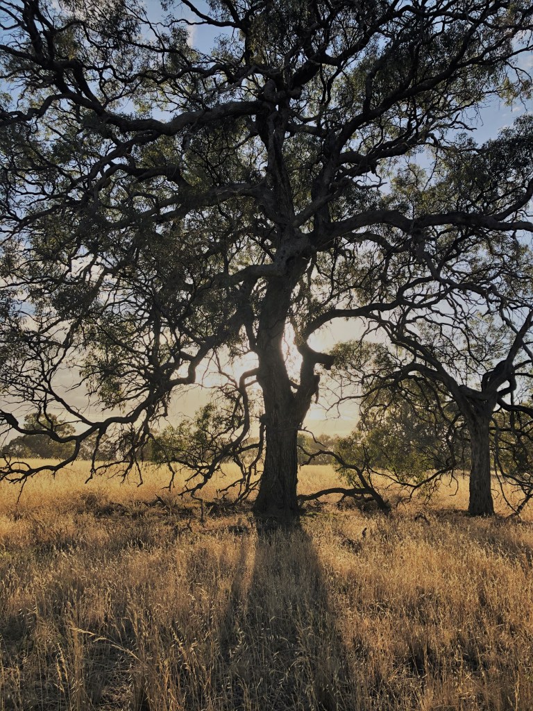
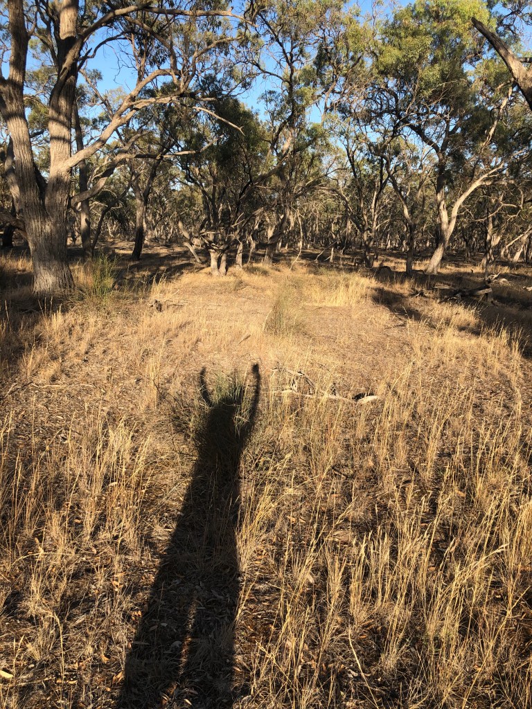
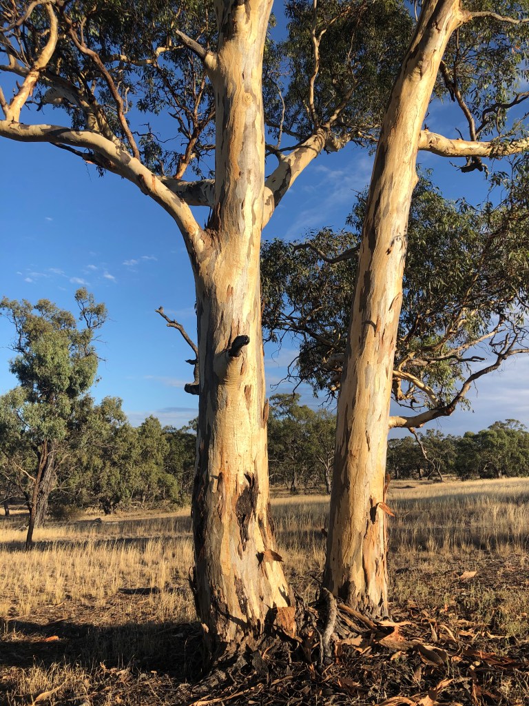
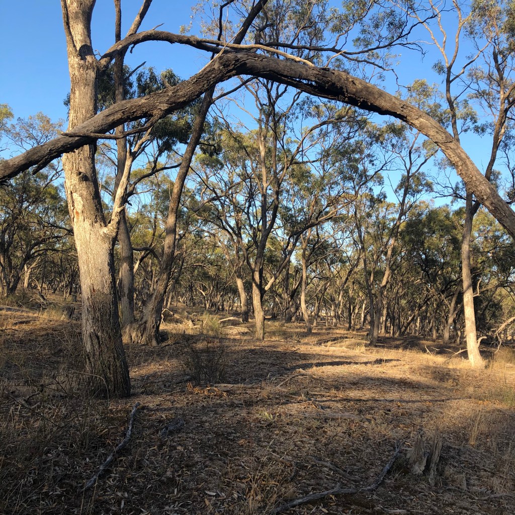
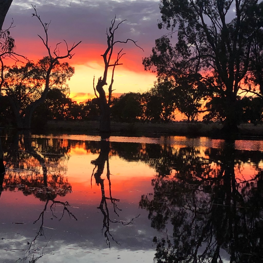
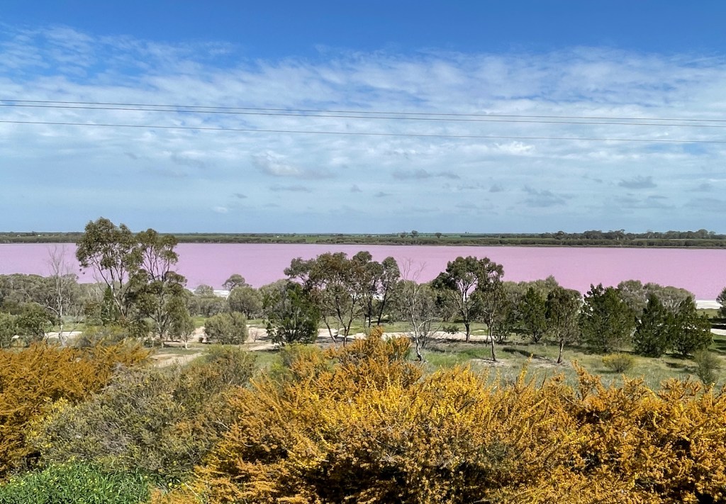
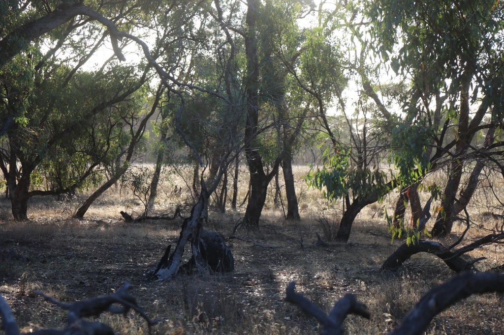
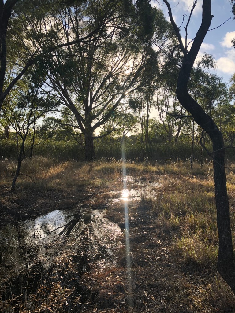
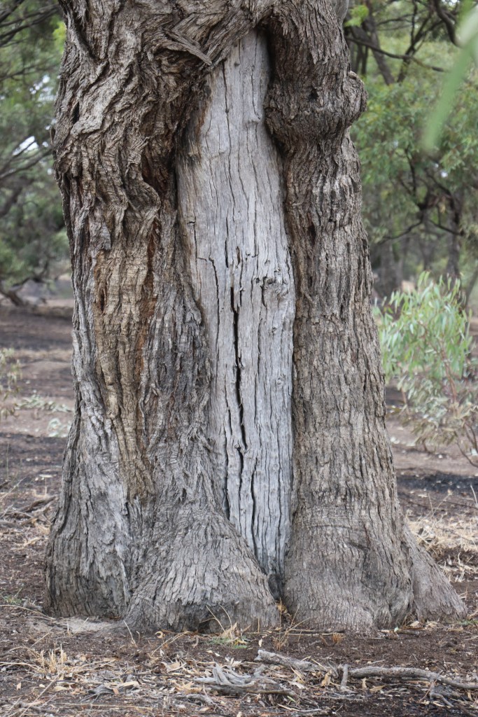
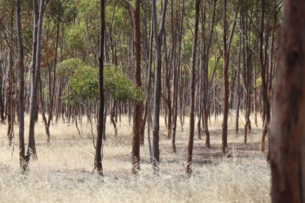
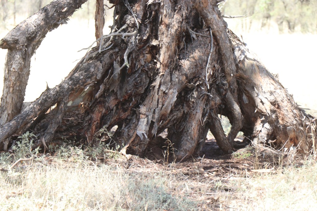
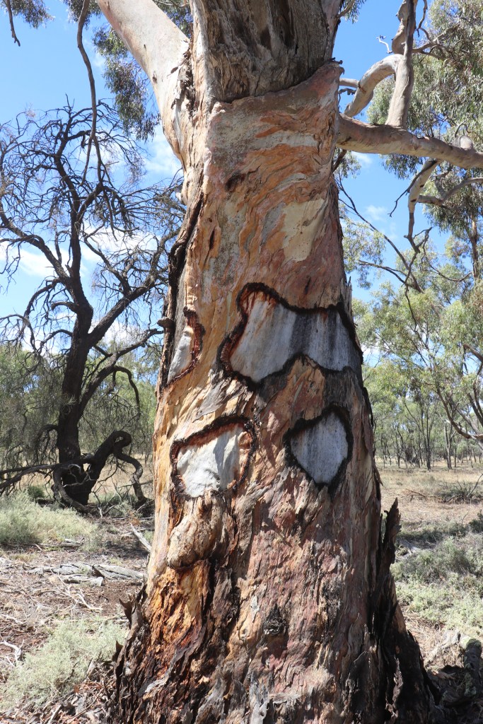
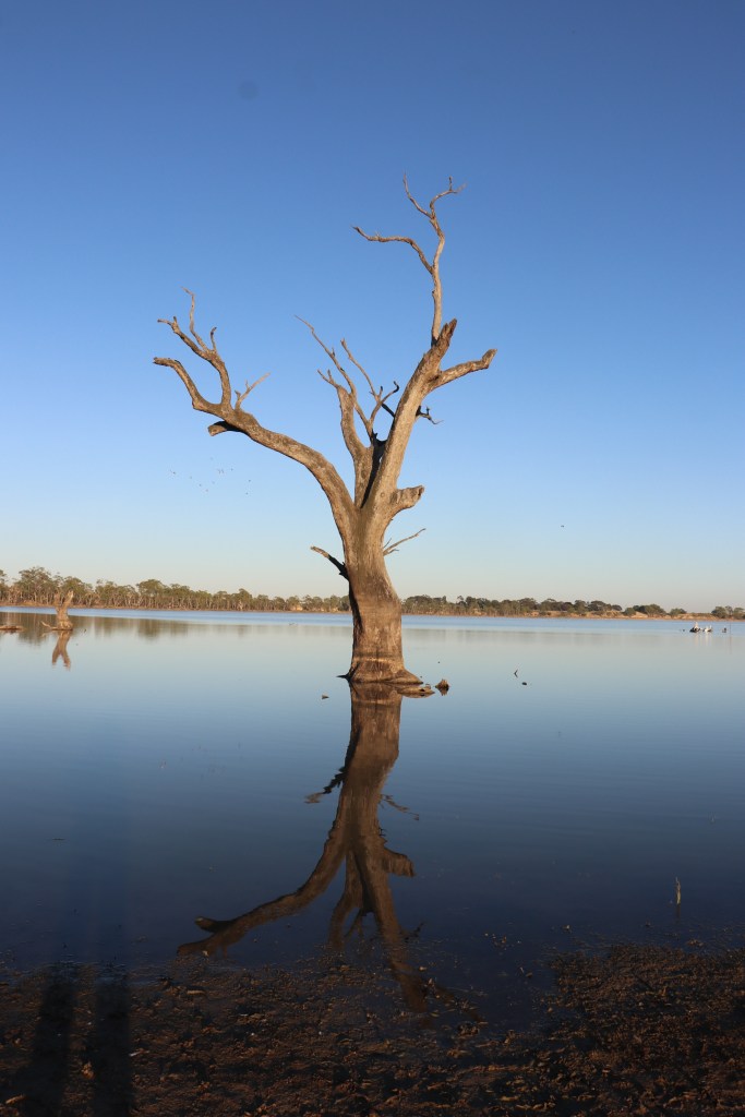
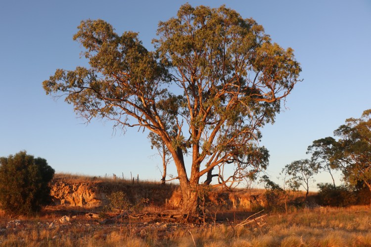
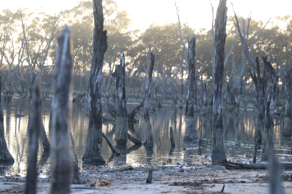
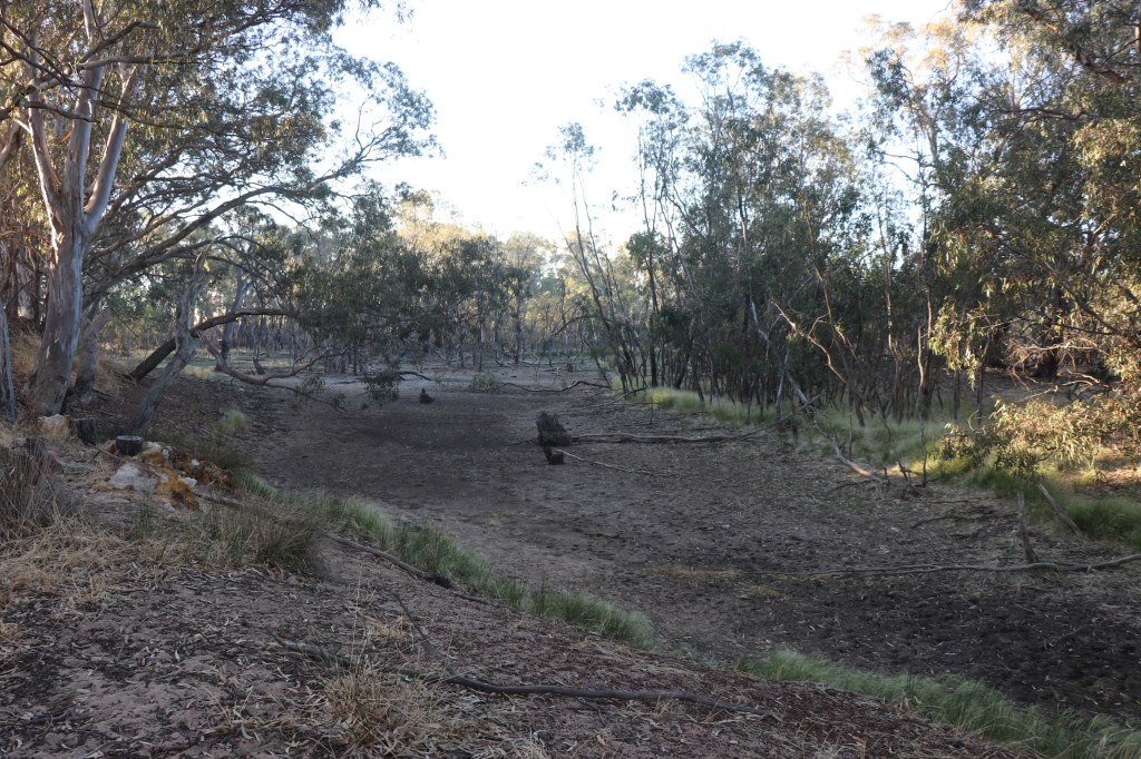
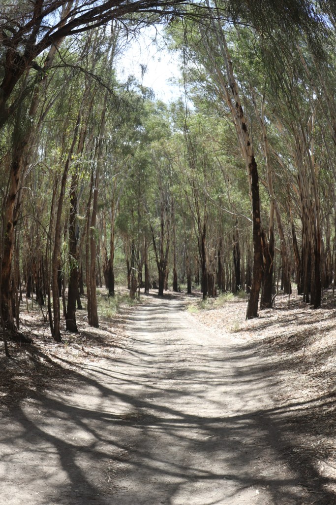
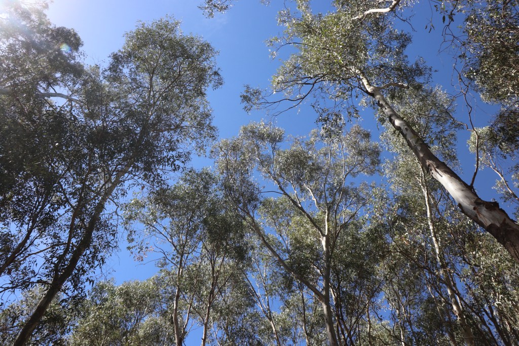
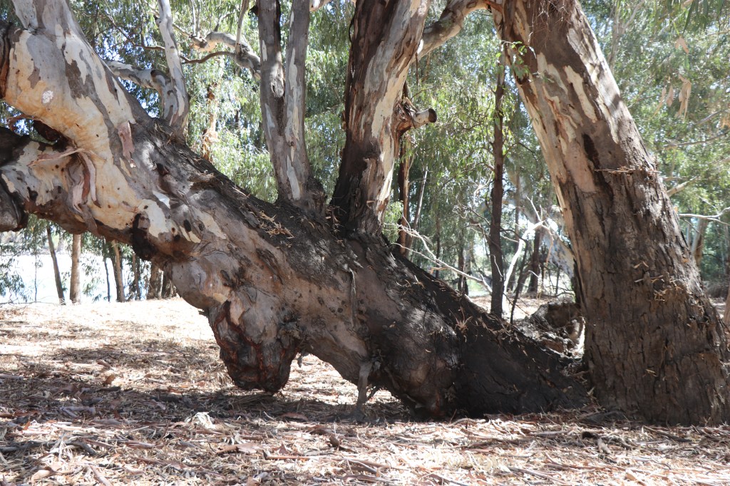
I immediately struck by the sheer size of the trees and lushness of this riverside bush. Salt bush is within shouting distance – but this is another world. There are huge red gums that would go back 100s of years but also a forest of more recent skinny saplings.

You get the feeling this was likely an oasis of food, shelter and culture for the Latji Latji, Ngintait and Nyeri Nyeri people.

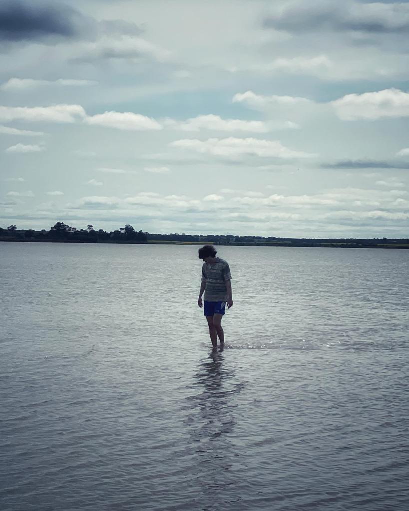
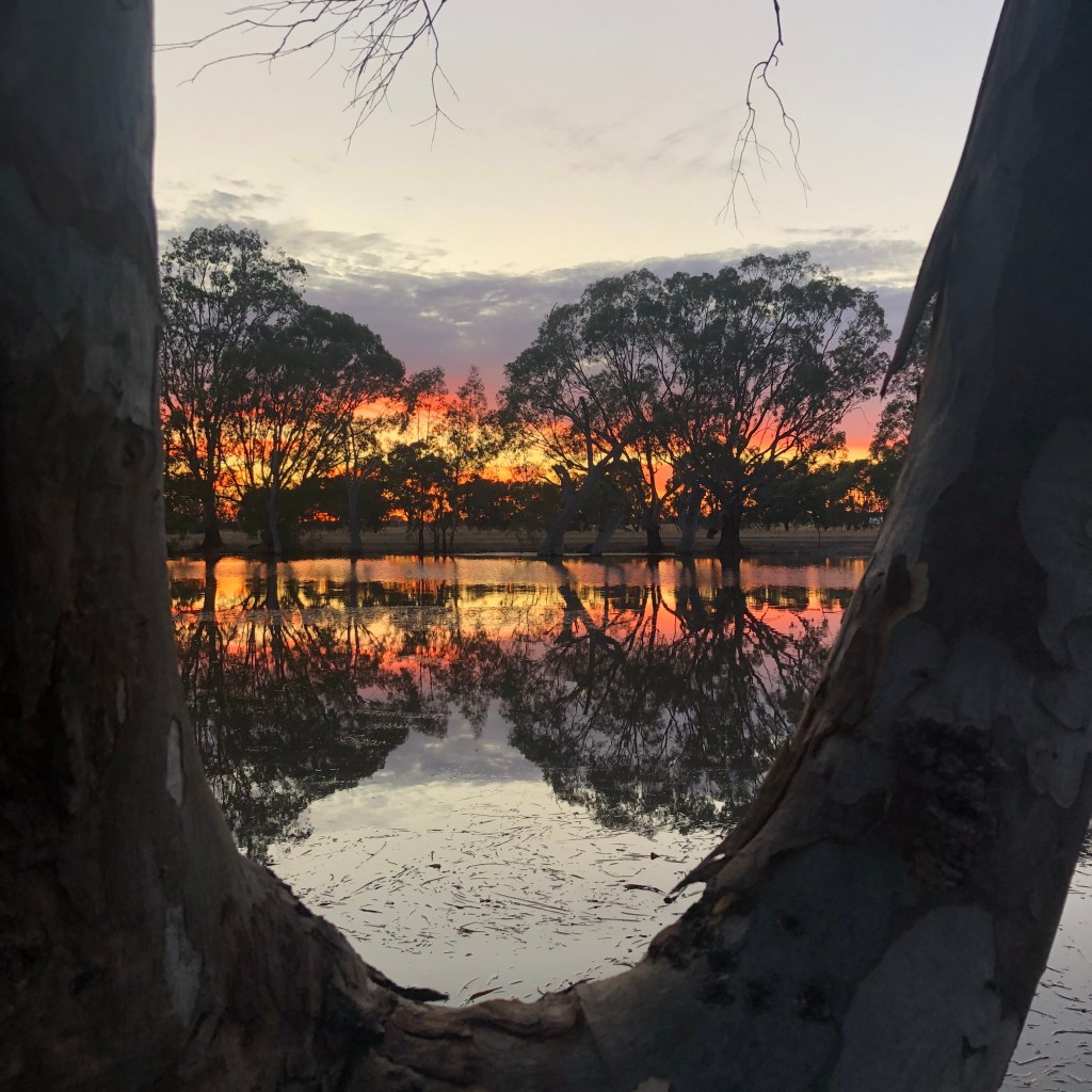
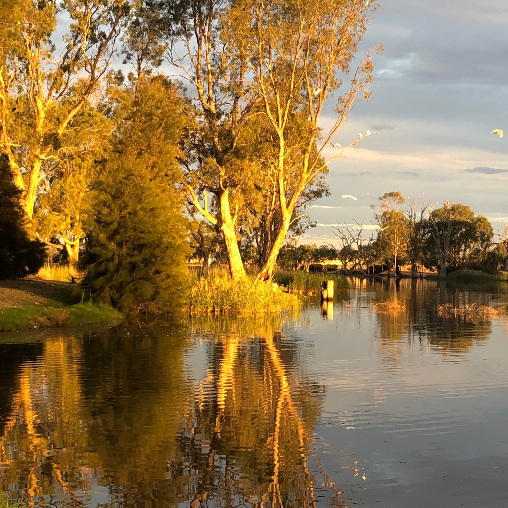
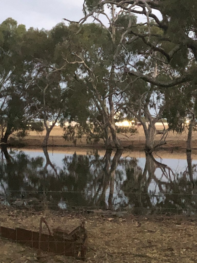
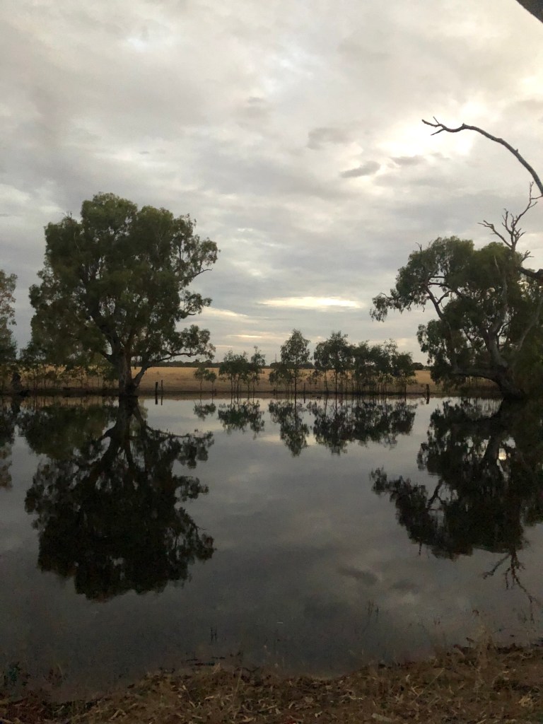
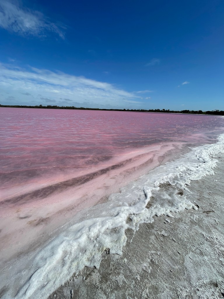
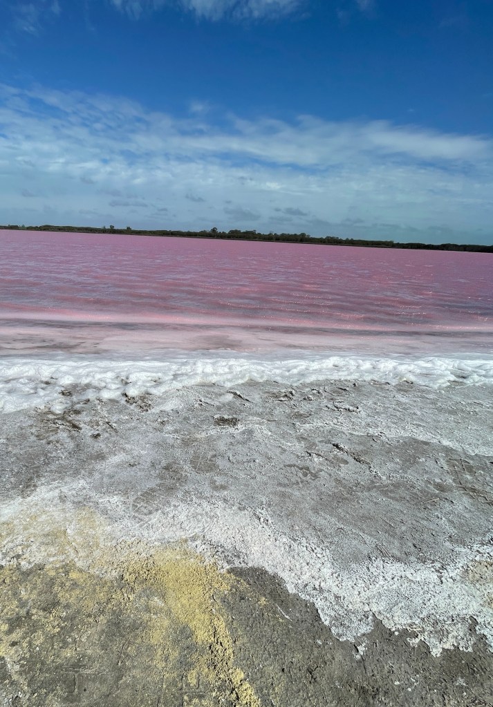
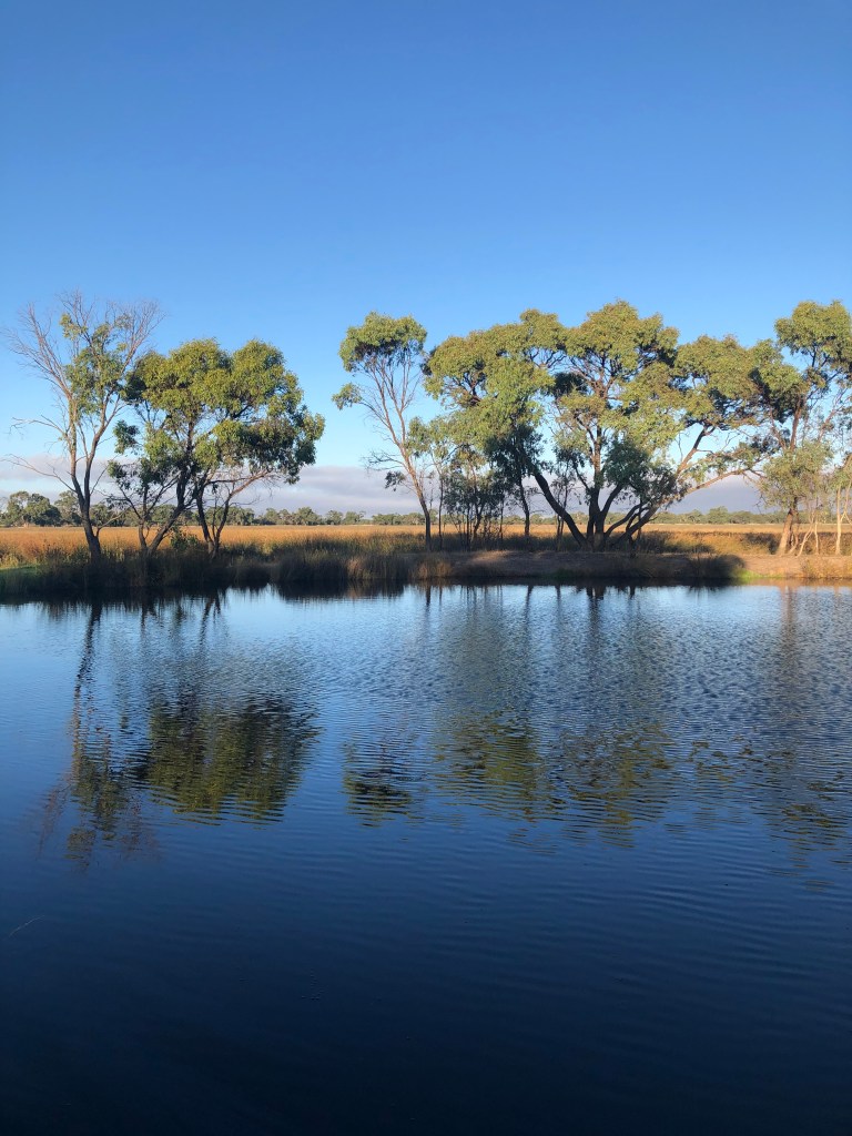
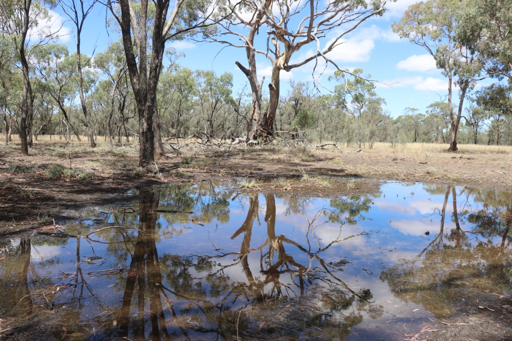
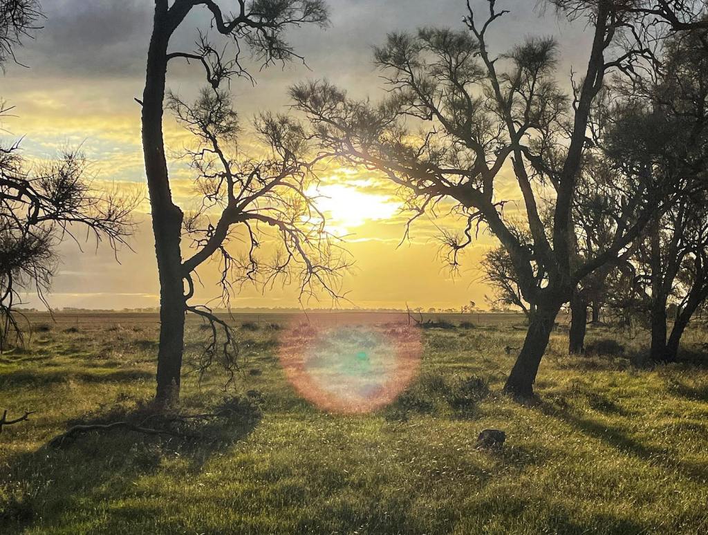
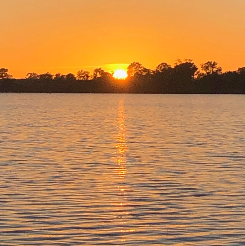
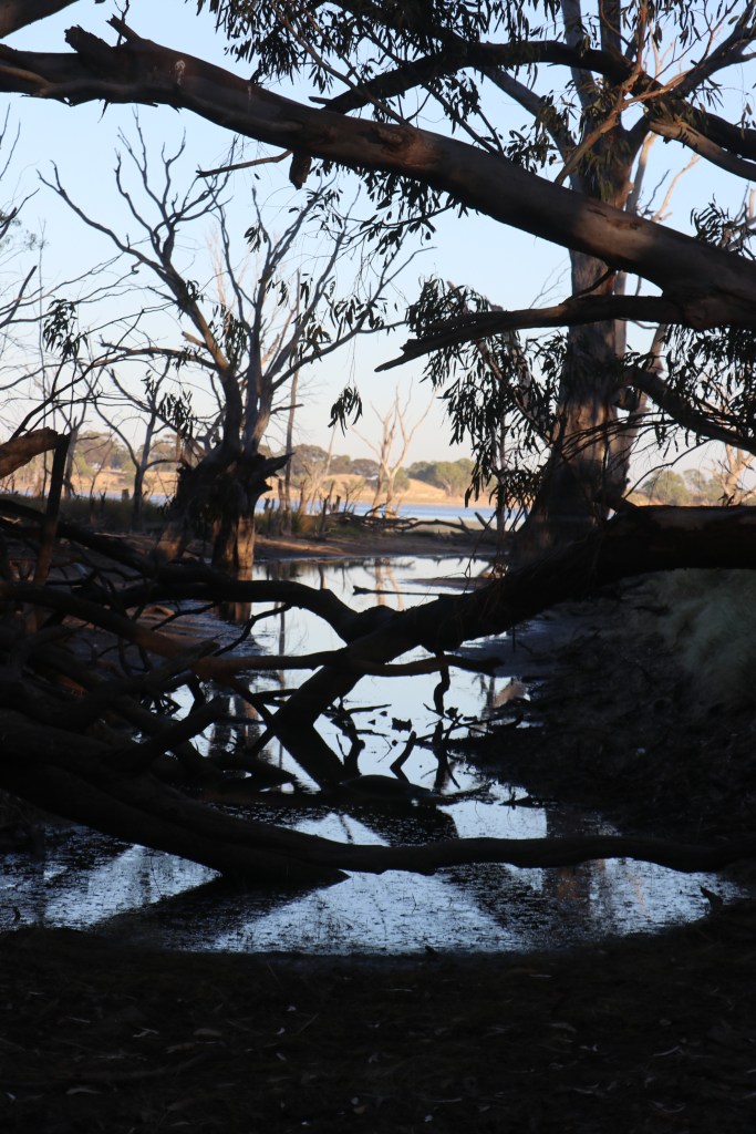
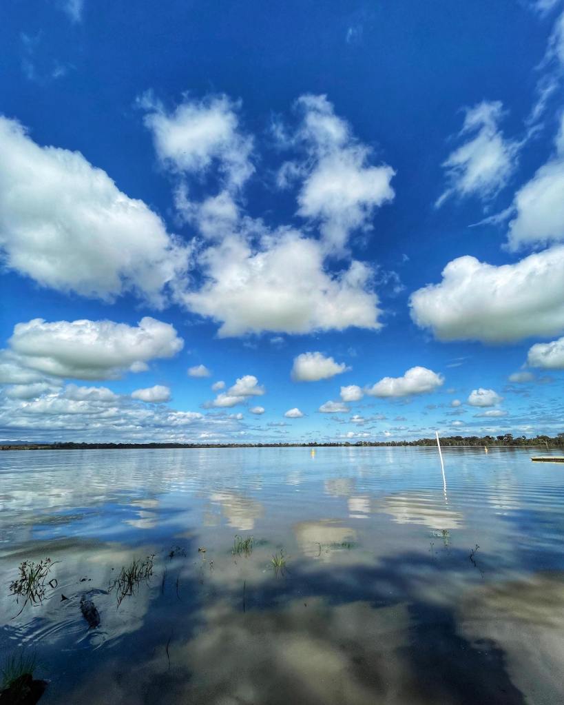
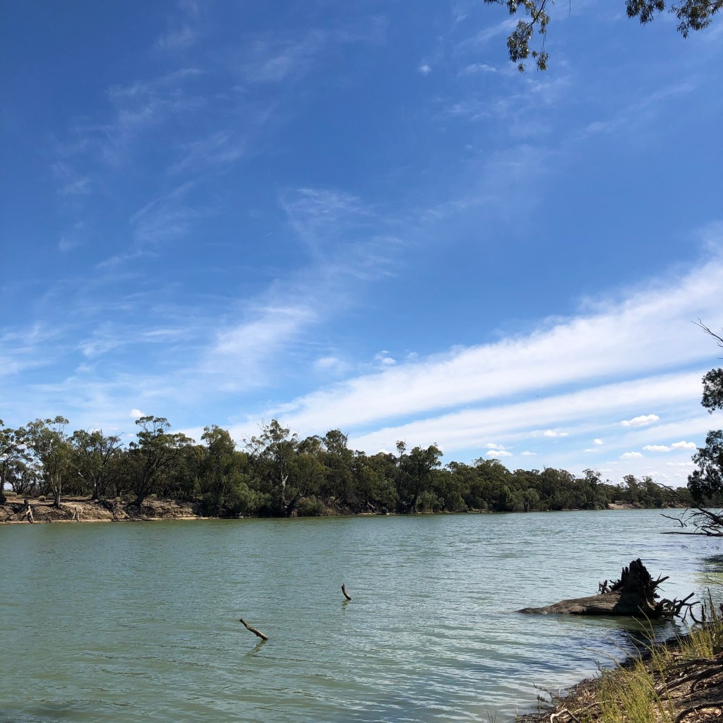
And then there is the river – several football fields wide, visibly flowing and possibly even making a sound as it does?  We’re not in the Wimmera anymore.

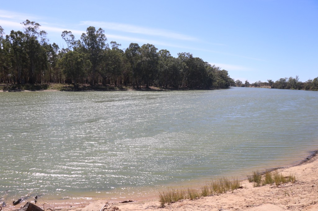
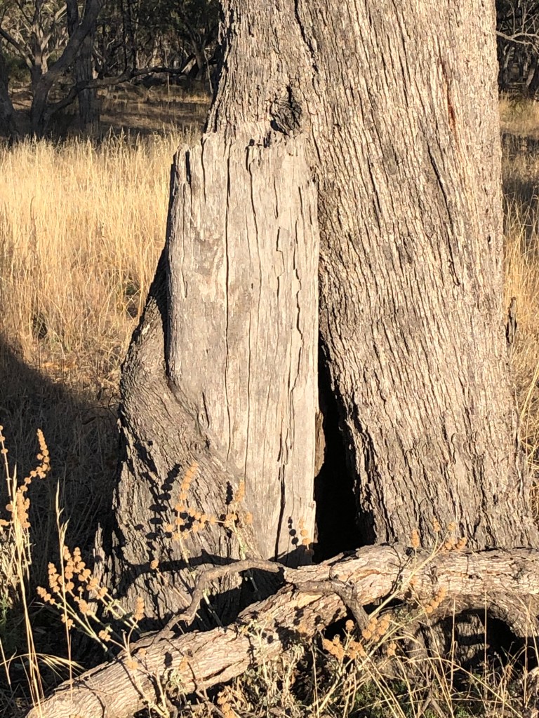
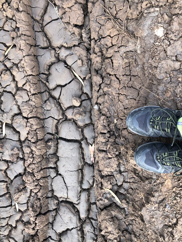
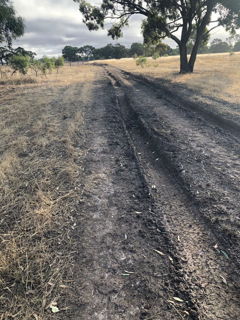
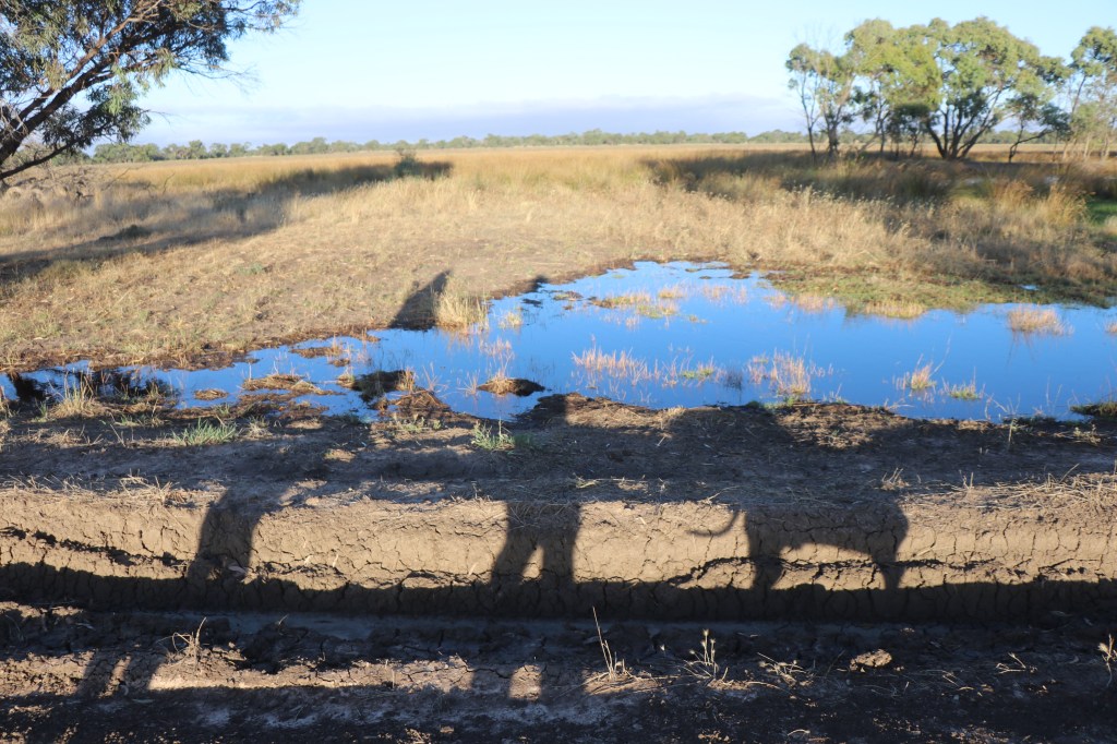
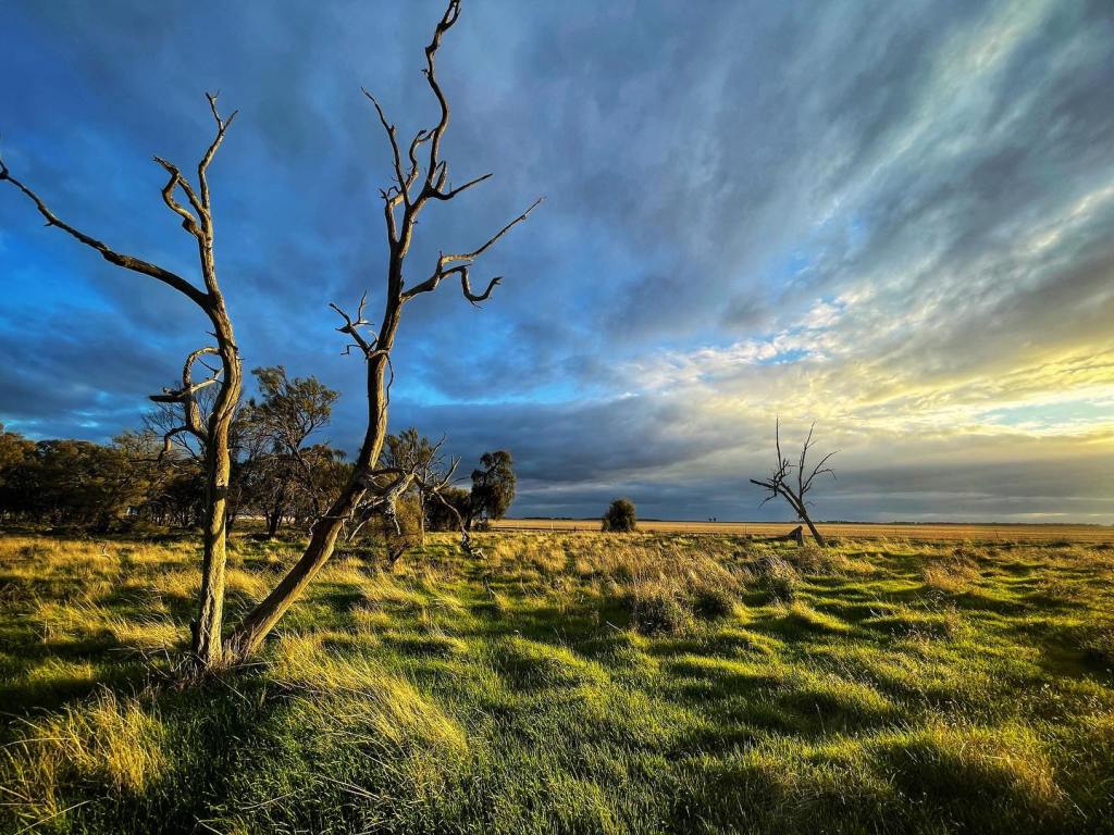
The dirt underfoot looks more like clay and you could hurt yourself falling off some of these high banks which is probably why the trees have been able to grow so tall.

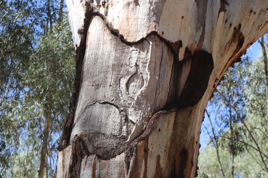
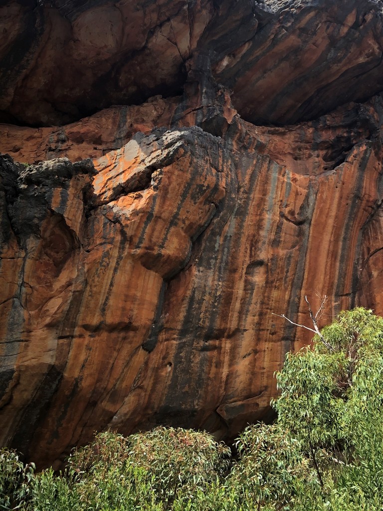
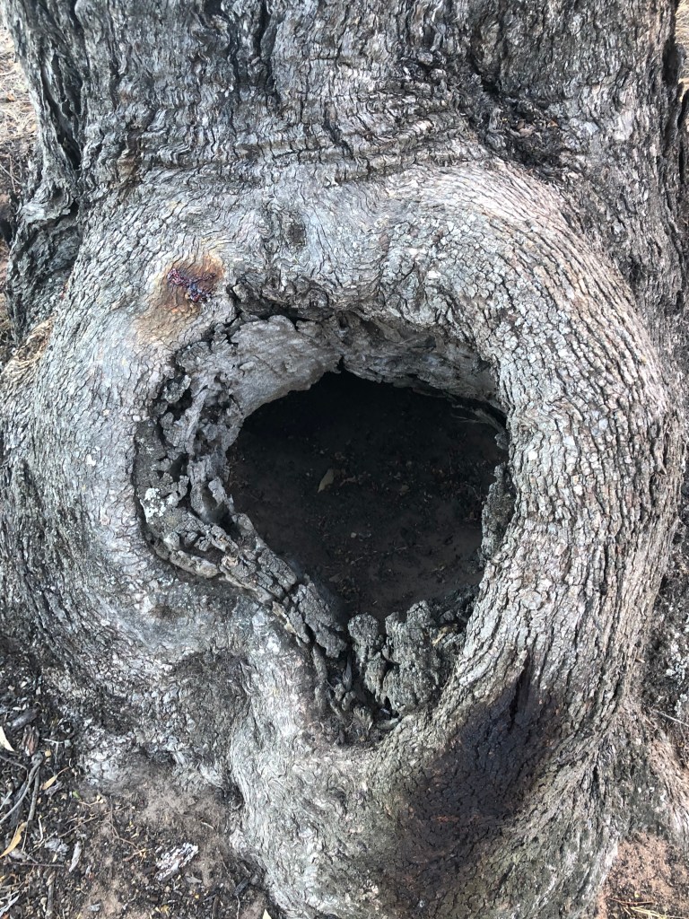
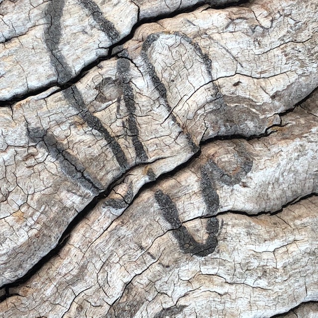
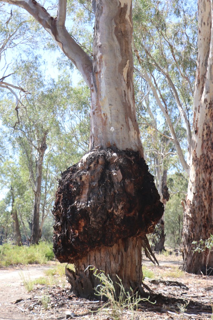
One tree looks like it’s pants have fallen down as a fat burl bursts from the trunk about a metre above the ground.  Others bear scars which could well have been made long before Ned and the sheep arrived. What stories they could tell of the past few 100 years!

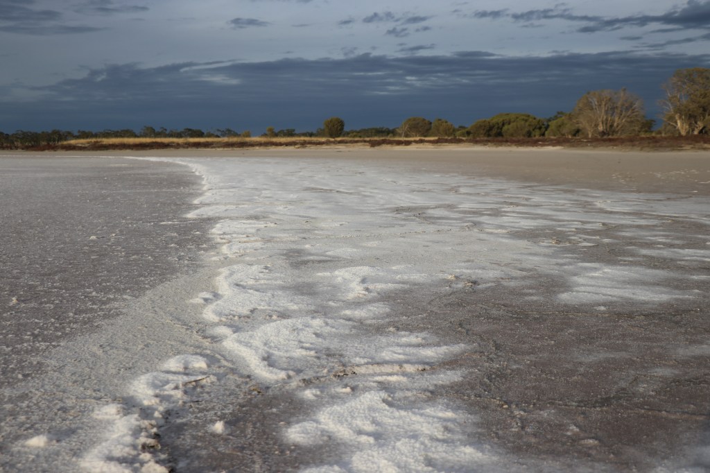
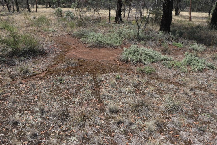
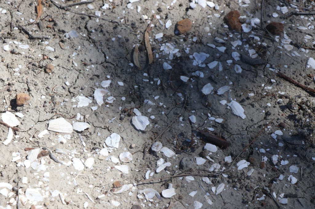
In places there are also suggestions of shell scatters on the ground – how exciting to see possible evidence of this area’s food bowl status dating back hundreds if not 1000s of years!

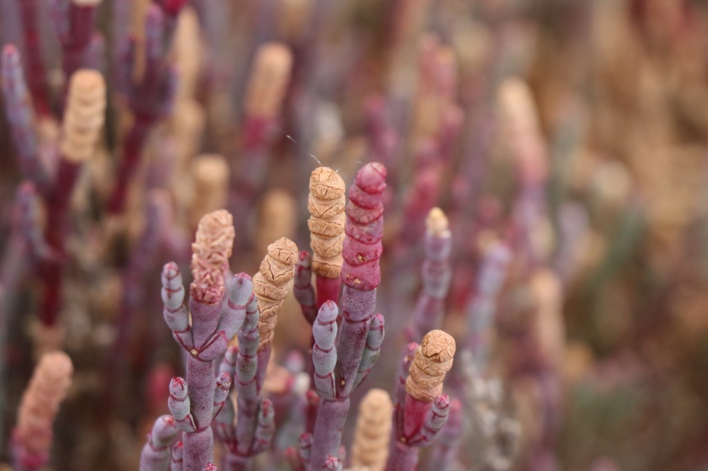
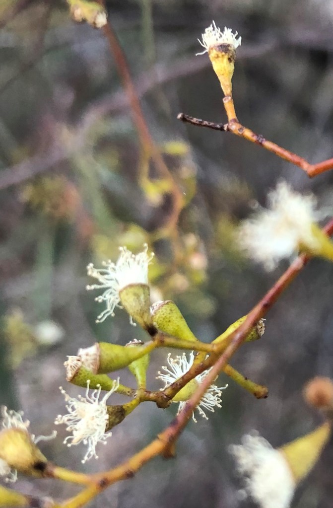
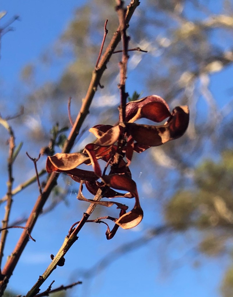
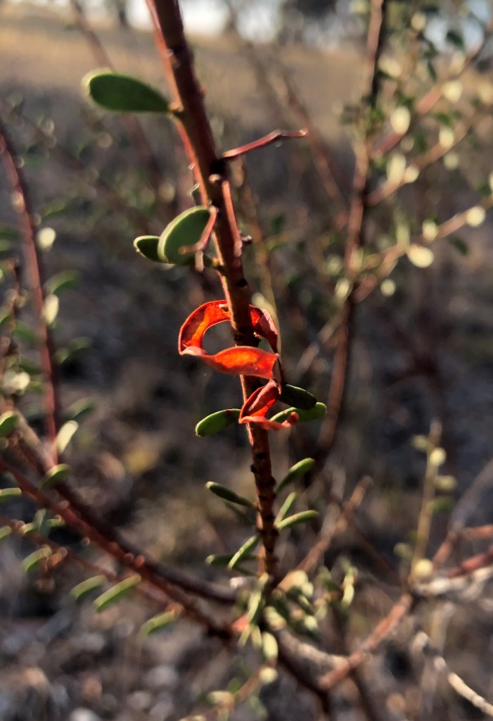
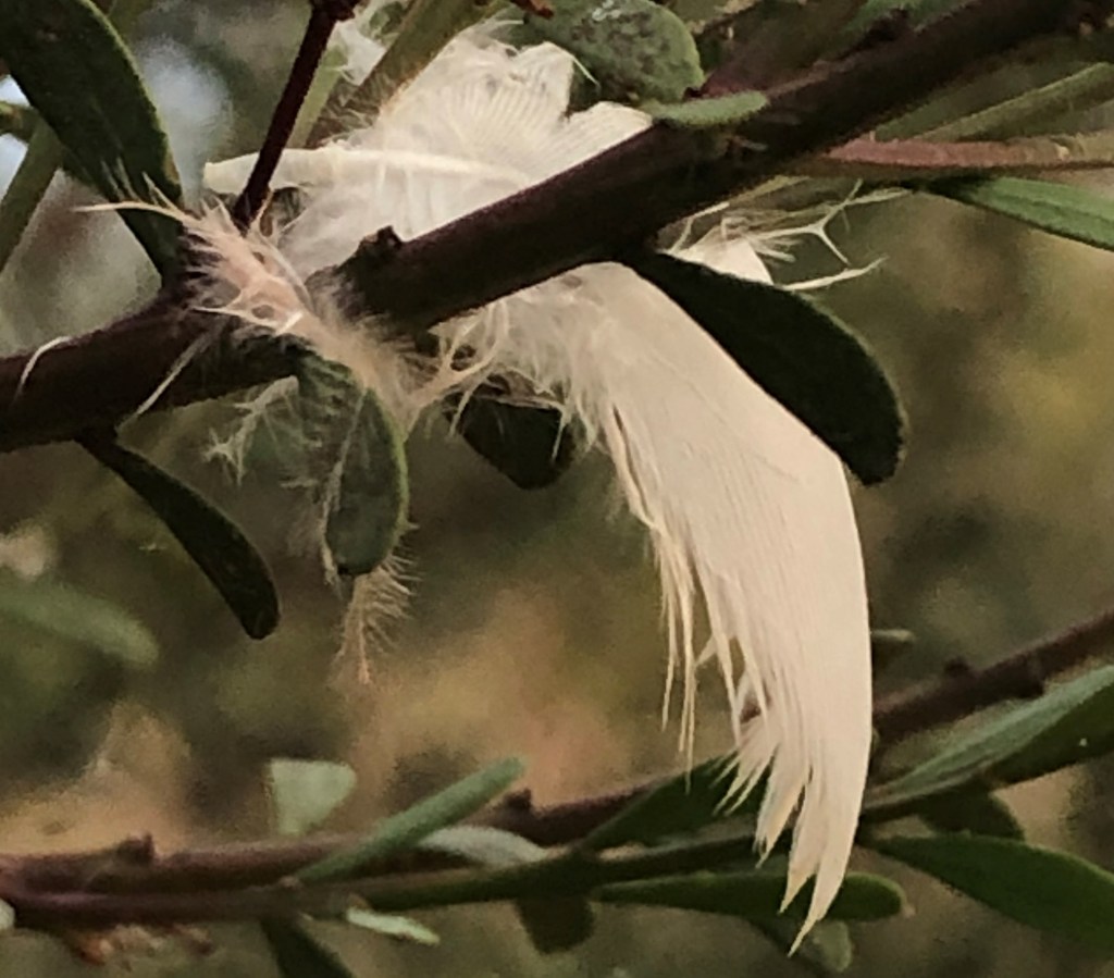
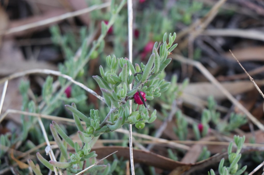
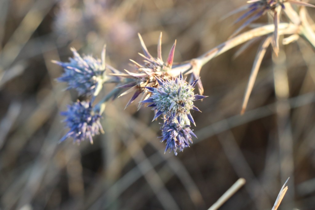
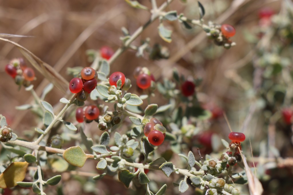
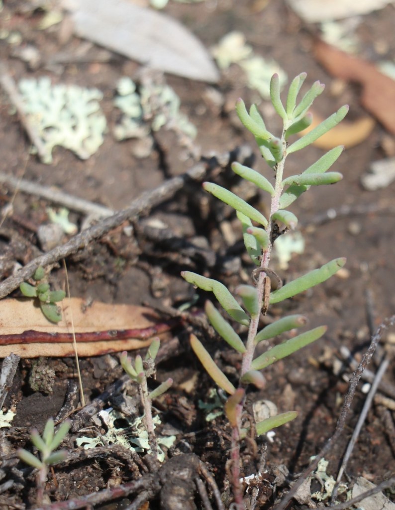
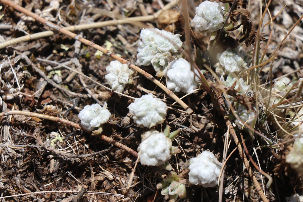
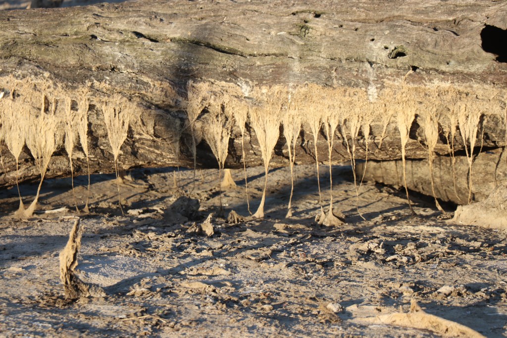
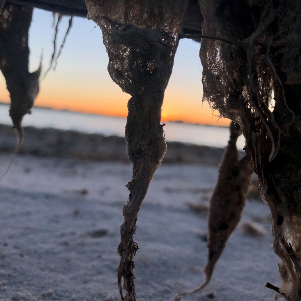
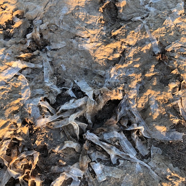
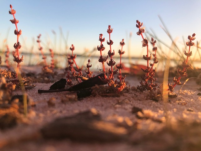
Ground plants are also growing well.  Ruby salt bush – which features often in the northwest – is thriving here with red and yellow berries. There is also pink pigface, a bright red flowered shrub and at one point a long spiders web that stretches for several metres.

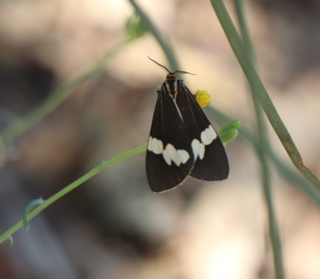
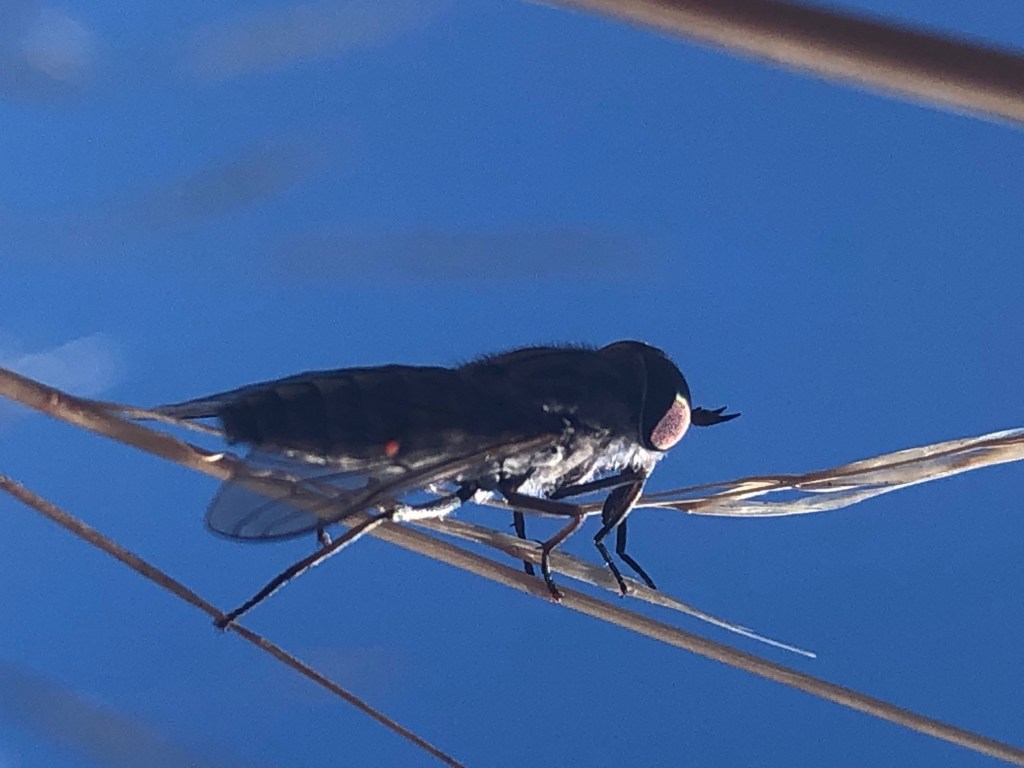
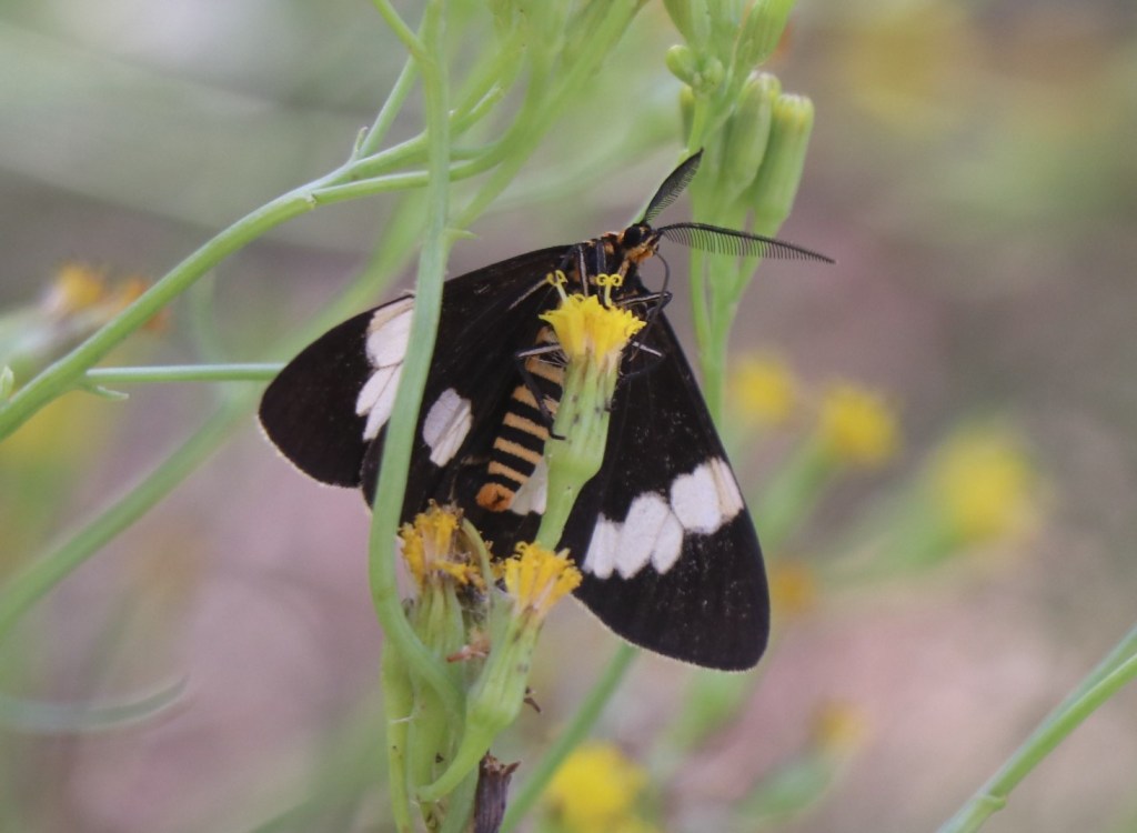
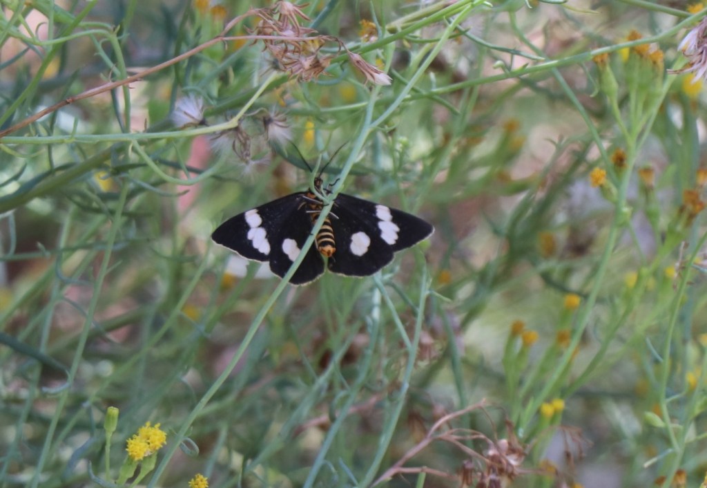
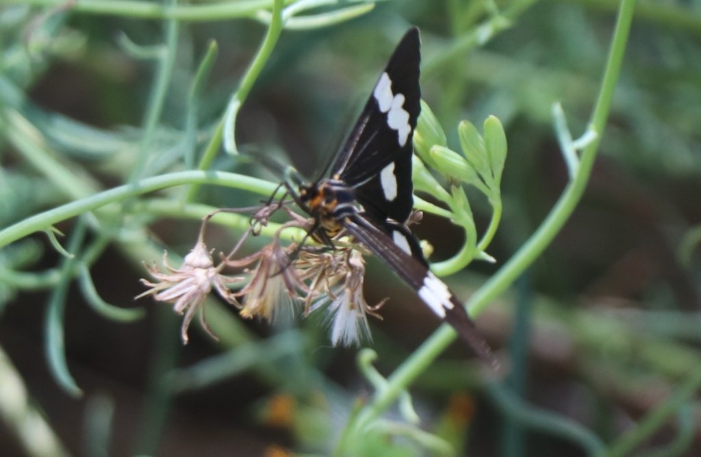
Another curious sight are the flutters of various sized butterflies. There are heaps of tiny white ones but also some beautiful black ones with white tips.

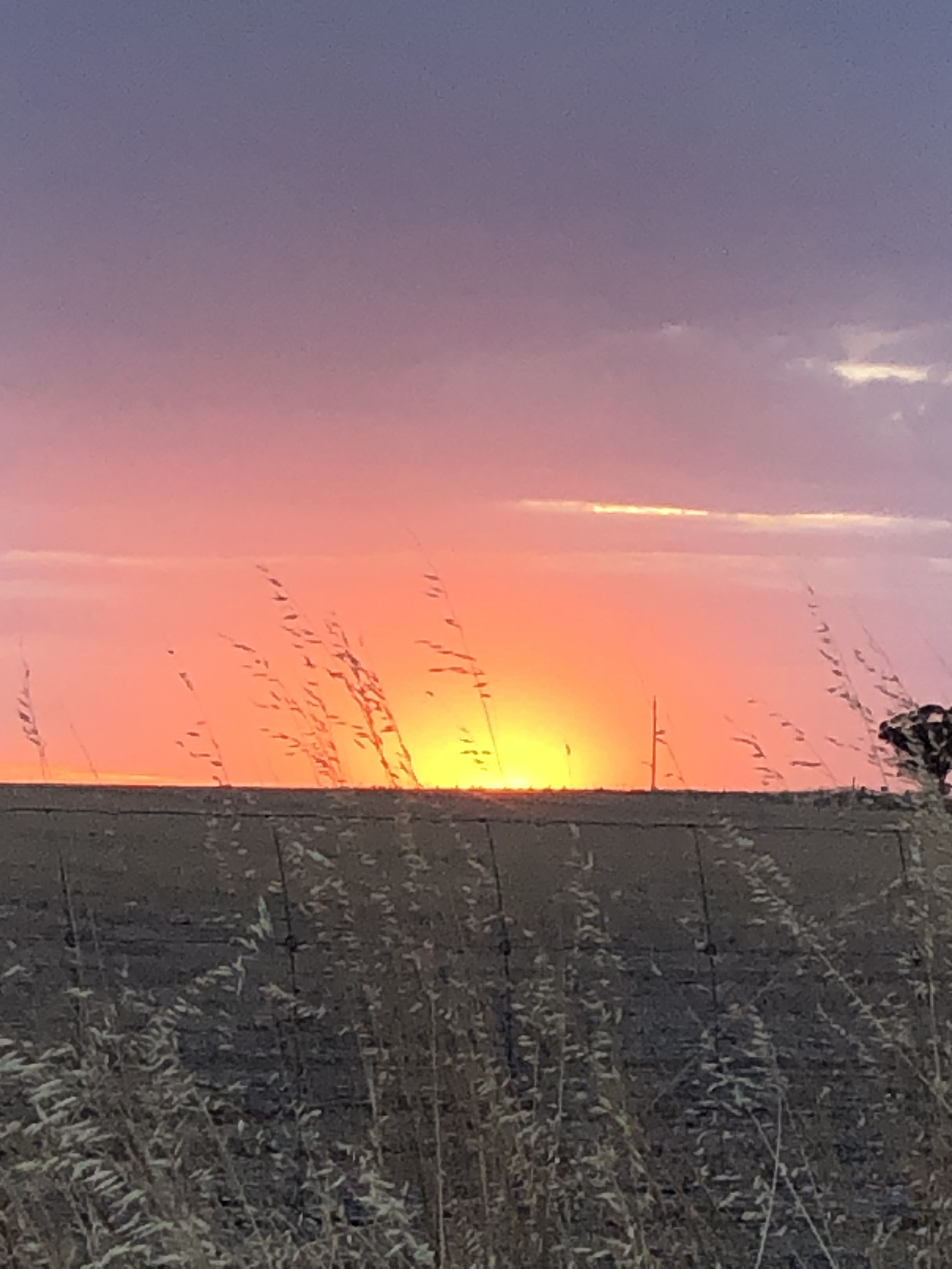
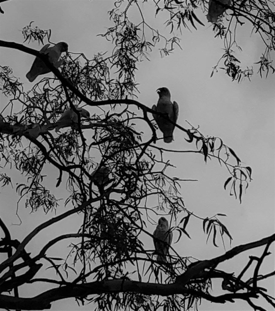
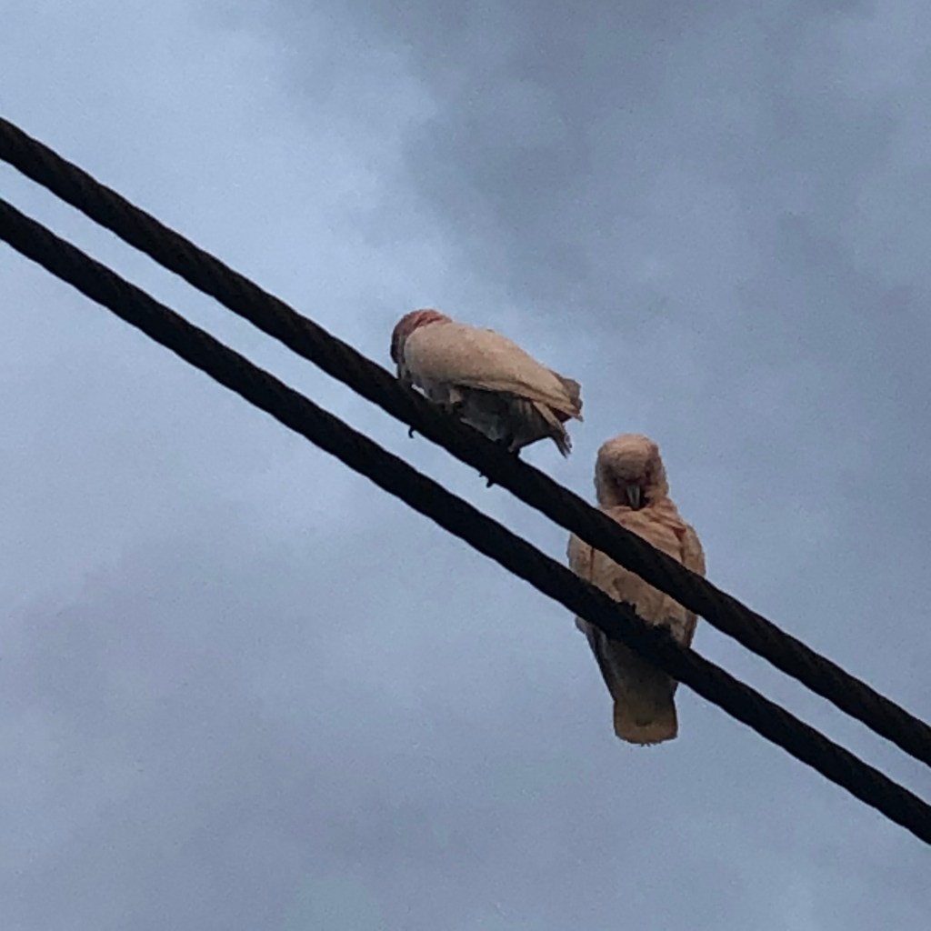
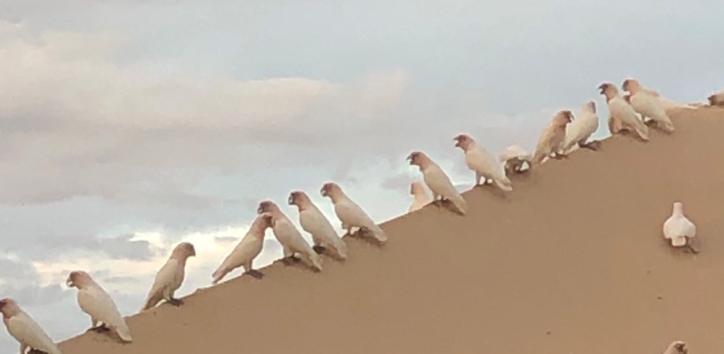
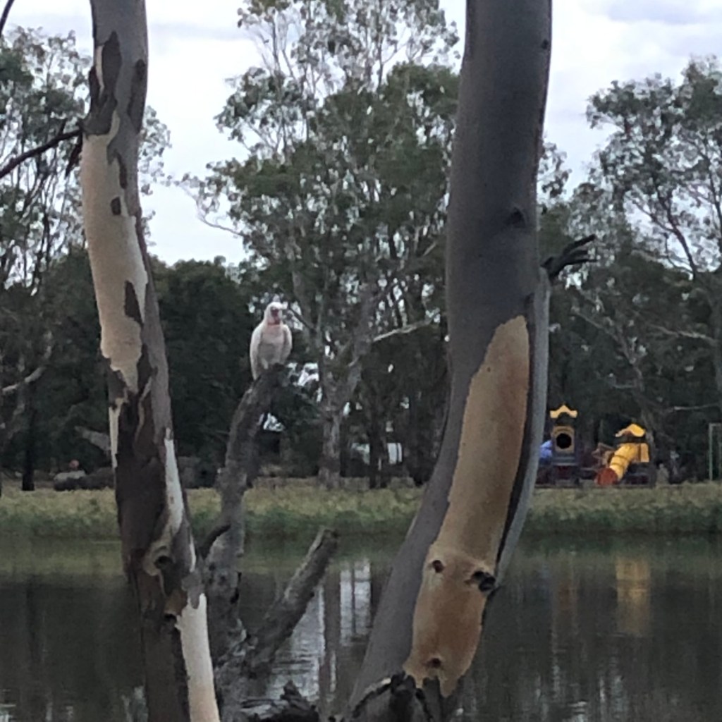
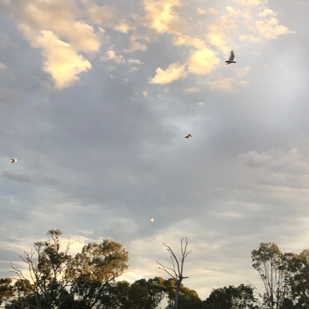
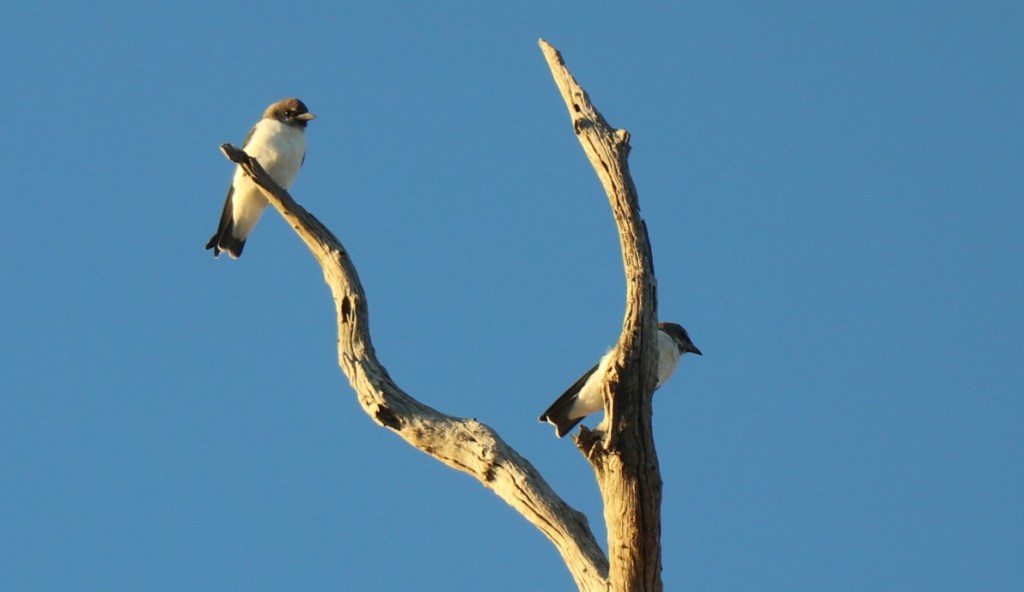
Apart from the odd cockatoo, it is incredibly quiet and peaceful.  A bit of wind on the river and sometimes a distant roar – but it is so remote it’s hard to tell if it is plane, boat or car.

The trees start to thin, change and shrink and suddenly the peace is shattered by a gang of noisy  white winged choughs.

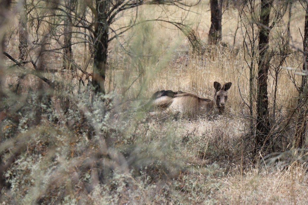
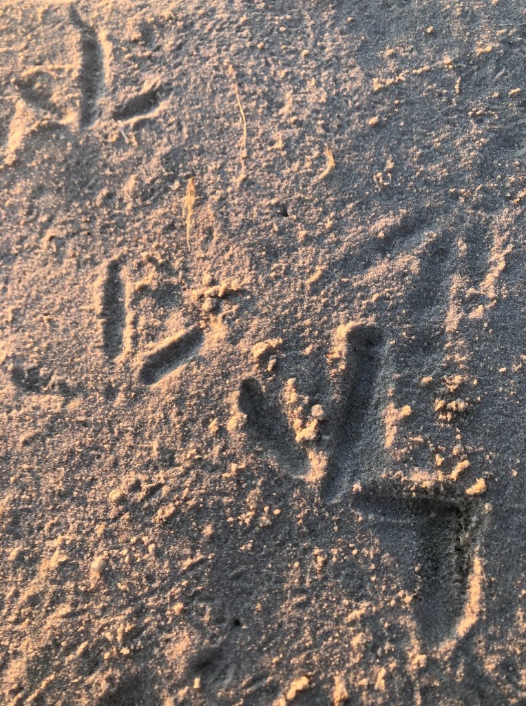
They are yelling and screaming and I assume they object to human intruders  until something long moves on a branch and I realise it’s not me it’s – a giant goanna.

I can’t get too close, but I can make out it is VERY long.

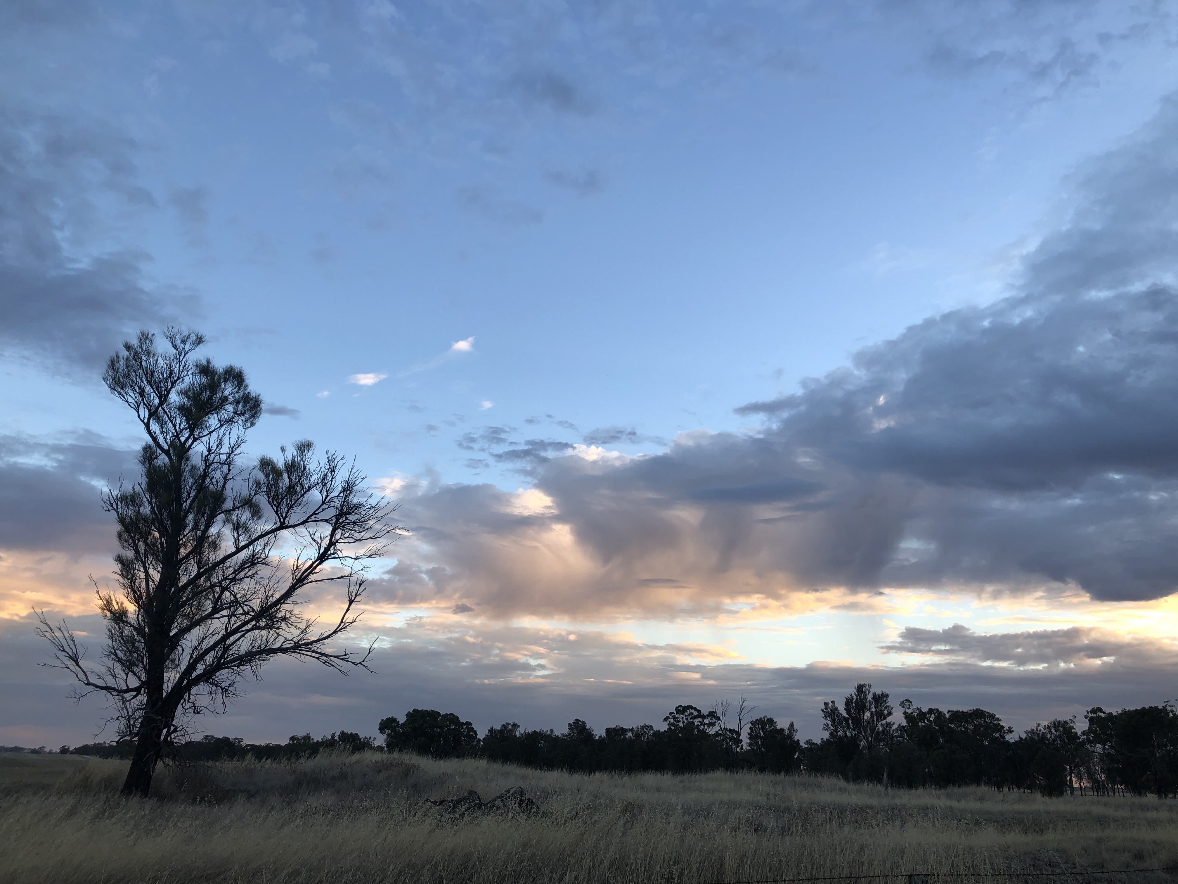
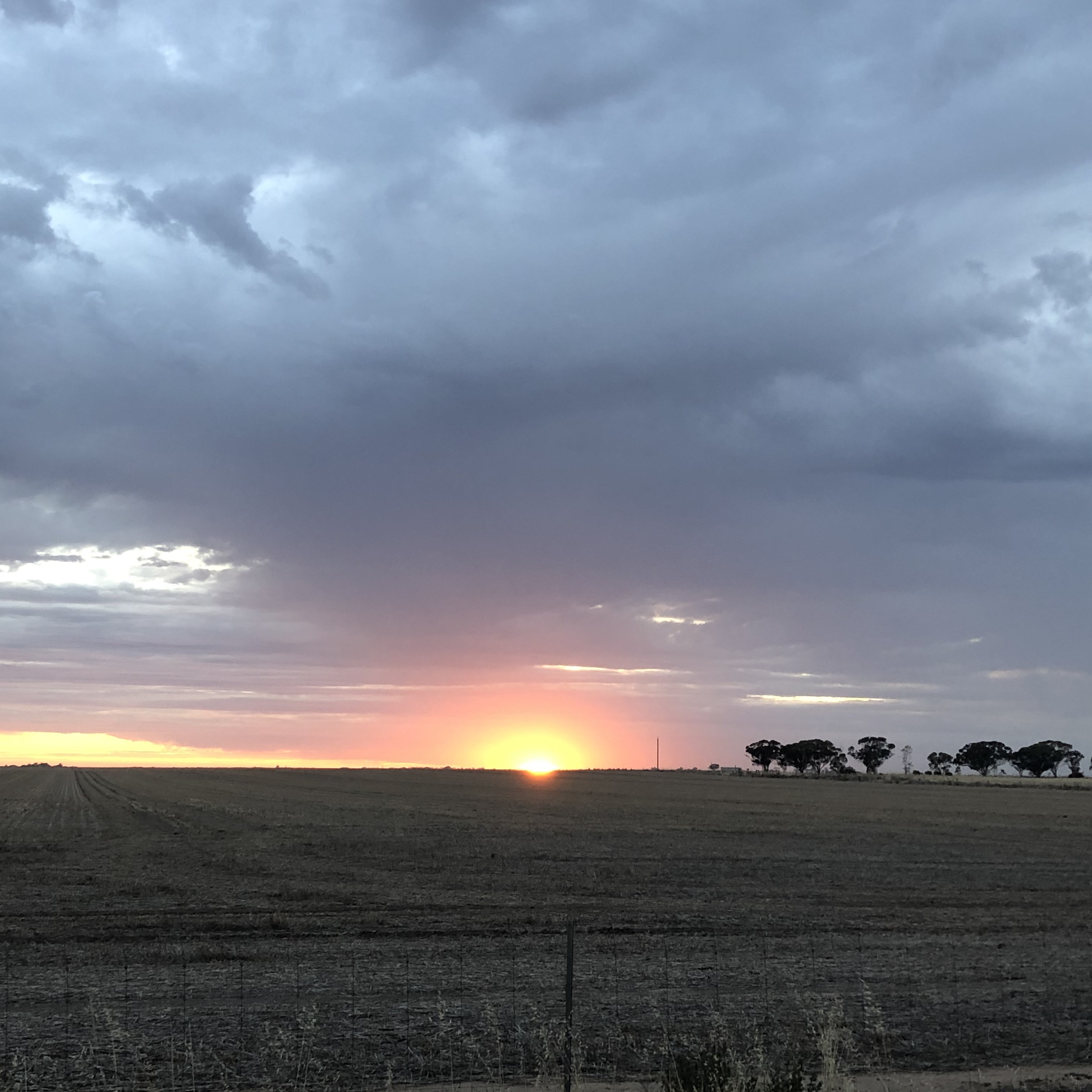
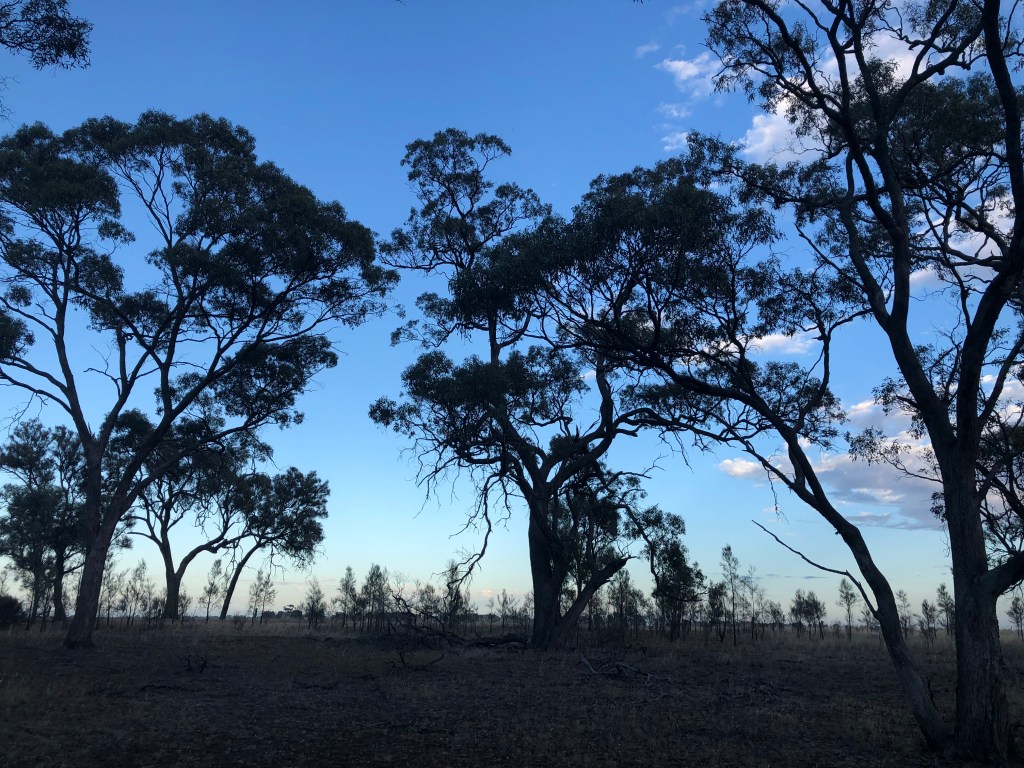
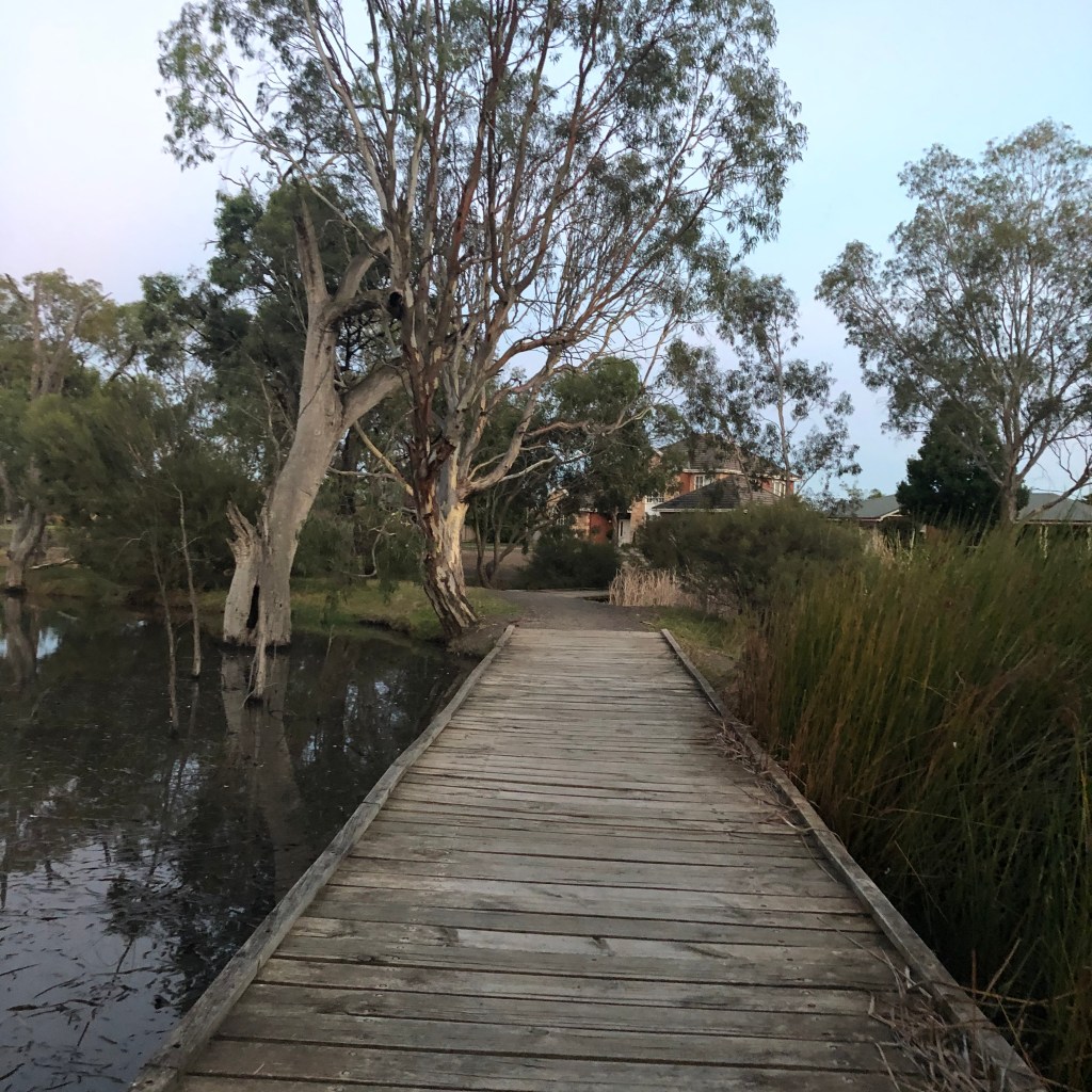
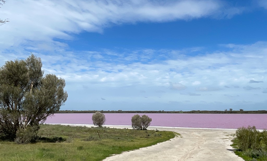
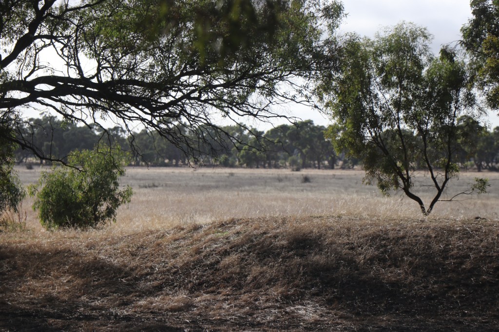
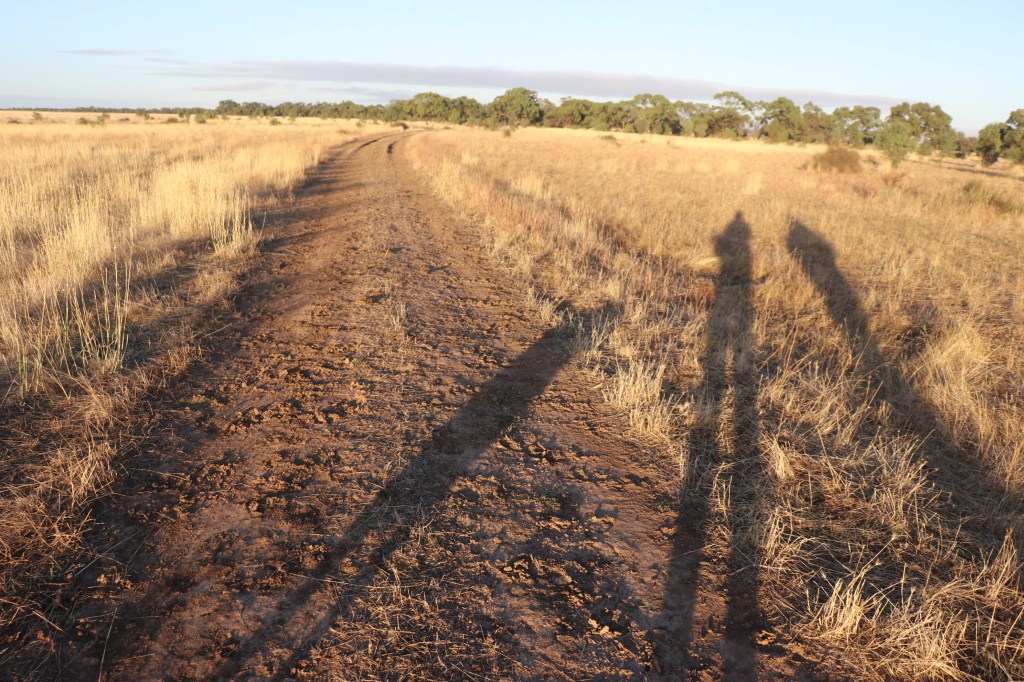
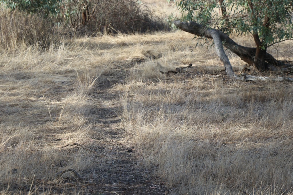
I wander  through more saltbush until I reach Swifts Creek Road which follows another bend in the river. Like Ned’s corner, this is a lush patch and we are again catapulted from desert to forest – Mallee style.

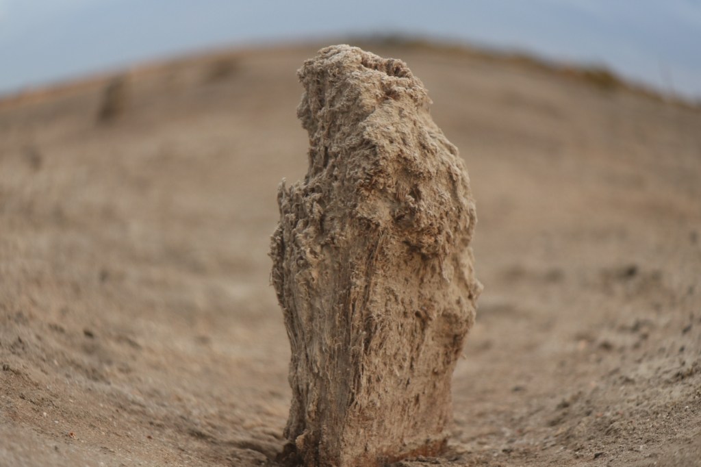
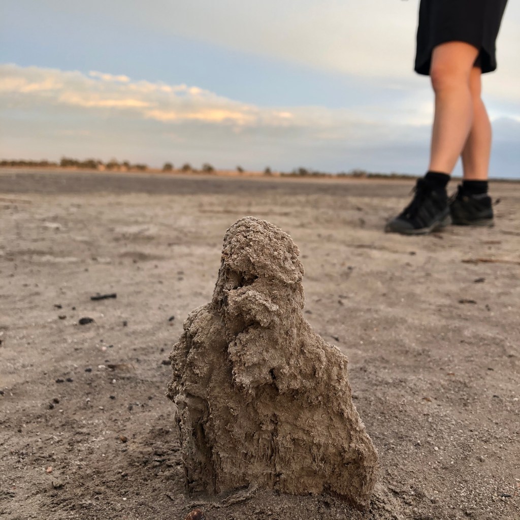
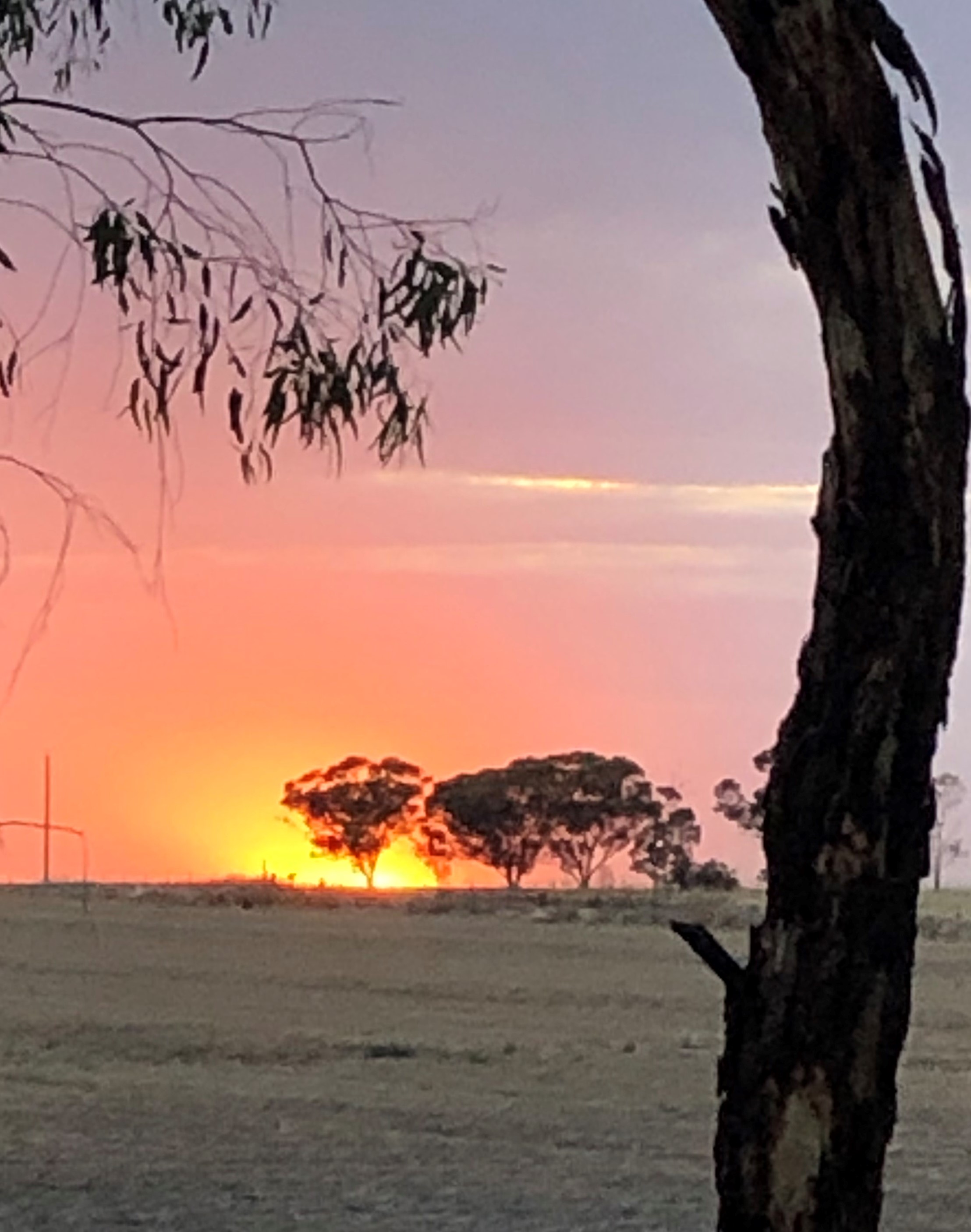
There are quite a few camps sites grand tall trees, as well as big stumps of others that went before.

At times the trees are so thick that the trees create an arch over the track and it is pleasant walking.

It is getting pretty hot when I reach the end of the bend and I have covered a total of 6km of river’s edge.

A nice walk but only 0.2 per cent of the Murray River’s massive 2508km length!

I tasted a mere crumb but this natural ancient food bowl was well worth getting my teeth into and has whetted my appetite for more.

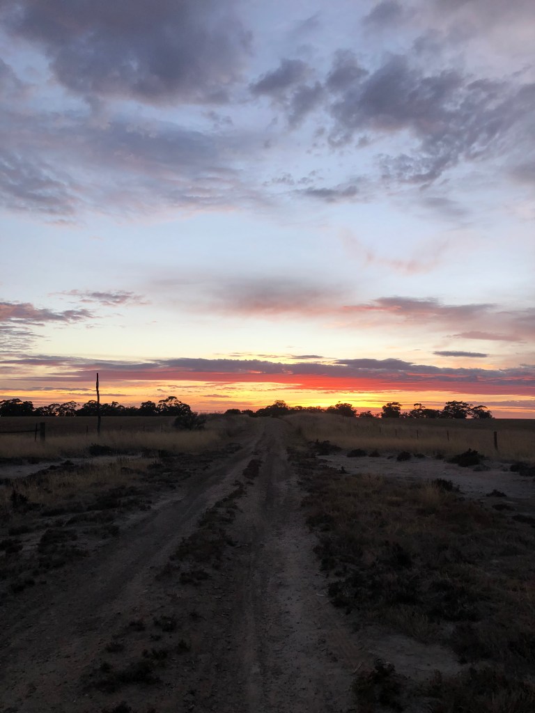
Post script – One more morsel – that night we got to eat deep fried old man saltbush – amazing, delicious and a perfect end to the day.

Week 11 – Oliver’s Lake will have you wanting more

What – Oliver’s Lake

Where – Duchembegarra, west of Horsham

How far – Lake is 400ha but we walk 7km part way around

10 word – Wide, flat, salty, dry, rare plants, bird haven, more questions……


The Wimmera really is chock full of lakes and wetlands.

Some with their name before the word ‘lake’ and others after.

Some have fresh water, some salty, some are big and some small.

Many are relatively shallow and also spend long periods of their life dry.

Oliver’s Lake at Duchembegarra is no exception. Today we will  walk both around and across its salty bed.

It’s an interesting exercise that leaves us wanting to know more.

Measuring about 400ha or 1000 acres, it is one of only four sites in Victoria home to bead glasswort a small shrubby succulent. It is also an important habitat for banded stilts and other wading birds.

In 1986 a report recommended it be fenced off from grazing to protect existing salt tolerant vegetation and allow regeneration of salt paper barks and glassworts.

In 2011 it was all set to host a major title for blokarts – carts powered by sail – but was hit by the  ultimate dry lake catastrophe – a flood.

I am not sure who Oliver was. But thinking it may well have been Mr L Oliver, or one of his relatives,  who lived out this way more than a century ago and did quite well in the wheat section at Natimuk Show in 1910.  

A bit of digging on Trove uncovered Frank Oliver who won a RACV prize for fuel consumption in the 1930s and the following decade lost his kitchen in a fire, He and another Oliver man won the father’s race at the school picnic and  his son Vernon broke his collar bone at school. Then in 1951 Jack Oliver’s ewe gave birth to a freak lamb that had two mouths, four ears and four front legs. Not surprisingly it “died soon after birth”.

There is also an Oliver Schmidts Road in nearby Grass Flat.

So we arrive at this lake via a powder-dry clay track, off Duchembegarra Road. After a bumpy few hundred metres we see the Oliver’s Lake sign. No water but a big expanse of white in front of us.

The sun provides a quick burst of fire, before disappearing into the vortex of grey and we head north following what appears to be an old telephone line.

Out on the lake there are a few old stumps lying about and lines of disappearing wheel tracks suggest we are not the only people to hang out with Oliver.

A burst of sun creates shadows that transform our walking bodies to a daddy long legs crawling across the lake bed.

The spider stops when we see a little lump poking out of the sand. It’s about 20cm high and looks like rock or wood.  We cast our eyes ahead see there is a line of them so they must have been a line of fence post which time and weather have whittled down to a fraction of their original size.

To the west the sun spotlights Mt Arapiles and the group of treeless hills sit just beyond the western side of Oliver. There were Olivers mentioned in 1908 when fire ravaged ‘Bald Hills’ and these naked mounds look like they might be the hiills in question.

 The sky turns murky blue grey as we reach Oliver’s northern end.  A group of paper barks are clustered about 30m away from the shoreline  and we notice our first signs of salt.

Looks like a white salty wave has washed up on the beach but is frozen in time. In places it is thick and the gentle curves and lines make it something to behold.

We see some kangaroo tracks but no kangaroos and we can’t see or hear any birds.

The salt wash gets wider as we head further on and then the lake bed changes to a sea of salty beads that are slightly pink in colour. On closer inspection it looks like an algae.

The trees change on the western side with beautiful eucalypts that are shedding their bark.

We see some deep pink pig face and are also loving the succulents. The beads are just beautiful with their worm-like form and tones of pink, green and

We are more than the half way around and have covered about 6km when suddenly the sky turns greyer. The temperature drops and a few spots of rain begin.

We see the car directly across the lake and know the clay exit track will turn to a boggy trap if there is a big downpour.

So we decide to bail and head straight across the middle to the car.  It is surprisingly dry and easy to cover.

We get to the car and out the track before the rain and take time to look at the old Duchembegarra school site and the other side of the lake as we head home. Was this where the Olivers’ ran and learned and got injured?

By the time we get to Natimuk it is raining pretty hard and we are very happy to have cut Oliver short.

It’s a magical place and there is more to see and learn… so we will be back.


Update spring 2022 – Olivers Lake with water

Week 10 -Nature’s rocky masterpiece

What – Mount Stapylton (Gunigalg) Walk

Where- Northern end of the Grampians leaving from Mt Zero car park

How far –5.2mn hike with 330meter elevation gain (according to Strava)

10 words – Flat, steep, ochre, bird, weathered, brain rocks. Exhausting, scary, exhilarating.

Autumn is a time of extremes in the Wimmera.

It will be 2 degrees when you wake up in the morning, 32 by late afternoon and then down to 6 when you go to bed.

Much of the land and is incredibly horizontal.  A flat, blonde sea  of cropping paddocks, interrupted only by clusters of eucalypt bobbing on imaginary waters.

But head east of Horsham and suddenly Gariwerd (the Grampians) interrupts the stubble covered  tennis court with more than 167,000ha of giant rock layered haphazardly like odd shaped lego stacked 100s of metres high.

Today, a week after we visited the Pink Lake moonscape,  we get to scale and discover  some of this intriguing rock.

New muscles are located as we travel 5.2km overland including 330 metres upwards, to  470m high Mt Stapylton – Aboriginal name Gunigalg.

Classed as a medium walk in some guides and hard in others, I have settled on the latter.

(I have since discovered that Tyrone T Thomas – the veteran authority of walking in Gariwerd- describes this as an ‘easy’ walk in his 1983 edition of 50 Walks in the Grampians. Tyrone must have been in very good shape or we have collectively become less fit with our sedentary lifestyles of the past four decades)

It is about this time Noah, my walking partner and son informs me he once  ran up the 2.5km track in 14 minutes. Not today my boy!!!

It’s a baptism of fire as we begin with flat rock. Flat is the Wimmera landscape not this rock.

Really interesting to see strange veins in the rock as we head upwards. Nature’s angle grinders (sediment or water) have carved out perfect lines along the rock.

Good excuse to stop and look and catch the breathe.

After a not-so-flat rock warm-up, we turn a corner and enter the huge amphitheatre  where Taipan Wall takes centre stage.

The track  follows the edge of another wall of rock and at ground level random boulders covered in many lines and holes are scattered among the trees.

This is a globally popular and challenging place for climbing but recent rediscoveries of ancient Aboriginal culture material has seen climbing banned. Findings included ancient Aboriginal quarry sites, an ochre deposit and tools and archaeological deposits in rock shelters.

We pass closed off paths to abandoned rocks then the track veers right and we start skirting along the base of Taipan wall.

It is one giant abstract 3D mural with broad and rocky brush strokes of brilliant burnt orange, with lines of white and black thrown in.

You wonder what stories were attached to this remarkable natural masterpiece over the past 50,000 years – a stark contrast to the sober grey rocks of much of Gariwerd.

We are onward and upward again and there are great views to the wall and to the big Wimmera landscape to the west.  A foreground with gridlines of olives and native flowers and background of scattered trees and distant mountains.

After a bit more climbing we reach the best natural sculpture of the day, the Bird’s Nest. A giant rock  bird sitting on a nest of eggs that will never hatch.

As we thankfully stop for some photos Noah assures me we are nearing the top of this section.

Not far along we turn another corner- literally and metaphorically – and begin winding back around and up a rocky path to make our way to the summit.

It is here we see our first magic views to the east and get a pretty good look at the grey clouds which are swirling above.

The path weaves around some more boulders and past rock shelters and then emerges onto the ledge  directly above the Taipan Wall area.

I have been sweating from the climbing but as we turn another corner we are exposed to cold, loud, fierce wind.

Now for some climbing and while I loved climbing trees as a kid, my ancient body has not done this for many years. I am informed to keep three limbs attached at all times and use my legs to propel me.

Freaks me out but it works and somehow I get to the penultimate ledge.

I am reliably informed that the next bit is ‘a bit sketchy’ so decide to meditate and enjoy the view to the west as Noah completes the last 50 ‘sketchy’ metres of the climb.

I did not quite make it and will definitely try to do it next time but I am pretty impressed with my efforts on this easy/medium/hard walk.

We stop to explore the many ‘rock pools’ on the windy ledge and take time to enjoy the nearly 360 degree views of the landscape below.

It’s not a sunny day but the patchwork of trees, horticulture, stubble and roads takes on new colours and character with a backdrop of grey.

We take a closer look at the rock shelter with its weathered holes, muted ochre and wheat coloured tones and notice another rock we had passed on the way up that looks a lot like a brain.

The bird takes on a whole other character too, when we look at him from above and we find another shelter we’d missed on the way up with what looks like a limestone ceiling.

The quads get a really good work out on the way down too, I might not be puffing as much but there is still pain!

We get to the end in 2 hours and 27 minutes with 1 hour and 49 minutes of moving time according to Strava. Tyrone said it would take 2 hours 15 minutes so all in all not a bad effort.

This walk ‘rocked’ in so many ways. We saw plenty of unique and artistic rocks, and my quads absolutely felt like rock at the end!

Rock on Stapylton nature’s masterpiece of northern Gariwerd.

Week 8 – Ticking the box

What – Box Swamp Wildlife Reserve

Where – 60ha about 15km from Horsham

How far – One hour and 4.1km

In 10 words: Highs, lows: visible birds, trees; unseen possums, lizards, kangaroos, water   

We might live in a desert but we are literally swamped by wetlands in the Wimmera.

Only trouble is they don’t get really wet all the time and these days they don’t stay moist for that long.

Doesn’t mean they are not great places to soak up the great outdoors and all it has to offer.

So today I am dipping my toe into the imaginary water of Box Swamp Wildlife Reserve.

On arrival the sky is pretty murky with patches of  thin vertical clouds which could be rain – I might experience some  wet land after all.

The first trees I see are some yellow box gums (I think) with their bark flaking off.  It hangs curled and dry off the trunk or lies at the base – looks painful but this process uncovers  a beautiful pale trunk.

There is no obvious path so I head north along Vectis Station road. Vectis station was one of the earliest European farms established after white settlement and had a big house that stood until the 1930s after the property had been carved up for soldier settlement.

I see two tall  skinny palms stretching up into the sky at a house site on the other side of the road and wonder if that might have been where the house was? Palms were all the go in the 1920s so more likely planted by an ex-soldier.  I also hear a new noise for my early morning walks in a rooster crowing. Makes a change from corellas.

Behind this house the golden sun pops into the tiny mass of fairy floss pink resting precariously under a sea of dirty clouds. Next time I look the floss has been gobbled up and the whole sky is just murky grey.

I find a track into the reserve and head west along its north boundary which fronts onto cropping country.

This is a well used track with a large area of open grassland to the south that slopes down to the wetland ahead.

I notice what looks like a scar in a box tree but trees are pretty thin on the ground on this open part of the reserve.

The birds are also starting to get active. A group of parrots have plenty to say as they eat breakfast, magpies sing in the new day and wagtails quietly bounce from tree to tree. The bees are also active and noisy.

There track heads downhill into heavier clay country and a mass of box trees emerge in the swamp  on my left. I decide to explore box trees on the higher ground along fenceline before heading into the centre.  

Black box trees, or Ngarri as they are apparently called in locally  are  pretty cool.

A Wimmera Mallee species, we’ve lost a lot of Ngarri over the past 150 years and a third of them are now restricted to public reserves like this one. They grow pretty slowly and one study suggested they take 400 years to reach 10 metres. Today I think I will be making some very old friends.

They seem to congregate in wet areas and keep on keeping on even when it remains dry for years.

I once knew a man named Mervyn from Jeparit  who would watch the box trees every year to determine when the first rains – or the break – was due. I wish I could remember what February flowering means, as I come across some yellow flowers on the tree ahead.

The other thing about box trees is their amazing visual diversity. One has a love heart hole in the trunk, others stretch high – or low and one looks like it is hugging a child to its trunk. I have seen them fall over and continue growing from the ground where the limb landed.

I am waiting for the day when a centenarian asked their secret to long life responds “Ah simple, I take my inspiration from the box trees. They know how to survive.”

Another enduring species is the buloke and to the north I see a row of baby bulokes standing to attention along the fenceline. Not sure if they will last as long as box trees, especially if they are growing too close the boundary line.

I notice lichen on the ground and some ruby salt bush which is looking a lot thirstier than the ones I have seen in recent weeks at other reserves. It must have missed those summer storms.

Another strange thing is a number of roof tiles sitting flat on the ground in a perfect grid. Research suggests this could be a way of monitoring legless lizards which are found in grasslands.

I also see signs of old channels and a dam which has obviously been dug many years ago on the edge of the swamp area. This is ringed by trees and appears to be a bit wet on the bottom because there is grass growing at the base.

The track turns left and heads back east now so I head into the swamp area to have a look.

What I am noticing is a lack of kangaroo tracks for the first time during my walks. This is an oasis in a sea of farmland so maybe it is just too far from other reserves for it to be a viable spot for the roos to visit.

Looks like there might be some target practice goes on here too, so that noise would be enough to deter even the bravest of kangas.

I come across a saw horse standing in a clearing and complete with an orange metal target and a few clothes pegs sitting on top.  There is also so a seemingly abandoned model further which involved a packing crate adorned with golf balls. Almost looks artistic.  I am wondering if there is a household in a 30km radius missing vital equipment for laundry and minor handyman repairs.

One bit of wildlife happy and active are the ants. I also find a few rabbit warrens and rabbit droppings but don’t see a lot of bunny baction. Maybe some of the target practice has been directed their way.

Finally I notice an animal-made path much narrower than kangaroo and heading from tree to tree.

Looking at the trunk there are tell-tale scratches which suggest possums and I also see some possible possum prints in a sandy bit of the vehicle track.  Finally some real signs of non-bird wildlife in this reserve.

At the 3.5km mark  there’s a burst of early morning sunlight. Where did that come from? Last time I looked at the sky it was grey.

Morning has broken – or been fixed.

It is blue skies as I head back up the red dirt hill for the last part of the walk. The yellow gums are shining in the light and I find some flowering shrubs growing.

Back at the car, the verdict is clear. This swamp definitely ticks the box.

Week 7 – Wimmera River walk

What – Wimmera River Loop – lockdown route

Where – Weir Park return loop via ANZAC bridge

Distance – 4km

10 words – Old favourite, urban getaway, noisy cockatoos, drowned trees,  great asset

So who would have thought we’d be in the middle of a snap lock down in week 7.

With 5km limits we are heading along the old favourite Weir Park-Anzac Bridge loop.

I forgot a mask on my morning walk and cut it short and then finished the walk in the evening. You are getting a mix of experiences with this one.

At the outset there is something to be said for getting up early and seeing a sunrise over the Wimmera River. Different times of the year the viewpoints change and the colours are seriously just about everything in the rainbow if you add up over 12 months.

Sometimes you can even get rainbows if you are lucky.

So this walk is a loop measured from my house a bit over a block from the entrance to Weir Park. I usually head east in the morning so I am walking into the sunrise.

Today (on part one of the walk in the morning) it is a nice combo of low grey clouds and sunrise. Not a giant, technicolour wow sunrises but pretty good all the same.

A good spot to start and just look down the river is the jetty at the end of Drummond street.

I also like to head out to the island that is joined by a boardwalk at one end and you can get a good vantage point on the south side.

There is a seat dedicated to Hugh Jenkin who was a well known photographer from Horsham who died in 2002.

Hugh knew a good spot to enjoy the sunrise too I bet.

Today it turns on a some pretty impressive yellows, pinks and oranges before dissolving into the grey clouds. I realise I have forgotten my mask and dissolve back to lockdown too.

Later in the week I follow the same path at dusk. It is 33 degrees, muggy, grey and feels like a calm before the storm. The water is dead flat. But there is no peace.

The corellas are in a flap. If you did not realise what was happening it could be quite frightening. They scream to each other, they dart from one side of the river to the other and line up on trees, bridges, shade sails and wires.

You wonder what they are thinking? Research suggests they mate in the same nests and have partners for life- maybe they are arguing or debating a point. They are also really playful and I see this with birds hanging upside on wires or branches.

Over the past decade or more they have proven destructive, after playing (and chewing) on a wooden house or cables or pristine turf.

But you do wonder whether we humans need to own some of this. Apparently they enjoyed a diet of native yams before Europeans arrived but the arrival of onion grass from South Africa boosted their  food supply and numbers, Then we replaced native grasslands with tasty crops and the birds just boomed.

In Horsham itself building the weir, which has drowned a heap of huge eucalypts, has created a housing estate of perfect dead and hollow trees for them to live in too.

Putting on my Polly Anna hat I will pose the questions – “is their chatter that bad?” If you lived on a farm, there are sheep and cattle and chooks. This is just another version of rural living.

They form a formidable lineup on top of the shade sail covering exercise equipment and they are channelling trapeze artists on the ANZAC Bridge.

These birds are everywhere, but after a while you become accustomed to their constant calls and they meld into the landscape.

The sky is pretty grey and it looks like we will have a fairly uneventful sunset until all of a sudden there is one last gasp. Trees suddenly turn gold as the sun provides a final  flash of brilliant light before heading west for the night.

That was pretty impressive but it has gone by the time I get to the footbridge that  provides a great spot to look over the river and creates an excellent walking loop to the river’s south bank.   

The South Bank track has been recently upgraded with two new weir bridges so that a billabong can be refilled and crossed.

Tonight is the first time I have seen this area with water and although it is nearly dark I see trees that have been crowding around empty holes for years now sit in water. You can almost feel them smiling.

When I approach the main weir, corellas’ chatter is overshadowed – or drowned- by water gushing over the edge of the weir.
A beautiful sound in the Wimmera.

All light has gone when I reach the car park but there plenty of people around, kids playing, dogs being walked  and parents packing up after picnic dinners.

We are in a pandemic, it is night time, I am on my own surrounded by strangers but I could not feel more safe, secure or content.

Happy days indeed as I finish a late evening adventure.

Week 9 – Moon walking in the pink

Week 9 -Pink Lake – Lochiel Reserve

Western Highway, 8km west of Dimboola

Distance – 3.5 km around the lake

10 words – Moonscape, salt is art, stark, beautiful, no water little sun

Sunrise sounds like the perfect time to experience the full blast of Pink Lake’s brilliant colour.

The 45ha salt lake sits just off the highway about 10km west of Dimboola and has gained social media notoriety after passing travellers photographed it looking particularly pretty in pink

But today I might as well be shooting in black and white. The sunrise disappoints as low clouds gobble up just about every hint of blue, red and yellow.

The virtually dry lake feels almost alien. A bit like a beach but without wind, water, waves or people – and  with a touch of moonscape and apocalypse thrown in.

On the upside it is cool, quiet and the perfect temperature to do a quick walk around its salty edge.

Salt makes this place special and apparently a bacteria in the salt makes it pink.

Commercial salt harvesting began in the 1860s and continued till the 1970s but I would imagine first nations people have well known its value for 1000s of years before that.

In more recent times local olive growers have teamed with Traditional Owners to annually undertake a harvest and Pink Lake Salt is a popular product in homes and restaurants around the nation.

I have a faint recollection also being told a story by a local that renowned Australian artist Sidney Nolan would also head out to the lake and paint when, as a young man,  he was stationed in the West Wimmera for a couple of years during World War II.

I could not find a 1940s painting of ‘Pink Lake’ by Nolan but did find one of Wimmera salt lakes created 20 years later in the 1960s.

Knowing his fascination with the unique Landscape it would not be surprising that this colourful gem caught his eye.

Today it is no oil vibrant painting but it’s quiet and sobre mood will suffice.

In the words of Buzz Aldrin it still presents us with “magnificent desolation”.

As the sun rises we start to see hints of a dull salmon layer stretching as far as the eye can see.

Interestingly the lake’s edge is grey clay and it appears the local kangaroos have almost been bogged in its sticky depths. Their usual thin spiky prints are several centimetres deep in some spots.

We see footprints from other visitors, human and animal but there are no animals and few birds to be seen or heard.

The other thing we notice is the wall of salt paperbark (I think) that grows thick and strong around the lake edge.

In places contorted, grey branches from dead trees lay abandoned like the bones from a carcass, a dusting of salt ensuring their stark presence will be felt for some time to come.

At one point we also see a few tiny pools of water seeping through the sea of salt.

Boring old water is pretty mundane compared to the rich textures, curves and colours that start to emerge in the salt.

Sometimes the salty compositions resemble a river meandering through the horizontal landscape and other times a vein pumping sodium chloride instead of blood.

Dark splats among the lines remind me of a John Olsen painting –another artist beguiled by Wimmera’s big skies and landscape.

Big salt-encrusted logs of inland driftwood create a dramatic composition on the lake edge and a line of decaying posts draw your eye into the centre.

Looking away for the lake toward the saltbush we’re reminded of just how clever nature can be.

Thriving in what looks like a wasteland are tiny worm-like succulents that mimic the colours of the lake – soft hues of pink and grey and jade.

In places the salt sits in curved layers along the shoreline, like a receding wave. Something hard to comprehend when there is no water.

But that is the thing about pink lake. It is just so different. A salty moonscape with alien colours, plants and atmosphere.

After an hour’s exploring we are back where we started and at the car.

No salt just blonde paddocks in all directions and the earthly sounds traffic flowing along the busy Western Highway. We’ve arrived back in familiar Wimmera.

Our mission to explore Pink Lake is accomplished. And a worthwhile journey it has been.

Or to quote Buzz again – “It is an interesting place to be. I would recommend it.”

Update – September 2021

Just to let you know Pink Lake does get water and this is what it looks like. I was driving past this weekend and grabbed a couple of quick images of Pink Lake with water. ENJOY!

Mount Lyttleton, across the road from Pink Lake and one of the smallest mountains in Victoria. This image taken in spring, 2022.

Week 6- Darlot Swamp

What – Darlot Swamp Wildlife Reserve, Jung

Where: North east of Horsham on Drung Jung Road, several km south of Wimmera Highway

How big:- 264ha and walking distance 8km

In 10 words: Miraculous – water, contradictory – cattle; interesting, tranquil more questions to answer…. 

Today we visit Darlot Swamp a place of beauty, peace, summer water, a mob of happy cattle, plenty of trees and surprisingly few birds (on our visit).

I am walking today with my friends (human) Charisma and (dog) Bean so probably more talking –  less looking – goes on at times.

Darlot is filled by waters from the Yarriambiack Creek, which swings past about 100m away from the eastern end of the swamp.

In wet years some of this water can go full cycle and apparently head out the swamp’s western end and run, south back to the Wimmera River before heading towards Horsham.

A kind of water merry-go-round. Nature just can be so tricky sometimes.

Darlot – pronounced correctly as Darlo – is named after James Darlot, an early settler who apparently leased 10s of thousands of acres of land on either side of the Wimmera River in the early 1840s and also was accredited with naming Horsham.

Classed as a terrestrial protected area in a 2016 report, Darlot Swamp covers 264ha area and has also been host to 97 different birds since 1983 as reported on ebird.

https://ebird.org/hotspot/L2552613

I also found a few references to this being a place where locals faced unwelcome flows, probably during wet years when the waters did their big trip from and to the Wimmera.

We park at the swamp’s western end just inside the gate off Drung Jung road, which we reached via the Wimmera Highway.

The gate is open and it looks like someone has been checking out the place after recent rain as there are pretty deep ruts in parts of the grey clay track.

It’s 6.50am, 14 degrees and feels like 10, sky is a murky grey and a technicolour sunrise seems  highly unlikely. So let’s get walking

It’s a dirt track that, that according to google maps should pretty much follow the wetland’s outer edge.

There are no red gums here, but a line of lounging box trees along the shoreline patiently kicking back and waiting for another drink. Might be a long time coming.

One of the first things we notice are both a mob about 30-40 cattle in the distance and a few bits of cow manure lying amongst the dry grass. One rogue escapee we wonder, or maybe we are not alone on the reserve.

We moove ahead regardless.

It’s windy and cool so even if the birds are singing in the new day we can’t hear them. The sky does turn a little dusky pink and blue as the sun rises in the east but if you blink you almost miss it.

As the light grows, so does the intensity of round, fresh cow pads and we realise the cattle are not on the other side of any fence. .

This will not bode well for leashed but excitable hound – so we head to shelter of the trees and follow what looks like the resident roo tracks for a couple of hundred metres.

Of course the cows then move across the path in front of us and towards the swamp centre so we go back out to the track. By this time the grey skies have been brightened by early morning sunshine.

In the mess of dry grass and cow manure we find a small patch of magnificent spiky Blue Devil flowers, a native plant that flowers in the summer.

Soon we come to another gate, walk through and head to what looks like the lush end of the swamp.

We find more trees and you can see just how much the grazing has reduced the thickness of the grass on the other side of the fence. At least it is cool so hopefully the snakes are like the birds – laying low till it warms up.

Then we discover a full dam and see where a channel has flown into it. It is a bit of an oasis but we remember how the Wimmera River was in minor flood mode last week. We figure this might be a happy consequence of this.

It will be one of a few dams we will find on this walk and likely a legacy to the former channel system and reliance on dams as holding points for water in this thirsty landscape. But this will be the only one with any water.

It might have been a swimming hole too as this looks like the perfect spot to relax at the end of a hot Wimmera day.

It’s really hard to find out much about Darlot Swamp. It doesn’t rate in lots of online reports and many people don’t even know it exists. Just about every khaki-coloured sign looks trashed on the ground too and they are virtually irreadable.

You do find a bit of information from the duck hunting fraternity so I am glad I did not do the walk a few months later. Not that I can imagine it will host a sea of ducks this year unless we get a lot more rain. We see two ducks for the whole walk as the swamp is completely dry apart from the dam at the end.

As we head around the northern tip of the swamp there are clues as to this being an important water source some time in the past. Channels coming in and out, abandoned windmills and tanks and huge concrete structures that look like old weirs.

We also come across what looks like a scar tree and we see both kangaroo tracks and kangaroos during the walk.

Near the end of the walk we also see that there has also been some action at the swamp’s western end. A couple of hectares of the ground is black and you can smell the charred aroma of a recent fire.

It only covers a few hectares, but at this time of the year could have been much worse.

We also see where the water overflows out of the swamp in wet years across a floodway on the track.

Right near the end we find the most absurd thing of the day. A sign dated 1993 declaring this a grazing exclusion study area.

Obviously cows can’t read or they are working on a set excuse that they are just walking and not eating. Sounds like bull to me. The more likely outcome is that the study has ended some time on the last 28 years.

So we end the walk a bit like the start. Fascinated by this place, wanting to know more and glad we braved the cool morning to come and explore.

Week 5 – Barrett Flora and Fauna Reserave

Week 5 – Barrett Flora and Fauna Reserve

What – Barrett Flora and Fauna Reserve

Where – Near the corner of Barrat and Dogwood roads, Wallup

What – 220ha flora and fauna reserve beside the Barrett timber plantation

In 10 words – A Wimmera oasis of swamps, birds, trees, kangaroos, holes, harps

We all know the Kalkee Plains. They are open, flat and dry and treeless.

Or are they?

Set foot in Barrett Reserve, in the middle of this famous landscape, and the myth is busted.

Barrett is an welcome oasis – on so many levels – amongst a predictable collage of square, wide, flat and thirsty paddocks.

An irregular, verdant feature-piece in a patchwork of ordered, dull and neutral squares.

Covering a total of 220ha it first looks like a predictable mass of carefully planted trees, painfully straight in its lines and lacking any sort of character.

But turn off  Barrat Road and head down the Dogwood and  you arrive at the official reserve. Here you suddenly come upon some real bush – home to several rare plants and 20 resident birds, as well as some pretty cruisy kangaroos.

Being a curious type I wanted to know the history of its name and the miracle of its survival when much of this area had been transformed to those square patchwork pieces of farm land more than a century ago.


Googling discovered it was called Barrett Barrett Forest way back in the 1880s – reserved for extracting timber and gravel – which does not gel with our conservation philophosies of the 21st century  – and a place where settlers used to picnic.

With Wallup (sleeping lizard) just up the road and Murra Warra (place of no water) just down, it kind of seems logical that Barrett Barrett could be an anglicised interpretation of Aboriginal name for this place. Also, the road it is on is spelled Barrat – different again to the reserve name.

Looks like this is a mystery still to be solved.

My walk is one day after big summer storms and I am greeted by a glee club of happy birds. Another curious surprise is the terrain. I am actually heading up a slight hill and the dirt below me is a rich red/ochre colour, not your usual grey Wimmera soil.

With no vehicle or even walking tracks I figure I will let nature take my course. Well-worn roo paths make the perfect route – they know where they are going so how about I follow their lead. (And it seems to be a safer way to avoid any resident snakes too)

Near the top of the red rise the path comes to an intersection. No roos to give way to but the ants are pretty hectic and on a mission and it is pretty dangerous to stand still.

The trees are skinny and sparse in a lot of places, but part of that might be a legacy of the timber felling back over the past century. The other thing I notice is lots of lichen on the ground – and even on some bright orange variety on one of the plants – something you don’t see everywhere in the Wimmera.

Then, as we approach the end of month two of summer I see something just as unbelievable. A wet swamp. This place obviously holds water and the storm has delivered enough to create not one, but many swamps all over this delightful place. No wonder the birds were so happy.

There are some grand old trees near these wet areas and one that seems to have lost some of its soil, but the exposed roots defiantly hold firm. He might be old but he’s not leaving Barrett Barrett in a hurry.

The kangaroos are a different story. They have had their afternoon slumbers disturbed by my footsteps and are casually bouncing off to the next clump of trees. I must not appear too scary for I soon find one lying in the shade and oblivious to my gentle approach.

I just get close enough to get a quick picture and then leave them alone.

I notice a line of disturbed soil and on closer inspection it looks like a filled-in channel. Online research later confirms the creation of a channel though here way back in the 1880s.

The peaceful afternoon is suddenly shattered by what sounds like a low-volume flying chainsaw heading straight for my head. I duck and the large insect misses me.

The noises continue as I hear the next lot of trees – a stand of singing bulokes. With their gnarly black trunks and skinny branches and leaves they are not the most buxom of vocalists but they have good sets of lungs no less.  Known as the windharps of the Wimmera they collectively harmonise an eerie song from whatever breeze is passing. Mesmerised I decide to lie and listen and look at the trees and sun above. A fly lands virtually on my camera and is captured forever.

There are a few more wetlands, lots of signs that water has been running and then I start to see some strange holes in the ground – that have nothing to do with a decommissioned channel.

I start to feel a bit creeped out, reminded of the horrors of another forest in NSW. The more I look the more fresh holes and depressions I see. Then, when I see a big hole opening that looks like was yesterday hit with a pressure washer, it becomes clear.

These are probably sink holes created where the force of the storm water has collapsed the earth and revealed an underground cavern.

How weird but reassuring. Might have to watch out for both snakes and shaky ground now.

I am surprised and disappointed I have not found an Aboriginal scar tree but I do come across a tree bearing some beautiful  scars. Large chunks of bark have disappeared in circles which is possibly the work of an insect.

I also find some ruby salt bush, succulents and at ground level, tiny flowers begining to emerge on a native plant seemingly rejuvenated overnight by the downpour.

The cicadas also start singing near the end of the walk which might also the explain the flying chainsaw.

In places you find an old tree stump which has been cut but only now and again. For the most part this reserve seems relatively untouched by the recent world events – the farms that surrounds it and the giant wind turbines which have sprung up, and powerfully rotate to the south.

Apparently progress tried to change things in 1923 when a standing committee revealed its plan to sell the 400ha Barrett reserve to pay for a local railway extension. They argued it would be far better to  abandon timber production and relocate the trees in high rainfall areas further south.

Like many new arrivals of their time, the Committee did not forsee the future misfortunes of rail and also underestimated the resilience of those that have endured on this harsh plain for 1000s of years.

When you look at the bold new shoots on one eucalypt and you see veteran yellow gums standing tall and proud despite more dry years and wet ones over the last 20 years, I am eternally grateful that the committee’s plan did not have legs and Barrett Barrett and all who live here and cherish this place, are the ones still standing – and standing tall – today.

With their gnarly black trunks and skinny branches and leaves they are not the most buxom of vocalists but have good sets of lungs no less..

Windharps of the wimmera

UPDATE – above are a few images from winter 2022, when the late afternoon sun burst out of the stormy grey clouds.

Week 4 – A walk around Green Lake

It’s easy seeing Green

10km south east of Horsham

Distance about 5km

Time leisurely 1 hour 30 minutes with lots of photo stops

In 10 words : Different view of the lake, its residents and its charm

NOTE – At no time did I touch or enter the water.

We have all seen it, stopped at it or event dipped out toes in its refreshing water.

Ten minutes southeast of Horsham, it is one of the most visible lakes along the highway.

It has a beach, shady trees and toilets making it a popular pitstop for Victoria – South Australia travellers. It’s also a local playground for swimming, sailing, skiing, fishing and yabbying.

It is Green Lake. Originally a periodically filled swamp that was fed by two local creeks, In 1932 it was dammed at one end and connected to the Wimmera Mallee channel system.

Right now it is a bit sad.

This little 170ha circle of life and water sports is only one third full and the shallow waters that are there are riddled with blue green algae.

Foamy edges make a pretty striking sunrise effect

This little 170ha circle of life and water sports is only one third full and the shallow waters that are there are riddled with blue green algae.

Can’t swim, can’t fish, can’t paddle or go yabbying but you can walk around it and enjoy its peace – just stay away from the water!.

And that is just what I did this morning. Sunrise was due at 6.38am making 6.15am a perfect start.

Starting near the lonely boat ramp, I head south along the lake and its wider than usual beach.

It’s dawn and most of the world is still asleep – except for cars.  Passing traffic hums constantly but instead of being a disappointing interruption it somehow manages to disappear into the background.

Today’s the sky is a natural wash of pale denim and apricot, as the sun starts climbing up towards the beautiful Grampians’ Gariwerd dominated horizon.

A still and pastel start to the day

It’s 12 degrees, there is hardly a breath of wind and tiny little waves of dark blue water, gently poke at fairyfloss foam sitting on the bank.

Although potentially a toxic indication of just how green this lake is feeling, the morning light does it amazing justice.

Another obvious addition along our wider lake shore is dried refuse from it bed. This natural rubbish resembles both shredded paper and discarded carpet underlay.

Dead trees along the edge are also coated in a shaggy layer of ‘tassles’ that are a cross between the end of a beach towel and dreadlocks.

The water might be toxic but the birds are happy. Magpie Larks, plovers, magpies, a couple galahs, crows and ducks all seem to scream a welcoming hello.

I hear a crack in a tree up the bank. A magpie has just moved on a branch but that’s how still and quiet it is. The same thing happens when a rabbit scarpers into the grass.

Of course I am not the only human around here. There are car and bike wheel tracks all the way around and plenty of discarded beer bottles poking out of the sand.

About half an hour in and the sunrise is pretty textbook crazy.

It just lights up the whole world. Bird tracks take on artistic formations, the reflection shoots across the water, the rocks along the bank turn burnt orange and tiny crimson weeds become almost transparent.

And then, when I get to the southern end of the lake everything changes. It is like the light has been turned out and we need to hear some scary music.

There are heaps more trees than before and quite a few of them look to have been drowned in the damming process. They stand like skeletons in the shallow water. Stuck and sad.

I also notice a squadron of pelicans, with a few ducks and other waterbirds thrown in, sitting on an old stump or structure about 50 metres out onto the lake.

After a while the pelicans are standing in a perfect line – you can almost hear the leader saying – ready… set…. go.

Here I am busy looking at the water when suddenly I notice my beach has split by a creek. I could get my new hiking boots wet or head into that interesting bush and find a spot to cross.

The bush wins and off I head to find a few billabongs or old swamp areas surrounded by healthy looking eucalypts.

The trickle of water quickly ends and I cross at the cracked creek bed and make my way back to the lake edge. There are a lot of rocks here – possibly brought in to dam the swamp all those years ago, and I happily find my first kangaroo tracks.

There are some great dead tree reflections to be had as the sun gets to full throttle and I find what almost looks like a cave, probably more undermining with the waves but pretty exciting all the same.

Three dead fish – who have been posing with that last gasp look for some time – provide the first clue that this is a popular fishing spot. A hare shows another sign of life and I also see some swans floating just off the shore.

At the main beach, the speed limit buoys are on strike – they don’t seem to have enough water to float and with no boats they are having a lie down.

It’s a heat wave today and in good years this place would be a buzz with boat but the only splash action are a few ducks, making quick take offs.

But don’t write off Green Lake – it is a fantastic short walk in the cool of the day and while the algae means you must stay away from the water – you can still enjoy its blue waters…from a distance.

Week 3 – Mount Zero – Mura Mura

Mt Zero or Mura Mura on the northern tip of the Grampians.

From Zero to hero – a mighty mini mount

Where – Pohlners Road to Mt Zero – Mura Mura summit

Distance 2.3 km – Mura Mura is 394 m elevation but only 110 meters climbed

Time taken 46minutes and 19 seconds

In 10 words – Great start to day, awesome views, nice climb, no ghost

What a difference a week makes.

It’s freezing and cloudy and the radio talks of rain and hail storms overnight in other parts of the state as I head out towards Mt Zero or Mura Mura on the northern tip of the Grampians Gariwerd. There has even been an earthquake a bit further east along the highway.

I have left home at 5.50am and am wondering if I will get to see much at all. I almost have to imagine what the mountains will look like beyond the low cloud that’s hovering in the gloom.

I don’t see any kangaroos as I pass Mt Zero Olives which have grown for decades on the northern slopes of Mt Zero-Mura Mura. Usually it is a careful drive to ensure that you and them get to the end of the road unscathed.

When I get out and head to the walking track I am struck but how quiet everything is. No birds like there were last week. Too cold to sing today.

At least the snakes should be asleep.

I park near the junction of Pohlners Road and walk up to the start of Mt Zero Mura Mura track. It’s a good, wide track with steps at the start and plenty of arrows to show you the way.

It is a really good track at the start of the walk.

Once again I am impressed with the number of flowers about for mid summer. Banksias look amazing, and there are a few other things flowering along the way.

The sky mirrors the mountains today. Grey and treacherous. After a while the sandy track disappears and you start climbing rocks. It is just a case of watching for yellow arrows and following them. To the north we start to see olives created some ordered lines across the paddocks and to the east the sun is inching ever closer to the top of Mt Stapleton.

Nothing like the floodlight of Mitre Rock last week, but still exciting none the less.

A bit more climbing and I reach the peak which is noisy with wind. I hang on tight and don’t get too close the edge. It seems to whistle up from the south and I am glad that I have a bit of shelter from its full force. There are some awesome panoramas with the contrast of rock, trees, olives and  crops stretched across the landscape.

And as I start to head down the roading wind is replaced by singing birds. 

They have finally found their voice as the sunrise hits its brilliant, almost fruity straps on the way down.

For a time the defiant sun turns the grey sky peachy and then it produces a short burst of lemon brilliance before being unceremoniously gobbled up by  those bossy grey clouds.

I also discover that my obsession with the sky has taken me down a completely different path on the descent. I am glad because it is the path I took last time I was here when one of my images made it look like the place was haunted.

I now have a chance to find that ghost.

Turns out it is a dead tree trunk at the top of a narrow gap that the path follows between two rocks. Oh well it will still be forever known to me as ghost alley.

A little after ghost alley. The discoveries continue. I find the point where the arrows give you two choices of route.

Downwards is an easy stroll and before I know it I am at the bottom and pretty happy with the Mura Mura journey. Ten out of 10 for Mt Zero.